Rock Wood
Wood, Forest in Yorkshire
England
Rock Wood
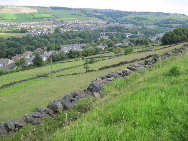
Rock Wood is a picturesque woodland located in Yorkshire, England. Situated in the heart of the county, this beautiful forest spans over an area of approximately 500 acres. The wood is known for its diverse flora and fauna, making it a popular destination for nature enthusiasts and hikers alike.
The name "Rock Wood" is derived from the rocky outcrops that can be found throughout the forest, adding a unique and rugged charm to the landscape. The woodland is predominantly made up of broadleaf trees, such as oak, beech, and birch, which provide a stunning canopy during the warmer months.
Visitors to Rock Wood can enjoy a variety of activities within its boundaries. There are several well-marked trails that crisscross the forest, offering opportunities for leisurely walks or more challenging hikes. The presence of a babbling brook adds to the tranquility of the area, making it a perfect spot for picnics or simply enjoying the sounds of nature.
Wildlife enthusiasts will be delighted to discover the rich biodiversity of Rock Wood. The forest is home to a wide range of animals, including deer, foxes, badgers, and an array of bird species. It is not uncommon to spot rare and elusive creatures such as red squirrels or even the occasional barn owl.
Rock Wood is easily accessible, with ample parking facilities and well-maintained footpaths. Its natural beauty, coupled with its convenient location, makes it a popular destination for locals and tourists seeking a peaceful retreat in the heart of Yorkshire.
If you have any feedback on the listing, please let us know in the comments section below.
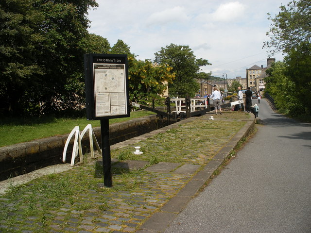
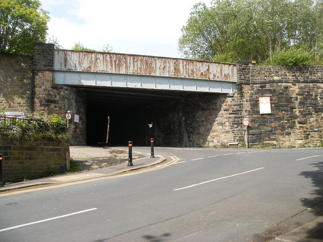
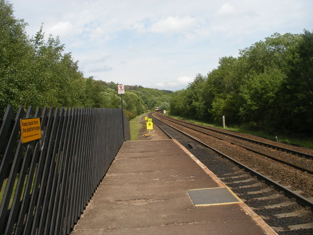
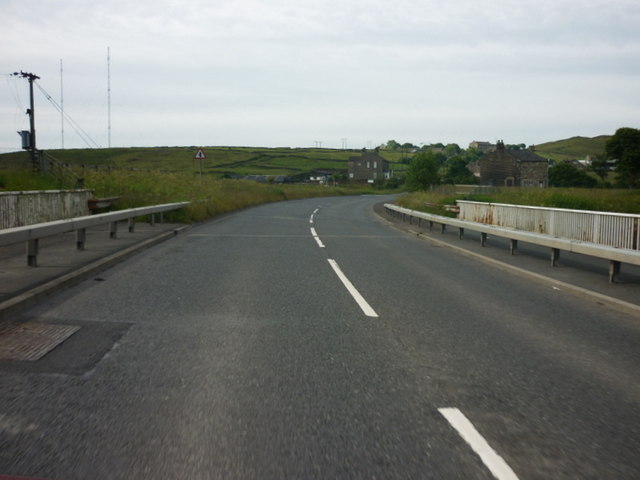
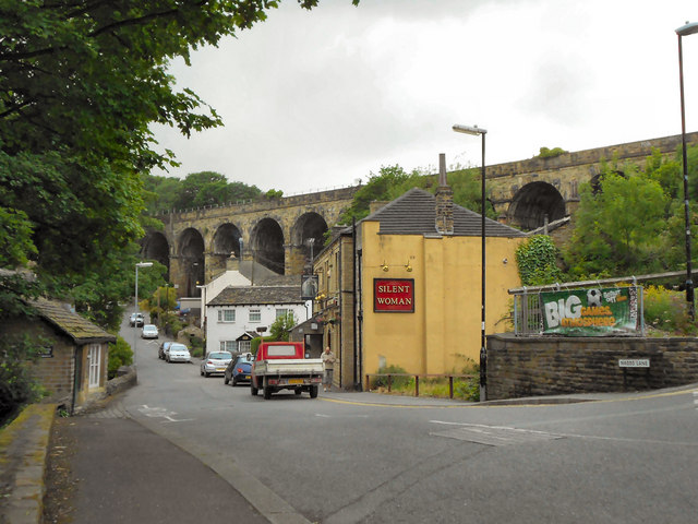
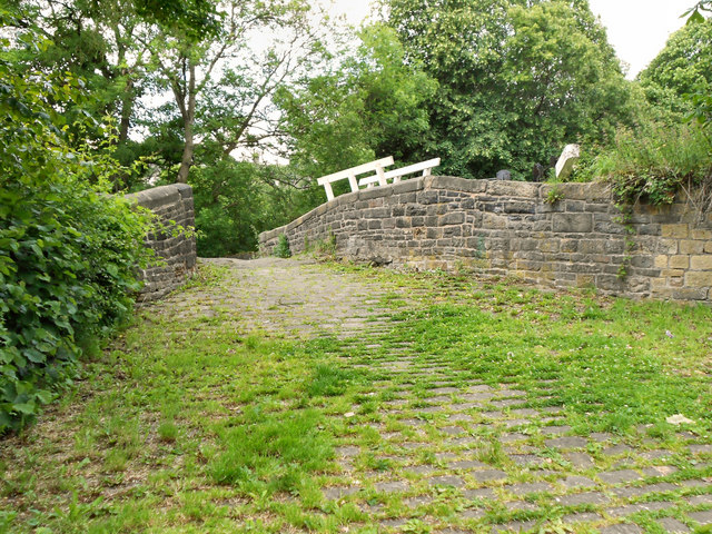
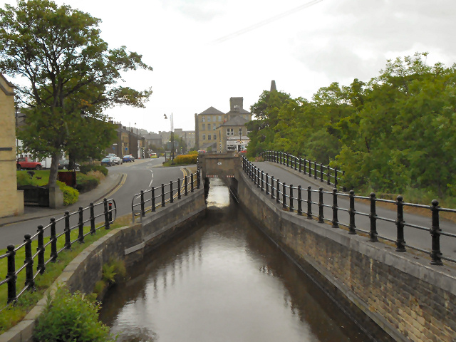
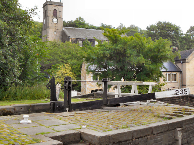
Rock Wood Images
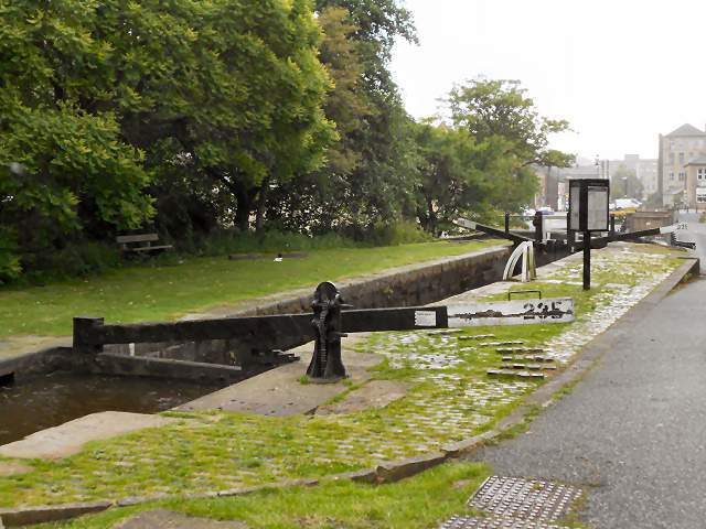
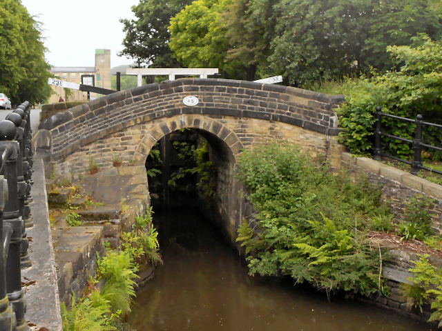
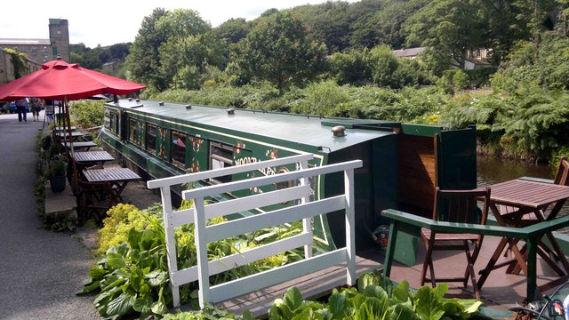
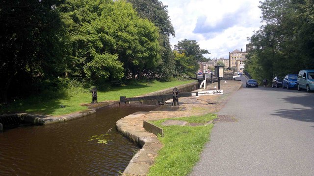
Images are sourced within 2km of 53.632798/-1.8809941 or Grid Reference SE0715. Thanks to Geograph Open Source API. All images are credited.

Rock Wood is located at Grid Ref: SE0715 (Lat: 53.632798, Lng: -1.8809941)
Division: West Riding
Unitary Authority: Kirklees
Police Authority: West Yorkshire
What 3 Words
///chain.pots.landlady. Near Linthwaite, West Yorkshire
Nearby Locations
Related Wikis
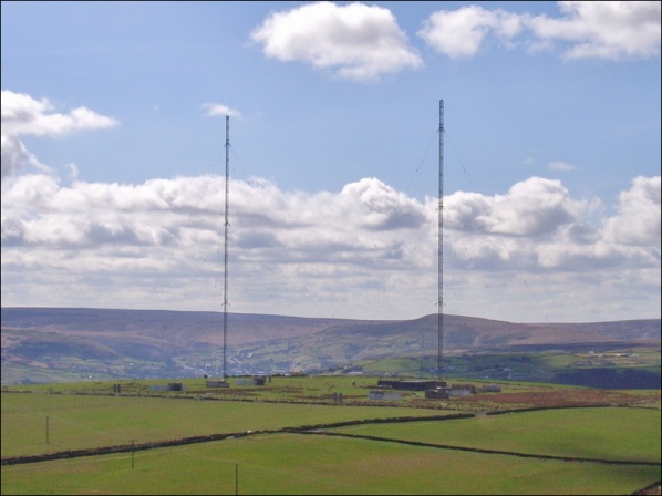
Moorside Edge transmitting station
Moorside Edge transmitting station, opened in 1931, was originally constructed to radiate the BBC's North Regional (from 17 May on 626 kHz) and National...

Moorside Edge
The Moorside Edge is a steeply sloping area of moorland at grid reference SE070154 just north of Slaithwaite and about 5 miles (8 km) west of Huddersfield...

Slaithwaite railway station
Slaithwaite railway station serves the town of Slaithwaite, West Yorkshire, England. The station is 4 miles (6 km) west of Huddersfield railway station...

Slaithwaite Town Hall
Slaithwaite Town Hall, also known as Empire House is a former municipal building in Lewisham Road in the town of Slaithwaite, West Yorkshire, England....

Slaithwaite
Slaithwaite (, locally 'Slaithwaite' ; Old Norse for "timber-fell thwaite/clearing") is a town and former civil parish in the Colne Valley area of the...

Wilberlee
Wilberlee is a hamlet in the Colne Valley, in the Kirklees district, in the county of West Yorkshire, England. It is near the town of Huddersfield and...

Colne Valley
The Colne Valley is a steep sided valley on the east flank of the Pennine Hills in the English county of West Yorkshire. It takes its name from the River...

Pole Moor
Pole Moor is a hamlet between Outlane and Scammonden in Kirklees, England. It is situated on a high moorland plateau between Slaithwaite and Wholestone...
Nearby Amenities
Located within 500m of 53.632798,-1.8809941Have you been to Rock Wood?
Leave your review of Rock Wood below (or comments, questions and feedback).