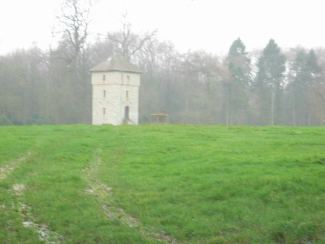
Ampney Knowle Brake
Wood, Forest in Gloucestershire Cotswold
England
Ampney Knowle Brake
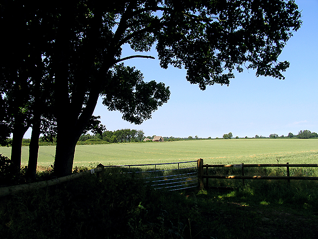
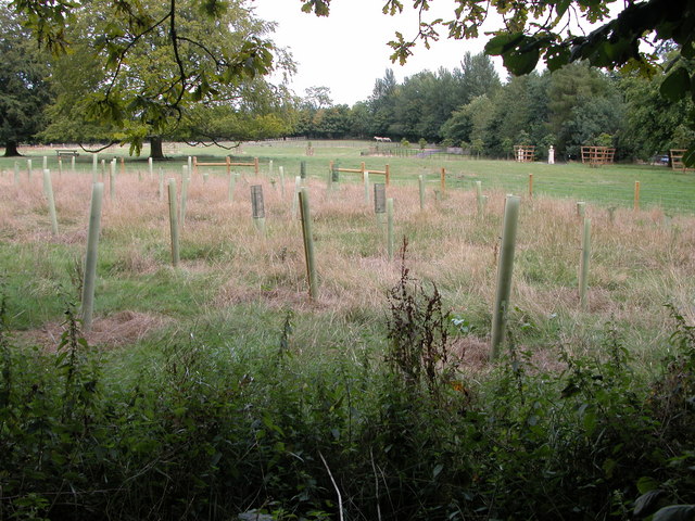
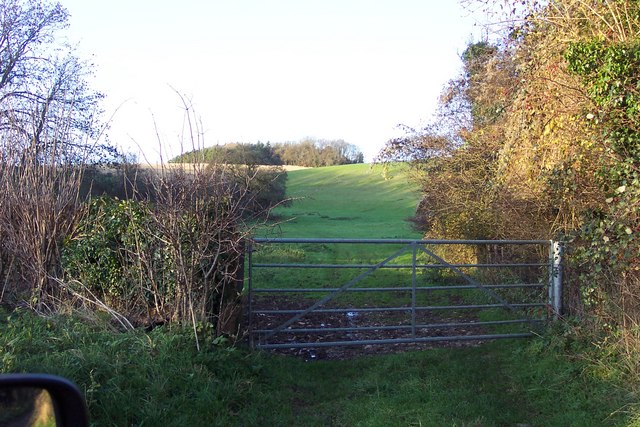
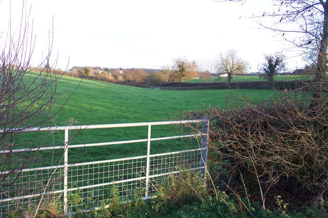
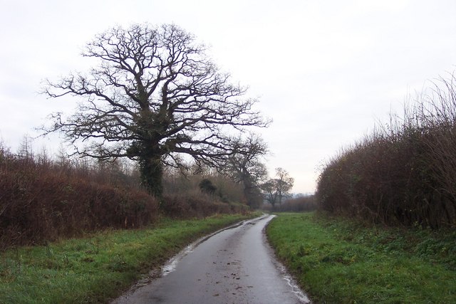
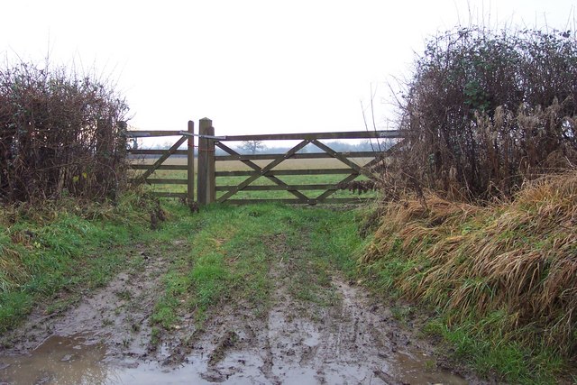
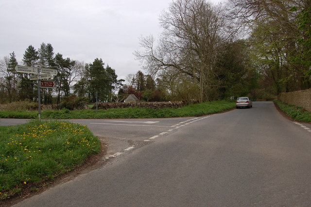
Ampney Knowle Brake is a picturesque woodland area located in Gloucestershire, England. Situated near the village of Ampney Knowle, this forested region spans across approximately 200 acres of land. The name "brake" refers to an old English term for a small area of woodland, typically composed of undergrowth and shrubs.
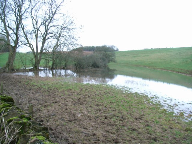
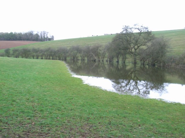
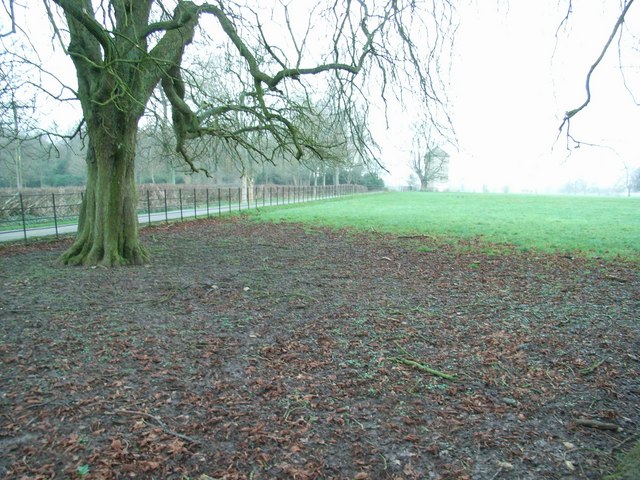
This woodland is known for its diverse range of tree species, including oak, beech, and birch. The dense canopy created by these trees provides a serene and tranquil atmosphere, making Ampney Knowle Brake a popular destination for nature lovers and hikers. The forest floor is covered with a rich carpet of ferns, moss, and wildflowers, adding to its natural beauty.
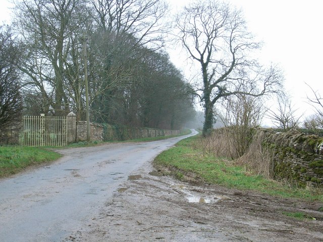
Several walking trails wind their way through the forest, offering visitors the opportunity to explore and immerse themselves in the peaceful surroundings. These paths are well-maintained and suitable for all skill levels, making them accessible to both experienced hikers and families with young children.
Wildlife enthusiasts will also find Ampney Knowle Brake to be a haven for various species. The forest is home to a wide range of birds, including woodpeckers, owls, and songbirds, making it an ideal spot for birdwatching. Other animals such as squirrels, rabbits, and deer can also be spotted within the woodland, providing a glimpse into the natural ecosystem.
Overall, Ampney Knowle Brake in Gloucestershire is a remarkable woodland area that offers visitors a chance to escape the hustle and bustle of everyday life and immerse themselves in the beauty of nature.
If you have any feedback on the listing, please let us know in the comments section below.
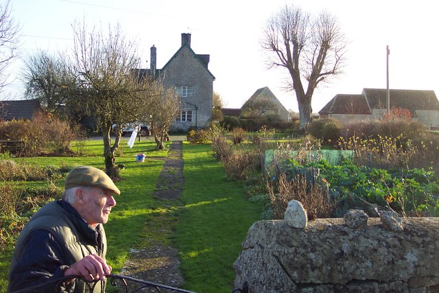
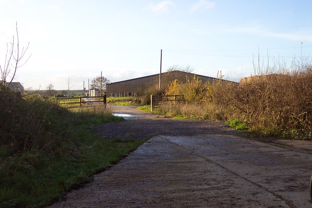
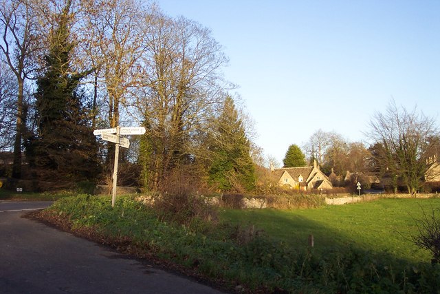
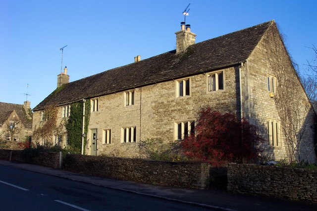
Ampney Knowle Brake Images
Images are sourced within 2km of 51.738056/-1.8885157 or Grid Reference SP0704. Thanks to Geograph Open Source API. All images are credited.
Ampney Knowle Brake is located at Grid Ref: SP0704 (Lat: 51.738056, Lng: -1.8885157)
Administrative County: Gloucestershire
District: Cotswold
Police Authority: Gloucestershire
What 3 Words
///roof.cobbles.treatable. Near Cirencester, Gloucestershire
Nearby Locations
Related Wikis
Barnsley, Gloucestershire
Barnsley is a village and civil parish in the Cotswold district of Gloucestershire, England, 3.7 miles (6.0 km) northeast of Cirencester. It is 125 kilometres...

Barnsley Park
Barnsley Park is a country house and park, measuring about 3 miles (4.8 km) in circumference in Barnsley, Gloucestershire, England. == History == An Iron...
Bournemouth Corporation Tramways
Bournemouth Corporation Tramways served the town of Bournemouth in Dorset (although at the time it was in Hampshire) from 23 July 1902 until 8 April 1936...
Ready Token
Ready Token is a hamlet in Gloucestershire, England, located in the Cotswold Hills near Poulton. Despite comprising only a handful of houses it is located...

Ampney Crucis
Ampney Crucis is a village and civil parish in the Cotswolds, part of the Cotswold District of Gloucestershire, England. The village is in the Ampney-Coln...

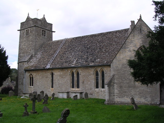
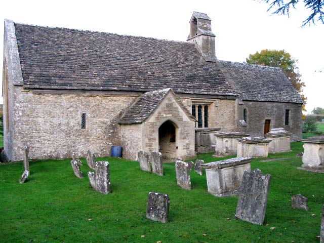
Church of the Holy Rood, Ampney Crucis
The Anglican Church of the Holy Rood at Ampney Crucis in the Cotswold District of Gloucestershire, England has Saxon foundations with some of the stonework...
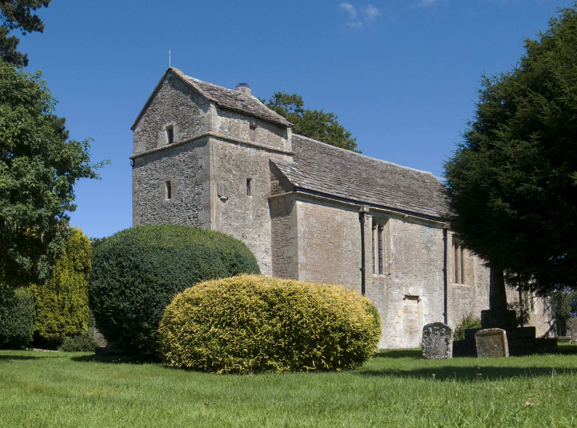
Church of St Mary, Ampney St Mary
The Anglican Church of St Mary at Ampney St Mary in the Cotswold District of Gloucestershire, England was built in the 12th and 13th centuries. It is a...
Ampney St Peter
Ampney St Peter is a small village and civil parish in the Cotswolds, part of the Cotswold of Gloucestershire, England. According to the 2014 mid year...
Nearby Amenities
Located within 500m of 51.738056,-1.8885157Have you been to Ampney Knowle Brake?
Leave your review of Ampney Knowle Brake below (or comments, questions and feedback).