Low Plantation
Wood, Forest in Derbyshire High Peak
England
Low Plantation
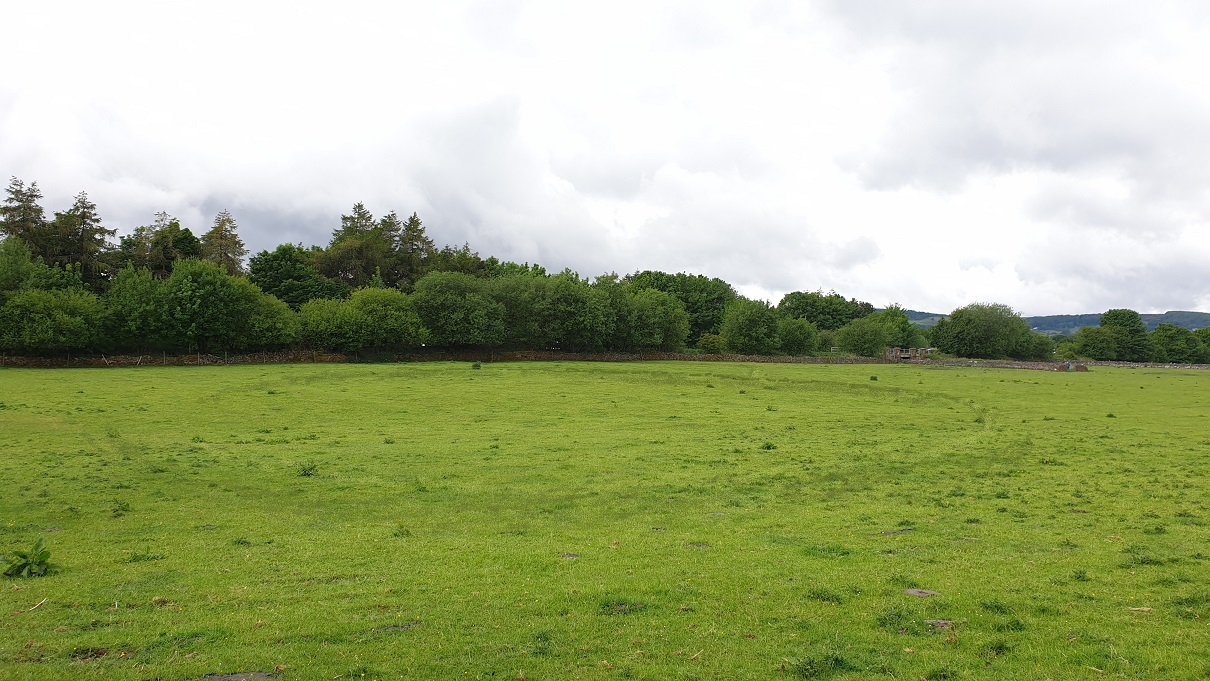
Low Plantation is a charming woodland located in Derbyshire, England. Nestled in the heart of the countryside, it offers a serene and idyllic retreat for nature enthusiasts and those seeking tranquility.
Covering a vast area, Low Plantation is predominantly characterized by its dense forest, which is home to a diverse range of plant and animal species. The woodland comprises a mixture of deciduous and coniferous trees, including oak, beech, birch, and pine, creating a rich tapestry of colors throughout the year.
Visitors to Low Plantation can enjoy a network of well-maintained trails that wind their way through the woodland, providing opportunities for leisurely walks, hikes, and jogging. The trails are suitable for all levels of fitness, with varying lengths and difficulty levels to cater to individual preferences.
Wildlife enthusiasts will be delighted by the abundance of fauna that calls Low Plantation home. Squirrels dart between the trees, while a wide array of bird species, such as woodpeckers and owls, can be spotted in the treetops. Patient observers may even catch a glimpse of elusive mammals, such as badgers and foxes, as they go about their daily routines.
Low Plantation offers more than just natural beauty; it also boasts several picnic areas and viewing points that provide stunning vistas of the surrounding countryside. These spots are perfect for enjoying a packed lunch or simply taking a moment to appreciate the splendor of nature.
Overall, Low Plantation is a haven of tranquility, offering visitors the chance to immerse themselves in the beauty of nature, explore its diverse wildlife, and find solace in the peaceful surroundings.
If you have any feedback on the listing, please let us know in the comments section below.
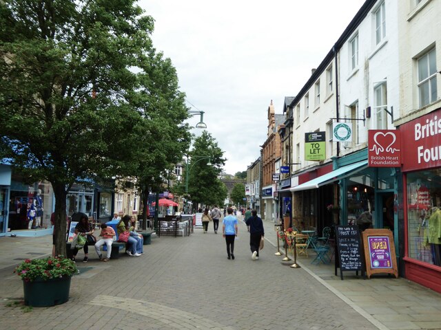
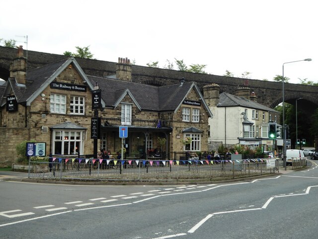
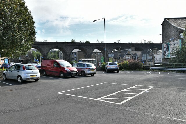
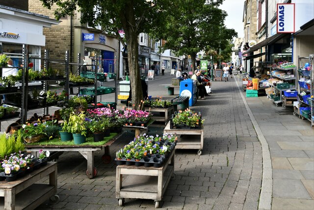
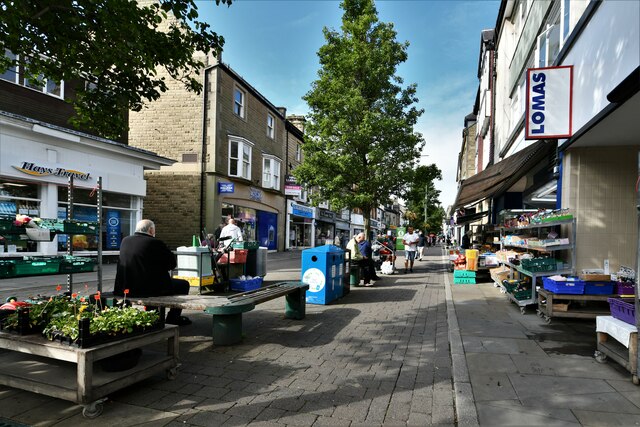
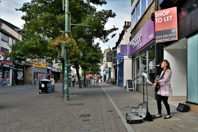
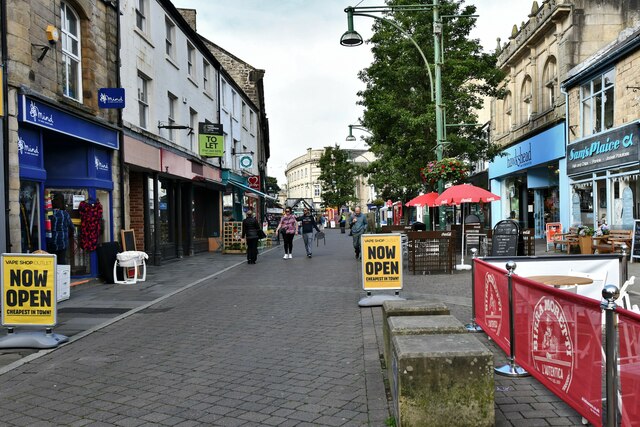
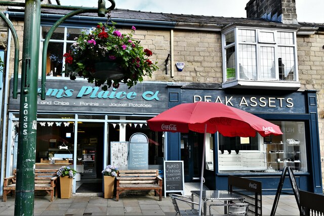
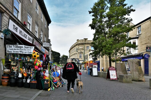
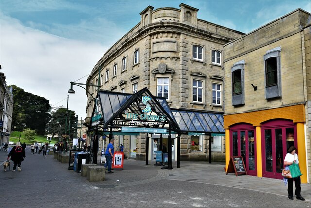
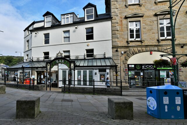
Low Plantation Images
Images are sourced within 2km of 53.262637/-1.8846155 or Grid Reference SK0773. Thanks to Geograph Open Source API. All images are credited.


Low Plantation is located at Grid Ref: SK0773 (Lat: 53.262637, Lng: -1.8846155)
Administrative County: Derbyshire
District: High Peak
Police Authority: Derbyshire
What 3 Words
///swam.wasps.jumpy. Near Buxton, Derbyshire
Nearby Locations
Related Wikis

Buxton and High Peak Golf Club
Buxton and High Peak Golf Club at Fairfield near Buxton in Derbyshire opened in 1887. The course is 5,993 yards (5,480 m) long with a par of 69. It is...

Fairfield, Derbyshire
Fairfield is a district of Buxton in the High Peak of Derbyshire. The historic medieval village of Fairfield was centred around a village green. ��2�...

Fairfield Halt railway station
Fairfield Halt was a railway station at Fairfield near Buxton, Derbyshire that was open between 1907 and 1939. The station was opened by the London & North...
Staden, Derbyshire
Staden is a small hamlet (of just a few buildings) on the southern outskirts of Buxton, Derbyshire, lying between Harpur Hill and Cowdale. It was occupied...
Buxton F.C.
Buxton Football Club is a football club based in Buxton, Derbyshire, England. They are currently members of the National League North and play at the Silverlands...
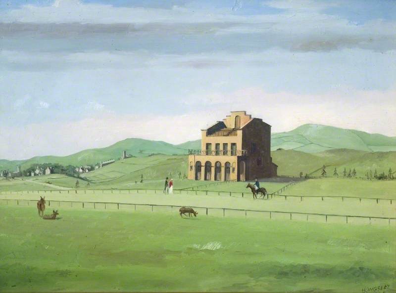
Buxton Racecourse
Buxton Racecourse was a horse racing track in the 19th century on Fairfield Common near Buxton in Derbyshire, England. In 1804 an earlier racecourse field...
Hogshawe
Hogshawe or Hogshaw is an area of settlement in Derbyshire, England. It is a part of Buxton, located between the A6 Fairfield Road and the present Peak...

Higher Buxton railway station
Higher Buxton railway station was opened in 1894 to the south east of Buxton, Derbyshire, on the LNWR line to Ashbourne and the south. It utilised part...
Related Videos

Hampton Court Circular walk | 4K | London Walk | Two royal parks | 🇬🇧 Hiking in uk for beginners
Two royal parks and Britain's finest surviving Tudor building Main Walk: 12½ km (7.8 miles). Two hours 45 minutes walking time.
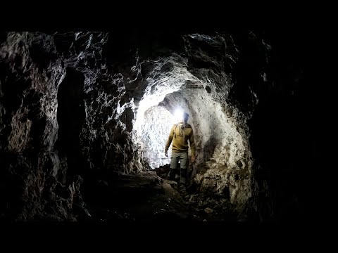
Hiking to Hidden Caves in The Wye Valley, UK | Lejog Training Ep.25
In this hiking vlog I hike to hidden caves found in a beautiful part of the UK boarding Wales and England called The Wye Valley.
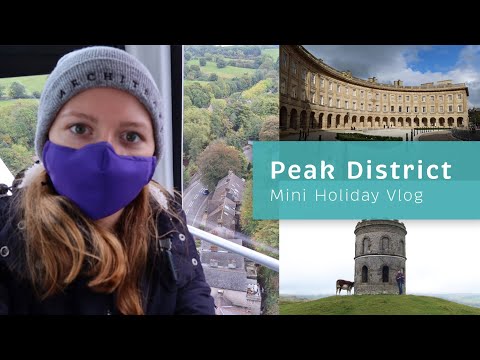
What to do Over Two Nights in the Peak District | Holiday Vlog Pandemic Style
Hello! Since we can't really go abroad this year, we decided to have a couple of nights in the Peak District in the UK. We walked ...

Buxton Daytrip Part 1 | Alex & Rachelle travel series
Buxton is historically known as the “Aquae Arnemetiae” or the Spa of the Goddess of the Grove. It is one of the finest spa towns in ...
Nearby Amenities
Located within 500m of 53.262637,-1.8846155Have you been to Low Plantation?
Leave your review of Low Plantation below (or comments, questions and feedback).