Eaves Top Wood
Wood, Forest in Yorkshire
England
Eaves Top Wood
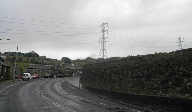
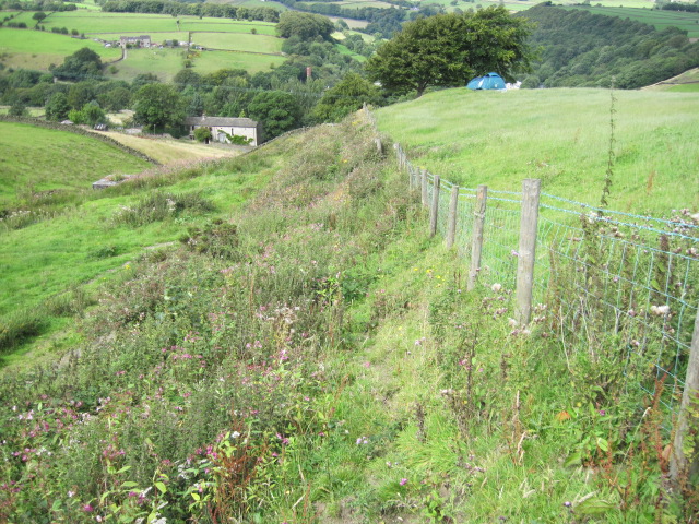
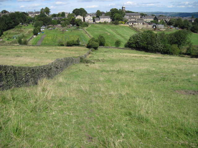
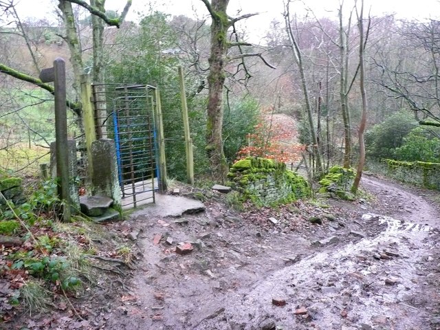
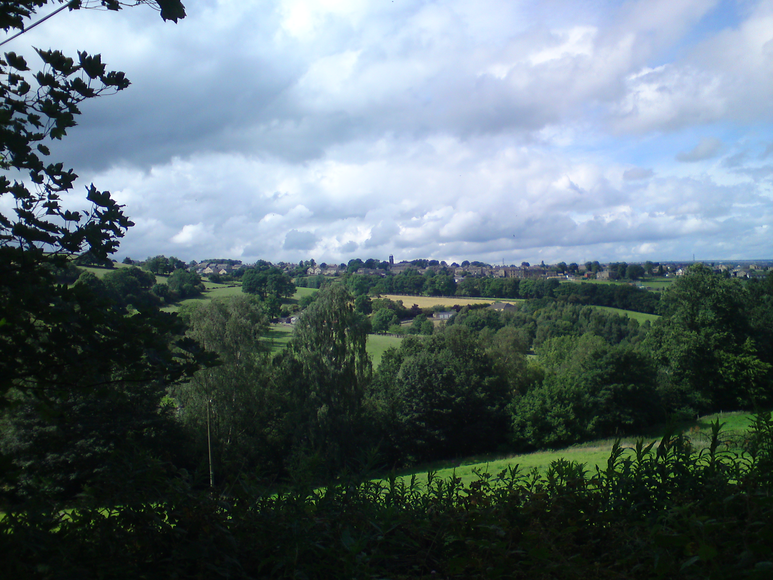
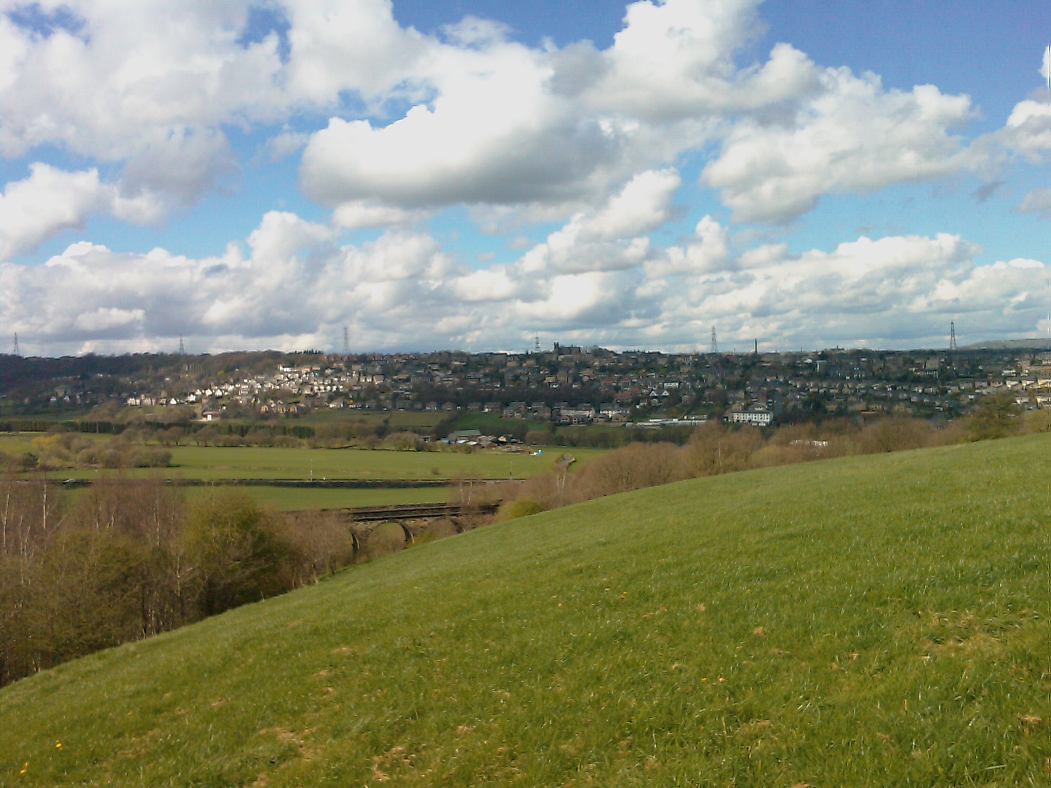
Eaves Top Wood, located in Yorkshire, England, is a picturesque and enchanting woodland that offers visitors a tranquil and serene escape from the hustle and bustle of everyday life. Covering an area of approximately 20 hectares, this ancient forest is renowned for its diverse range of trees, wildlife, and stunning natural beauty.
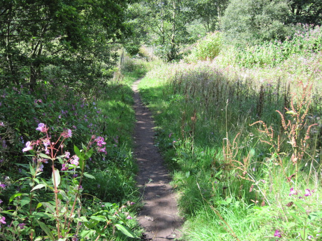
The woodland is predominantly composed of deciduous trees, including oak, beech, and birch, which create a dense and lush canopy overhead. The forest floor is adorned with an array of vibrant wildflowers, ferns, and mosses, adding to the enchanting atmosphere of the wood.
Eaves Top Wood is home to a rich and diverse wildlife population. Visitors may be lucky enough to spot various species of birds, such as woodpeckers, owls, and warblers, flitting amongst the branches. Squirrels scamper through the trees, and if you're patient and observant, you might catch a glimpse of a shy deer or fox.
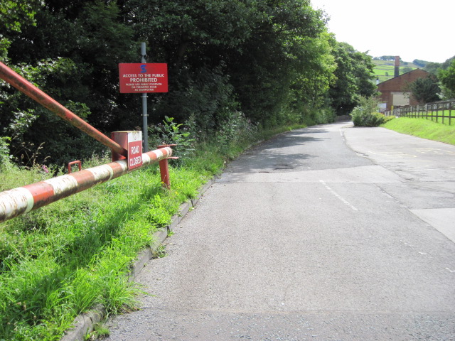
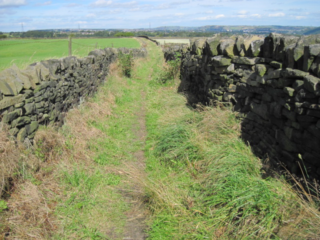
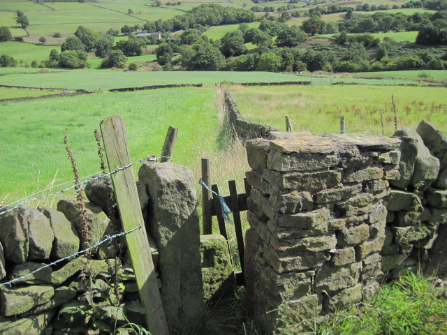
The wood is intersected by several footpaths and trails, providing visitors with the opportunity to explore its captivating beauty. As you wander along the winding paths, you'll come across babbling brooks and small ponds, adding to the peaceful ambiance of the woodland.
Eaves Top Wood is a popular destination for nature lovers, hikers, and photographers, who are drawn to its serene and untouched beauty. Whether you're looking for a leisurely stroll, a spot of birdwatching, or simply a place to reconnect with nature, Eaves Top Wood offers a truly magical experience for all who visit.
If you have any feedback on the listing, please let us know in the comments section below.
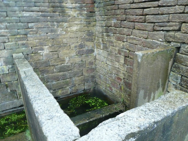
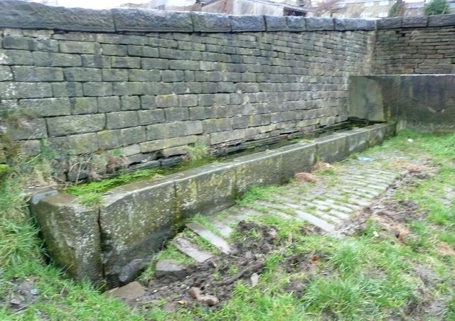
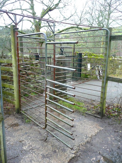
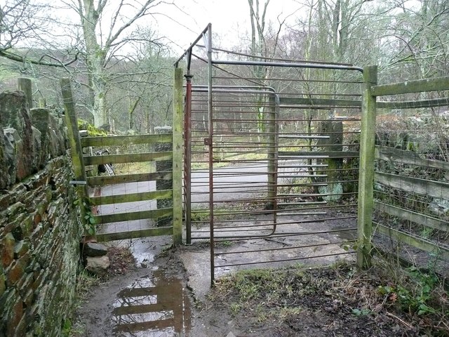
Eaves Top Wood Images
Images are sourced within 2km of 53.67731/-1.8840783 or Grid Reference SE0720. Thanks to Geograph Open Source API. All images are credited.


Eaves Top Wood is located at Grid Ref: SE0720 (Lat: 53.67731, Lng: -1.8840783)
Division: West Riding
Unitary Authority: Calderdale
Police Authority: West Yorkshire
What 3 Words
///hidden.blame.units. Near Holywell Green, West Yorkshire
Nearby Locations
Related Wikis
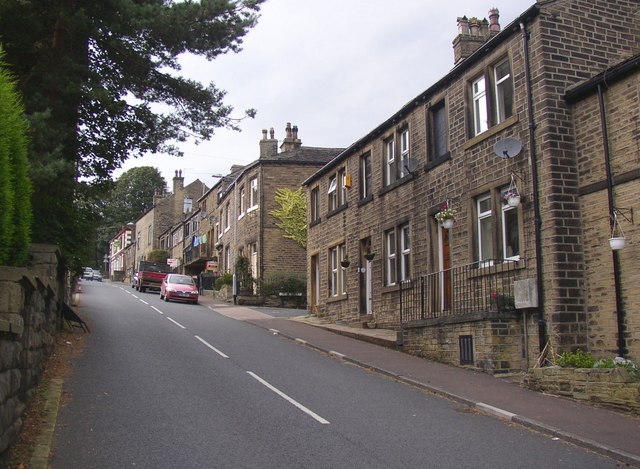
Stainland
Stainland is a village in the civil parish of Stainland and District, in Calderdale, West Yorkshire, England. The village is part of the Greetland and...

Holywell Green
Holywell Green is a village in the civil parish of Stainland and District, in the Calderdale, district, in the county of West Yorkshire, England. The village...
Greetland
Greetland is a village in the metropolitan borough of Calderdale in West Yorkshire, England. It lies in the Calderdale Ward of Greetland and Stainland...
Stainland and Holywell Green railway station
Stainland and Holywell Green railway station served the villages of Stainland and Holywell Green in West Yorkshire, England from 1875 until 1929. Goods...

Stainland and District
Stainland and District is a civil parish in the Metropolitan Borough of Calderdale in West Yorkshire, England. The main settlements in the parish are Stainland...

Sowood, West Yorkshire
Sowood is a village in the civil parish of Stainland and District, in the Calderdale district, in the county of West Yorkshire, England. The village falls...

West Vale railway station
West Vale railway station served on the Stainland Branch from 1875 to 1929. == History == The station was opened on New years day 1875, along with the...

Old Lindley
Old Lindley or Over Lindley is a hamlet in the civil parish of Stainland and District, in the Calderdale district, in the county of West Yorkshire, England...
Nearby Amenities
Located within 500m of 53.67731,-1.8840783Have you been to Eaves Top Wood?
Leave your review of Eaves Top Wood below (or comments, questions and feedback).