Long Furlong
Wood, Forest in Gloucestershire Cotswold
England
Long Furlong
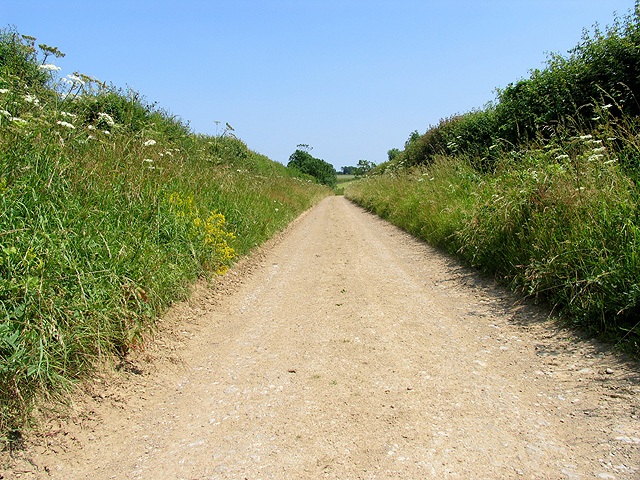
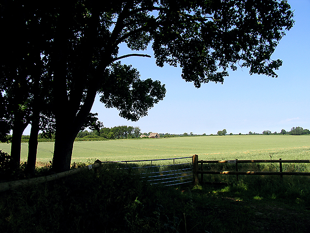
Long Furlong is a small village located in the county of Gloucestershire, England. Situated within the stunning Forest of Dean, it is surrounded by lush woodland and picturesque countryside. The village is known for its natural beauty and peaceful atmosphere, making it a popular destination for nature lovers and outdoor enthusiasts.
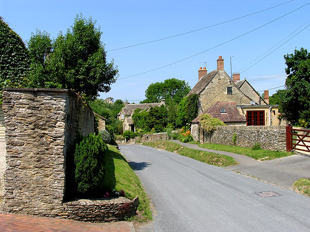
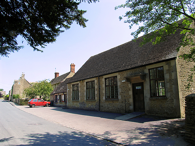
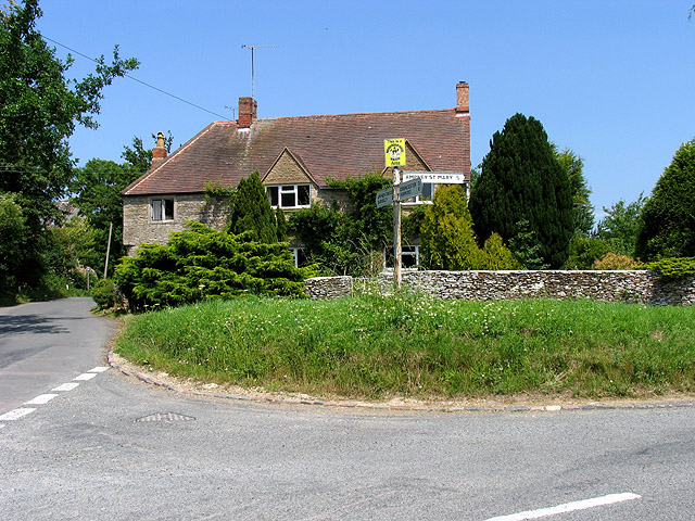
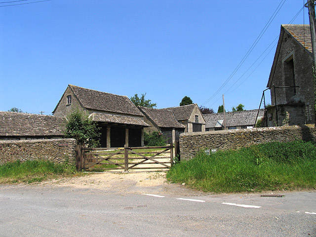
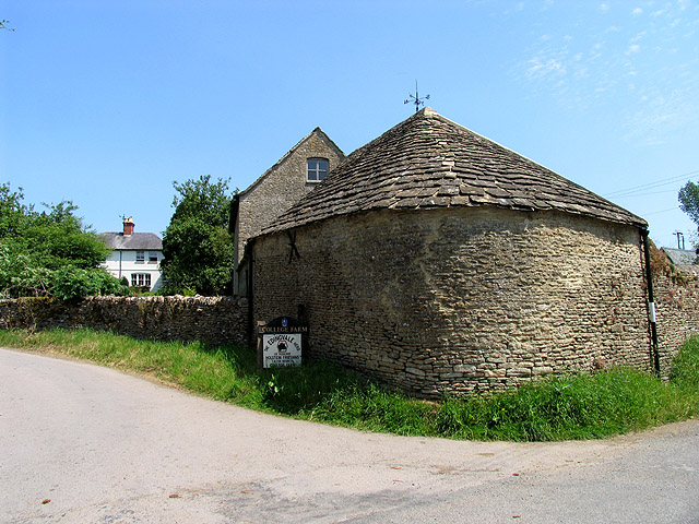
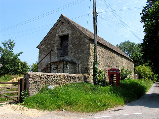
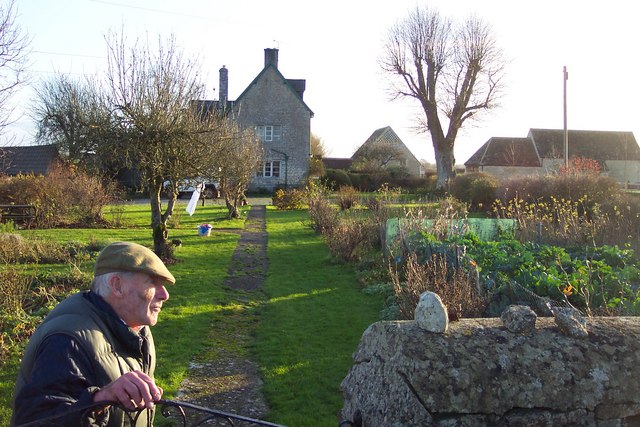
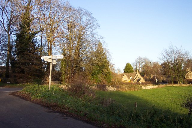
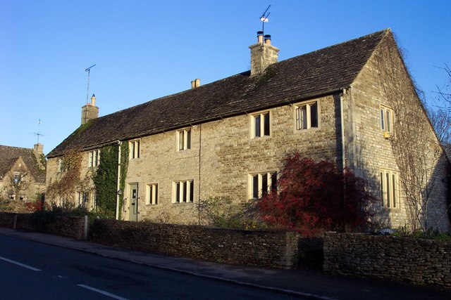
Long Furlong is characterized by its charming and traditional architecture, with many of the houses and buildings dating back several centuries. The village is lined with quaint cottages, stone walls, and narrow lanes, giving it a timeless and idyllic appeal.
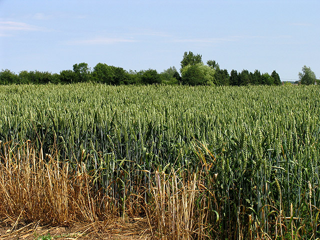
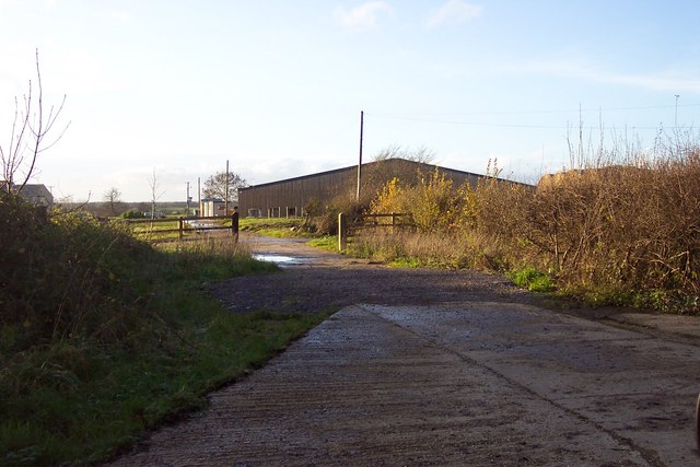
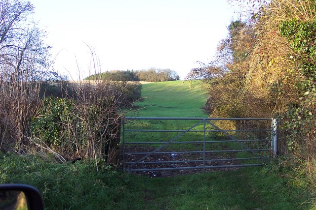
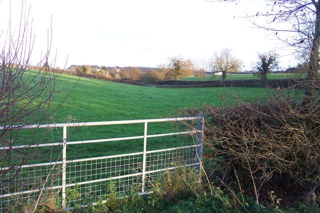
One of the main attractions in Long Furlong is its proximity to the Forest of Dean, a vast woodland area that offers numerous recreational opportunities. Visitors can explore the forest's extensive network of walking and cycling trails, which lead to hidden valleys, ancient woodlands, and breathtaking viewpoints. The forest is also home to a rich variety of wildlife, including deer, badgers, and a wide array of bird species.
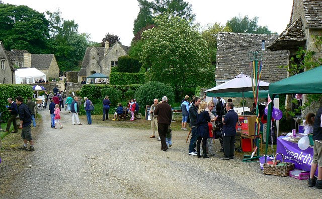
In addition to its natural beauty, Long Furlong is known for its strong sense of community. The village has a close-knit population, and residents often organize events and activities to bring people together. The local pub is a focal point of the community, serving as a gathering place for both locals and visitors alike.
Overall, Long Furlong in Gloucestershire is a charming village nestled within the enchanting Forest of Dean. With its beautiful surroundings, historic architecture, and welcoming community, it offers a tranquil retreat for those seeking a peaceful getaway in the heart of nature.
If you have any feedback on the listing, please let us know in the comments section below.
Long Furlong Images
Images are sourced within 2km of 51.729643/-1.8908675 or Grid Reference SP0703. Thanks to Geograph Open Source API. All images are credited.
Long Furlong is located at Grid Ref: SP0703 (Lat: 51.729643, Lng: -1.8908675)
Administrative County: Gloucestershire
District: Cotswold
Police Authority: Gloucestershire
What 3 Words
///cloak.skims.habits. Near Cirencester, Gloucestershire
Nearby Locations
Related Wikis
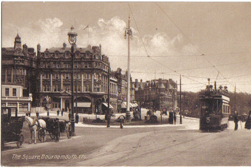
Bournemouth Corporation Tramways
Bournemouth Corporation Tramways served the town of Bournemouth in Dorset (although at the time it was in Hampshire) from 23 July 1902 until 8 April 1936...
Barnsley, Gloucestershire
Barnsley is a village and civil parish in the Cotswold district of Gloucestershire, England, 3.7 miles (6.0 km) northeast of Cirencester. It is 125 kilometres...

Ampney Crucis
Ampney Crucis is a village and civil parish in the Cotswolds, part of the Cotswold District of Gloucestershire, England. The village is in the Ampney-Coln...
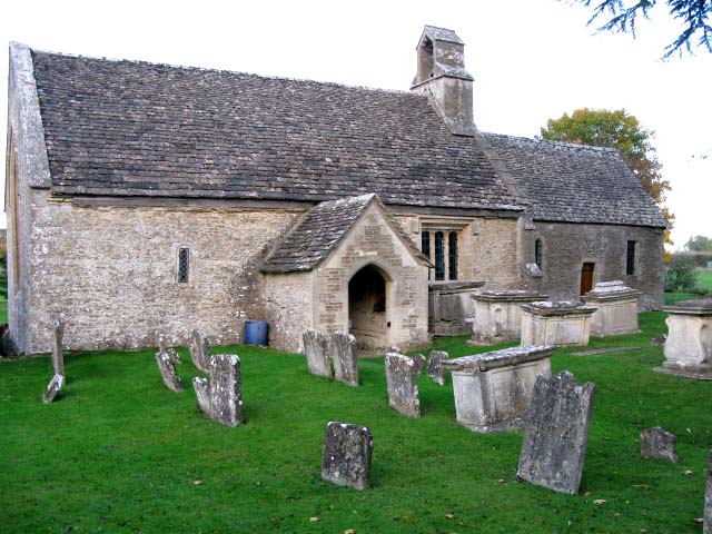
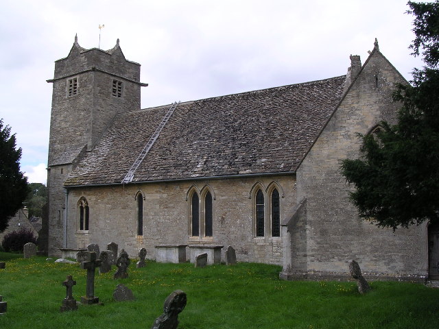
Church of St Mary, Ampney St Mary
The Anglican Church of St Mary at Ampney St Mary in the Cotswold District of Gloucestershire, England was built in the 12th and 13th centuries. It is a...

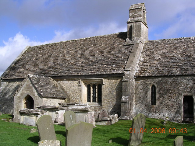
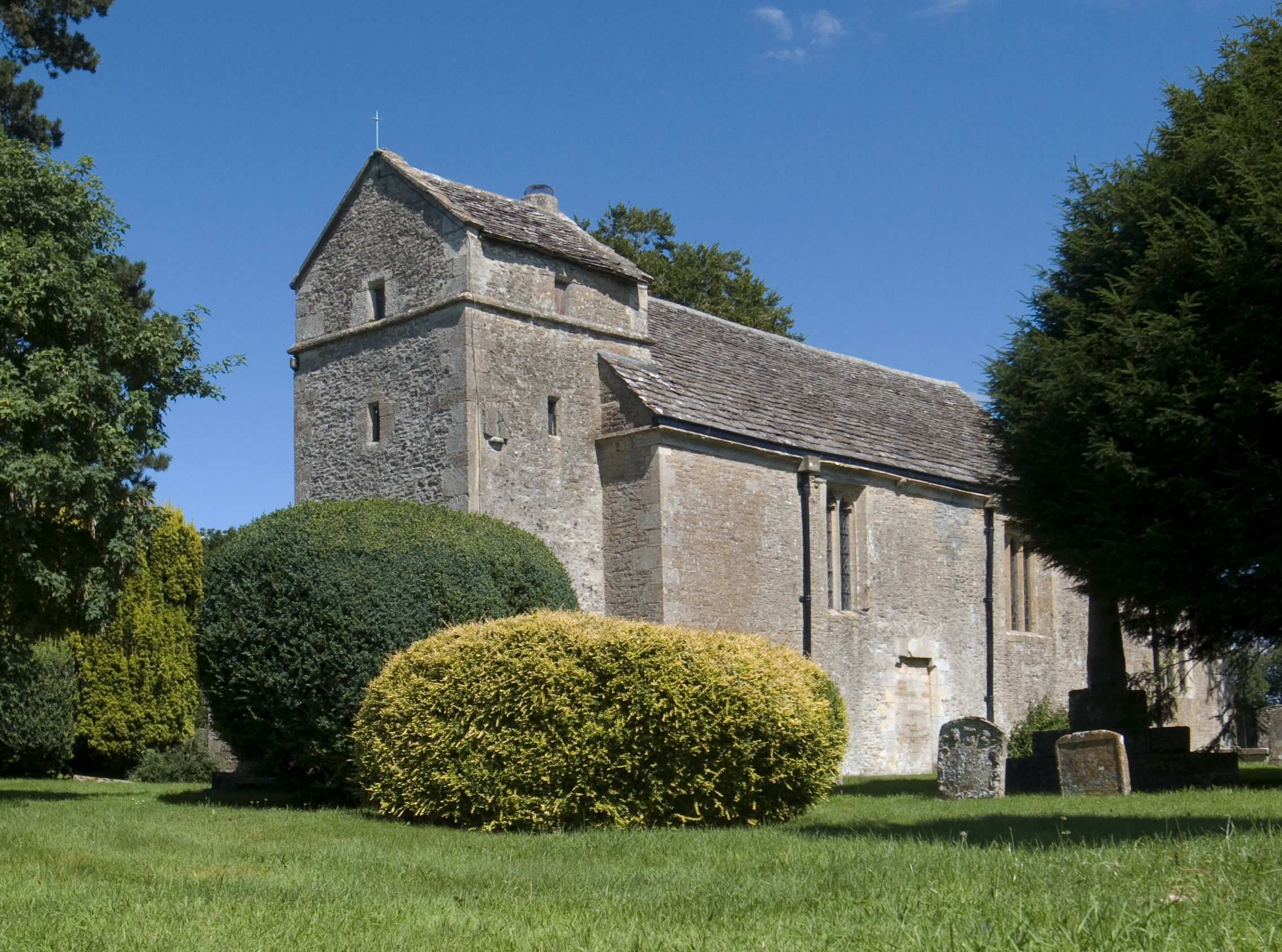
Church of the Holy Rood, Ampney Crucis
The Anglican Church of the Holy Rood at Ampney Crucis in the Cotswold District of Gloucestershire, England has Saxon foundations with some of the stonework...
Ampney St Peter
Ampney St Peter is a small village and civil parish in the Cotswolds, part of the Cotswold of Gloucestershire, England. According to the 2014 mid year...

Ampney Park
Ampney Park is a 16th century manor house at Ampney Crucis, Gloucestershire, England. It is a Grade II listed building. == History == The estate is attached...

Ampney St Mary
Ampney St Mary is a small village and civil parish in the Cotswolds, part of the Cotswold District of Gloucestershire, England. According to the 2001 census...
Nearby Amenities
Located within 500m of 51.729643,-1.8908675Have you been to Long Furlong?
Leave your review of Long Furlong below (or comments, questions and feedback).