Alder Wood
Wood, Forest in Northumberland
England
Alder Wood
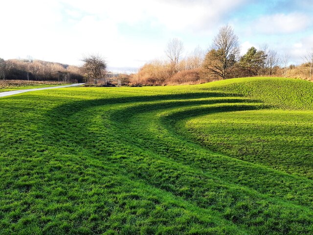
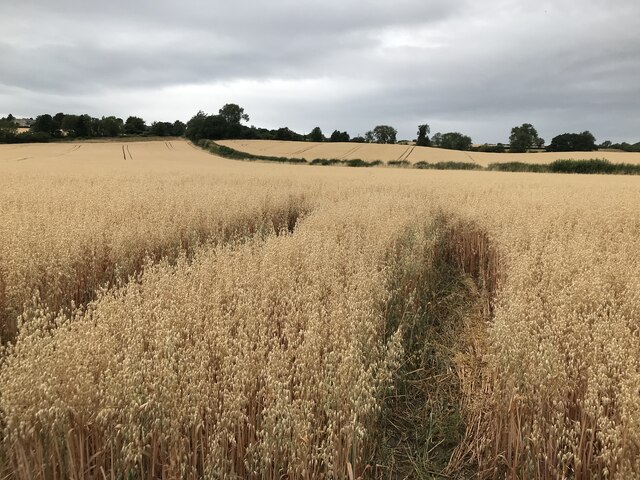
Alder Wood is a picturesque forest located in the county of Northumberland, England. Situated amidst the captivating Northumberland National Park, this enchanting woodland covers a vast area of approximately 500 acres. The forest is predominantly composed of alder trees, which lend their name to the wood.
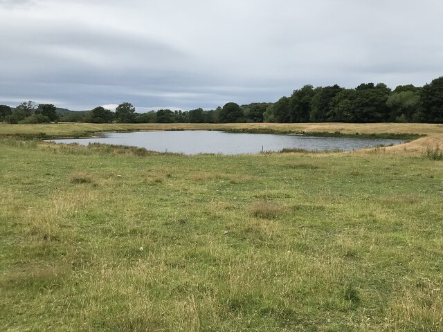
The wood boasts a diverse range of flora and fauna, making it a haven for nature enthusiasts and wildlife lovers alike. The towering alder trees create a dense canopy, providing shelter to a variety of bird species such as woodpeckers, owls, and thrushes. The forest floor is adorned with a rich tapestry of wildflowers, ferns, and mosses, creating a vibrant and dynamic ecosystem.
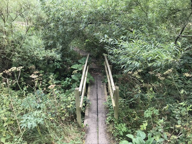
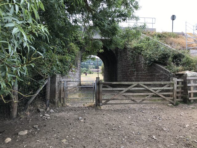
Visitors to Alder Wood can explore its numerous walking trails, immersing themselves in the serene beauty of nature. The well-maintained paths wind through the forest, offering breathtaking views of the surrounding landscape, including rolling hills and meandering streams.
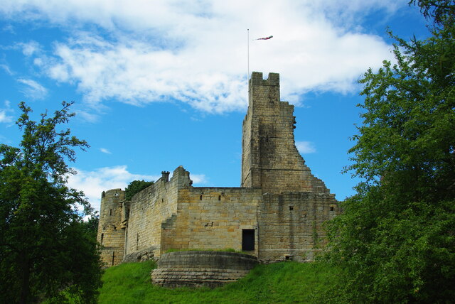
Alder Wood also holds historical significance, with evidence of human activity dating back centuries. The wood contains remnants of ancient settlements, including stone circles and burial mounds, which serve as a reminder of the area's rich cultural heritage.
Nature conservation is a top priority for the management of Alder Wood, ensuring the preservation of its unique ecosystem. The wood is protected as a Site of Special Scientific Interest, safeguarding its biodiversity and natural beauty for future generations to enjoy.
Overall, Alder Wood is a tranquil and captivating destination, offering a sanctuary for both wildlife and humans alike.
If you have any feedback on the listing, please let us know in the comments section below.
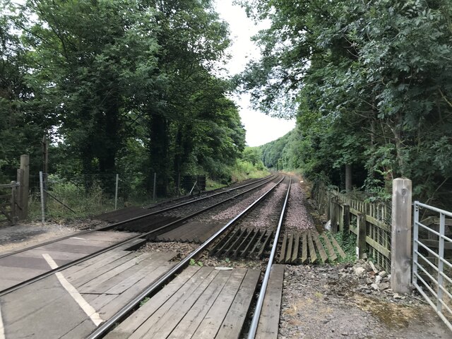
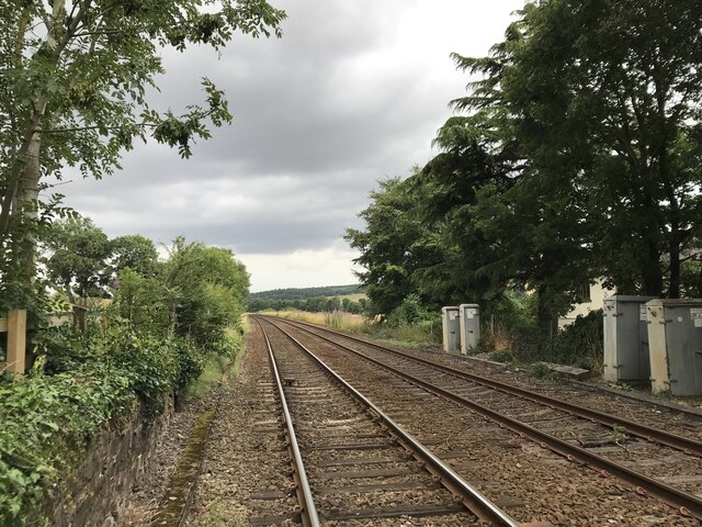
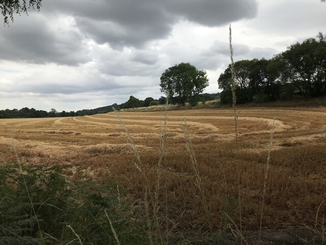
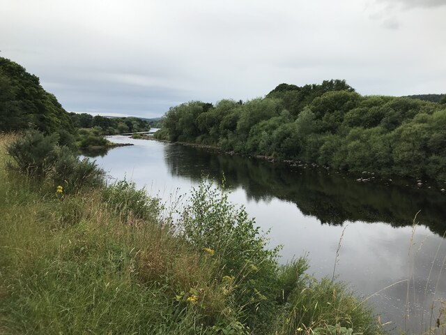
Alder Wood Images
Images are sourced within 2km of 54.963629/-1.8866602 or Grid Reference NZ0763. Thanks to Geograph Open Source API. All images are credited.


Alder Wood is located at Grid Ref: NZ0763 (Lat: 54.963629, Lng: -1.8866602)
Unitary Authority: Northumberland
Police Authority: Northumbria
What 3 Words
///complain.chatters.eating. Near Prudhoe, Northumberland
Nearby Locations
Related Wikis

Cherryburn
Cherryburn is a cottage in Mickley, Northumberland, England. It was the birthplace of Thomas Bewick, an English wood engraver and ornithologist. The cottage...

Ovington, Northumberland
The civil parish of Ovington lies in southern Northumberland, on the north bank of the River Tyne. It is one of the smallest parishes in the county....

A695 road
A695 road is a road in Northern England linking Newcastle upon Tyne, Tyne and Wear, with Hexham, Northumberland. == Motorway == It was part of the proposed...
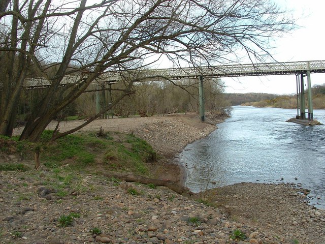
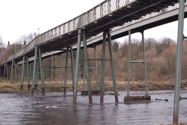
Ovingham Bridge
Ovingham Bridges are a pair of side-by-side vehicle and pedestrian bridges across the River Tyne linking Ovingham and Prudhoe in Northumberland, England...
Ovingham
Ovingham is a civil parish and village in the Tyne Valley of south Northumberland, England. It lies on the River Tyne 10 miles (16 km) east of Hexham...

Prudhoe railway station
Prudhoe is a railway station on the Tyne Valley Line, which runs between Newcastle and Carlisle via Hexham. The station, situated 12 miles 1 chain (12...
West Mickley
West Mickley is a hamlet east of Stocksfield, in the southern part of Northumberland, England. Along with the neighbouring settlements of High Mickley...

Branch End
Branch End is part of the village of Stocksfield in Northumberland, England. It is situated at the junction of the A695 Main Road with New Ridley Road...
Nearby Amenities
Located within 500m of 54.963629,-1.8866602Have you been to Alder Wood?
Leave your review of Alder Wood below (or comments, questions and feedback).