Virgin Hill Wood
Wood, Forest in Northumberland
England
Virgin Hill Wood

Virgin Hill Wood is a pristine woodland area located in the picturesque county of Northumberland, England. Situated in the northern part of the county, this enchanting forest covers an expansive area of approximately 500 acres. The wood derives its name from the adjacent Virgin Hill, a small hill that offers stunning panoramic views of the surrounding countryside.
The woodland is predominantly composed of native broadleaf trees such as oak, ash, birch, and beech, creating a diverse and vibrant ecosystem. These trees provide a habitat for a wide range of wildlife, including birds, mammals, and insects. Visitors to Virgin Hill Wood can expect to encounter species such as red squirrels, roe deer, and a variety of woodland birds.
The wood offers a network of well-maintained footpaths, allowing visitors to explore its natural beauty at their own pace. The peaceful atmosphere and serene surroundings make it a perfect destination for nature lovers, hikers, and photographers alike.
Virgin Hill Wood also holds historical significance, with remnants of ancient structures and settlements scattered throughout the area. Archaeological evidence suggests that the wood has been inhabited for thousands of years, adding an additional layer of intrigue to its allure.
Managed by a local conservation organization, Virgin Hill Wood is actively protected and maintained to preserve its natural beauty and ecological importance. The wood is open to the public year-round, offering a tranquil and immersive experience for all who venture into its leafy depths.
If you have any feedback on the listing, please let us know in the comments section below.
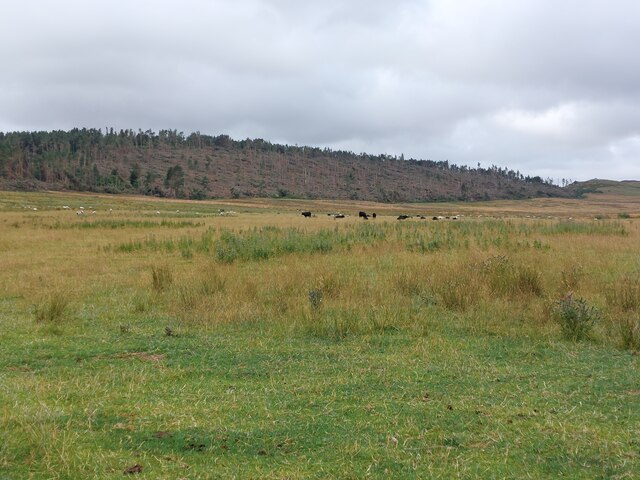
Virgin Hill Wood Images
Images are sourced within 2km of 55.610798/-1.8849006 or Grid Reference NU0735. Thanks to Geograph Open Source API. All images are credited.


Virgin Hill Wood is located at Grid Ref: NU0735 (Lat: 55.610798, Lng: -1.8849006)
Unitary Authority: Northumberland
Police Authority: Northumbria
What 3 Words
///prettiest.multiples.unimpeded. Near Belford, Northumberland
Nearby Locations
Related Wikis

Middleton, Northumberland
Middleton is a settlement and civil parish in Northumberland, England. The parish is situated on the North Sea coast, south of the island of Lindisfarne...

Middleton Hall, Middleton, Northumberland
Middleton Hall is a country house near the settlement of Middleton, Northumberland, in that parish, that dates from 1871. It is listed Grade II on the...
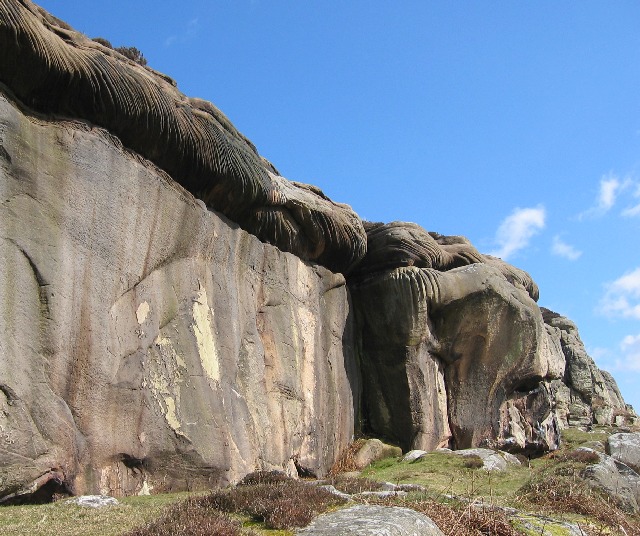
Colour Heugh and Bowden Doors
Colour Heugh and Bowden Doors are two crag rock formations in north Northumberland in North East England, designated as a Site of Special Scientific Interest...

Holburn Lake and Moss
Holburn Lake and Moss is a nature reserve in Northumberland, England to the east of the village of Holburn. Nearby is St Cuthbert's Cave. == The lake... ==

Holburn
Holburn is a hamlet in the English county of Northumberland. Holburn is located between Lowick and Belford. == Governance == Holburn is in the parliamentary...

Westhall, Northumberland
Westhall is a privately owned 19th-century castellated house at Belford in Northumberland, England now in use as a farm. It is on a site with older historical...

Buckton, Northumberland
Buckton is a small village in Northumberland, North East England, located just over 5 km north of Belford.Buckton consists of a farm and a few cottages...

Smeafield railway station
Smeafield railway station served the farmstead of Smeafield, Northumberland, England from 1871 to 1930 on the East Coast Main Line. == History == The station...
Nearby Amenities
Located within 500m of 55.610798,-1.8849006Have you been to Virgin Hill Wood?
Leave your review of Virgin Hill Wood below (or comments, questions and feedback).