Apperleybankfoot Wood
Wood, Forest in Northumberland
England
Apperleybankfoot Wood

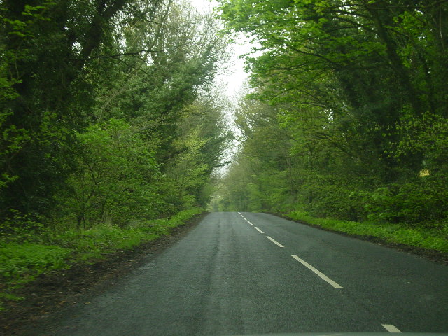
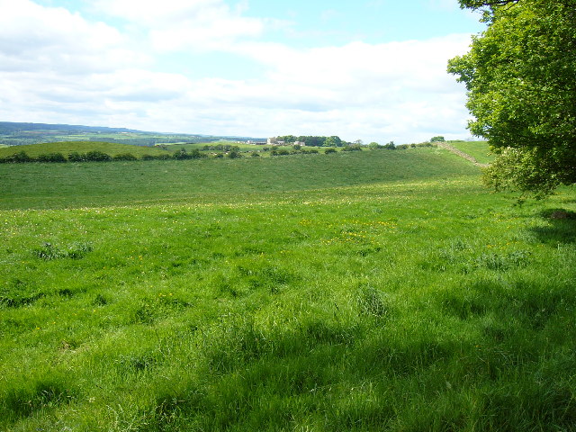
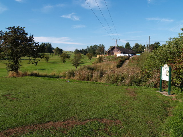
Apperleybankfoot Wood is a picturesque woodland located in the county of Northumberland, England. Situated near the village of Apperley, the wood covers an area of approximately 100 acres and is considered one of the region's hidden gems.
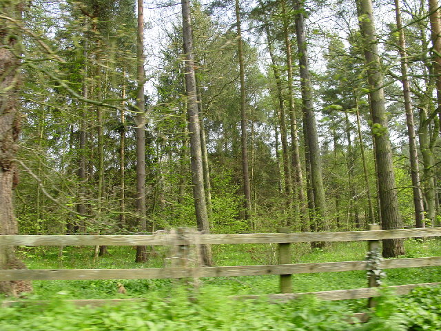
The wood is predominantly made up of native deciduous trees, including oak, birch, and beech, which create a diverse and vibrant canopy throughout the seasons. The forest floor is covered in a rich carpet of wildflowers, ferns, and mosses, providing a haven for a variety of wildlife.
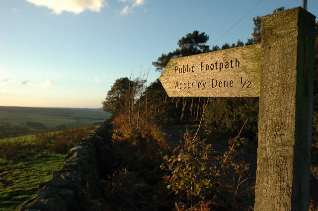
The wood is crisscrossed by a network of footpaths and trails, making it a popular destination for walkers, nature enthusiasts, and families. The paths wind through the wood, offering visitors the opportunity to explore the different habitats and enjoy the tranquility of the surroundings.
Apperleybankfoot Wood is teeming with wildlife, and visitors may catch glimpses of red squirrels, roe deer, and a wide range of bird species, including woodpeckers and owls. The wood also supports a diverse range of insect life, with butterflies and dragonflies often seen darting through the trees.
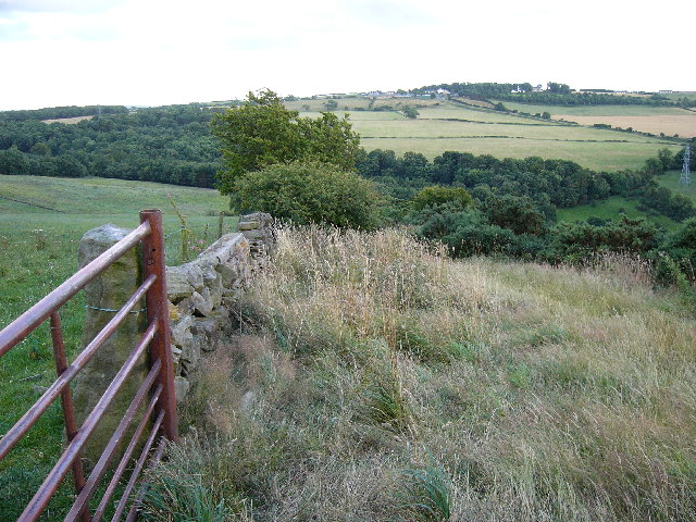
In addition to its natural beauty, Apperleybankfoot Wood has historical significance. It is believed that the wood was once part of a larger ancient forest that covered the area in medieval times. The remnants of old boundary walls and the remains of a medieval chapel can still be found within the wood.
Overall, Apperleybankfoot Wood offers a peaceful and enchanting escape into nature, where visitors can immerse themselves in the beauty of the woodland and discover the rich biodiversity that thrives within its boundaries.
If you have any feedback on the listing, please let us know in the comments section below.
Apperleybankfoot Wood Images
Images are sourced within 2km of 54.916834/-1.892657 or Grid Reference NZ0658. Thanks to Geograph Open Source API. All images are credited.


Apperleybankfoot Wood is located at Grid Ref: NZ0658 (Lat: 54.916834, Lng: -1.892657)
Unitary Authority: Northumberland
Police Authority: Northumbria
What 3 Words
///speedily.wolf.presumes. Near Stocksfield, Northumberland
Nearby Locations
Related Wikis

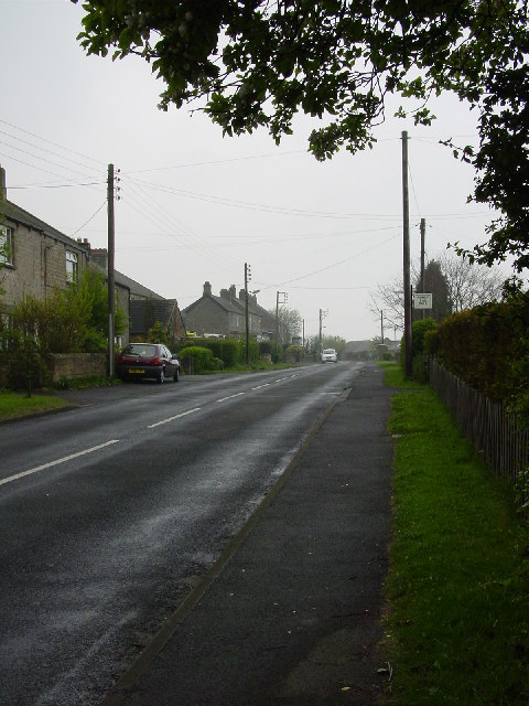
Apperley Dene
Apperley Dene is a hamlet in Stocksfield parish, Northumberland, England. It is situated south of the River Tyne between Hexham and Newcastle upon Tyne...

Hedley on the Hill
Hedley on the Hill is a village in Northumberland, west of Newcastle upon Tyne. It is located between the valley of the River Derwent, and the watershed...

New Ridley
New Ridley is a hamlet in the county of Northumberland, England. It is in the parish of Stocksfield and the parliamentary constituency of Hexham. It is...

Hindley, Northumberland
Hindley is a small hamlet, comprising around 20 residences. It is in the parish of Stocksfield and is just to the south of Stocksfield in Northumberland...

Painshawfield Estate
The Painshawfield, Batt House and Birches Nook Estate is a housing estate in the village of Stocksfield in Northumberland, England. It is commonly known...

Mickley, Northumberland
Mickley is a cluster of small settlements and former civil parish, now in the parish of Prudhoe, in the Tyne Valley, between Prudhoe and Stocksfield in...

Newlands, Northumberland
Newlands is a hamlet and former civil parish, now in the parish of Shotley Low Quarter, in the county of Northumberland, England. It is north of Ebchester...

Branch End
Branch End is part of the village of Stocksfield in Northumberland, England. It is situated at the junction of the A695 Main Road with New Ridley Road...
Nearby Amenities
Located within 500m of 54.916834,-1.892657Have you been to Apperleybankfoot Wood?
Leave your review of Apperleybankfoot Wood below (or comments, questions and feedback).