Backstone Bank Wood

Wood, Forest in Durham

England

Backstone Bank Wood

Old track to Backstone Bank Waskerley Reservoir can just be glimpsed to the left of the trees.
Old track to Backstone Bank Credit: Andrew Curtis

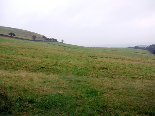
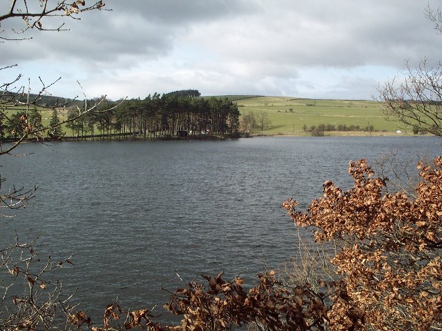
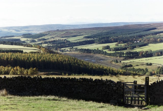
Backstone Bank Wood, located in Durham, is a picturesque woodland area that spans over several acres. This enchanting forest is renowned for its natural beauty and diverse range of flora and fauna. The wood is situated near the village of Backstone Bank, surrounded by rolling hills and countryside, providing visitors with a peaceful and tranquil escape from the bustling city.

The wood boasts a varied landscape with dense clusters of trees, open meadows, and babbling streams. It is predominantly composed of native British tree species, such as oak, beech, and birch, which create a stunning canopy overhead. The woodland floor is carpeted with a rich tapestry of wildflowers, including bluebells, primroses, and wood anemones, adding to its aesthetic appeal.

Backstone Bank Wood is a haven for wildlife enthusiasts, as it is home to a diverse range of animals. Visitors may spot red squirrels, badgers, and deer roaming freely amidst the foliage. The wood is also a paradise for birdwatchers, with an abundance of bird species, including woodpeckers, owls, and various small songbirds.

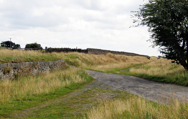
The woodland offers a network of well-maintained footpaths, allowing visitors to explore its beauty at their leisure. It is a popular spot for walking, jogging, and nature photography. The serene atmosphere and stunning vistas make it an ideal location for picnics or simply unwinding in nature's embrace.

Backstone Bank Wood truly captures the essence of the Durham countryside, offering a captivating blend of tranquility, natural splendor, and wildlife. Whether one seeks solace in the great outdoors or wishes to immerse themselves in the wonders of nature, this woodland provides an idyllic retreat for all to enjoy.

If you have any feedback on the listing, please let us know in the comments section below.

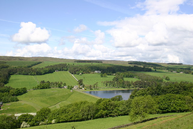
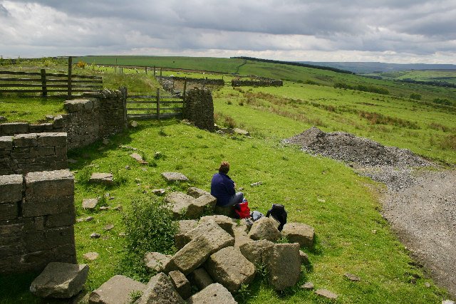
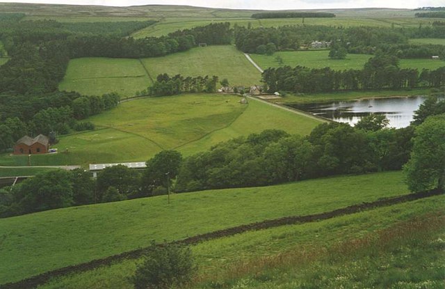
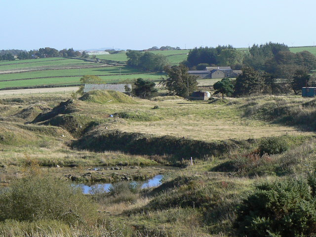
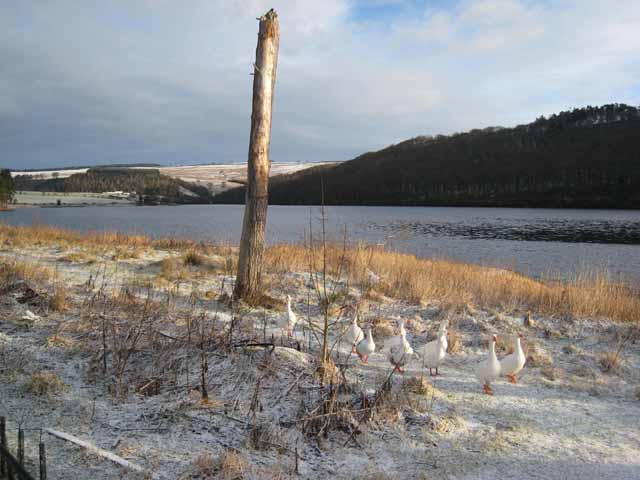
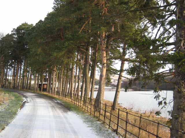
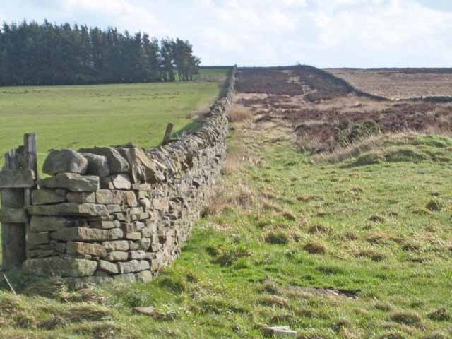
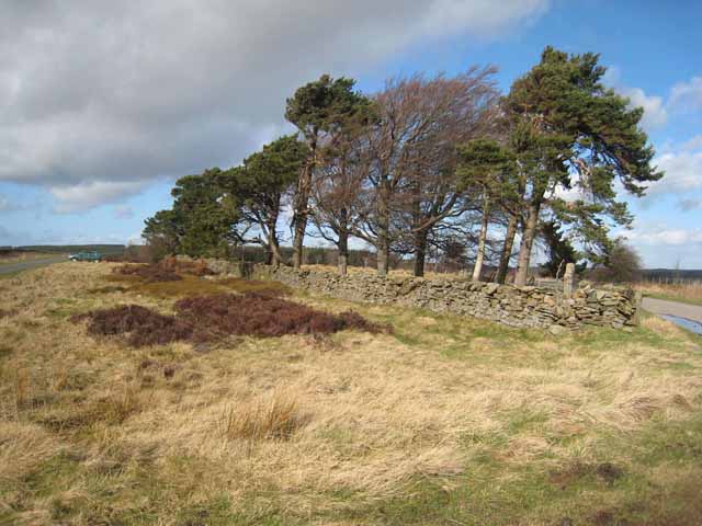
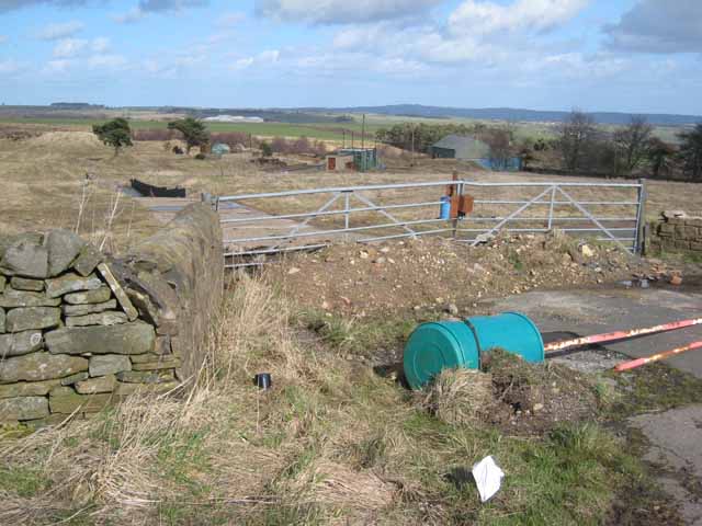
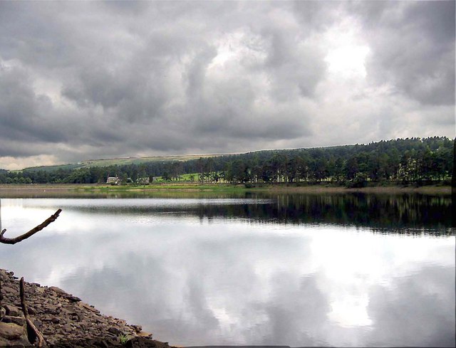
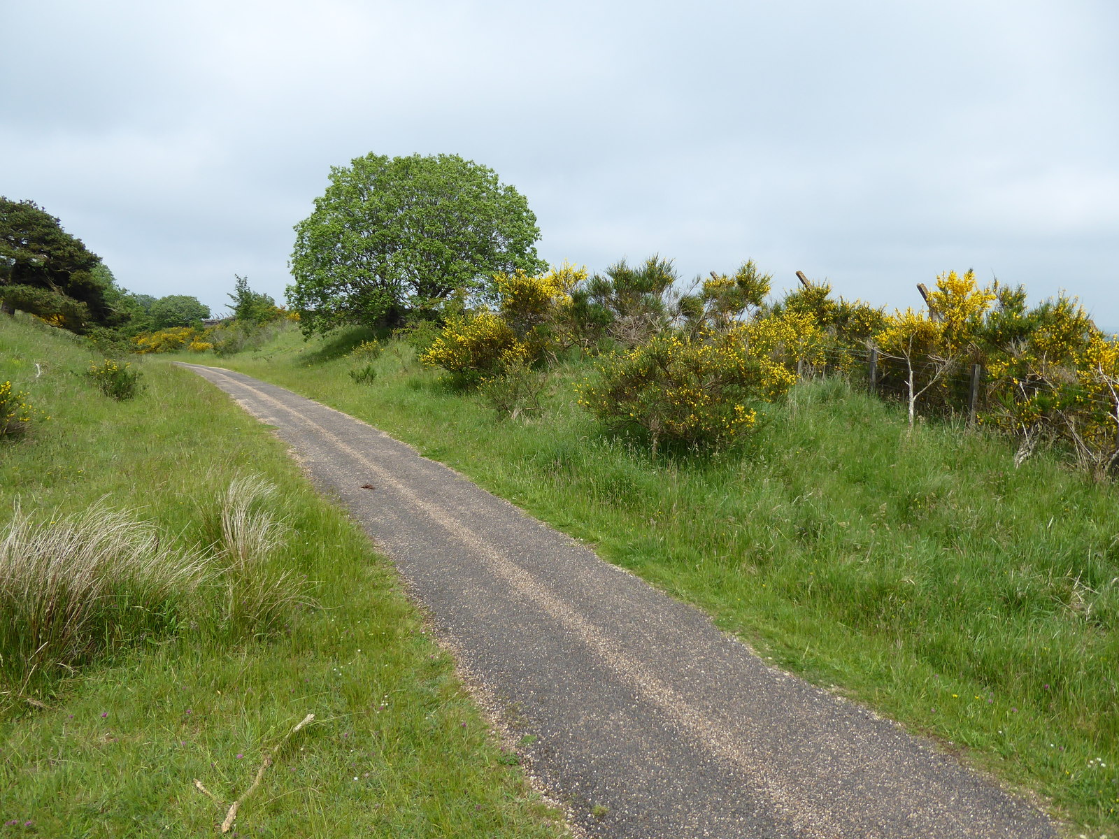
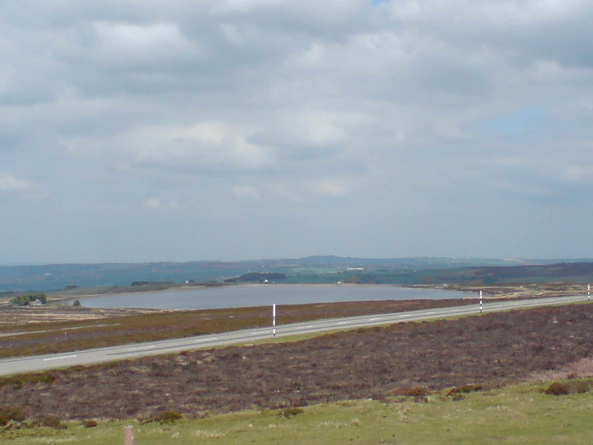
Backstone Bank Wood Images

Images are sourced within 2km of 54.769539/-1.8931862 or Grid Reference NZ0641. Thanks to Geograph Open Source API. All images are credited.

Old track to Backstone Bank Waskerley Reservoir can just be glimpsed to the left of the trees.
Old track to Backstone Bank
Waskerley Reservoir can just be glimpsed to the left of the trees.
Footpath south of Spring Gill Wolsingham North Moor rises on the left.
Footpath south of Spring Gill
Wolsingham North Moor rises on the left.
View of Low Jofless Looking down the farm track from the road up to Tunstall Reservoir.
View of Low Jofless
Looking down the farm track from the road up to Tunstall Reservoir.
Low Jofless
Low Jofless
Tunstall Reservoir
Tunstall Reservoir
Tunstall Reservoir On the path from Salters Gate to Tunstall Reservoir. The reservoir was almost empty at the time.
Tunstall Reservoir
On the path from Salters Gate to Tunstall Reservoir. The reservoir was almost empty at the time.
Near Salters Gate The wall supported the platform edge on the railway which ran between Consett and Tow Law. Beyond the gate leads to Salter's Gate.
Near Salters Gate
The wall supported the platform edge on the railway which ran between Consett and Tow Law. Beyond the gate leads to Salter's Gate.
Tunstall Reservoir, - the Dam Seen from the Wolsingham to Tunstall footpath that runs up the East side of the Waskerley Beck.
Tunstall Reservoir, - the Dam
Seen from the Wolsingham to Tunstall footpath that runs up the East side of the Waskerley Beck.
Disused Rail Depot on Wolsingham North Moor Above the Tunstall Reservoir at its North end, the farm track ascends to this abandoned rail depot. This was once part of an extensive rail network up on the moors that was used for transporting mineral ores.
Disused Rail Depot on Wolsingham North Moor
Above the Tunstall Reservoir at its North end, the farm track ascends to this abandoned rail depot. This was once part of an extensive rail network up on the moors that was used for transporting mineral ores.
Tunstall Reservoir
Tunstall Reservoir
Old quarry The remains of the now disused Quickburn Quarry.
Old quarry
The remains of the now disused Quickburn Quarry.
High Jofless Farm
High Jofless Farm
Geese by Tunstall Reservoir
Tunstall Reservoir Just south of the car park and picnic site.
Tunstall Reservoir
Just south of the car park and picnic site.
Parallel walls,  Saltersgate Lane Saltersgate Lane, of which this is the southernmost extension, is a 1.5 km straight road between widely spaced walls which isn't going anywhere obviously useful. It is probable that it served way back in time as both a drovers road and as a salt road. There are many relics of the Burnhill Junction Munitions Dump (closed 1969) nearby.
Parallel walls, Saltersgate Lane
Saltersgate Lane, of which this is the southernmost extension, is a 1.5 km straight road between widely spaced walls which isn't going anywhere obviously useful. It is probable that it served way back in time as both a drovers road and as a salt road. There are many relics of the Burnhill Junction Munitions Dump (closed 1969) nearby.
Salter's Gate Road junction high on the windswept moors above the Tunstall Reservoir. Saltersgate Lane <a href="https://www.geograph.org.uk/photo/357610">NZ0742 : Parallel walls,  Saltersgate Lane</a> lies to the left.
Salter's Gate
Road junction high on the windswept moors above the Tunstall Reservoir. Saltersgate Lane NZ0742 : Parallel walls, Saltersgate Lane lies to the left.
A spot of rural dereliction Access to the disused Quickburn Quarry.
A spot of rural dereliction
Access to the disused Quickburn Quarry.
Tunstall Reservoir looking towards the dam
Show me another place!

Backstone Bank Wood is located at Grid Ref: NZ0641 (Lat: 54.769539, Lng: -1.8931862)

Unitary Authority: County Durham

Police Authority: Durham

What 3 Words

///debater.breezy.escapades. Near Wolsingham, Co. Durham

Related Wikis

Backstone Bank and Baal Hill Woods

Backstone Bank and Baal Hill Woods is a Site of Special Scientific Interest in the County Durham district of Durham, England. It occupies the steep eastern...

Burnhill railway station

Burnhill railway station served the village of Waskerley, County Durham, England, from 1859 to 1939 on the Stanhope and Tyne Railway. == History == The...

High Stoop

High Stoop is a village in County Durham, England. It is situated a short distance to the north-west of Tow Law, on the A68. == References ==

Waskerley

Waskerley is a village in County Durham, England. It is situated six miles to the southwest of Consett and three miles southwest of Castleside and the...

Nearby Amenities

Located within 500m of 54.769539,-1.8931862
Tunstall House Farm
Place: farm
Source Name: OS OpenData StreetView
Lat/Long: 54.7718509/-1.8967724
Barrier: stile
Foot: yes
Material: wood
Stile: stepover
Lat/Long: 54.7679597/-1.8996374
Bench
Backrest: yes
Material: wood
Seats: 2
Lat/Long: 54.7679462/-1.9001489
Bench
Backrest: yes
Material: wood
Seats: 2
Lat/Long: 54.7679907/-1.8994812
Bench
Backrest: yes
Material: wood
Seats: 2
Lat/Long: 54.7685713/-1.8984328
The data included in this document is from www.openstreetmap.org. The data is made available under ODbL.

Have you been to Backstone Bank Wood?

Leave your review of Backstone Bank Wood below (or comments, questions and feedback).