Bath Wood
Wood, Forest in Staffordshire Staffordshire Moorlands
England
Bath Wood
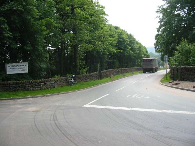
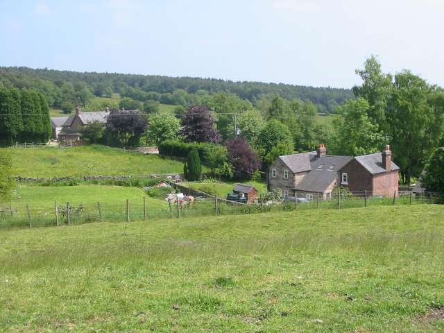
Bath Wood is a charming woodland located in Staffordshire, England. Situated on the outskirts of the village of Bath, the wood covers an area of approximately 40 hectares. It is a popular destination for nature lovers, hikers, and birdwatchers alike.
The woodland is predominantly made up of deciduous trees such as oak, beech, and birch, which create a vibrant and ever-changing landscape throughout the seasons. The forest floor is adorned with an array of wildflowers, ferns, and mosses, adding to the woodland's natural beauty.
Bath Wood is also home to a diverse range of wildlife. Visitors may spot various bird species, including woodpeckers, owls, and thrushes. The wood is also inhabited by small mammals like squirrels, rabbits, and voles. Nature enthusiasts may even be lucky enough to catch a glimpse of the elusive deer that occasionally roam the area.
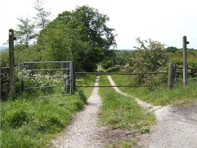
There are several walking trails that crisscross through the wood, allowing visitors to explore its picturesque surroundings. The paths vary in difficulty, catering to all levels of fitness. Interpretive signs along the trails provide information about the different tree species and wildlife that can be found within the wood.
Bath Wood offers a tranquil escape from the hustle and bustle of everyday life. It provides a peaceful setting for picnics, photography, or simply enjoying the beauty of nature. Whether you are a nature lover or simply seeking a peaceful retreat, Bath Wood is a must-visit destination in Staffordshire.
If you have any feedback on the listing, please let us know in the comments section below.
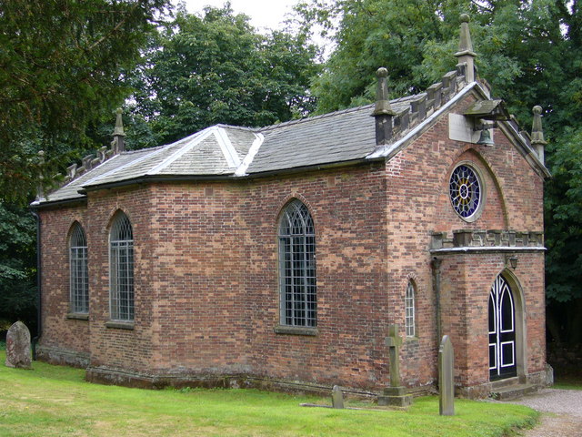
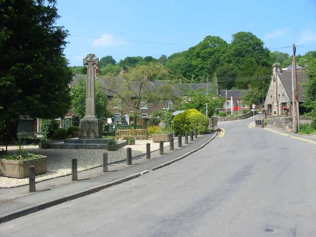
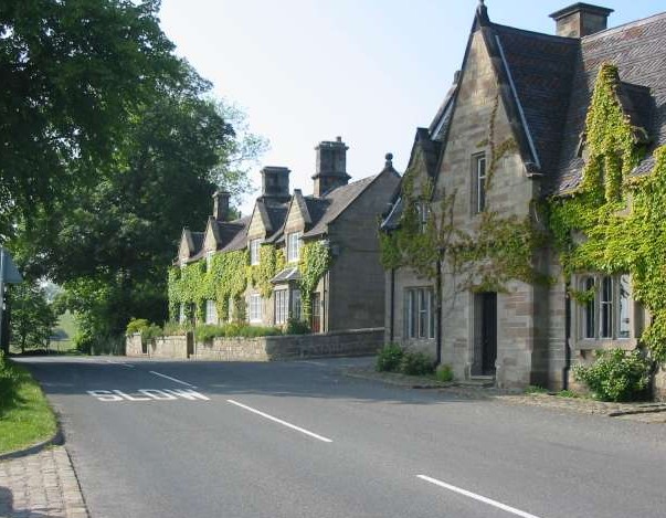
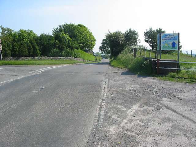
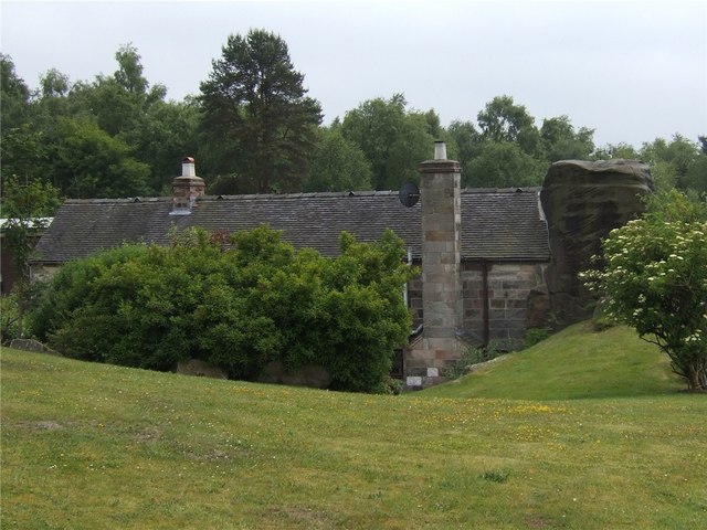
Bath Wood Images
Images are sourced within 2km of 53.009967/-1.9059456 or Grid Reference SK0645. Thanks to Geograph Open Source API. All images are credited.


Bath Wood is located at Grid Ref: SK0645 (Lat: 53.009967, Lng: -1.9059456)
Administrative County: Staffordshire
District: Staffordshire Moorlands
Police Authority: Staffordshire
What 3 Words
///podcast.covenants.surfed. Near Cheadle, Staffordshire
Related Wikis

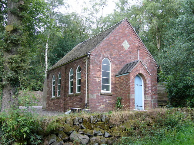
Cotton Dell
Cotton Dell is a nature reserve of the Staffordshire Wildlife Trust. It is a wooded valley area near the village of Cotton and about 0.5 miles (0.8 km...

Cotton, Staffordshire
Cotton is a village and civil parish in Staffordshire, England. It is about 5 miles (8.0 km) north-east of Cheadle. Cotton Hall, originally built in the...

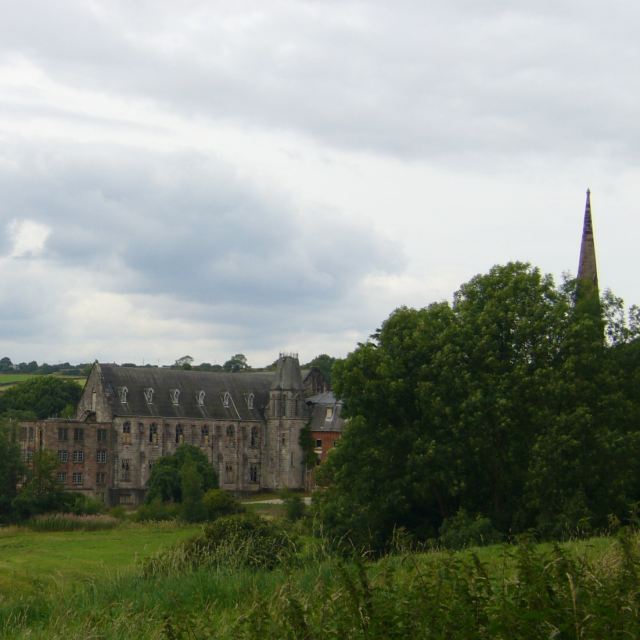
Cotton College
Cotton College was a Roman Catholic boarding school in Cotton, Staffordshire, United Kingdom. It was also known as Saint Wilfrid's College. The school...

Oakamoor
Oakamoor is a small village in north Staffordshire, England. Although it is now a rural area, it has an industrial past which drew on the natural resources...

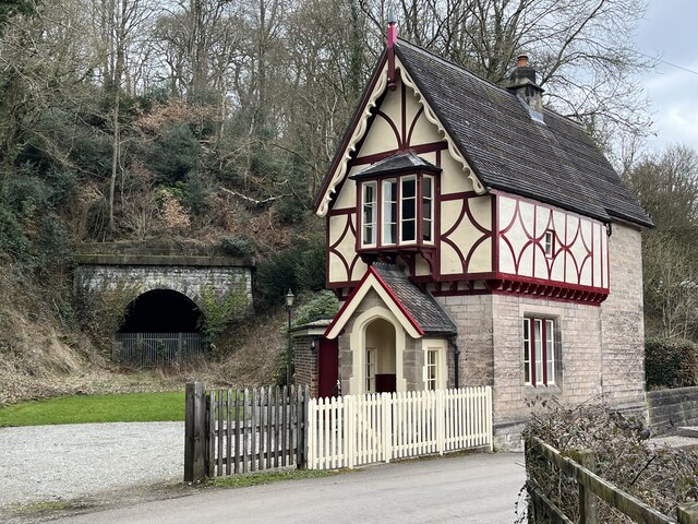
Oakamoor Tunnel
Oakamoor Tunnel is a disused 497-yard (454 m) long tunnel located north of Oakamoor railway station on the former Uttoxeter to North Rode section of the...

Oakamoor railway station
Oakamoor railway station is a closed railway station in the Churnet Valley, Staffordshire. The station was opened in 1849 as part of the Churnet Valley...
Ramshorn
The tiny hamlet of Ramsor (Methodist spelling) in North Staffordshire played a significant part in the origins of Primitive Methodism. Listed in the Domesday...
Broomyshaw
Broomyshaw is a village in Staffordshire, England. Population details for the 2011 census can be found under Waterhouses, Staffordshire
Nearby Amenities
Located within 500m of 53.009967,-1.9059456Have you been to Bath Wood?
Leave your review of Bath Wood below (or comments, questions and feedback).