Star Wood

Wood, Forest in Staffordshire Staffordshire Moorlands

England

Star Wood

Closed railway tunnel and former crossing keeper's cottage On the former Churnet Valley line in North Staffordshire.
Closed railway tunnel and former crossing keeper's cottage Credit: John H Darch

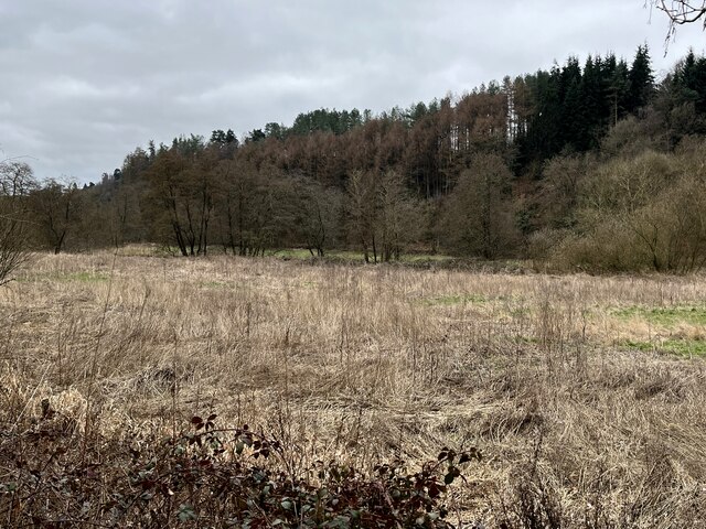
Star Wood is a picturesque forest located in Staffordshire, England. Spanning over an area of approximately 500 acres, it is known for its abundant natural beauty and diverse wildlife. The wood is situated in close proximity to the charming village of Star, hence its name.

The forest is predominantly composed of deciduous trees, including oak, beech, and birch, which create a stunning canopy of foliage throughout the year. This rich vegetation provides a habitat for various species of birds, mammals, and insects. Birdwatchers can spot a plethora of avian species, such as woodpeckers, nuthatches, and thrushes, making it a popular destination for bird enthusiasts.

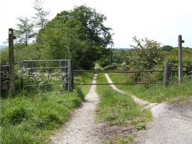
Several walking trails wind their way through the wood, offering visitors the opportunity to explore its enchanting surroundings. These trails range in difficulty, providing options for both casual strollers and more adventurous hikers. Along the routes, one can observe the diverse flora and fauna while enjoying the peaceful ambiance of the wood.

Star Wood also holds historical significance, with remnants of ancient settlements and burial mounds dating back to the Bronze Age. Archaeological enthusiasts can explore these fascinating sites, gaining insight into the area's rich cultural heritage.

The wood is managed by the local authorities, ensuring its preservation and maintenance. It is open to the public throughout the year, offering a tranquil escape from the bustling city life. Star Wood truly encapsulates the natural beauty of Staffordshire and provides a haven for nature lovers and history enthusiasts alike.

If you have any feedback on the listing, please let us know in the comments section below.
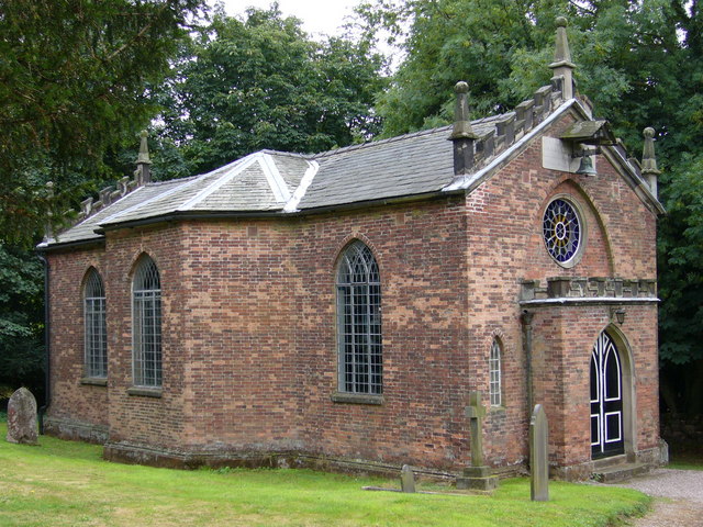
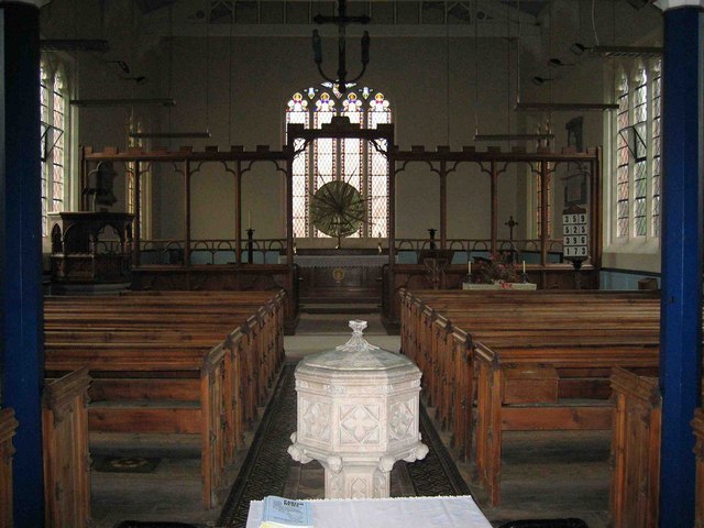
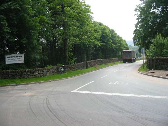
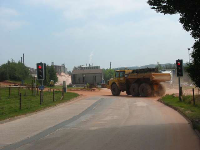
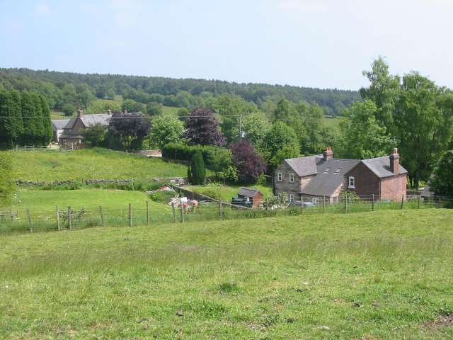
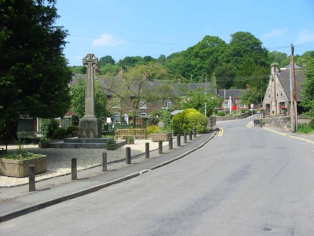
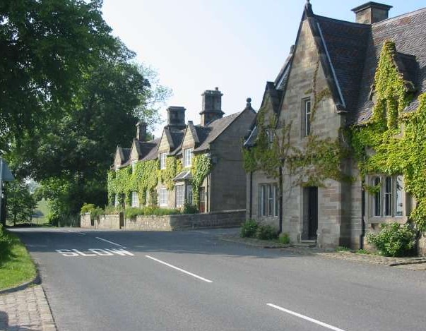
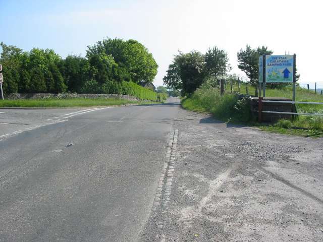
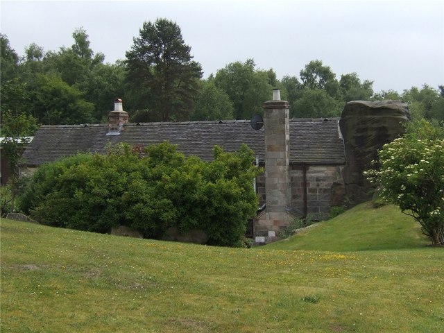
Star Wood Images

Images are sourced within 2km of 53.006924/-1.9113917 or Grid Reference SK0645. Thanks to Geograph Open Source API. All images are credited.

Closed railway tunnel and former crossing keeper's cottage On the former Churnet Valley line in North Staffordshire.
Closed railway tunnel and former crossing keeper's cottage
On the former Churnet Valley line in North Staffordshire.
Churnet Valley flood plain
Ye Olde Star Inn a 16th century inn in Star Bank, Cotton, Staffordshire
Ye Olde Star Inn
a 16th century inn in Star Bank, Cotton, Staffordshire
Cotton College Cotton Lane, Cotton, Staffordshire. This Roman Catholic boarding school <span class="nowrap"><a title="http://www.cottoncollege.co.uk/" rel="nofollow ugc noopener" href="http://www.cottoncollege.co.uk/">Link</a><img style="margin-left:2px;" alt="External link" title="External link - shift click to open in new window" src="https://s1.geograph.org.uk/img/external.png" width="10" height="10"/></span> closed in 1987. The buildings are derelict. The spire on the right is St Wilfred's Roman Catholic Church which is still in use.
Cotton College
Cotton Lane, Cotton, Staffordshire. This Roman Catholic boarding school LinkExternal link closed in 1987. The buildings are derelict. The spire on the right is St Wilfred's Roman Catholic Church which is still in use.
Church of St John the Baptist Cotton Lane, Cotton, Staffordshire. <span class="nowrap"><a title="http://www.genuki.org.uk/big/eng/STS/Cotton/index.html" rel="nofollow ugc noopener" href="http://www.genuki.org.uk/big/eng/STS/Cotton/index.html">Link</a><img style="margin-left:2px;" alt="External link" title="External link - shift click to open in new window" src="https://s1.geograph.org.uk/img/external.png" width="10" height="10"/></span> This charming little church built in 1795 is tucked into a corner and virtually surrounded by St Wilfred's Roman Catholic Church and <a href="https://www.geograph.org.uk/photo/224492">SK0646 : Cotton College</a>.
Church of St John the Baptist
Cotton Lane, Cotton, Staffordshire. LinkExternal link This charming little church built in 1795 is tucked into a corner and virtually surrounded by St Wilfred's Roman Catholic Church and SK0646 : Cotton College.
Interior of Oakamoor Church
Geocache stash and landscape This is a picture taken after finding a geocache, a new and fantastic hobby discovered after submitting pictures to this site. The picture shows the field and side of forest shown on the map. The tupperware box is what we found buried about 100 yards away. Get out there and get geo - "graphing" and "caching"!
Geocache stash and landscape
This is a picture taken after finding a geocache, a new and fantastic hobby discovered after submitting pictures to this site. The picture shows the field and side of forest shown on the map. The tupperware box is what we found buried about 100 yards away. Get out there and get geo - "graphing" and "caching"!
Edgewells Farm
Edgewells Farm
Green Lane Green Lane runs down from the main road near Edgewells Farm to Ramshorn Road
Green Lane
Green Lane runs down from the main road near Edgewells Farm to Ramshorn Road
Moneystone Quarry Moneystone quarry is in the process of being extended and is very busy with trucks coming and going every few seconds.
Moneystone Quarry
Moneystone quarry is in the process of being extended and is very busy with trucks coming and going every few seconds.
Moneystone Quarry Moneystone sandstone quarry is extremely busy and traffic lights control trucks and quarry vehicles crossing this access road.  All of the stone is taken out by road, and lorries thunder in and out every few seconds.  The map shows a link to the railway line in the valley below, which is now the Churnet Valley preserved railway.  This is no longer used to transport quarry goods but it would seem to be a much better way of shifting large loads of stone around.
Moneystone Quarry
Moneystone sandstone quarry is extremely busy and traffic lights control trucks and quarry vehicles crossing this access road. All of the stone is taken out by road, and lorries thunder in and out every few seconds. The map shows a link to the railway line in the valley below, which is now the Churnet Valley preserved railway. This is no longer used to transport quarry goods but it would seem to be a much better way of shifting large loads of stone around.
Moneystone Moneystone is a quiet hamlet high up on the moors near Oakamoor.  This view looks idyllic and it is hard to believe that just a short way down the road is a massive and very busy sandstone quarry with streams of trucks thundering along the little lanes.
Moneystone
Moneystone is a quiet hamlet high up on the moors near Oakamoor. This view looks idyllic and it is hard to believe that just a short way down the road is a massive and very busy sandstone quarry with streams of trucks thundering along the little lanes.
Oakamoor Church Oakamoor Holy Trinity church is built on a very steep slope to the southwest of the village.  It dates from 1832.
Oakamoor Church
Oakamoor Holy Trinity church is built on a very steep slope to the southwest of the village. It dates from 1832.
Oakamoor Village Centre Oakamoor lies in a steep wooded valley in the Staffordshire moorlands.  At one time it was served by both a canal and a railway.  The canal has long since gone but the railway track bed still exists.  To the south the track is now a pleasant multi-user trail to Alton.  To the northwest it connects to the Churnet Valley preserved railway with the prospect that one day the line might be extended once more into Oakamoor.
Oakamoor Village Centre
Oakamoor lies in a steep wooded valley in the Staffordshire moorlands. At one time it was served by both a canal and a railway. The canal has long since gone but the railway track bed still exists. To the south the track is now a pleasant multi-user trail to Alton. To the northwest it connects to the Churnet Valley preserved railway with the prospect that one day the line might be extended once more into Oakamoor.
Cottages at Farley These cottages at Farley appear to enjoy a quiet and idyllic location next to Farley Hall in the Staffordshire countryside.  However, just a few yards down the road is the Alton Towers theme park with its associated noise and traffic.
Cottages at Farley
These cottages at Farley appear to enjoy a quiet and idyllic location next to Farley Hall in the Staffordshire countryside. However, just a few yards down the road is the Alton Towers theme park with its associated noise and traffic.
Crossroads at Threelows This crossroads at Threelows sees a lot of traffic heading to and from the theme park at Alton Towers a few miles down the road.  The sign is for The Star camping and caravan site at Cotton.
Crossroads at Threelows
This crossroads at Threelows sees a lot of traffic heading to and from the theme park at Alton Towers a few miles down the road. The sign is for The Star camping and caravan site at Cotton.
Rock Cottage
Rock Cottage
Side Farm
Side Farm
Show me another place!

Star Wood is located at Grid Ref: SK0645 (Lat: 53.006924, Lng: -1.9113917)

Administrative County: Staffordshire

District: Staffordshire Moorlands

Police Authority: Staffordshire

What 3 Words

///potential.film.claw. Near Cheadle, Staffordshire

Nearby Locations

Cotton Star Wood Bath Wood

Related Wikis

Cotton Dell

Cotton Dell is a nature reserve of the Staffordshire Wildlife Trust. It is a wooded valley area near the village of Cotton and about 0.5 miles (0.8 km...

Oakamoor

Oakamoor is a small village in north Staffordshire, England. Although it is now a rural area, it has an industrial past which drew on the natural resources...

Cotton, Staffordshire

Cotton is a village and civil parish in Staffordshire, England. It is about 5 miles (8.0 km) north-east of Cheadle. Cotton Hall, originally built in the...
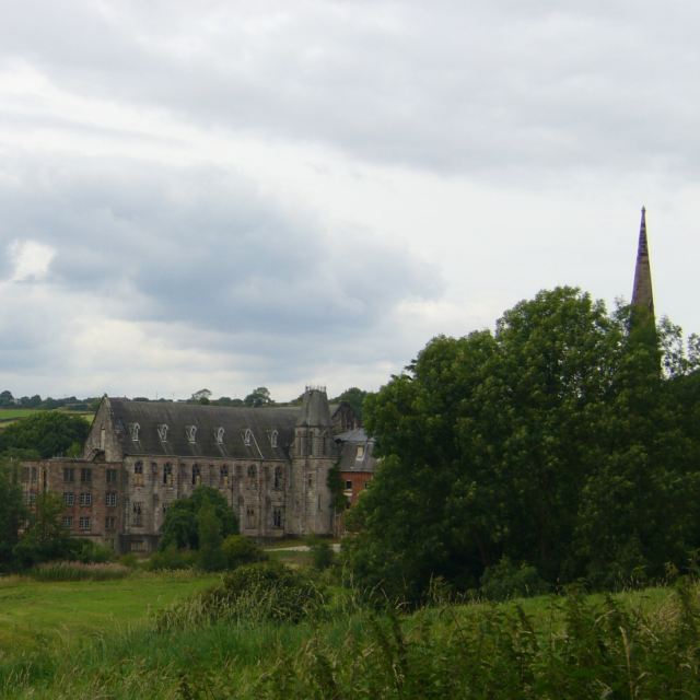
Cotton College

Cotton College was a Roman Catholic boarding school in Cotton, Staffordshire, United Kingdom. It was also known as Saint Wilfrid's College. The school...
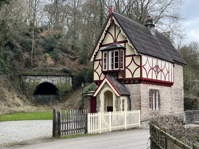
Oakamoor Tunnel

Oakamoor Tunnel is a disused 497-yard (454 m) long tunnel located north of Oakamoor railway station on the former Uttoxeter to North Rode section of the...

Oakamoor railway station

Oakamoor railway station is a closed railway station in the Churnet Valley, Staffordshire. The station was opened in 1849 as part of the Churnet Valley...

Submission (Alton Towers)

Submission was a theme park ride at Alton Towers in Staffordshire, England from 2001 until 2013. It was a Chance Rides double swinging inverter. ��2...

Ripsaw (Alton Towers)

Ripsaw was a Top Spin ride at Alton Towers theme park in Staffordshire, England. It opened in 1997 and closed at the end of 2015. == History == The ride...

Nearby Amenities

Located within 500m of 53.006924,-1.9113917
Addr Housenumber: Bath Cottage
Lat/Long: 53.0086176/-1.9070445
Addr Housenumber: Orchard Farm
Lat/Long: 53.0067196/-1.9180094
Addr Housename: Star Green Farm
Lat/Long: 53.0052195/-1.9053788
Addr Housename: Old Star Farm
Lat/Long: 53.0056867/-1.9047914
Barrier: stile
Source: survey
Lat/Long: 53.0083098/-1.9109029
Barrier: stile
Source: survey
Lat/Long: 53.0084078/-1.9118955
Bus Stop
Source: survey
Lat/Long: 53.0073523/-1.9041159
Post Box
Operator: Royal Mail
Post Box Type: lamp
Royal Cypher: EIIR
Royal Cypher Wikidata: Q33102113
Lat/Long: 53.0078595/-1.9044004
Barrier: stile
Material: wood
Source: survey
Stile: stepover
Lat/Long: 53.0031092/-1.9140158
Bench
Backrest: no
Lat/Long: 53.006806/-1.9125908
Barrier: kissing_gate
Lat/Long: 53.0089358/-1.9067352
Barrier: stile
Material: wood
Stile: stepover
Lat/Long: 53.0039342/-1.9095947
Barrier: stile
Material: wood
Stile: ladder
Lat/Long: 53.0034871/-1.9114723
Barrier: stile
Material: wood
Stile: stepover
Lat/Long: 53.0033963/-1.9122923
Barrier: stile
Material: wood
Stile: stepover
Lat/Long: 53.0034063/-1.9120778
Barrier: stile
Stile: stepover
Lat/Long: 53.0087057/-1.9178957
Barrier: stile
Material: wood
Source: survey
Stile: stepover
Lat/Long: 53.0086309/-1.9172514
Barrier: stile
Material: stone
Source: survey;gps
Stile: stepover
Lat/Long: 53.008584/-1.9165432
Barrier: stile
Material: wood
Source: survey;gps
Stile: stepover
Lat/Long: 53.005432/-1.9057895
Barrier: stile
Material: wood
Source: survey;gps
Stile: stepover
Lat/Long: 53.0053263/-1.9062167
Barrier: stile
Material: wood
Source: survey;gps
Stile: stepover
Lat/Long: 53.0052797/-1.9064745
Barrier: stile
Material: wood
Source: survey;gps
Stile: stepover
Lat/Long: 53.0039436/-1.9095689
Bench
Backrest: yes
Lat/Long: 53.0079254/-1.9043791
The data included in this document is from www.openstreetmap.org. The data is made available under ODbL.

Have you been to Star Wood?

Leave your review of Star Wood below (or comments, questions and feedback).