Birneys Plantation
Wood, Forest in Northumberland
England
Birneys Plantation

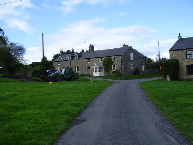
Birneys Plantation is a picturesque woodland located in Northumberland, England. Covering an area of approximately 200 acres, it is a haven for nature enthusiasts and offers a tranquil escape from the hustle and bustle of city life.
The plantation is predominantly composed of dense deciduous trees, creating a rich and diverse habitat for various wildlife species. Oak, beech, and birch trees dominate the landscape, their vibrant foliage providing a stunning display throughout the year. The forest floor is adorned with a carpet of ferns, wildflowers, and mosses, adding to the enchanting atmosphere.
Birneys Plantation is crisscrossed by a network of footpaths and trails, allowing visitors to explore the woodlands at their leisure. These paths wind through the trees, offering glimpses of hidden glades and meandering streams. The plantation is also home to a variety of wildlife, including deer, squirrels, and a wide range of bird species, making it a popular destination for birdwatching.
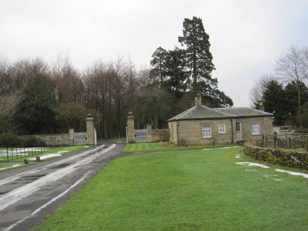
In addition to its natural beauty, Birneys Plantation also has historical significance. It is believed to have been part of the ancient hunting grounds used by the local nobility in centuries past. Remnants of old stone walls and a small derelict building can still be found within the woodland, serving as reminders of its past.
Whether visitors come to admire the vibrant colors of autumn, take a leisurely stroll through the woodland, or simply immerse themselves in the peaceful ambiance, Birneys Plantation offers a truly idyllic experience for nature lovers and history enthusiasts alike.
If you have any feedback on the listing, please let us know in the comments section below.
Birneys Plantation Images
Images are sourced within 2km of 55.081366/-1.9085711 or Grid Reference NZ0576. Thanks to Geograph Open Source API. All images are credited.


Birneys Plantation is located at Grid Ref: NZ0576 (Lat: 55.081366, Lng: -1.9085711)
Unitary Authority: Northumberland
Police Authority: Northumbria
What 3 Words
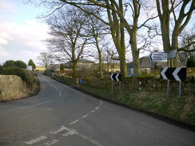
///emulating.vaccines.smelter. Near Meldon, Northumberland
Nearby Locations
Related Wikis
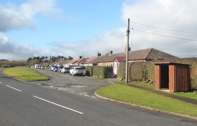
Black Heddon
Black Heddon is a village and former civil parish, now in the parish of Belsay, in the county of Northumberland, England. It is situated to the north-west...
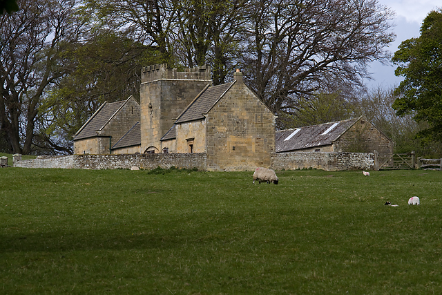
Bitchfield Tower
Bitchfield Tower or West Bitchfield Tower is a 15th-century medieval pele tower near Belsay, Northumberland, England. It is a Grade I listed building.The...

Belsay Castle
Belsay Castle is a 14th-century medieval castle situated at Belsay, Northumberland, England. It is a Scheduled Monument and a Grade I listed building.The...

Fenwick Tower, Northumberland
Fenwick Tower was a 12th-century tower house at Fenwick, Matfen, Northumberland, England. The house was the home of the Fenwick family from the 12th century...
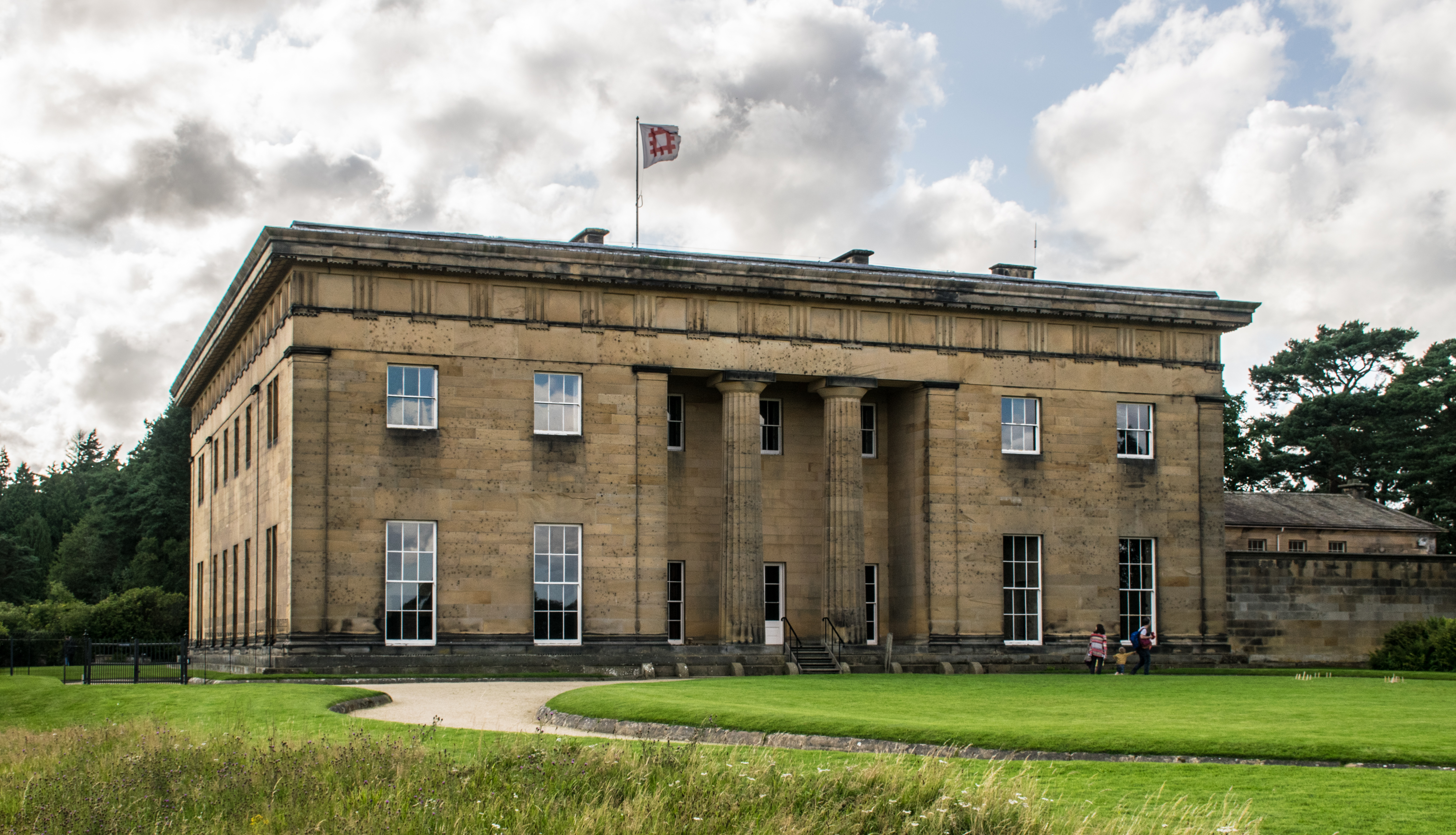
Belsay Hall
Belsay Hall is a Regency style country house located at Belsay, Northumberland. It is regarded as the first British country house to be built entirely...
Kirkheaton, Northumberland
Kirkheaton (English: ) is a village and former civil parish, now in the parish of Capheaton, in the county of Northumberland, England. The village lies...
Capheaton Hall
Capheaton Hall, near Wallington, Northumberland, is an English country house, the seat of the Swinburne Baronets and a childhood home of the poet Algernon...

Capheaton
Capheaton is a village and civil parish in Northumberland, England, about 25 miles (40 km) to the northwest of Newcastle upon Tyne. The population at the...
Nearby Amenities
Located within 500m of 55.081366,-1.9085711Have you been to Birneys Plantation?
Leave your review of Birneys Plantation below (or comments, questions and feedback).