Beeldreins Plantation
Wood, Forest in Yorkshire Richmondshire
England
Beeldreins Plantation
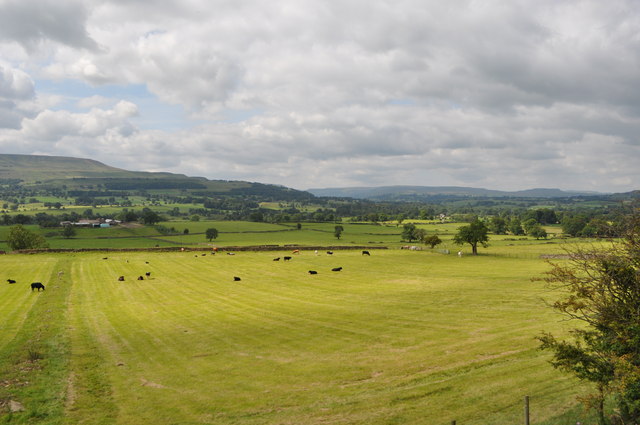
Beeldreins Plantation is a picturesque woodland area situated in the county of Yorkshire, England. Nestled within the beautiful landscape of the Yorkshire Dales, this plantation boasts an enchanting forest filled with a diverse range of trees and wildlife.
The woodland, predominantly composed of oak and beech trees, covers an extensive area of approximately 500 acres. The trees provide a lush green canopy, creating a tranquil and serene atmosphere for visitors to enjoy. The plantation is often referred to as a hidden gem, as it remains relatively untouched by human intervention.
As visitors venture through the woodland, they are greeted by a myriad of flora and fauna. Bluebells, wild garlic, and ferns carpet the forest floor, creating a vibrant display of colors during spring and summer months. The plantation is also home to a variety of bird species, including the elusive nightingale, which can often be heard singing its melodious tune.
Beeldreins Plantation offers several walking trails that allow visitors to explore the beauty of the woodland at their own pace. These trails range in difficulty, catering to both novice hikers and experienced trekkers. The paths wind through the dense forest, leading to breathtaking viewpoints and secluded picnic spots, ideal for those seeking solitude in nature.
Whether it's a leisurely stroll, a family day out, or a nature lover's retreat, Beeldreins Plantation offers an idyllic setting for all to enjoy. With its enchanting woodland and diverse wildlife, this Yorkshire gem is a must-visit destination for anyone seeking tranquility and natural beauty.
If you have any feedback on the listing, please let us know in the comments section below.
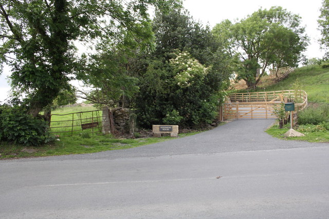
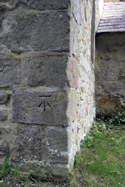
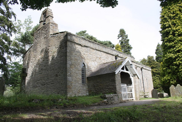
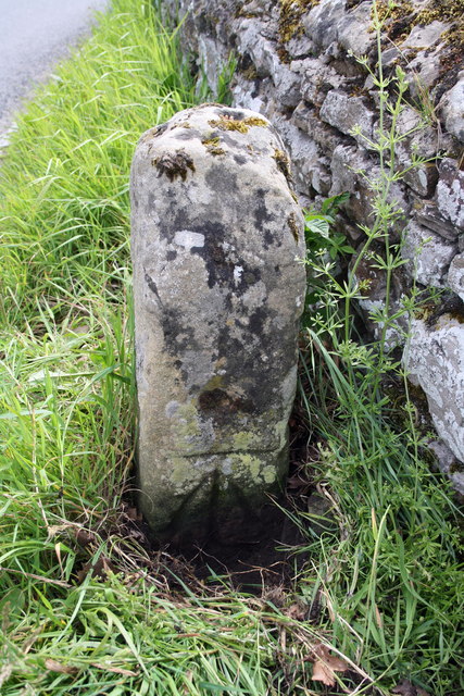
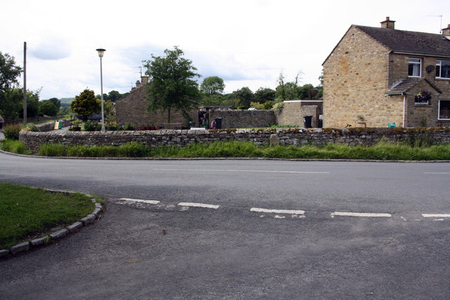
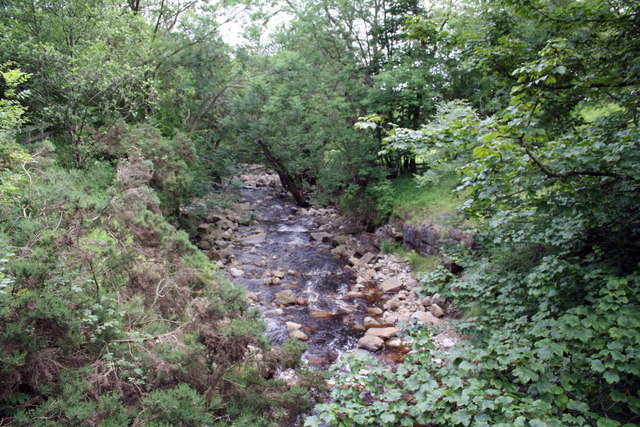
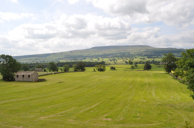
Beeldreins Plantation Images
Images are sourced within 2km of 54.305691/-1.915826 or Grid Reference SE0590. Thanks to Geograph Open Source API. All images are credited.


Beeldreins Plantation is located at Grid Ref: SE0590 (Lat: 54.305691, Lng: -1.915826)
Division: North Riding
Administrative County: North Yorkshire
District: Richmondshire
Police Authority: North Yorkshire
What 3 Words
///tumblers.included.remembers. Near Leyburn, North Yorkshire
Nearby Locations
Related Wikis

St Mary's Church, Redmire
St Mary's Church, Redmire is a Grade II* listed parish church in the Church of England: 289 in Redmire, North Yorkshire. == History == The church dates...

Swinithwaite
Swinithwaite is a hamlet in the Yorkshire Dales, North Yorkshire, England. It lies on the A684 road, 2 miles (3.2 km) miles east of Aysgarth.The hamlet...

Redmire
Redmire is a village and civil parish in North Yorkshire, England. It is about 4 miles (6.4 km) west of Leyburn in Wensleydale in the Yorkshire Dales....

St Bartholomew's Church, West Witton
St Bartholomew's Church, West Witton is a Grade II listed parish church in the Church of England: 387 in West Witton, North Yorkshire. == History == The...
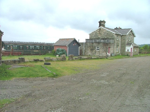
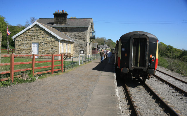
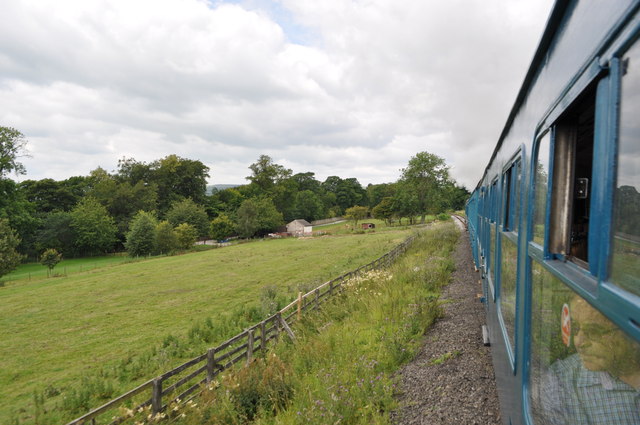
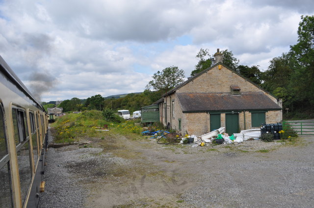
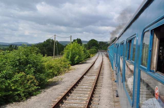
Redmire railway station
Redmire railway station is the current western terminus of the Wensleydale Railway and serves the village of Redmire in North Yorkshire, England. It is...
West Witton
West Witton is a village and civil parish in the Richmondshire district of North Yorkshire, England. Located in Wensleydale in the Yorkshire Dales it lies...
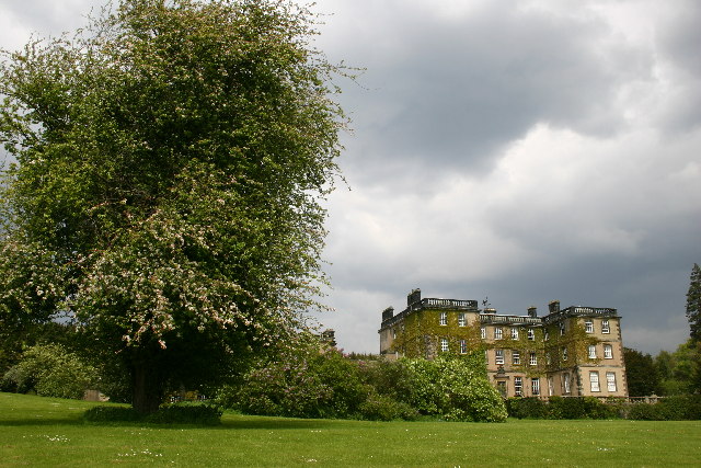
Bolton Hall, North Yorkshire
Bolton Hall is a country house near Preston-under-Scar, Richmondshire, North Yorkshire, England, in Wensleydale, some 3 miles (5 km) west of Leyburn. It...

Penhill Preceptory
Penhill Preceptory was a priory on the northern flanks of Penhill in Wensleydale, North Yorkshire, England, which functioned from about 1142 to 1308–12...
Nearby Amenities
Located within 500m of 54.305691,-1.915826Have you been to Beeldreins Plantation?
Leave your review of Beeldreins Plantation below (or comments, questions and feedback).