The Birches

Wood, Forest in Dorset

England

The Birches

Ford at Broom Hill This dry ford is the first of two fords at Broom Hill.
Ford at Broom Hill Credit: John Walton

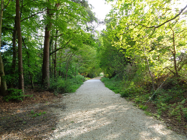
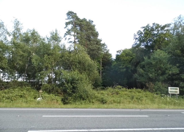
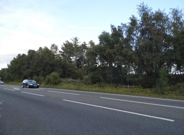
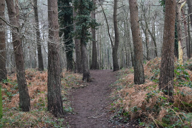
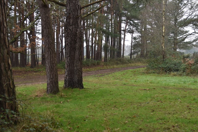
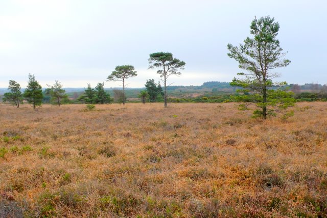
The Birches is a picturesque woodland area located in the charming county of Dorset, England. Spread across a sprawling expanse, this enchanting forest is a haven for nature lovers and outdoor enthusiasts alike. The Birches is known for its dense growth of birch trees, which lend the forest its name and distinctive character.

As one steps into The Birches, they are greeted by a serene and tranquil atmosphere. The soft rustling of leaves and the gentle chirping of birds create a soothing soundtrack, providing a respite from the hustle and bustle of everyday life. The forest floor is covered in a thick carpet of moss and fallen leaves, adding to the ethereal beauty of the surroundings.

The Birches boasts a diverse ecosystem, with a wide variety of flora and fauna calling it home. The forest is home to numerous species of birds, including woodpeckers, owls, and warblers, making it a paradise for birdwatchers. Squirrels scamper through the treetops, while rabbits and deer can often be spotted grazing on the forest floor.

The forest offers a range of recreational activities for visitors to enjoy. There are several well-maintained walking trails that wind through the woodland, allowing visitors to explore and immerse themselves in the natural beauty of The Birches. These trails offer stunning views of the surrounding countryside and provide an opportunity to observe the diverse wildlife that inhabits the area.

In conclusion, The Birches in Dorset is a magical woodland retreat, offering visitors a chance to reconnect with nature and experience the wonders of the natural world. With its serene ambiance, diverse wildlife, and scenic walking trails, The Birches is a must-visit destination for nature enthusiasts and anyone seeking a peaceful escape from the stresses of everyday life.

If you have any feedback on the listing, please let us know in the comments section below.
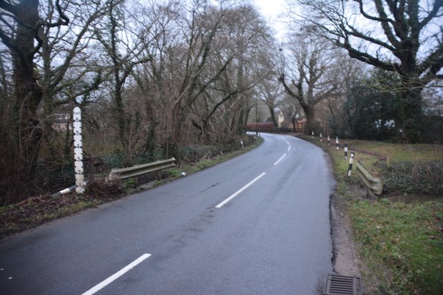
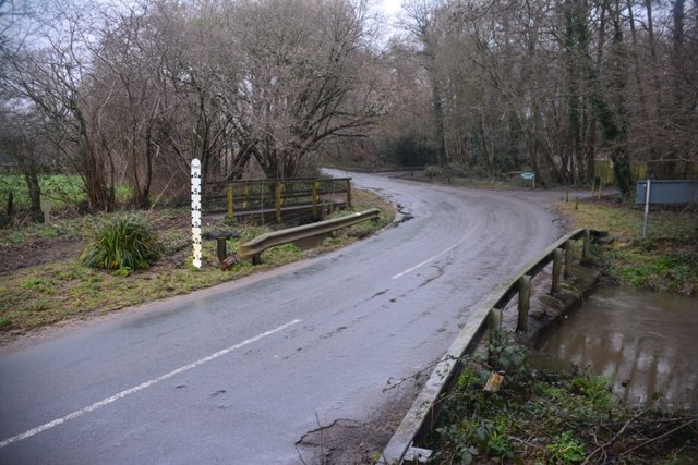
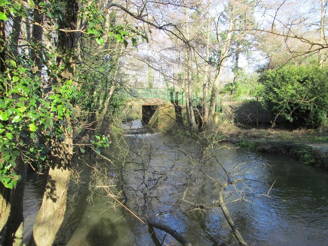
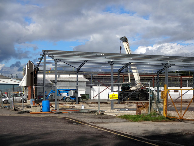
The Birches Images

Images are sourced within 2km of 50.819336/-1.9222693 or Grid Reference SU0502. Thanks to Geograph Open Source API. All images are credited.

Ford at Broom Hill This dry ford is the first of two fords at Broom Hill.
Ford at Broom Hill
This dry ford is the first of two fords at Broom Hill.
Ford at Broom Hill This is the second of the two Broom Hill fords.
Ford at Broom Hill
This is the second of the two Broom Hill fords.
Old railway bridge over Mannington Brook, West Moors This image, taken in February 2016, updates one I took in 2011. In that year, the bridge was heavily obscured by vegetation and rather neglected: the owners of the land (and the bridge) have now cleared the undergrowth - and coupled to a fine flow of water down the brook (flowing towards the viewer), and no leaves on the trees in the foreground, this makes quite a pleasing shot.
Old railway bridge over Mannington Brook, West Moors
This image, taken in February 2016, updates one I took in 2011. In that year, the bridge was heavily obscured by vegetation and rather neglected: the owners of the land (and the bridge) have now cleared the undergrowth - and coupled to a fine flow of water down the brook (flowing towards the viewer), and no leaves on the trees in the foreground, this makes quite a pleasing shot.
Ferndown Industrial Estate Rebuilding fire-damaged warehousing on the Ferndown Industrial Estate.
Ferndown Industrial Estate
Rebuilding fire-damaged warehousing on the Ferndown Industrial Estate.
From Railway to Trailway This trailway was once part of the double-track mainline running from London Waterloo to Weymouth. Bicycles are now the only wheeled vehicles you'll see along here nowadays.
From Railway to Trailway
This trailway was once part of the double-track mainline running from London Waterloo to Weymouth. Bicycles are now the only wheeled vehicles you'll see along here nowadays.
Cobham Road, Ferndown Industrial Estate A grey road, on a grey day.
Cobham Road, Ferndown Industrial Estate
A grey road, on a grey day.
Roundabout on the A31, Ferndown
Woods by the A31, Ferndown
The A31, Ferndown
The A31, Ferndown
Signs on the A31, Ferndown
Roundabout on the A31, Ferndown
The A31, Ameysford
The A31, Ameysford
Old Milepost by Wimborne Road, Wimborne Minster Cast iron post by the UC road, in parish of FERNDOWN TOWN (EAST DORSET District), Wimborne Road, East of bypass roundabout, by No. 210/212, by the road, on South side of road. Ringwood cast iron post (Trust), erected by the Ringwood, Longham & Leigh turnpike trust in the 19th century. 

Inscription reads:- : 2 / WIM- / BORNE : : RINGW'D / TRUST : : 7 / RING- / WOOD :

Milestone Society National ID: DO_WBRW02.
Old Milepost by Wimborne Road, Wimborne Minster
Cast iron post by the UC road, in parish of FERNDOWN TOWN (EAST DORSET District), Wimborne Road, East of bypass roundabout, by No. 210/212, by the road, on South side of road. Ringwood cast iron post (Trust), erected by the Ringwood, Longham & Leigh turnpike trust in the 19th century. Inscription reads:- : 2 / WIM- / BORNE : : RINGW'D / TRUST : : 7 / RING- / WOOD : Milestone Society National ID: DO_WBRW02.
Old Milepost by Wimborne Road East, west of Ferndown Cast iron post by the UC road, in parish of FERNDOWN TOWN (EAST DORSET District), Wimborne Road, by No. 414, by the road, on South side of road. Ringwood cast iron post (Trust), erected by the Ringwood, Longham & Leigh turnpike trust in the 19th century. 

Inscription reads:- : 3 / WIM- / BORNE : : RINGW'D / TRUST : : 6 / RING- / WOOD :   

Milestone Society National ID: DO_WBRW03
Old Milepost by Wimborne Road East, west of Ferndown
Cast iron post by the UC road, in parish of FERNDOWN TOWN (EAST DORSET District), Wimborne Road, by No. 414, by the road, on South side of road. Ringwood cast iron post (Trust), erected by the Ringwood, Longham & Leigh turnpike trust in the 19th century. Inscription reads:- : 3 / WIM- / BORNE : : RINGW'D / TRUST : : 6 / RING- / WOOD : Milestone Society National ID: DO_WBRW03
In hot pursuit! Panda chased by a dog!
In hot pursuit!
Panda chased by a dog!
Path through the woods near White Sheet Hill car park
Woodland fringe north of White Sheet Hill
Track at Clayford
Track at Clayford
Show me another place!

The Birches is located at Grid Ref: SU0502 (Lat: 50.819336, Lng: -1.9222693)

Unitary Authority: Dorset

Police Authority: Dorset

What 3 Words

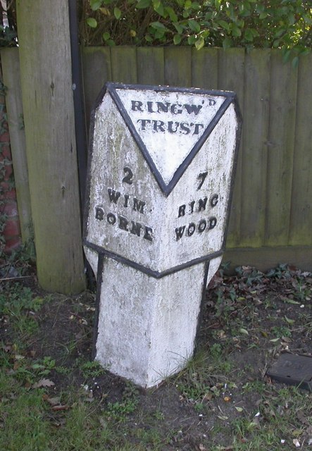
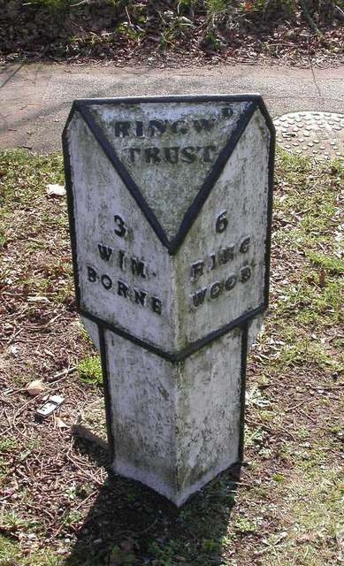
///earplugs.blacken.index. Near Ferndown, Dorset
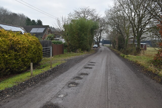
Related Wikis

Ameysford

Ameysford is a suburb and electoral ward in Ferndown, Dorset, England.

Ferndown

Ferndown is a town and civil parish in Dorset in southern England, immediately to the north of Bournemouth and Poole. The parish, which until 1972 was...

Holt Heath, Dorset

Holt Heath is a 4.88 square kilometres (1.88 sq mi) common situated four miles north-east of Wimborne Minster in east Dorset, southern England, close to...

Ferndown Upper School

Ferndown Upper School is a comprehensive school and sixth form located in Ferndown, Dorset. Opened in 1972, it has grown to accommodate a broad and successful...

West Moors

West Moors is a village in Dorset, England, on the northern fringe of the Poole-Bournemouth conurbation, just outside the larger settlements of Ferndown...

West Moors railway station

West Moors is a closed railway station in Dorset. Opened in 1867, it became the junction of the Southampton and Dorchester Railway and the Salisbury and...

Ferndown Common

Ferndown Common is a Site of Special Scientific Interest (SSSI) on the edge of Ferndown in Dorset, England. It is currently owned by the Wimborne Estate...

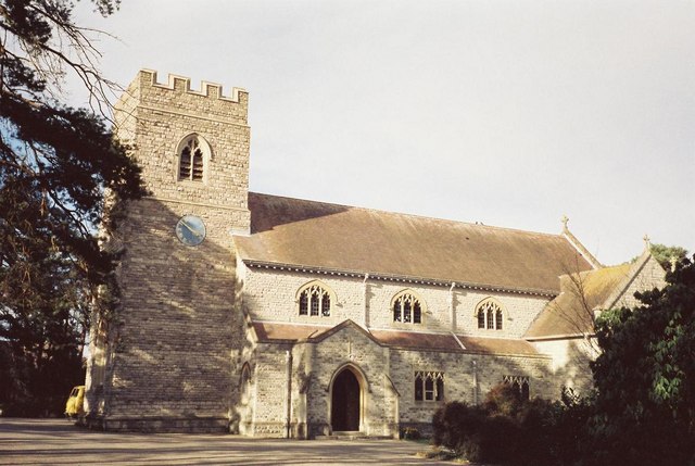
St Mary's Church, Ferndown

St Mary's Church is a Church of England parish church in the town of Ferndown, Dorset. == History == Building of the nave began in 1933, on land given...

Nearby Amenities

Located within 500m of 50.819336,-1.9222693
Power: pole
Source: bing
Transformer: distribution
Lat/Long: 50.8164571/-1.927359
The data included in this document is from www.openstreetmap.org. The data is made available under ODbL.

Have you been to The Birches?

Leave your review of The Birches below (or comments, questions and feedback).