West Wood
Wood, Forest in Northumberland
England
West Wood

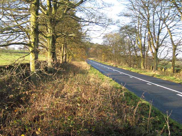
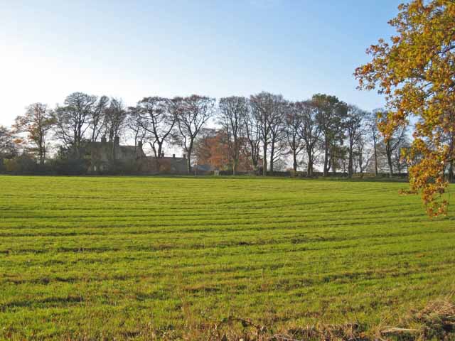
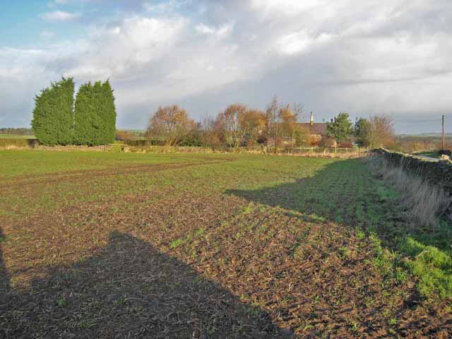
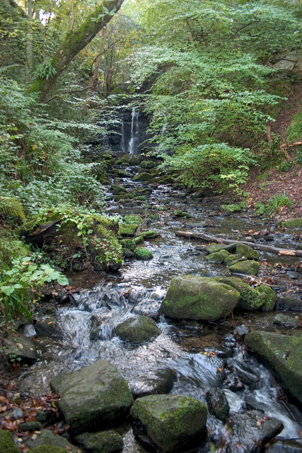
West Wood is a picturesque forest located in Northumberland, England. Spread across a vast area, it is known for its stunning natural beauty and diverse wildlife. The woodland is part of the wider Kielder Forest, which is one of the largest man-made forests in Europe.
West Wood is characterized by its dense canopies of towering trees, dominated by species such as oak, beech, and Scots pine. These trees provide a habitat for a wide range of flora and fauna, including rare bird species like the osprey and red squirrel. The forest floor is adorned with a carpet of vibrant wildflowers, adding to the enchanting atmosphere.
The wood offers an array of walking trails, allowing visitors to explore and immerse themselves in the tranquility of nature. These paths wind through the ancient trees, offering stunning views of the surrounding landscape. One popular trail leads to the Kielder Water, a vast man-made reservoir that provides a beautiful backdrop to the woodland.
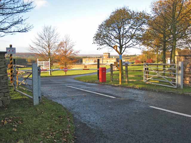
West Wood is also home to a variety of recreational activities. Cycling enthusiasts can enjoy the forest's cycling trails, which cater to both beginners and experienced riders. For those seeking a more adventurous experience, there are opportunities for mountain biking and horseback riding. Additionally, the forest hosts a range of events throughout the year, including guided walks and educational programs for nature enthusiasts of all ages.
Overall, West Wood, Northumberland is a captivating forest that offers visitors a chance to escape the hustle and bustle of everyday life and immerse themselves in the beauty of nature.
If you have any feedback on the listing, please let us know in the comments section below.
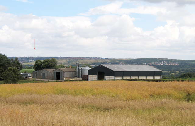
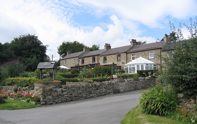
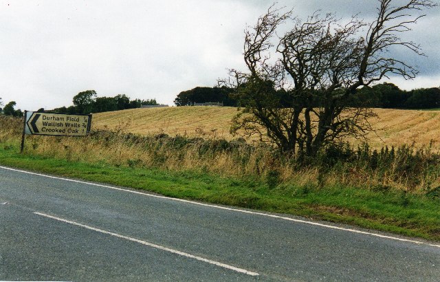
West Wood Images
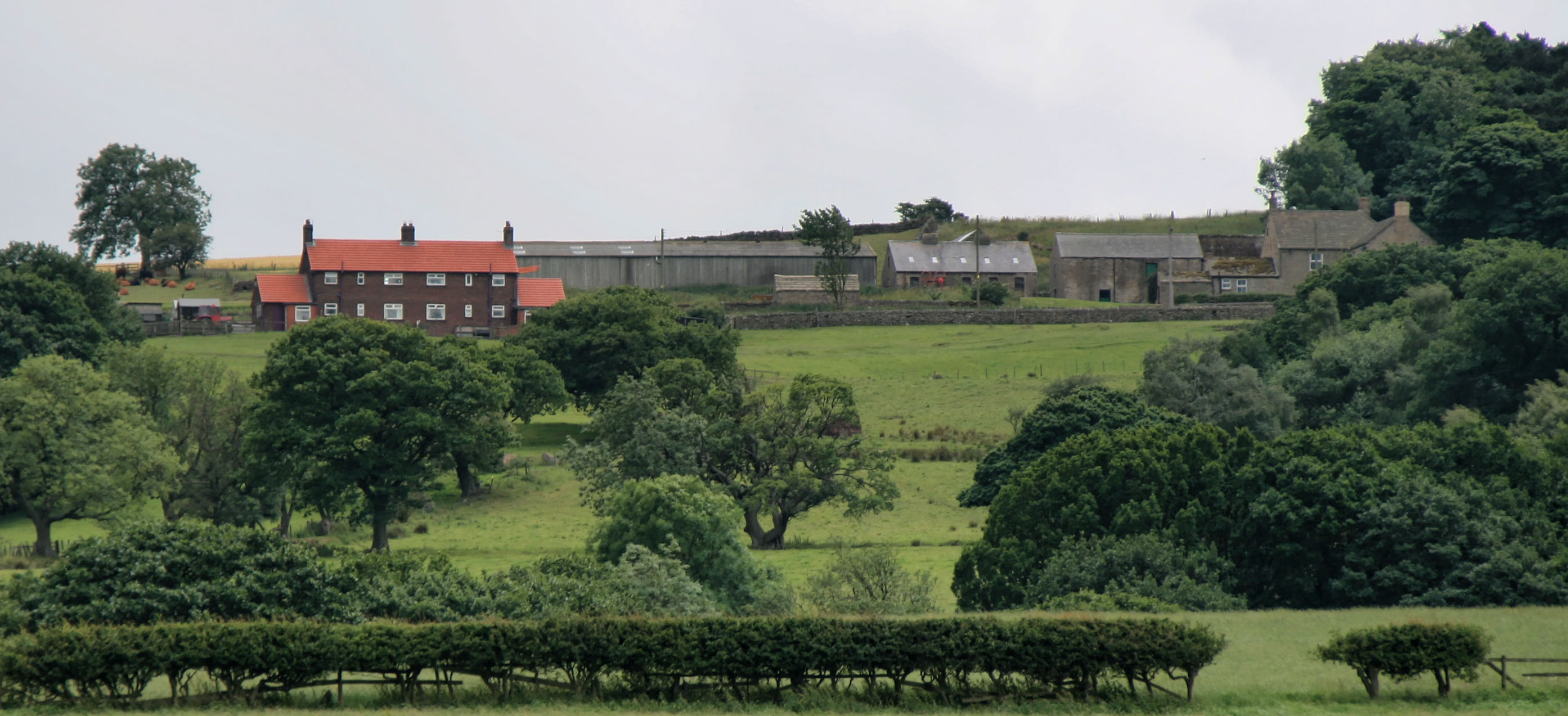
Images are sourced within 2km of 54.84731/-1.919518 or Grid Reference NZ0550. Thanks to Geograph Open Source API. All images are credited.


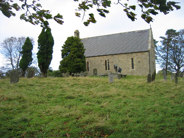
![Muggleswick All Saints Church The Church is a plain stone structure, which was rebuilt about the year 1728, on the site of the former church, whose materials were chiefly used in the construction of the present edifice. The parish register commences in 1730. The living is a perpetual curacy, a peculiar of the dean and chapter of Durham, and pays no first fruits or tenths. The parish is free of tithes, except a portion of Cold Rowley and Muggleswick, which produces about £34 per annum: the remainder of the income of the living is derived from farm-rents in the parish. Patrons, the dean and chapter; incumbent, the Rev. Cundhill. [Whellan's History, Topography and Directory of Durham (and Newcastle) (1856), page 905.]](https://s3.geograph.org.uk/photos/10/74/107479_265ece02.jpg)


West Wood is located at Grid Ref: NZ0550 (Lat: 54.84731, Lng: -1.919518)
Unitary Authority: Northumberland
Police Authority: Northumbria
What 3 Words
///consonant.reserved.mammal. Near Muggleswick, Co. Durham
Nearby Locations
Related Wikis

Muggleswick
Muggleswick is a village and civil parish in County Durham, England. It is situated a few miles to the west of Consett. the population was 130 at the 2001...
Carterway Heads
Carterway Heads is a hamlet in Northumberland, England. It is situated between Consett and the Derwent Reservoir, at the intersection of the A68 and B6278...
Derwent Gorge and Horsleyhope Ravine
Derwent Gorge and Horsleyhope Ravine is a Site of Special Scientific Interest in the Derwentside district of north County Durham and the Tynedale district...

Burnhope Burn
Burnhope Burn is a Site of Special Scientific Interest in the Wear Valley district of north County Durham, England. It consists of a 12.6-acre (5.1 ha...
Allensford
Allensford is a small country park and hamlet in County Durham, in England. It is on the River Derwent, about 2 miles SW of Consett, and 1 mile north...
Snods Edge
Snods Edge is a small hamlet in South Northumberland, about 4 miles (6 km) from Consett. The name is thought to have derived from "snow's edge", referring...
Healeyfield
Healeyfield is a village and civil parish in County Durham, England. The population of the civil parish taken from the 2011 census was 1,544. It is situated...

Hisehope Burn Valley
Hisehope Burn Valley is a Site of Special Scientific Interest in the Derwentside district of Durham, England. It consists of two separate parcels of land...
Nearby Amenities
Located within 500m of 54.84731,-1.919518Have you been to West Wood?
Leave your review of West Wood below (or comments, questions and feedback).