Nether Wood

Wood, Forest in Yorkshire

England

Nether Wood

Manor House Farm A farm just up the hill from Marsden.
Manor House Farm Credit: John Illingworth

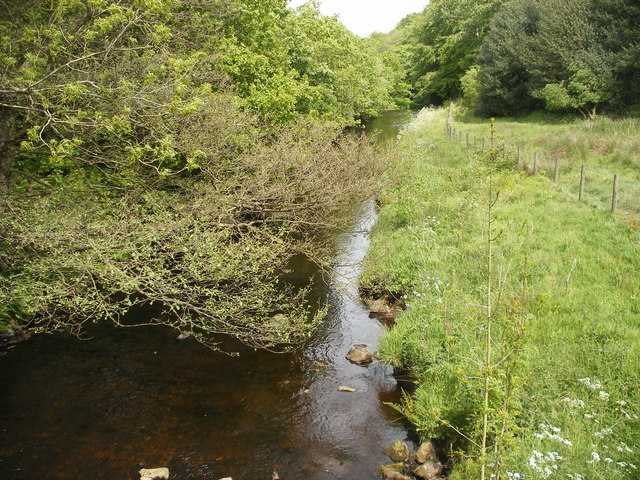
Nether Wood, located in the county of Yorkshire in northern England, is a picturesque forest area that spans across a vast expanse of land. The woodland is known for its breathtaking natural beauty and is a popular destination for nature enthusiasts and outdoor adventurers alike.

Covering an area of approximately 100 square kilometers, Nether Wood is home to a diverse range of flora and fauna. The forest is predominantly composed of deciduous trees, including oak, beech, and birch, which create a stunning canopy of vibrant colors during the autumn season. The forest floor is adorned with a rich carpet of moss, ferns, and wildflowers, adding to the enchanting atmosphere.

Traversing through Nether Wood, visitors can explore a network of well-maintained walking trails that meander through the dense foliage. These trails offer opportunities for leisurely strolls, invigorating hikes, and even mountain biking. Along the way, hikers may encounter various wildlife species, such as deer, squirrels, and a myriad of bird species.

Nether Wood also boasts several natural attractions, including a cascading waterfall and a serene lake. The waterfall, known as Crystal Falls, is a popular spot for photographers and provides a tranquil setting for picnics. The lake, named Mirror Lake due to its calm and reflective surface, offers visitors the chance to engage in fishing and boating activities.

Overall, Nether Wood is a captivating destination that showcases the raw beauty of Yorkshire's natural landscape. Whether one seeks solitude, adventure, or simply a connection with nature, this forest provides an unforgettable experience for all who visit.

If you have any feedback on the listing, please let us know in the comments section below.
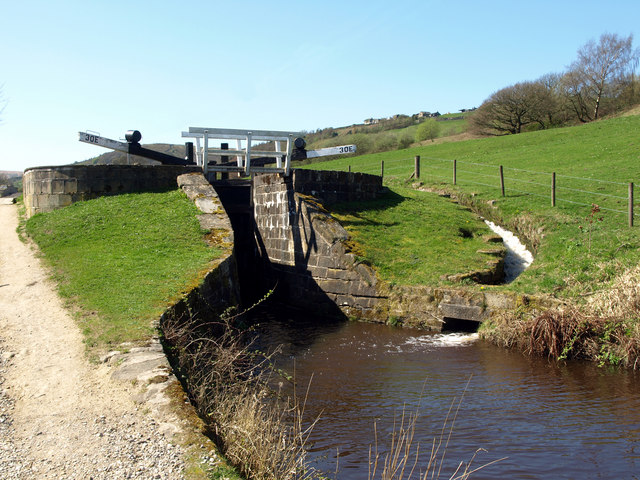
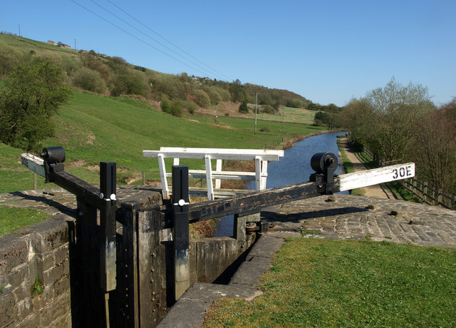
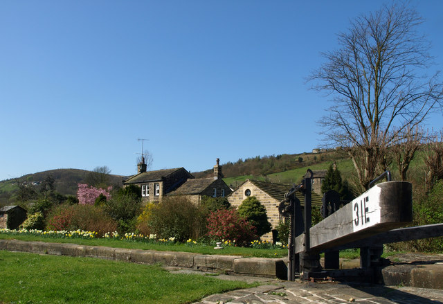
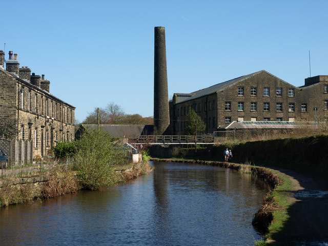
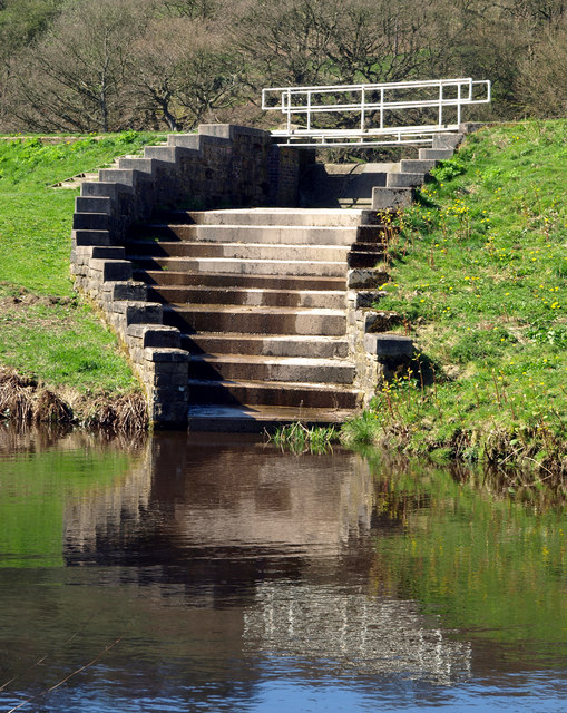
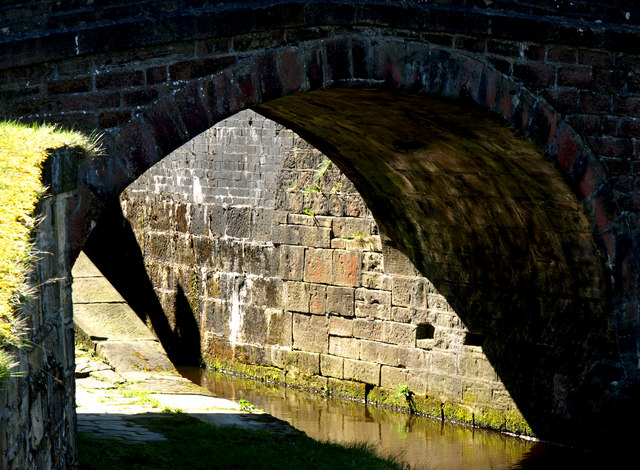
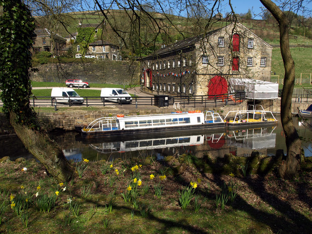
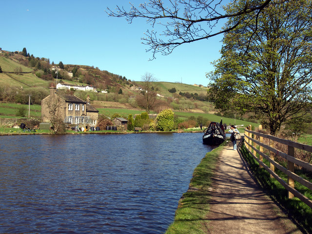
Nether Wood Images

Images are sourced within 2km of 53.611809/-1.9229516 or Grid Reference SE0512. Thanks to Geograph Open Source API. All images are credited.

Manor House Farm A farm just up the hill from Marsden.
Manor House Farm
A farm just up the hill from Marsden.
Lock 30E on the Huddersfield Narrow Canal Lovely weather; lovely walk!
Lock 30E on the Huddersfield Narrow Canal
Lovely weather; lovely walk!
The view from north eastwards from Lock 30E
At Lock 31E on the Huddersfield Narrow Canal
Clough Mill and the Huddersfield Narrow Canal
Canal Feeder Steps
Canal Feeder Steps
Underneath the Arch One of many bridges on the Huddersfield Narrow Canal.
Underneath the Arch
One of many bridges on the Huddersfield Narrow Canal.
Trip Boat on the Huddersfield Narrow Canal The boat takes visitors into the nearby Standedge canal tunnel (there are four tunnels at this point - three railway and one canal).

Unfortunately on this day, there wasn't enough water in the canal for tunnel tripping!
Trip Boat on the Huddersfield Narrow Canal
The boat takes visitors into the nearby Standedge canal tunnel (there are four tunnels at this point - three railway and one canal). Unfortunately on this day, there wasn't enough water in the canal for tunnel tripping!
The Huddersfield Narrow Canal above Lock 31E There is a winding point (boat turning area) at this point - one of few on this stretch of the Huddersfield Narrow Canal.
The Huddersfield Narrow Canal above Lock 31E
There is a winding point (boat turning area) at this point - one of few on this stretch of the Huddersfield Narrow Canal.
Marsden in 2002 The clock tower is on the Mechanics' Institute. The big mill beyond is Bank Bottom Mills. The Pennines dominate the background and are wild upland country.
Marsden in 2002
The clock tower is on the Mechanics' Institute. The big mill beyond is Bank Bottom Mills. The Pennines dominate the background and are wild upland country.
Cellars Clough Mill, Marsden Former textile mill, now reported as derelict. The pond would have supplied a water turbine.
Cellars Clough Mill, Marsden
Former textile mill, now reported as derelict. The pond would have supplied a water turbine.
Marsden Station
Marsden Station
A62 near Tunnel End
A62 near Tunnel End
Small reservoir above Tunnel End
Cottages near Tunnel End
Sparth Reservoir
Sparth Reservoir
Railway bridge near canal
River Colne looking downstream from a footbridge
Show me another place!

Nether Wood is located at Grid Ref: SE0512 (Lat: 53.611809, Lng: -1.9229516)

Division: West Riding

Unitary Authority: Kirklees

Police Authority: West Yorkshire

What 3 Words

///factually.trails.chum. Near Marsden, West Yorkshire

Related Wikis

Marsden railway station

Marsden railway station serves the village of Marsden near Huddersfield in West Yorkshire, England. The station is on the Huddersfield Line, operated by...

Marsden, West Yorkshire

Marsden is a large village in the Colne Valley, in the metropolitan borough of Kirklees, West Yorkshire, England. It is in the South Pennines close to...
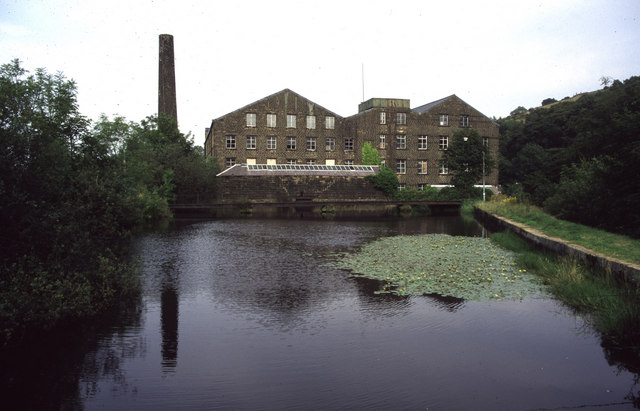
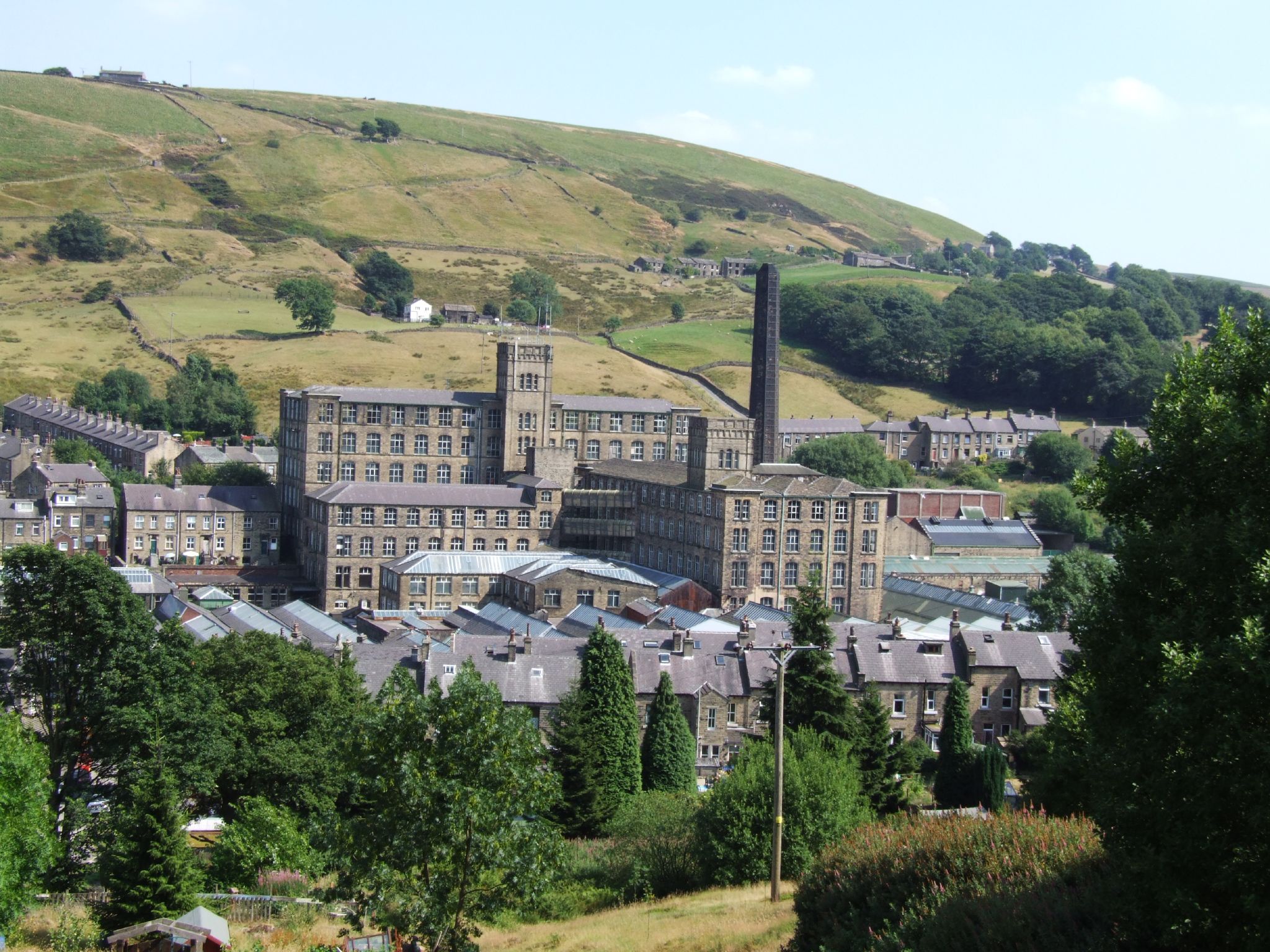
Bank Bottom Mill

Bank Bottom Mill, later known as Marsden Mill, was from 1824 an important centre for the production of woollen cloth in Marsden, West Yorkshire, England...

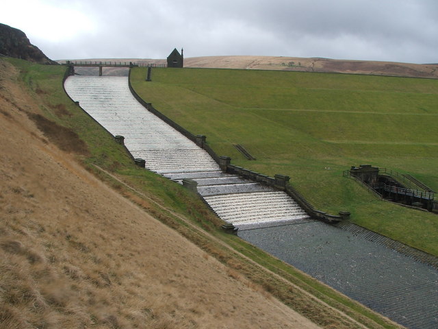
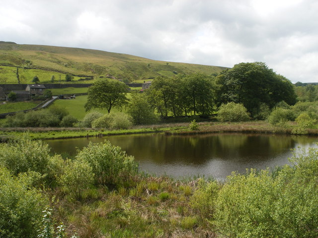
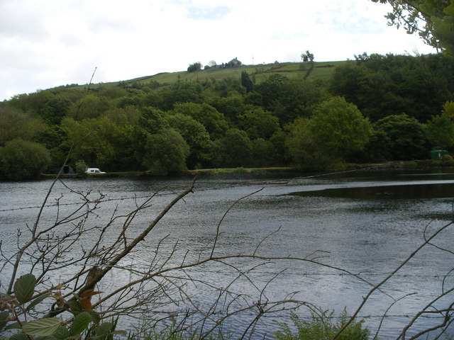
Butterley Reservoir, West Yorkshire

Butterley Reservoir is a reservoir located near Marsden, West Yorkshire, near the Peak District National Park boundary. It was completed in 1906. The reservoir...

Nearby Amenities

Located within 500m of 53.611809,-1.9229516
Seamark Type: gate
Waterway: lock_gate
Lat/Long: 53.608908/-1.917201
Park Gate Road
Local Ref: 45024559
Naptan AtcoCode: 450024559
Naptan Bearing: NE
Naptan BusStopType: CUS
Naptan CommonName: Park Gate Road
Naptan Crossing: Netherwood Lane
Naptan Indicator: Stop 45024559
Naptan PlusbusZoneRef: LEEDS
Naptan ShortCommonName: Netherwood Lane
Naptan Street: Park Gate Road
Naptan Verified: no
Source: naptan_import
Lat/Long: 53.6102604/-1.9178977
Seamark Type: gate
Waterway: lock_gate
Lat/Long: 53.6081323/-1.9186452
Seamark Type: gate
Waterway: lock_gate
Lat/Long: 53.6083124/-1.9184343
Slaithwaite Hall
Place: hamlet
Lat/Long: 53.613396/-1.9175054
Information: board
Tourism: information
Lat/Long: 53.6083578/-1.9181413
Information: route_marker
Material: stone
Tourism: information
Lat/Long: 53.6112256/-1.9180044
Barrier: stile
Lat/Long: 53.6101098/-1.9217404
Ford: stepping_stones
Handrail: yes
Lat/Long: 53.6154396/-1.922573
Ford: stepping_stones
Handrail: yes
Lat/Long: 53.6152847/-1.923622
The data included in this document is from www.openstreetmap.org. The data is made available under ODbL.

Have you been to Nether Wood?

Leave your review of Nether Wood below (or comments, questions and feedback).