Broadmoor Wood

Wood, Forest in Staffordshire Staffordshire Moorlands

England

Broadmoor Wood

A country lane With several cars parked the lane is quite wide at this point.
A country lane Credit: Malcolm Neal

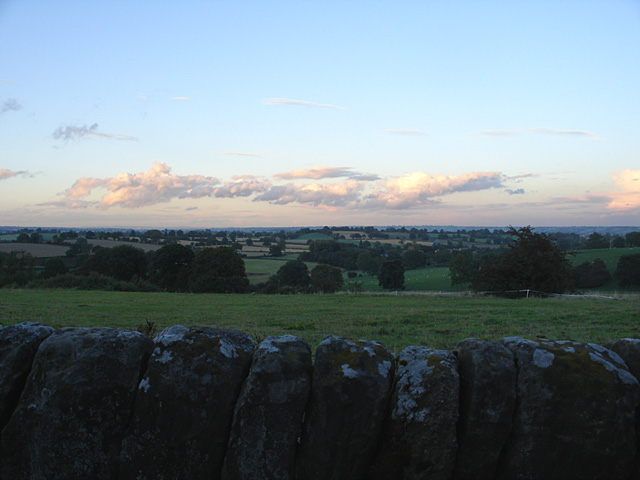
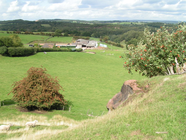
Broadmoor Wood is a picturesque forest located in the county of Staffordshire, England. Covering an area of approximately 400 acres, this woodland is known for its natural beauty and rich biodiversity. It is situated within the Cannock Chase Area of Outstanding Natural Beauty, which further enhances its significance.

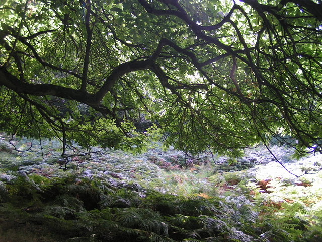
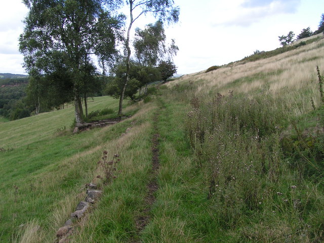
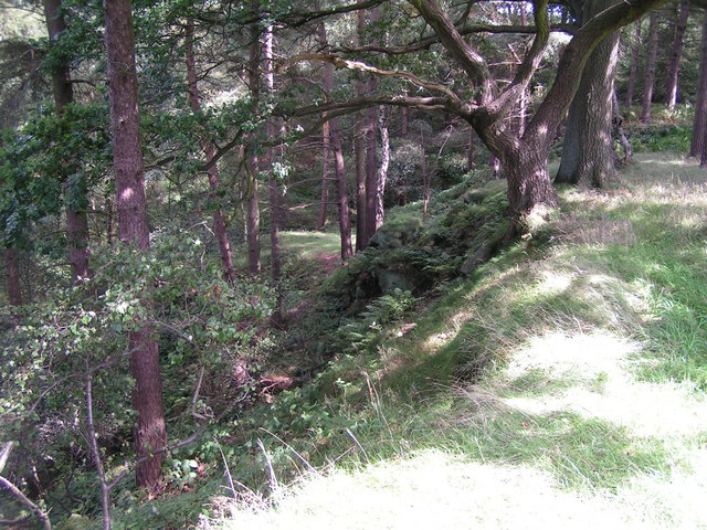
The wood is predominantly made up of broadleaf trees, including oak, birch, and beech, which provide a dense canopy, creating a serene and tranquil atmosphere. The forest floor is adorned with a variety of wildflowers, such as bluebells and primroses, adding a burst of color to the landscape during the spring months.

Broadmoor Wood is home to a diverse range of wildlife. Visitors may spot deer, foxes, badgers, and a wide array of bird species, including woodpeckers and owls. The forest provides a vital habitat for these creatures, offering shelter, food, and nesting sites.

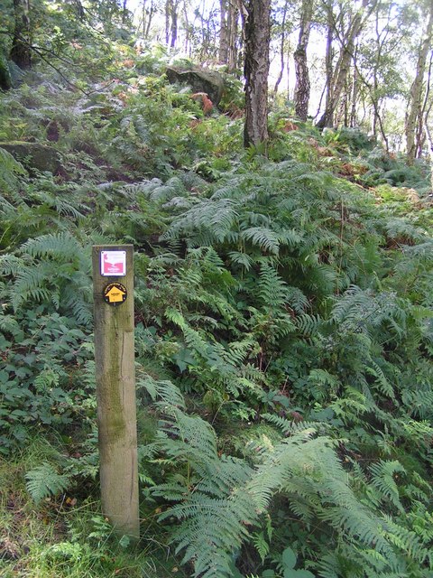
Walking trails and footpaths wind their way through the wood, allowing visitors to explore its natural wonders at their own pace. The well-maintained paths offer a peaceful environment for hikers and nature enthusiasts to enjoy the tranquil beauty of the woodland. It is a popular destination for both locals and tourists seeking a break from the hustle and bustle of everyday life.

Broadmoor Wood offers a unique opportunity to reconnect with nature and experience the magic of an ancient woodland. Its serene ambiance, coupled with its diverse wildlife and stunning scenery, make it a true gem in the heart of Staffordshire.

If you have any feedback on the listing, please let us know in the comments section below.

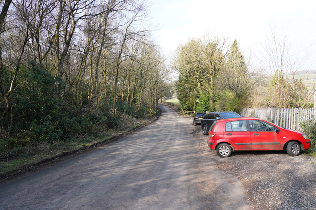
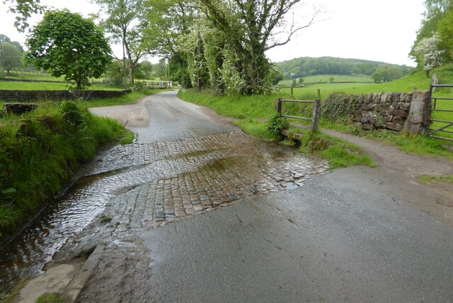
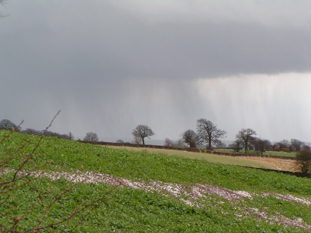
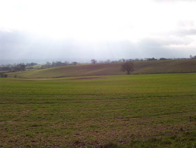
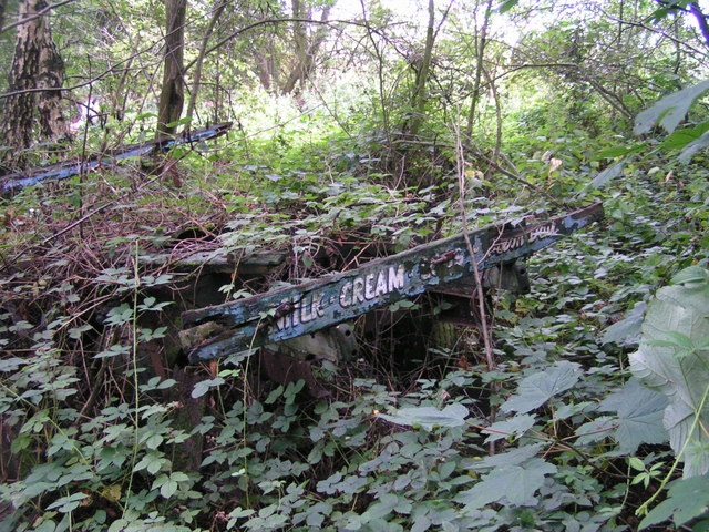
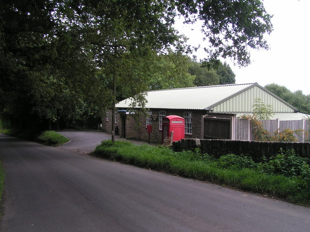
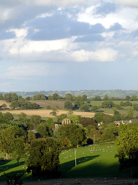
Broadmoor Wood Images

Images are sourced within 2km of 52.95432/-1.9254608 or Grid Reference SK0539. Thanks to Geograph Open Source API. All images are credited.

A country lane With several cars parked the lane is quite wide at this point.
A country lane
With several cars parked the lane is quite wide at this point.
Great Gate Ford Ford on a minor country road at Great Gate.
Great Gate Ford
Ford on a minor country road at Great Gate.
Stormy afternoon near Hollington
Sun through the clouds Sun breaks through the cloud onto rolling farmland.  Looking towards Checkley from Hollington-Upper Tean road.
Sun through the clouds
Sun breaks through the cloud onto rolling farmland. Looking towards Checkley from Hollington-Upper Tean road.
Croxden Abbey The road passes through part of the abbey.
Croxden Abbey
The road passes through part of the abbey.
West Front of Croxden Abbey The abbey was initially founded 5 miles away at Cotton in 1176, and moved to this site 3 years later.
West Front of Croxden Abbey
The abbey was initially founded 5 miles away at Cotton in 1176, and moved to this site 3 years later.
West Front of Croxden Abbey Taken in the evening sunshine. The entrance leading to a farmhouse is private.
West Front of Croxden Abbey
Taken in the evening sunshine. The entrance leading to a farmhouse is private.
St Giles, Croxden St Giles was built about 1884/5 to replace an earlier chapel by the abbey.
St Giles, Croxden
St Giles was built about 1884/5 to replace an earlier chapel by the abbey.
Fields near Hollington Taken from beside the Raddle Inn on Quarry Bank.
Fields near Hollington
Taken from beside the Raddle Inn on Quarry Bank.
Underneath the spreading chestnut tree One of a grove of sweet chestnut trees in Broadmoor Wood; this one is right on the hairpin bend between Great Gate and Hollington.
Underneath the spreading chestnut tree
One of a grove of sweet chestnut trees in Broadmoor Wood; this one is right on the hairpin bend between Great Gate and Hollington.
In Broadmoor Wood Well-named: I felt ready for Broadmoor after blundering about in bouldery bracken trying to find the footpath to Lodgedale. I was reassured to find this sign indicating that (despite appearances) I was still in the right place. The path is fairly well signposted, but obviously not well used. I got utterly lost in the same wood a bit later, near the Raddle Inn in Hollington.
In Broadmoor Wood
Well-named: I felt ready for Broadmoor after blundering about in bouldery bracken trying to find the footpath to Lodgedale. I was reassured to find this sign indicating that (despite appearances) I was still in the right place. The path is fairly well signposted, but obviously not well used. I got utterly lost in the same wood a bit later, near the Raddle Inn in Hollington.
Lodgedale Looking towards Lodgedale Farm from a rock outcrop close to the Hollington road.
Lodgedale
Looking towards Lodgedale Farm from a rock outcrop close to the Hollington road.
Quarrymen's track, Lodgedale A well-made track (now a little-used footpath - the worn strip was made by sheep, not people) along the eastern slope of Lodgedale.
Quarrymen's track, Lodgedale
A well-made track (now a little-used footpath - the worn strip was made by sheep, not people) along the eastern slope of Lodgedale.
Old quarry, Hollington Disused, now wooded, stone quarries north of the road through Hollington.
Old quarry, Hollington
Disused, now wooded, stone quarries north of the road through Hollington.
Dry-stone walling, Staffordshire style This tendency to lay courses of stones at a shallow diagonal seems to be a local tradition, as I saw several walls in the area with a similar style. Earlier in my walk I said good morning to someone dry-stone-walling as I passed by, but he appeared to be laying his courses conventionally (i.e. horizontally).
Dry-stone walling, Staffordshire style
This tendency to lay courses of stones at a shallow diagonal seems to be a local tradition, as I saw several walls in the area with a similar style. Earlier in my walk I said good morning to someone dry-stone-walling as I passed by, but he appeared to be laying his courses conventionally (i.e. horizontally).
The Raddle Inn Glad to get here for a much-needed drink after getting fairly comprehensively (though briefly) lost in Broadmoor Wood. See <span class="nowrap"><a title="http://www.logcabin.co.uk" rel="nofollow ugc noopener" href="http://www.logcabin.co.uk">Link</a><img style="margin-left:2px;" alt="External link" title="External link - shift click to open in new window" src="https://s1.geograph.org.uk/img/external.png" width="10" height="10"/></span>
The Raddle Inn
Glad to get here for a much-needed drink after getting fairly comprehensively (though briefly) lost in Broadmoor Wood. See LinkExternal link
Old dairyman's cart Slowly being reclaimed by nature by the footpath just northwest of the Raddle Inn.
Old dairyman's cart
Slowly being reclaimed by nature by the footpath just northwest of the Raddle Inn.
Hollington Village Hall With adjoining postbox and phonebox.
Hollington Village Hall
With adjoining postbox and phonebox.
Show me another place!

Broadmoor Wood is located at Grid Ref: SK0539 (Lat: 52.95432, Lng: -1.9254608)

Administrative County: Staffordshire

District: Staffordshire Moorlands

Police Authority: Staffordshire

What 3 Words

///showering.successes.giggle. Near Cheadle, Staffordshire

Related Wikis

Hollington, Staffordshire

Hollington is a village in the Staffordshire Moorlands in English county of Staffordshire. There are several villages of this same name, and there is a...
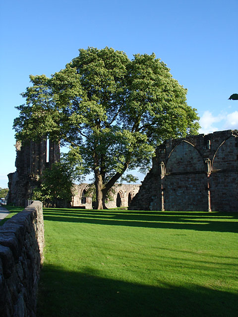
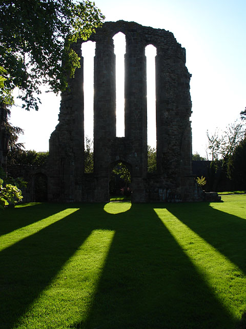
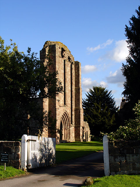
Croxden Abbey

Croxden Abbey, also known as "Abbey of the Vale of St. Mary at Croxden", was a Cistercian abbey at Croxden, Staffordshire, United Kingdom. A daughter house...

Croxden

Croxden is a village in the county of Staffordshire, England, south of Alton and north of Uttoxeter. The population of the civil parish as taken at the...

Bradley in the Moors

Bradley in the Moors is a village and former civil parish, now in the parish of Alton, in the Staffordshire Moorlands district, in the county of Staffordshire...

Checkley

Checkley is a village and civil parish in the district of Staffordshire Moorlands in the English county of Staffordshire. == Location == The village is...

Farley, Staffordshire

Farley is a hamlet and civil parish in the Staffordshire Moorlands district, in the English county of Staffordshire. It is near to the villages of Alton...

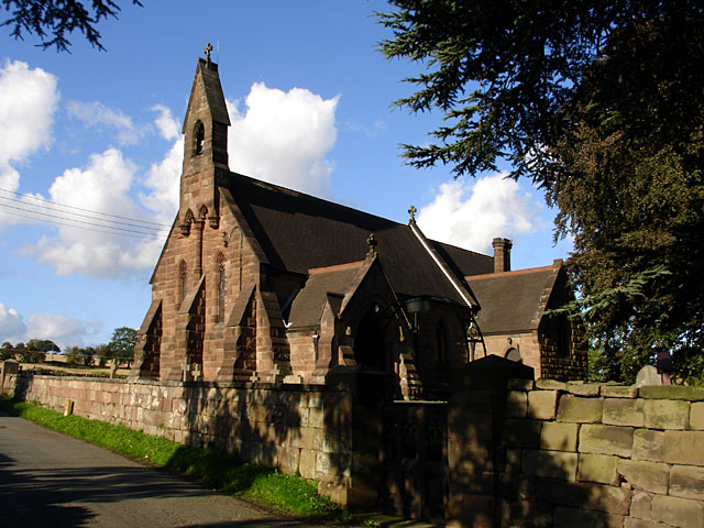
St Mary's and All Saints' Church, Checkley

St Mary's and All Saints' Church is an Anglican church in the village of Checkley, Staffordshire, England. It is a Grade I listed building. The oldest...
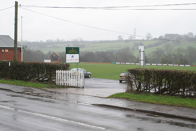
Uttoxeter Road

Uttoxeter Road (also known as Four Trees) is a cricket ground located along the Uttoxeter Road between the villages of Lower Tean and Checkley in Staffordshire...

Related Videos

FUR BABIES | 2️⃣ Day Nature Vacation, Girls Only

HELLO, THERE CUBS! I hope you like this and thank you for watching my video; please like, comment, share, and subscribe for ...

Quarry Walk Park

Amazing property to relax in the lush woodland with all the luxuries.

scarefest and overnight stay at the Peakstones inn

scarefest weekend and a stay at peakstones inn, enjoyed our stay in the chalet at b&b/country pub, margaret and her team was ...

Nearby Amenities

Located within 500m of 52.95432,-1.9254608
Ford: yes
Lat/Long: 52.9577111/-1.9220041
Greatgate
Place: hamlet
Lat/Long: 52.9573893/-1.9235919
Pub
Raddle Inn
Addr Postcode: ST10 4HQ
Addr Street: Quarry Bank
Fhrs Id: 1259877
Source Addr: FHRS Open Data
Lat/Long: 52.9542928/-1.9205624
Barrier: stile
Lat/Long: 52.9564465/-1.9230544
Raddle Inn Campsite
Operator: Raddle Inn
Tourism: camp_site
Lat/Long: 52.9543732/-1.9202669
Man Made: water_works
Lat/Long: 52.9574372/-1.9213671
Barrier: stile
Foot: yes
Material: steel
Stile: squeezer
Lat/Long: 52.9579068/-1.9241927
Tourism: picnic_site
Lat/Long: 52.9517586/-1.9208414
Post Box
Operator: Royal Mail
Operator Wikidata: Q638098
Post Box Type: lamp
Ref: ST10 211
Royal Cypher: EIIR
Royal Cypher Wikidata: Q33102113
Lat/Long: 52.9503663/-1.9279262
Barrier: stile
Material: wood
Source: survey;gps
Stile: stepover
Lat/Long: 52.9579267/-1.9241762
Barrier: stile
Material: steel
Source: survey;gps
Stile: squeezer
Lat/Long: 52.9587525/-1.9243726
The data included in this document is from www.openstreetmap.org. The data is made available under ODbL.

Have you been to Broadmoor Wood?

Leave your review of Broadmoor Wood below (or comments, questions and feedback).