Carr Wood
Wood, Forest in Staffordshire Staffordshire Moorlands
England
Carr Wood
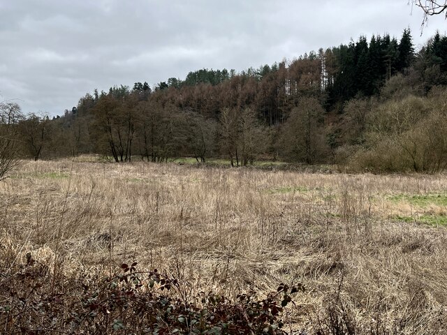
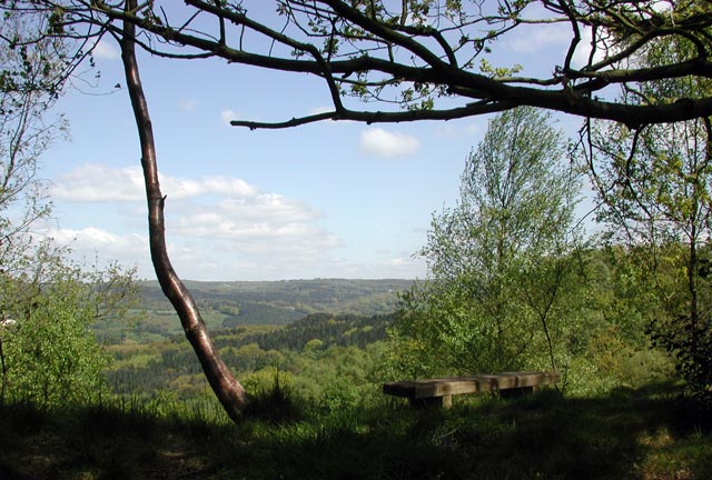
Carr Wood is a picturesque forest located in Staffordshire, England. Covering an area of approximately 50 acres, it is a popular destination for nature enthusiasts and outdoor enthusiasts alike. The wood is characterized by its dense foliage, towering trees, and tranquil atmosphere.
The forest is home to a diverse range of plant and animal species, making it an ideal spot for wildlife enthusiasts. Visitors can expect to encounter a variety of bird species, including woodpeckers, owls, and thrushes. Squirrels, foxes, and even deer can also be spotted within the wood.
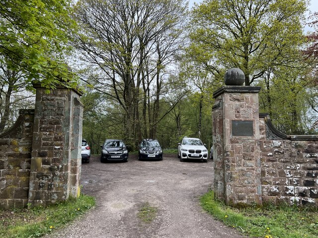
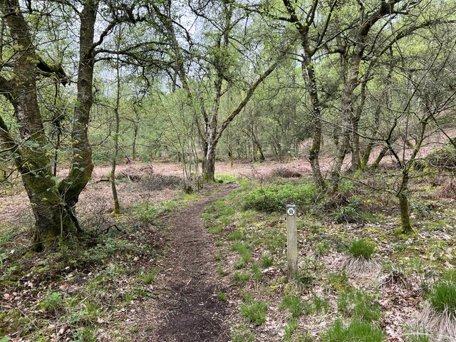
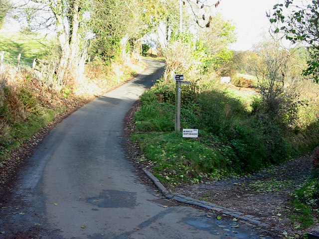
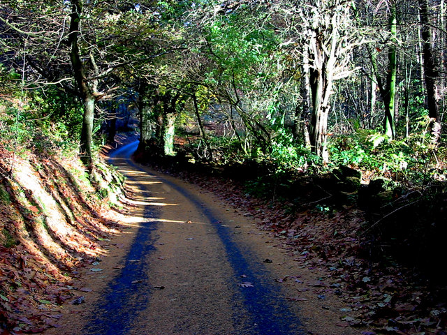
Carr Wood is crisscrossed by numerous walking trails, allowing visitors to explore the natural beauty at their own leisure. These trails wind through the forest, offering breathtaking views of the surrounding countryside and providing an opportunity to immerse oneself in the serene environment.
In addition to its natural beauty, Carr Wood also holds historical significance. The wood is believed to have once been part of a larger ancient forest that covered a significant portion of Staffordshire. Remnants of this ancient forest can still be seen in the form of ancient trees and archaeological sites.
A visit to Carr Wood is a chance to escape the hustle and bustle of everyday life and reconnect with nature. Whether it's a leisurely stroll through the forest, birdwatching, or simply enjoying a peaceful picnic, Carr Wood offers a sanctuary for those seeking tranquility and natural beauty.
If you have any feedback on the listing, please let us know in the comments section below.
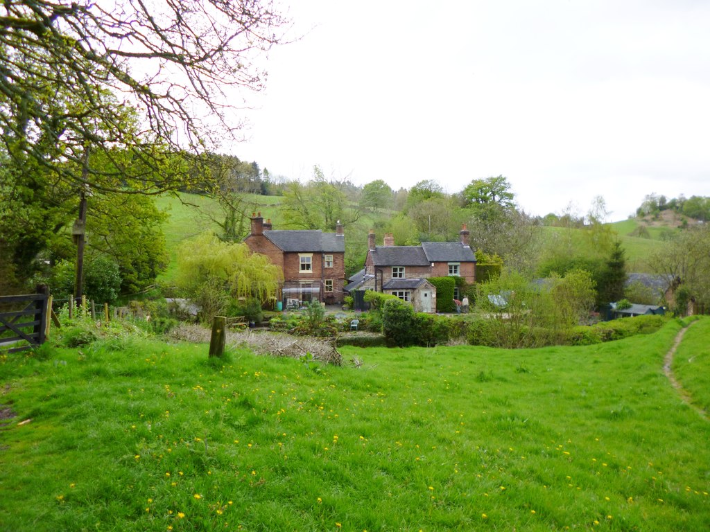
Carr Wood Images
Images are sourced within 2km of 53.004247/-1.926612 or Grid Reference SK0545. Thanks to Geograph Open Source API. All images are credited.


Carr Wood is located at Grid Ref: SK0545 (Lat: 53.004247, Lng: -1.926612)
Administrative County: Staffordshire
District: Staffordshire Moorlands
Police Authority: Staffordshire
What 3 Words
///incursion.info.wordplay. Near Cheadle, Staffordshire
Related Wikis

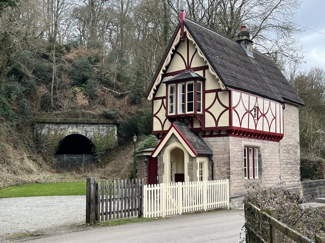
Oakamoor Tunnel
Oakamoor Tunnel is a disused 497-yard (454 m) long tunnel located north of Oakamoor railway station on the former Uttoxeter to North Rode section of the...

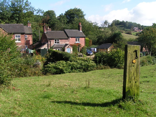
Oakamoor
Oakamoor is a small village in north Staffordshire, England. Although it is now a rural area, it has an industrial past which drew on the natural resources...

Oakamoor railway station
Oakamoor railway station is a closed railway station in the Churnet Valley, Staffordshire. The station was opened in 1849 as part of the Churnet Valley...

Cotton Dell
Cotton Dell is a nature reserve of the Staffordshire Wildlife Trust. It is a wooded valley area near the village of Cotton and about 0.5 miles (0.8 km...
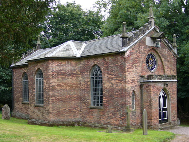
The Old Furnace
The Old Furnace is a colloquial name given to an historic site in Oakamoor, Staffordshire, England, that supported the development of medieval and post...

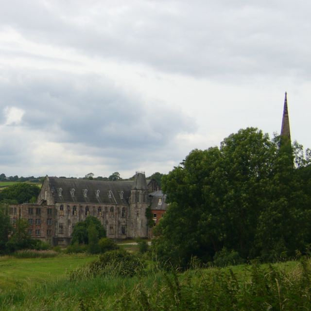
Cotton College
Cotton College was a Roman Catholic boarding school in Cotton, Staffordshire, United Kingdom. It was also known as Saint Wilfrid's College. The school...

Cotton, Staffordshire
Cotton is a village and civil parish in Staffordshire, England. It is about 5 miles (8.0 km) north-east of Cheadle. Cotton Hall, originally built in the...
Whiston, Staffordshire Moorlands
Whiston is a village in the Staffordshire Moorlands district of Staffordshire, England. Population details as taken at the 2011 census can be found under...
Nearby Amenities
Located within 500m of 53.004247,-1.926612Have you been to Carr Wood?
Leave your review of Carr Wood below (or comments, questions and feedback).