Angus's Covert

Wood, Forest in Northumberland

England

Angus's Covert

Footpath to Standing Stone
Footpath to Standing Stone Credit: Jeff Buck

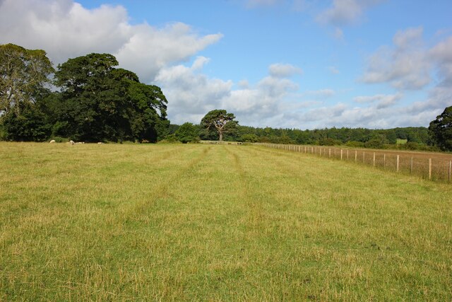
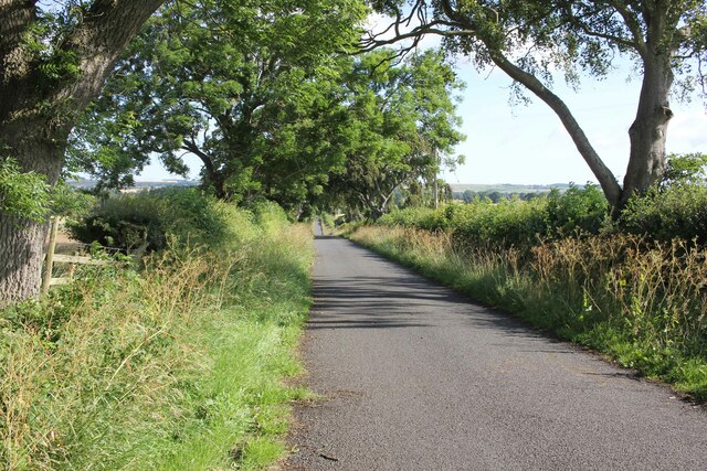
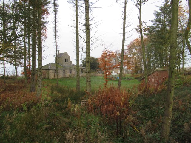
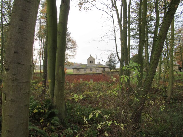
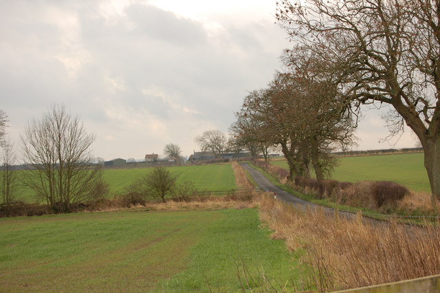
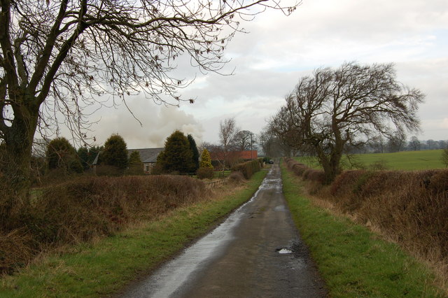
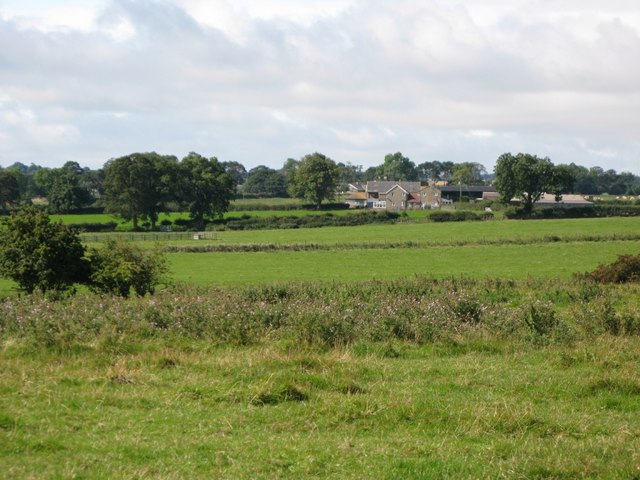
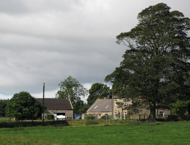
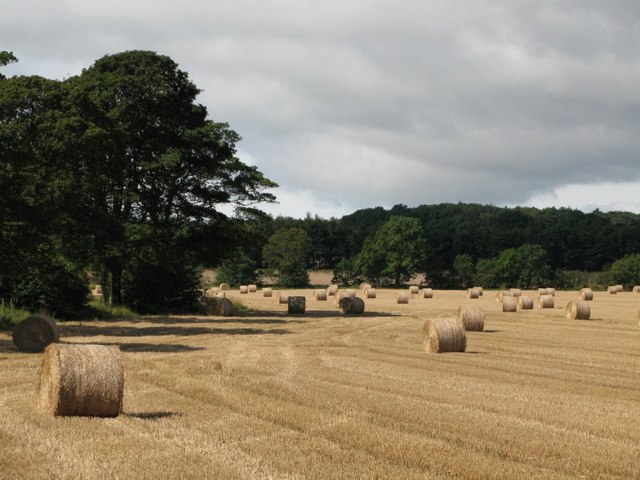
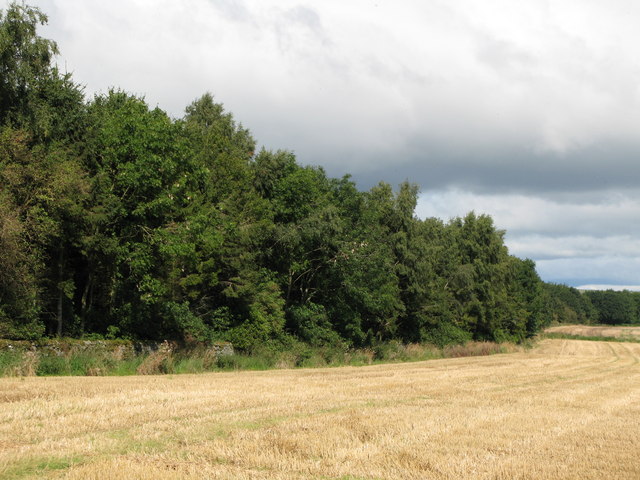
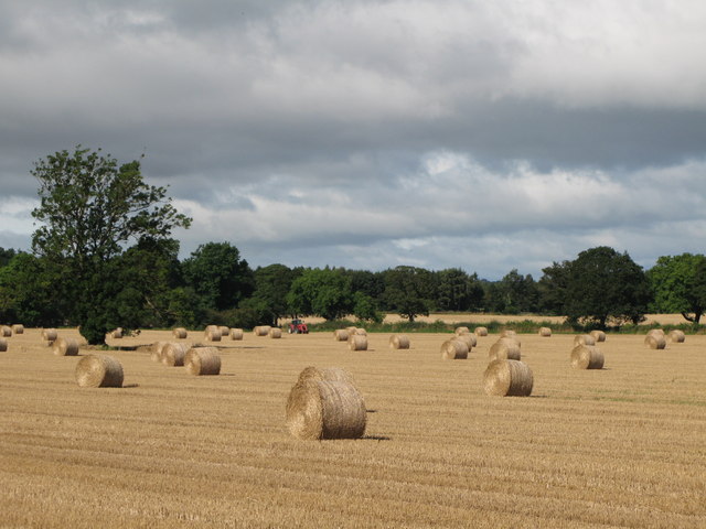
Angus's Covert is a picturesque woodland located in the rural area of Northumberland, England. Spread across a vast expanse, this forest is renowned for its ethereal charm and natural beauty. The woodland is shrouded in a dense canopy of ancient trees, creating a tranquil and secluded atmosphere that is perfect for nature enthusiasts and those seeking solace in the great outdoors.

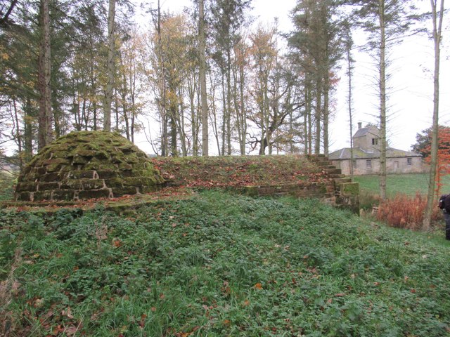
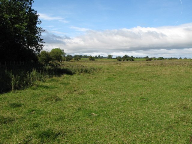
The woodland is predominantly composed of native tree species, including oak, beech, and birch, which provide a rich habitat for a diverse range of flora and fauna. The forest floor is adorned with a carpet of lush undergrowth, comprising of ferns, wildflowers, and moss-covered rocks, adding to the enchanting ambiance of the area.

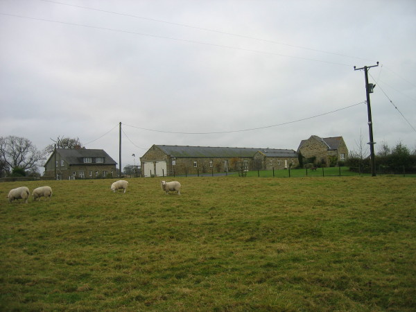
Angus's Covert is also home to an abundance of wildlife, making it a haven for animal lovers and birdwatchers. Visitors may catch glimpses of deer gracefully moving among the trees, squirrels playfully scampering along branches, and a variety of bird species soaring overhead.

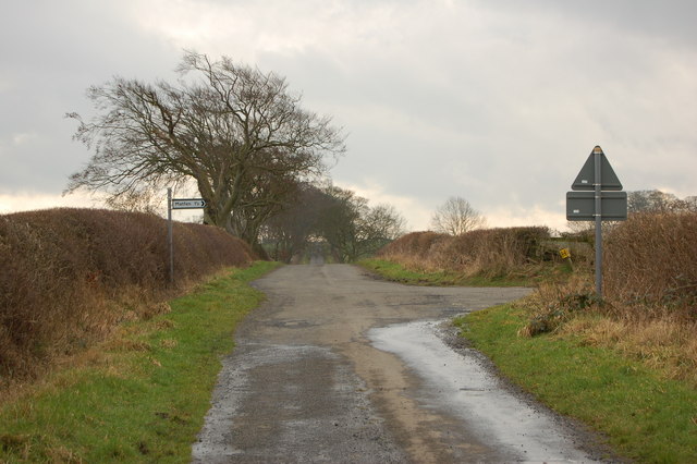
The forest offers an extensive network of well-maintained walking trails, allowing visitors to explore the woods at their own pace. These paths wind through the forest, leading to hidden clearings and secluded ponds, offering opportunities for peaceful reflection and relaxation.

Overall, Angus's Covert in Northumberland is a captivating woodland that allows visitors to immerse themselves in the tranquility of nature. Whether it is for a leisurely stroll, birdwatching, or simply to escape the hustle and bustle of everyday life, this enchanting forest provides a magical retreat for all who venture within its leafy embrace.

If you have any feedback on the listing, please let us know in the comments section below.

Angus's Covert Images

Images are sourced within 2km of 55.015086/-1.9237341 or Grid Reference NZ0468. Thanks to Geograph Open Source API. All images are credited.

Footpath to Standing Stone
Lane to East Matfen Village
Butcher Hill Farm
Butcher Hill Farm
Farmhouse near West Moorhouse On some earlier OS maps this farmhouse is down as West Moorhouse and West Moorhouse is down as Moorhouse.
Farmhouse near West Moorhouse
On some earlier OS maps this farmhouse is down as West Moorhouse and West Moorhouse is down as Moorhouse.
The Kennels (Kennel Cottage and Kennels) This was an estate cottage for the Matfen Hall country house estate of the Rickman and Blackett families. The cottage was specifically built, in the earlier part of the 19th century, for the keeper of the kennels. It is in ashlar stonework and Welsh slate and is similar to others in the surrounding area. This is a Grade II Listed Building protected by law.
<span class="nowrap"><a title="http://www.keystothepast.info/article/10339/Site-Details?PRN=N21674" rel="nofollow ugc noopener" href="http://www.keystothepast.info/article/10339/Site-Details?PRN=N21674">Link</a><img style="margin-left:2px;" alt="External link" title="External link - shift click to open in new window" src="https://s1.geograph.org.uk/img/external.png" width="10" height="10"/></span>
The Kennels (Kennel Cottage and Kennels)
This was an estate cottage for the Matfen Hall country house estate of the Rickman and Blackett families. The cottage was specifically built, in the earlier part of the 19th century, for the keeper of the kennels. It is in ashlar stonework and Welsh slate and is similar to others in the surrounding area. This is a Grade II Listed Building protected by law. LinkExternal link
Ice House near the Kennels This icehouse was built in the 19th century for the Matfen Hall country house estate. It is a mixture of the conventional egg-shape and rectangular entrance vaults. It is likely that the ice used for the preservation and storage of meat would have been collected from the nearby pond. Elsewhere - such as at Berwick - more commercial fisheries used imported ice from the Baltic. These are common features of country house and landscaped park estates; an example of an icehouse can be visited at Wallington Hall. This is a Grade II Listed Building protected by law.
<span class="nowrap"><a title="http://www.keystothepast.info/article/10339/Site-Details?PRN=N21675" rel="nofollow ugc noopener" href="http://www.keystothepast.info/article/10339/Site-Details?PRN=N21675">Link</a><img style="margin-left:2px;" alt="External link" title="External link - shift click to open in new window" src="https://s1.geograph.org.uk/img/external.png" width="10" height="10"/></span>
Ice House near the Kennels
This icehouse was built in the 19th century for the Matfen Hall country house estate. It is a mixture of the conventional egg-shape and rectangular entrance vaults. It is likely that the ice used for the preservation and storage of meat would have been collected from the nearby pond. Elsewhere - such as at Berwick - more commercial fisheries used imported ice from the Baltic. These are common features of country house and landscaped park estates; an example of an icehouse can be visited at Wallington Hall. This is a Grade II Listed Building protected by law. LinkExternal link
Kennels at The Kennels
Outbuildings near Thornham Hill Farm
Bog House
Bog House
Matfen Tilery
Matfen Tilery
T Junction South East of East Matfen
Pastures on Ouston Moor
Ouston Moor (2)
Ouston Moor (2)
Farm buildings near West Moorhouses
Straw bales near West Moorhouses
Mile Plantation
Mile Plantation
Straw bales near West Moorhouses (2)
Bog House B & B
Bog House B & B
Show me another place!

Angus's Covert is located at Grid Ref: NZ0468 (Lat: 55.015086, Lng: -1.9237341)

Unitary Authority: Northumberland

Police Authority: Northumbria

What 3 Words

///koala.heightens.belt. Near Horsley, Northumberland

Nearby Locations

Angus's Covert

Related Wikis

Milecastle 18

Milecastle 18 (East Wallhouses) was a milecastle of the Roman Hadrian's Wall. It is located to the west of the settlement of East Wallhouses in Northumberland...

Milecastle 17

Milecastle 17 (Welton/Whittledean) was a milecastle of the Roman Hadrian's Wall. The milecastle is located near to the Whittle Dene reservoirs and is...

Whittle Dene

Whittle Dene is 12 miles (19 km) west of Newcastle upon Tyne, England, straddling the B6318 Military Road, and is a complex of reservoirs and treatment...

Milecastle 19

Milecastle 19 (Matfen Piers) was a milecastle of the Roman Hadrian's Wall. Sited just to the east of the hamlet of Matfen Piers, the milecastle is today...

Milecastle 16

Milecastle 16 (Harlow Hill) was a milecastle of the Roman Hadrian's Wall. The milecastle is located at Harlow Hill, Northumberland. There are no visible...

Harlow Hill, Northumberland

Harlow Hill is a small village and former civil parish, now in the parish of Stamfordham, in Northumberland, England. In 1951 the parish had a population...

Ouston, Stamfordham

Ouston is a village and former civil parish, now in the parish of Stamfordham, in the county of Northumberland, England. In 1951 the parish had a population...

Matfen Hall

Matfen Hall is a 19th-century country mansion in Matfen, Northumberland, England, the seat of the Blackett baronets and now also a hotel and country golf...

Nearby Amenities

Located within 500m of 55.015086,-1.9237341
Power: pole
Lat/Long: 55.0134372/-1.9273462
Power: pole
Lat/Long: 55.0131229/-1.9291319
Power: pole
Lat/Long: 55.0136481/-1.9261479
Power: pole
Lat/Long: 55.0144986/-1.9209686
Power: pole
Lat/Long: 55.0142879/-1.9222346
Power: pole
Lat/Long: 55.0141157/-1.923286
Power: pole
Lat/Long: 55.0139004/-1.9245735
The data included in this document is from www.openstreetmap.org. The data is made available under ODbL.

Have you been to Angus's Covert?

Leave your review of Angus's Covert below (or comments, questions and feedback).