Culmore

Settlement in Stirlingshire

Scotland

Culmore

Myme Farm on Flanders Moss. This was once bog land, but the peat was dug away and floated down the Forth revealing useful arable land. Fortunately some of the bog did survive.
Myme Credit: Richard Webb

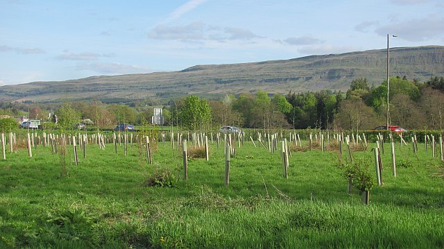
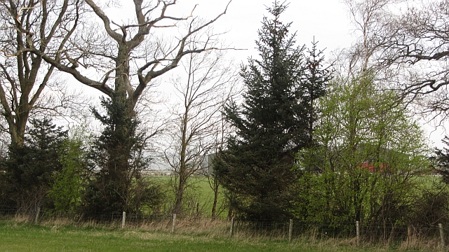
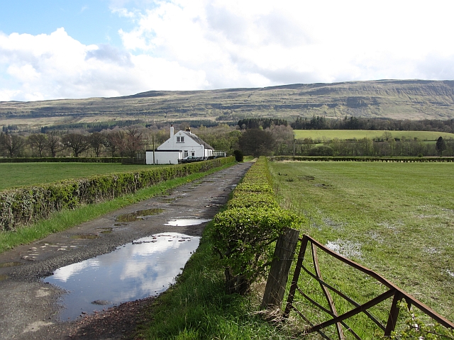
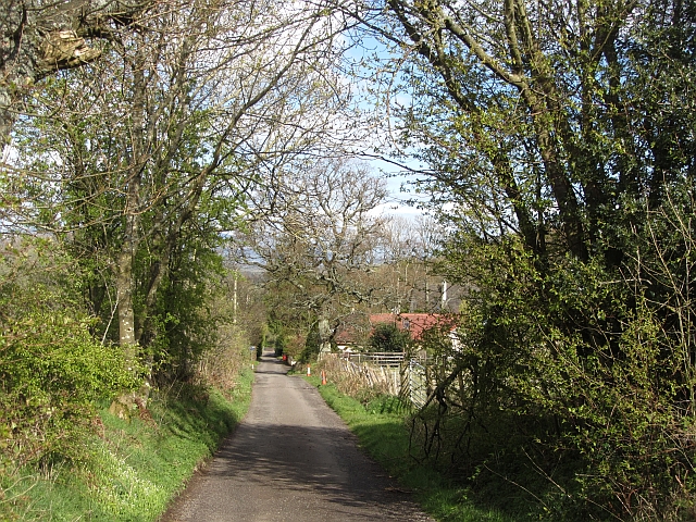
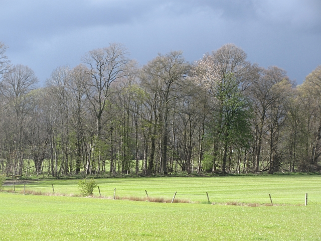
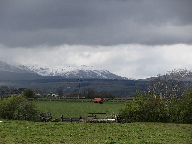
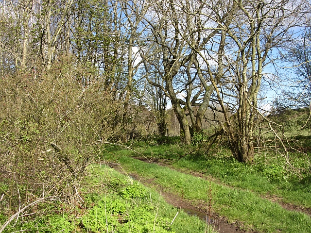
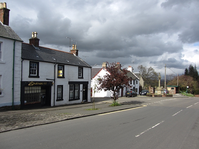
Culmore is a small village located in the county of Stirlingshire, Scotland. Situated in the central part of the country, it is nestled within the picturesque landscape of the Trossachs National Park. The village is set amid rolling hills, dense forests, and serene lochs, offering breathtaking views and a tranquil atmosphere.

Culmore has a population of around 500 residents, making it a close-knit community with a strong sense of belonging. The village primarily consists of traditional stone-built houses, adding to its charming and timeless character. The architecture reflects the area's rich history, with some buildings dating back centuries.

The village is well-connected to the surrounding areas, with good transport links to nearby towns and cities. Stirling, the closest major city, is just a short drive away and offers a range of amenities and services to residents.

Nature enthusiasts and outdoor lovers are drawn to Culmore due to its proximity to the Trossachs National Park. The park provides ample opportunities for hiking, cycling, fishing, and wildlife spotting. Loch Lomond, one of Scotland's largest freshwater lakes, is also easily accessible from the village, making it a popular destination for boating and water sports enthusiasts.

Culmore is a peaceful and scenic village that appeals to those seeking a slower pace of life amidst stunning natural surroundings. Its rich history, beautiful landscapes, and strong sense of community make it an attractive place to live or visit.

If you have any feedback on the listing, please let us know in the comments section below.

Culmore Images

Images are sourced within 2km of 56.138113/-4.1418596 or Grid Reference NS6796. Thanks to Geograph Open Source API. All images are credited.

Myme Farm on Flanders Moss. This was once bog land, but the peat was dug away and floated down the Forth revealing useful arable land. Fortunately some of the bog did survive.
Myme
Farm on Flanders Moss. This was once bog land, but the peat was dug away and floated down the Forth revealing useful arable land. Fortunately some of the bog did survive.
Farmland, Flanders Moss Flat land beside the Forth, it was won for agriculture by digging away peat in the huge bog of Flanders Moss.
Farmland, Flanders Moss
Flat land beside the Forth, it was won for agriculture by digging away peat in the huge bog of Flanders Moss.
Flat farmland, Myme Farm Farm gate signs on land reclaimed from bogs in Flanders Moss.
Flat farmland, Myme Farm
Farm gate signs on land reclaimed from bogs in Flanders Moss.
Flat land, Frew Farmland won from the bogs of Flanders Moss by cutting away the peat and floating it down the Forth.
Flat land, Frew
Farmland won from the bogs of Flanders Moss by cutting away the peat and floating it down the Forth.
Young woodland Trees have recently been planted near Kippen Station.
Young woodland
Trees have recently been planted near Kippen Station.
3 Massey Fergusons Massey Ferguson 5455, Massey Ferguson 4345, Massey Ferguson 3070 at Myme Farm
3 Massey Fergusons
Massey Ferguson 5455, Massey Ferguson 4345, Massey Ferguson 3070 at Myme Farm
Watercourse, Boquhan A burn on the Forth floodplain has wooded banks. The surrounding fields are grass.
Watercourse, Boquhan
A burn on the Forth floodplain has wooded banks. The surrounding fields are grass.
Photovoltaic array, Kippen Station Behind a striking modern building and amongst new woodland there is a set of panels generating electricity.
Photovoltaic array, Kippen Station
Behind a striking modern building and amongst new woodland there is a set of panels generating electricity.
The Carse, Frew This was once a vast bog. The peat was stripped off and floated away into the Forth thus winning arable land.
The Carse, Frew
This was once a vast bog. The peat was stripped off and floated away into the Forth thus winning arable land.
Carse land, Frew A grass field which has been ploughed in the preceding years on former bog land.
Carse land, Frew
A grass field which has been ploughed in the preceding years on former bog land.
Carse near Gargunnock Flat land contrasts with the steep scarp of the basalt Gargunnock Hills.
Carse near Gargunnock
Flat land contrasts with the steep scarp of the basalt Gargunnock Hills.
Fast growing grass Hillside at Kippen, above the sewage treatment plant.
Fast growing grass
Hillside at Kippen, above the sewage treatment plant.
Old Military Road Once the road between Dumbarton and Stirling, now a no through road lane.
Old Military Road
Once the road between Dumbarton and Stirling, now a no through road lane.
Woodland, Boquhan A strip of woodland between grass fields. There is some dairy farming here.
Woodland, Boquhan
A strip of woodland between grass fields. There is some dairy farming here.
Carse near Birkenwood The flood plain of the Forth, once covered in bog is now productive farmland. There had been a heavy snowfall during the previous 12 hours on the hills.
Carse near Birkenwood
The flood plain of the Forth, once covered in bog is now productive farmland. There had been a heavy snowfall during the previous 12 hours on the hills.
Bain's Bog Wood A long wood on the edge of the carse land.
Bain's Bog Wood
A long wood on the edge of the carse land.
River Forth The flood plain contrasts with the great basalt escarpment of the Gargunnock Hills.
River Forth
The flood plain contrasts with the great basalt escarpment of the Gargunnock Hills.
Carse near Bridge of Goodie Former Flanders Moss land now reclaimed for agriculture.
Carse near Bridge of Goodie
Former Flanders Moss land now reclaimed for agriculture.
Show me another place!

Culmore is located at Grid Ref: NS6796 (Lat: 56.138113, Lng: -4.1418596)

Unitary Authority: Stirling

Police Authority: Forth Valley

What 3 Words

///tailwind.surfed.employer. Near Kippen, Stirling

Nearby Locations

Culmore

Related Wikis

Kippen railway station

Kippen railway station co-served the village of Kippen, Stirling, Scotland, from 1856 to 1934 on the Forth and Clyde Junction Railway. == History == The...

Kippen

Kippen is a village in west Stirlingshire, Scotland. It lies between the Gargunnock Hills and the Fintry Hills and overlooks the Carse of Forth to the...

Leckie Broch

Leckie Broch is an iron-age broch located in Stirlingshire, Scotland. == Location == Just above the confluence of two streams with deep gulleys on the...
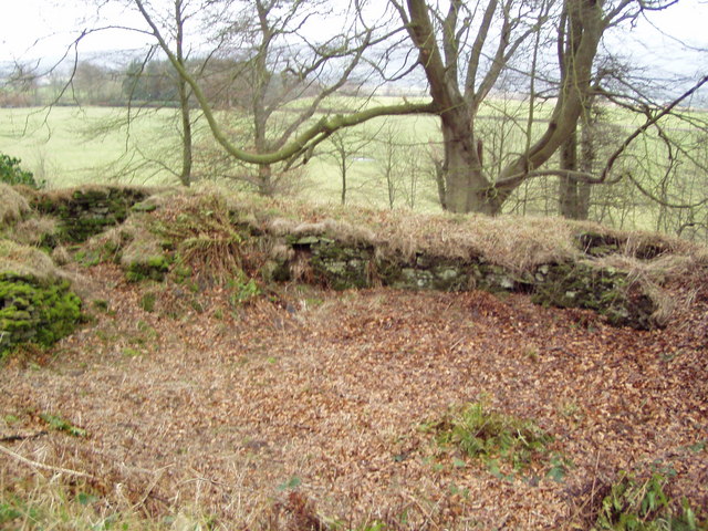
Coldoch Broch

Coldoch Broch is an Iron Age broch located in Stirlingshire in central Scotland (grid reference NS69649813). == Location == Coldoch Broch is located 4...

Nearby Amenities

Located within 500m of 56.138113,-4.1418596
Power: pole
Lat/Long: 56.1404239/-4.1353053
Power: pole
Lat/Long: 56.1398878/-4.1364976
Power: pole
Lat/Long: 56.1395149/-4.1376167
Power: pole
Lat/Long: 56.1391454/-4.138765
Power: pole
Lat/Long: 56.138699/-4.1401142
Power: pole
Lat/Long: 56.1384799/-4.1407898
Power: pole
Lat/Long: 56.1381699/-4.1416537
Power: pole
Lat/Long: 56.1376885/-4.1428983
Power: pole
Lat/Long: 56.1372258/-4.1440508
Power: pole
Lat/Long: 56.1367631/-4.1452452
Power: pole
Lat/Long: 56.1365743/-4.1460443
Power: pole
Lat/Long: 56.1363761/-4.1469521
Power: pole
Lat/Long: 56.1361197/-4.148159
Power: pole
Lat/Long: 56.1388907/-4.1492666
Power: pole
Lat/Long: 56.1384327/-4.141159
Power: pole
Lat/Long: 56.1389141/-4.1419622
Power: pole
Lat/Long: 56.1391856/-4.1424266
Power: pole
Lat/Long: 56.1391425/-4.1433135
Power: pole
Lat/Long: 56.1390865/-4.1445727
Power: pole
Lat/Long: 56.1398394/-4.1447212
Power: pole
Lat/Long: 56.1406168/-4.1448865
Power: pole
Lat/Long: 56.1414267/-4.1450538
Power: pole
Lat/Long: 56.1421924/-4.1452003
Power: pole
Lat/Long: 56.1386407/-4.1449043
Power: pole
Lat/Long: 56.138044/-4.1450842
Power: pole
Lat/Long: 56.137241/-4.1455632
Power: pole
Lat/Long: 56.1366582/-4.1462514
Power: pole
Lat/Long: 56.135995/-4.1470211
Power: pole
Lat/Long: 56.1353807/-4.1477637
Power: pole
Lat/Long: 56.1348737/-4.1472742
Power: pole
Lat/Long: 56.1352269/-4.1462932
Power: pole
Lat/Long: 56.1352549/-4.1453017
Power: pole
Lat/Long: 56.1352665/-4.1443416
Power: pole
Lat/Long: 56.1352863/-4.1433857
Power: pole
Lat/Long: 56.1352957/-4.1424988
Power: pole
Lat/Long: 56.1351325/-4.1417248
Power: pole
Lat/Long: 56.135326/-4.1408651
Power: pole
Lat/Long: 56.1353434/-4.1397837
Power: pole
Lat/Long: 56.1353621/-4.1387148
Power: pole
Lat/Long: 56.1353796/-4.1376543
Power: pole
Lat/Long: 56.1353994/-4.136554
Power: pole
Lat/Long: 56.1354145/-4.1354705
The data included in this document is from www.openstreetmap.org. The data is made available under ODbL.

Have you been to Culmore?

Leave your review of Culmore below (or comments, questions and feedback).