Kyloe Wood
Wood, Forest in Northumberland
England
Kyloe Wood

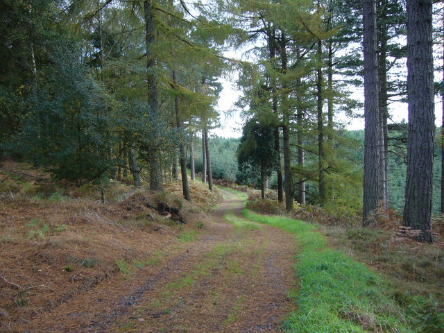
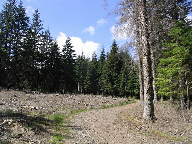
Kyloe Wood is a beautiful forest located in Northumberland, England. Covering an area of approximately 45 hectares, it is a popular destination for nature enthusiasts and outdoor adventurers. The wood is situated near the village of Kyloe, which is known for its picturesque surroundings and rich history.
The woodland is predominantly made up of mixed broadleaf trees, including oak, ash, and beech. These towering trees create a dense canopy, providing shade and shelter for a variety of flora and fauna. The forest floor is adorned with an array of wildflowers, ferns, and mosses, adding to the enchanting atmosphere of the wood.
Kyloe Wood boasts a network of well-maintained trails, allowing visitors to explore its hidden gems. Hiking and walking trails wind through the forest, offering opportunities to witness the diverse wildlife that inhabits the area. Birdwatchers can spot various species, such as woodpeckers, owls, and warblers, while animal lovers may encounter red squirrels, deer, and rabbits.
In addition to its natural beauty, Kyloe Wood also holds historical significance. The remains of a medieval motte-and-bailey castle can be found within the wood, providing a glimpse into the region's past.
Overall, Kyloe Wood is a captivating destination that offers a tranquil escape into nature. With its lush vegetation, diverse wildlife, and intriguing history, it provides a delightful experience for visitors of all ages.
If you have any feedback on the listing, please let us know in the comments section below.
Kyloe Wood Images
Images are sourced within 2km of 55.640515/-1.9236716 or Grid Reference NU0438. Thanks to Geograph Open Source API. All images are credited.


Kyloe Wood is located at Grid Ref: NU0438 (Lat: 55.640515, Lng: -1.9236716)
Unitary Authority: Northumberland
Police Authority: Northumbria
What 3 Words
///humidity.magnets.partly. Near Lowick, Northumberland
Nearby Locations
Related Wikis

Kyloe
Kyloe is a civil parish in the county of Northumberland, about 8 miles (13 km) south-east of Berwick-upon-Tweed. According to the parish council, the main...

Holburn Lake and Moss
Holburn Lake and Moss is a nature reserve in Northumberland, England to the east of the village of Holburn. Nearby is St Cuthbert's Cave. == The lake... ==

Holburn
Holburn is a hamlet in the English county of Northumberland. Holburn is located between Lowick and Belford. == Governance == Holburn is in the parliamentary...
Fenwick, Kyloe
Fenwick is a small hamlet in the civil parish of Kyloe near Berwick-upon-Tweed and has a population of approx 400. Fenwick lies only three miles from Holy...

Buckton, Northumberland
Buckton is a small village in Northumberland, North East England, located just over 5 km north of Belford.Buckton consists of a farm and a few cottages...
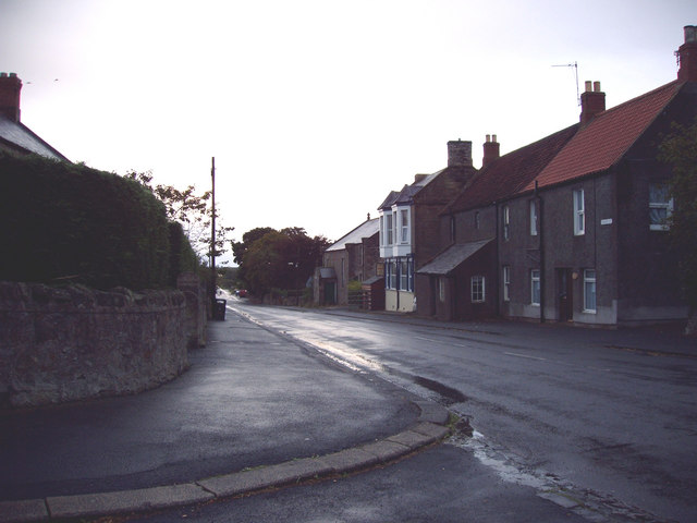
Lowick, Northumberland
Lowick () is a village in Northumberland, north east England. Lowick lies on the B6353 road, about 10 miles (16 km) south of Berwick-upon-Tweed. The Anglican...

Middleton, Northumberland
Middleton is a settlement and civil parish in Northumberland, England. The parish is situated on the North Sea coast, south of the island of Lindisfarne...
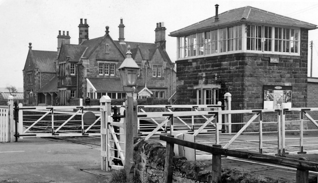
Beal railway station
Beal railway station, also known as Beal for Holy Island railway station, was a railway station that served the village of Beal, Northumberland, England...
Nearby Amenities
Located within 500m of 55.640515,-1.9236716Have you been to Kyloe Wood?
Leave your review of Kyloe Wood below (or comments, questions and feedback).