Baker's Wood
Wood, Forest in Gloucestershire Cotswold
England
Baker's Wood

Baker's Wood is a charming woodland located in the county of Gloucestershire, England. Situated in the heart of the Forest of Dean, this woodland area spans approximately 50 acres and is known for its natural beauty and tranquil atmosphere.
The wood is predominantly made up of a variety of deciduous trees, such as oak, beech, and ash, which create a lush and vibrant canopy during the spring and summer seasons. In autumn, the trees burst into a spectacular display of colors, attracting visitors from all around.
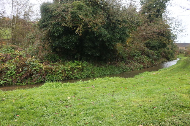
The woodland is crisscrossed by a network of well-maintained footpaths, allowing visitors to explore the area at their own pace. These paths lead to various points of interest, including a picturesque stream that meanders through the wood, providing a peaceful backdrop for picnics or moments of relaxation.
Baker's Wood is also home to a diverse range of wildlife, making it a popular spot for nature enthusiasts. Visitors may catch a glimpse of deer, foxes, badgers, and a wide variety of bird species, such as woodpeckers and owls.
The wood is managed by a local conservation group, ensuring the preservation of its natural features and promoting sustainable practices. Educational programs and guided tours are available, offering visitors the opportunity to learn more about the woodland's ecology and history.
Overall, Baker's Wood in Gloucestershire is a delightful destination for those seeking a peaceful retreat in nature, with its enchanting woodland, scenic walking trails, and abundant wildlife.
If you have any feedback on the listing, please let us know in the comments section below.
Baker's Wood Images
Images are sourced within 2km of 51.902706/-1.9335593 or Grid Reference SP0422. Thanks to Geograph Open Source API. All images are credited.


Baker's Wood is located at Grid Ref: SP0422 (Lat: 51.902706, Lng: -1.9335593)
Administrative County: Gloucestershire
District: Cotswold
Police Authority: Gloucestershire
What 3 Words
///cafe.hound.chickens. Near Westfield, Gloucestershire
Nearby Locations
Related Wikis
Brockhampton, Gloucestershire
Brockhampton is a small village east of Cheltenham in Gloucestershire, England. It forms part of the parish of Sevenhampton.In the 2001 census the parish...
Hawling Manor, Gloucestershire
Hawling Manor in Hawling, Gloucestershire is a Grade II listed building. == History == Information from Country Life states that the manor "was held in...

Sevenhampton, Gloucestershire
Sevenhampton is a village and civil parish in Cotswold District, Gloucestershire. The parish is located in the Cotswolds in an area designated as an Area...
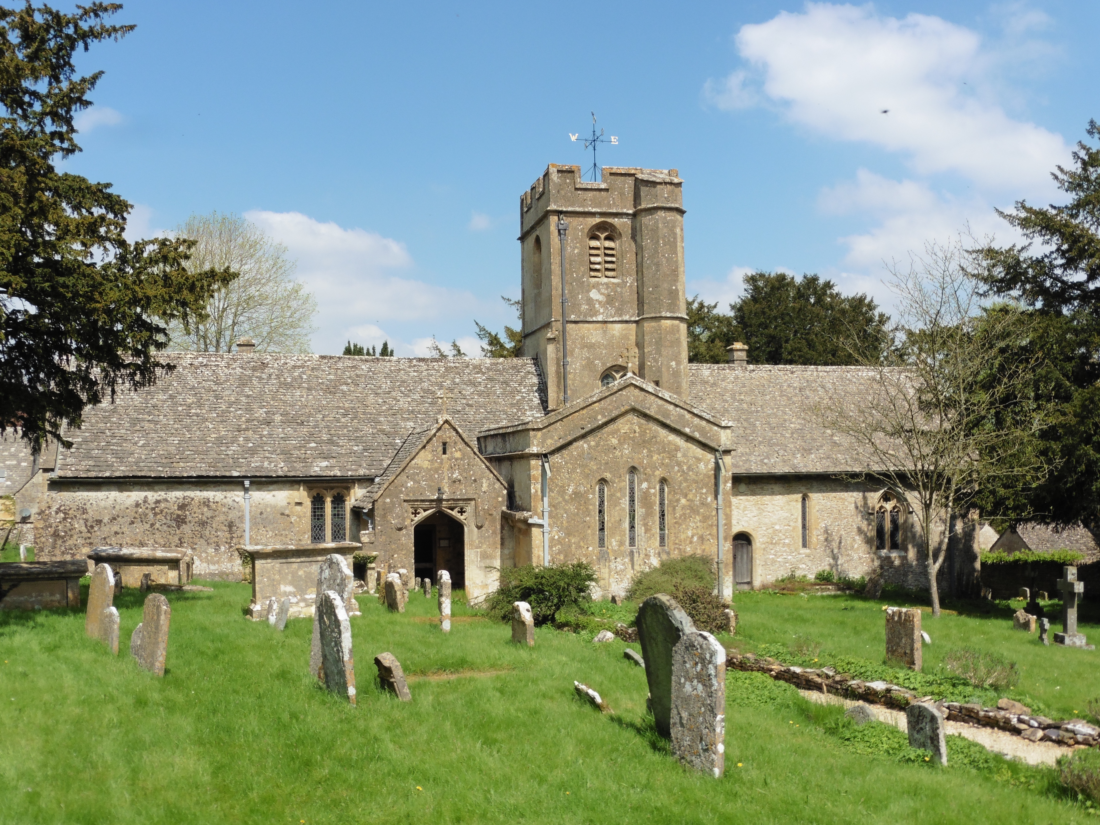
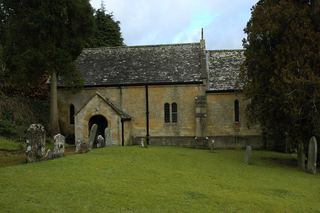
Church of St Andrew, Sevenhampton
The Anglican Church of St Andrew at Sevenhampton in the Cotswold District of Gloucestershire, England was built in the 12th century. It is a grade I listed...
Charlton Abbots
Charlton Abbots is a village and former civil parish 12 miles (19 km) east of Gloucester, now in the parish of Sudeley, in the Tewkesbury district, in...

Hawling
Hawling is a small village and civil parish in the Cotswolds of England, close to Bourton-on-the-Water and Guiting Power. The Church, the Elizabethan manor...

Hampen Railway Cutting
Hampen Railway Cutting (grid reference SP062205) is a 3.9-hectare (9.6-acre) geological Site of Special Scientific Interest in Gloucestershire, notified...

Spoonley Wood Roman Villa
Spoonley Wood Roman Villa is an ancient Roman villa located 2 km south-east of Sudeley Castle near the town of Winchcombe, in Gloucestershire, England...
Related Videos
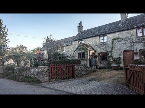
A Tranquil Early Autumn Walk in a Cotswold Village
So, today we are out and about walking in the Cotswold village of Brockhampton which is part of Sevenhampton's parish and is in ...
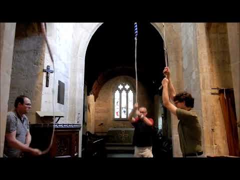
Original Singles at Sevenhampton, Gloucestershire
An extract from a peal (yes, really!) on this Gloucestershire 3 - comprising extents 44-53 of 840. The peal was arranged and rung ...

Brockhampton, The Cotswolds | Puebleando por Inglaterra 03
En esta nueva sección muestro mi manera de viajar con mi bicicleta y de mochilero, demostrando como hasta el pueblo más ...
Nearby Amenities
Located within 500m of 51.902706,-1.9335593Have you been to Baker's Wood?
Leave your review of Baker's Wood below (or comments, questions and feedback).