Breakneck Plantation
Wood, Forest in Gloucestershire Cotswold
England
Breakneck Plantation

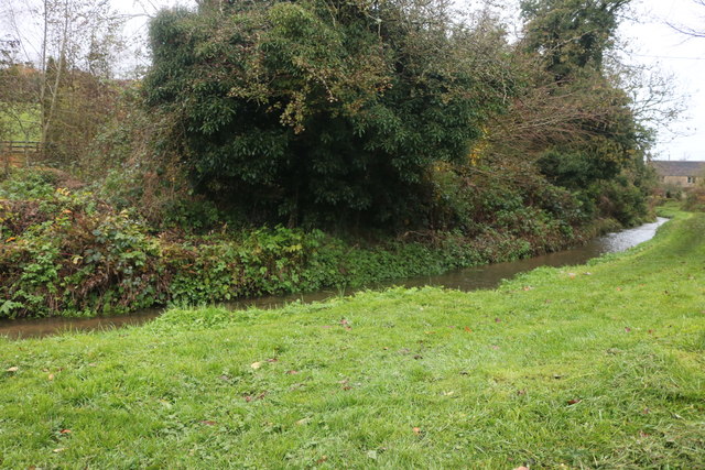
Breakneck Plantation is a woodland area located in Gloucestershire, England. Situated in the Forest of Dean, it covers a vast expanse of approximately 500 acres. The plantation is renowned for its dense and diverse collection of trees, providing a haven for a wide range of flora and fauna.
The woodland is primarily composed of native species such as oak, beech, and birch, with occasional coniferous trees scattered throughout. This mix of deciduous and evergreen trees creates a visually striking landscape that changes dramatically with the seasons.
Breakneck Plantation offers a variety of walking trails and paths that allow visitors to explore the woodland. These trails are well-maintained, making it accessible for people of all ages and abilities. The paths wind through the woodland, offering glimpses of picturesque streams, wildflowers, and wildlife along the way.
The plantation is a popular destination for nature enthusiasts, hikers, and photographers. It provides a peaceful escape from the hustle and bustle of everyday life, allowing visitors to immerse themselves in the tranquility of nature. The plantation also acts as an important habitat for a range of wildlife, including birds, mammals, and insects, making it a hotspot for wildlife observation and photography.
Breakneck Plantation is open to the public throughout the year, with no entrance fee. It offers ample parking facilities and picnic areas for visitors to relax and enjoy the surroundings. Whether for a leisurely stroll or a more adventurous hike, Breakneck Plantation is a must-visit destination for those seeking natural beauty and a connection with the great outdoors.
If you have any feedback on the listing, please let us know in the comments section below.
Breakneck Plantation Images
Images are sourced within 2km of 51.901666/-1.9395635 or Grid Reference SP0422. Thanks to Geograph Open Source API. All images are credited.


Breakneck Plantation is located at Grid Ref: SP0422 (Lat: 51.901666, Lng: -1.9395635)
Administrative County: Gloucestershire
District: Cotswold
Police Authority: Gloucestershire
What 3 Words
///access.town.rocket. Near Westfield, Gloucestershire
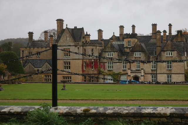
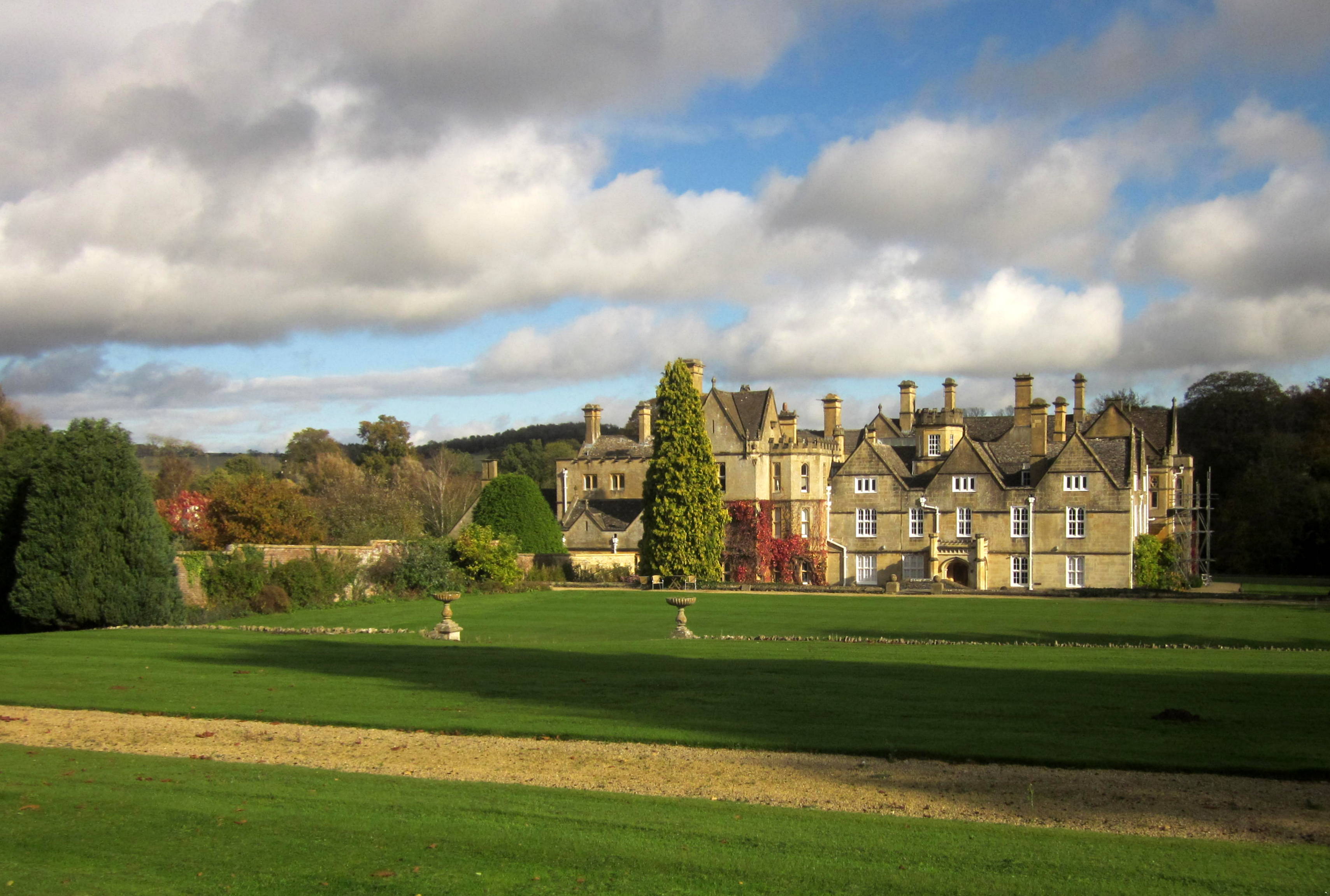
Nearby Locations
Related Wikis
Brockhampton, Gloucestershire
Brockhampton is a small village east of Cheltenham in Gloucestershire, England. It forms part of the parish of Sevenhampton.In the 2001 census the parish...
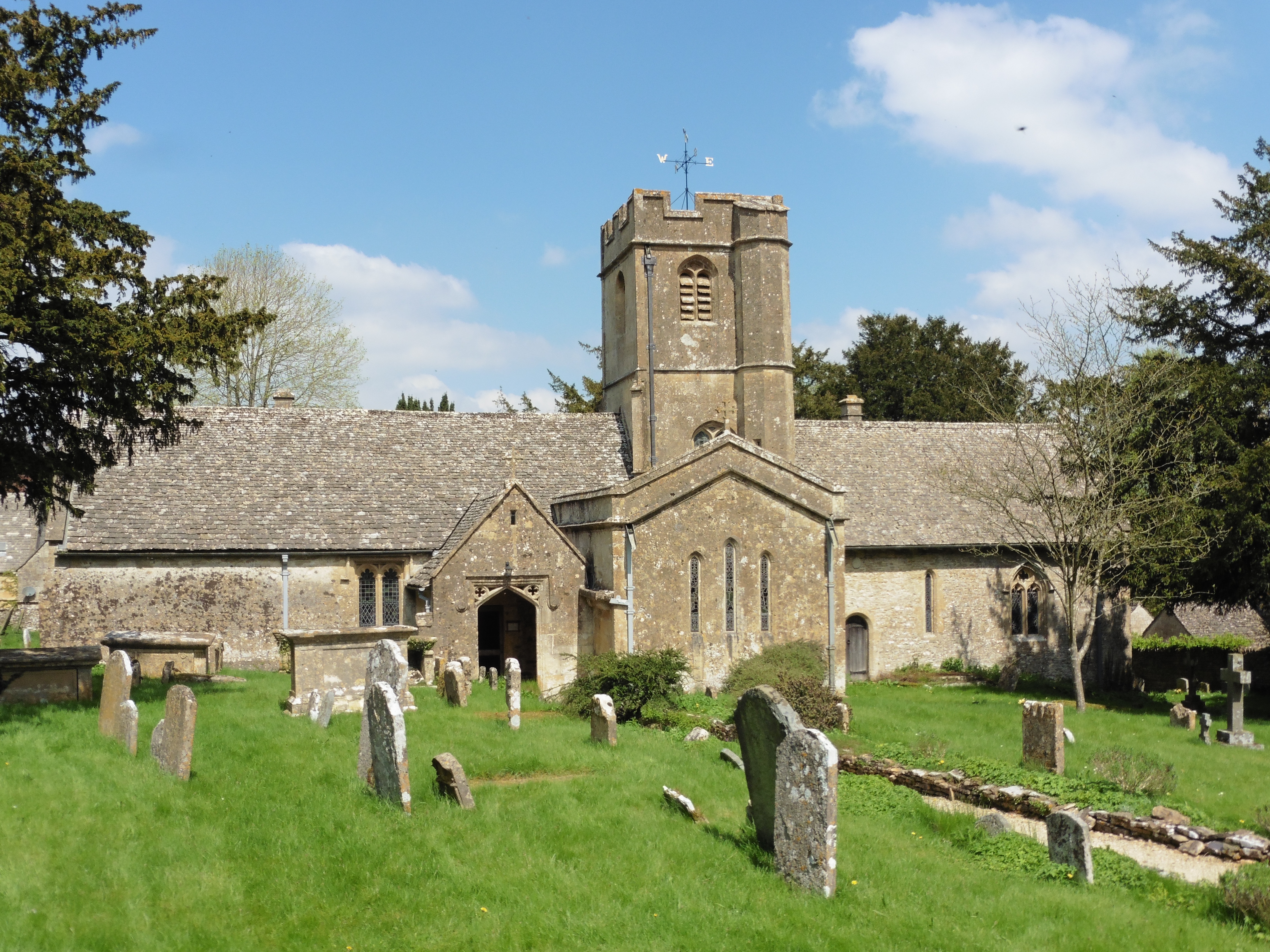
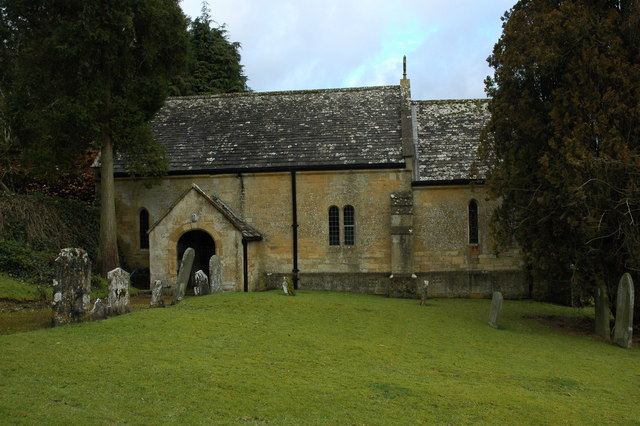
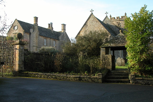
Church of St Andrew, Sevenhampton
The Anglican Church of St Andrew at Sevenhampton in the Cotswold District of Gloucestershire, England was built in the 12th century. It is a grade I listed...

Sevenhampton, Gloucestershire
Sevenhampton is a village and civil parish in Cotswold District, Gloucestershire. The parish is located in the Cotswolds in an area designated as an Area...
Charlton Abbots
Charlton Abbots is a village and former civil parish 12 miles (19 km) east of Gloucester, now in the parish of Sudeley, in the Tewkesbury district, in...
Hawling Manor, Gloucestershire
Hawling Manor in Hawling, Gloucestershire is a Grade II listed building. == History == Information from Country Life states that the manor "was held in...

Hawling
Hawling is a small village and civil parish in the Cotswolds of England, close to Bourton-on-the-Water and Guiting Power. The Church, the Elizabethan manor...

Hampen Railway Cutting
Hampen Railway Cutting (grid reference SP062205) is a 3.9-hectare (9.6-acre) geological Site of Special Scientific Interest in Gloucestershire, notified...

Spoonley Wood Roman Villa
Spoonley Wood Roman Villa is an ancient Roman villa located 2 km south-east of Sudeley Castle near the town of Winchcombe, in Gloucestershire, England...
Nearby Amenities
Located within 500m of 51.901666,-1.9395635Have you been to Breakneck Plantation?
Leave your review of Breakneck Plantation below (or comments, questions and feedback).