Catchwater Plantation
Wood, Forest in Durham
England
Catchwater Plantation

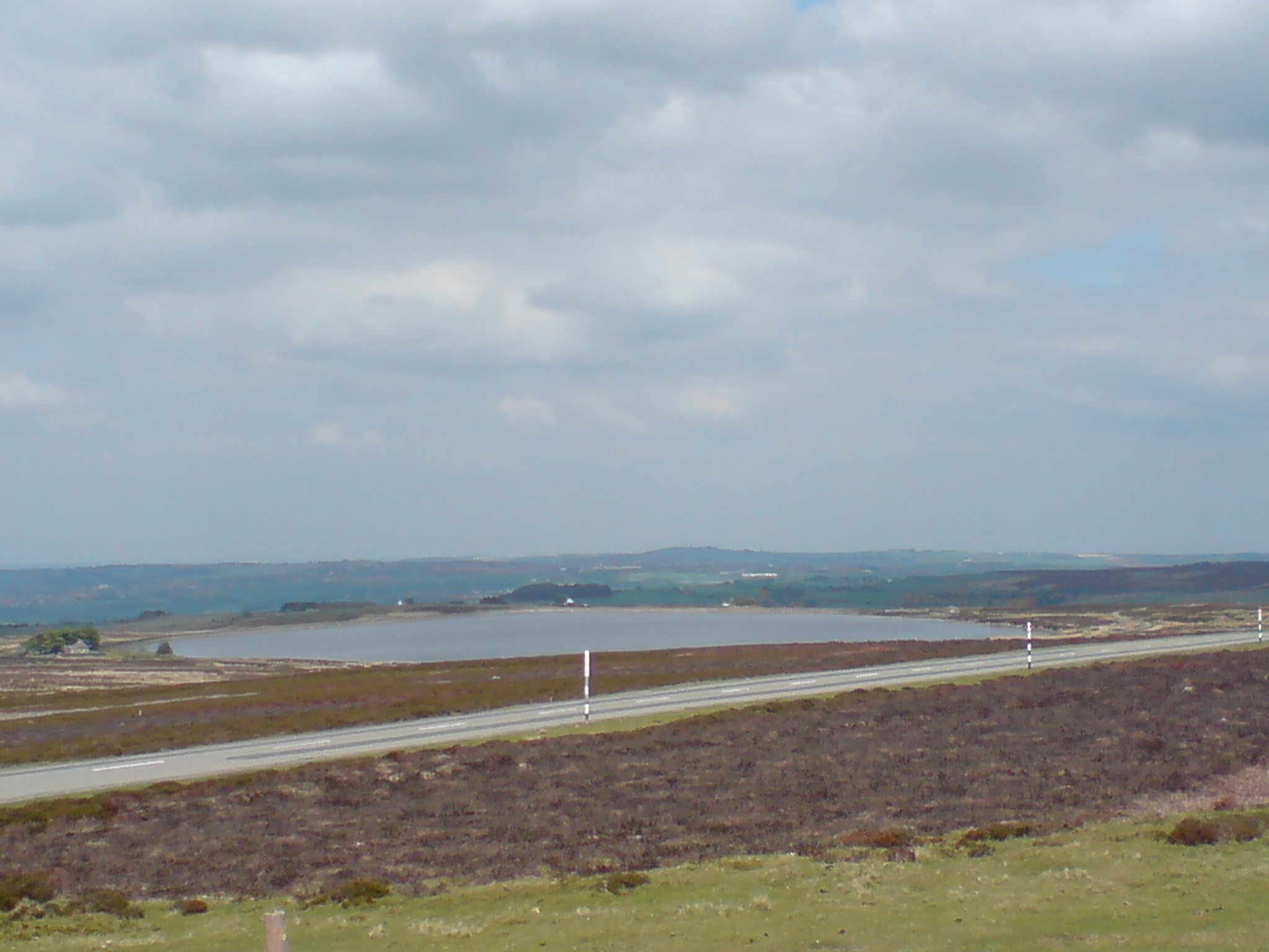
Catchwater Plantation is a picturesque woodland situated in Durham, England. Nestled within the sprawling countryside, this plantation boasts a diverse range of trees and flora, making it a haven for nature enthusiasts and hikers alike. The plantation covers a vast area, with its dense forest covering approximately 500 acres.
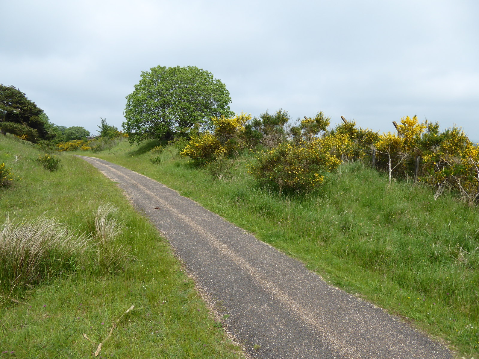
The woodland at Catchwater Plantation is predominantly composed of native species such as oak, beech, and birch trees, which create a stunning canopy of green throughout the seasons. These trees provide a habitat for numerous bird species, including woodpeckers, owls, and finches, making it a popular spot for birdwatching enthusiasts.
Traversing through the plantation, visitors can also find a network of well-maintained walking trails, offering the opportunity to explore the natural beauty of the area. The paths wind through the woodland, providing stunning views of the surrounding landscape and glimpses of wildlife along the way.
Catchwater Plantation is also home to a variety of wildflowers, adding vibrant pops of color to the forest floor. Bluebells, primroses, and foxgloves are just a few examples of the flora that can be spotted during the spring and summer months.
For those seeking a tranquil escape from the hustle and bustle of daily life, Catchwater Plantation offers a serene retreat. Whether it's a leisurely stroll, a family picnic, or a chance to immerse oneself in the wonders of nature, this woodland sanctuary has something to offer to everyone.
If you have any feedback on the listing, please let us know in the comments section below.
Catchwater Plantation Images
Images are sourced within 2km of 54.773782/-1.9324259 or Grid Reference NZ0442. Thanks to Geograph Open Source API. All images are credited.


Catchwater Plantation is located at Grid Ref: NZ0442 (Lat: 54.773782, Lng: -1.9324259)
Unitary Authority: County Durham
Police Authority: Durham
What 3 Words
///rekindle.prickly.adjuster. Near Wolsingham, Co. Durham
Nearby Locations
Related Wikis

Backstone Bank and Baal Hill Woods
Backstone Bank and Baal Hill Woods is a Site of Special Scientific Interest in the County Durham district of Durham, England. It occupies the steep eastern...
Waskerley
Waskerley is a village in County Durham, England. It is situated six miles to the southwest of Consett and three miles southwest of Castleside and the...
Burnhill railway station
Burnhill railway station served the village of Waskerley, County Durham, England, from 1859 to 1939 on the Stanhope and Tyne Railway. == History == The...

Waskerley railway station
Waskerley railway station, also known as Waskerley Park, served the village of Waskerley, County Durham, England from 1845 to 1859 on the Stanhope and...

River Browney
The River Browney is a river in County Durham, England, and the largest tributary of the River Wear. The River Browney rises from a spring in Head Plantation...

Blanchland railway station
Blanchland railway station served the village of Blanchland, Northumberland, England, from 1845 to 1965 on the Stanhope and Tyne Railway. == History... ==
Weardale Rural District
Weardale was a rural district in County Durham, England from 1894 to 1974. It was formed under the Local Government Act 1894 as a successor to the Weardale...
Crawley Edge Cairns
The Crawley Edge Cairns are a series of forty-two Bronze Age round barrows, cairns and clearance cairns located in a field in Crawleyside, near Stanhope...
Nearby Amenities
Located within 500m of 54.773782,-1.9324259Have you been to Catchwater Plantation?
Leave your review of Catchwater Plantation below (or comments, questions and feedback).