Cornlands Wood
Wood, Forest in Yorkshire Richmondshire
England
Cornlands Wood
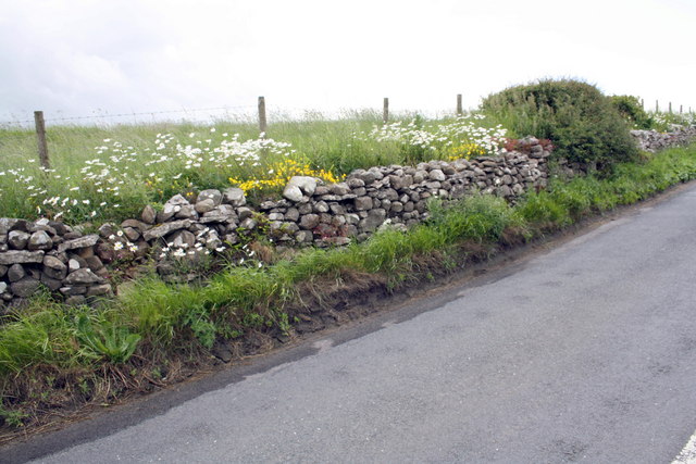
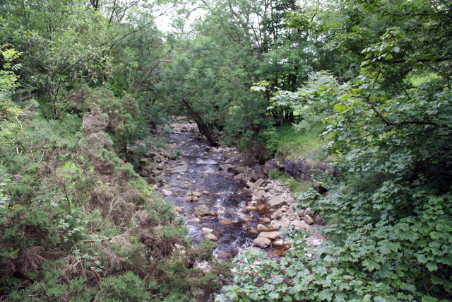
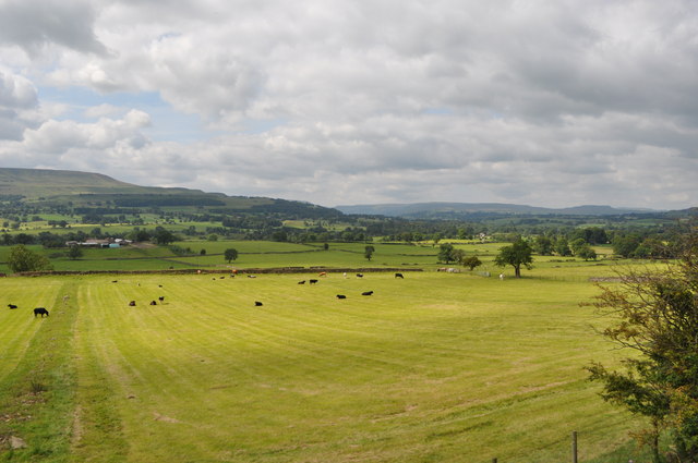
Cornlands Wood is a picturesque woodland located in Yorkshire, England. Covering an area of approximately 100 acres, it is a popular destination for nature enthusiasts and outdoor lovers. The wood can be found near the village of Wheldrake, nestled within the verdant and rolling landscape of the Yorkshire countryside.
This ancient woodland is rich in biodiversity, boasting a diverse range of plant and animal species. It features a mix of deciduous and coniferous trees, including oak, beech, birch, and pine, which create a vibrant and lush canopy overhead. The forest floor is carpeted with wildflowers, ferns, and mosses, adding to its natural beauty.
Cornlands Wood is crisscrossed by a network of well-maintained footpaths, allowing visitors to explore and appreciate its tranquility. These paths wind through the wood, providing opportunities to observe the wildlife and admire the various plant species. The wood is also home to several species of birds, including woodpeckers, owls, and various songbirds, making it a haven for birdwatchers.
In addition to its natural wonders, Cornlands Wood offers recreational facilities such as picnic areas and seating, making it an ideal spot for family outings and leisurely walks. Local organizations also organize educational events and guided walks for visitors, aiming to promote an understanding and appreciation of the woodland's ecological significance.
Overall, Cornlands Wood is a treasured natural gem in Yorkshire, offering a peaceful and enchanting environment for visitors to escape the hustle and bustle of everyday life, connect with nature, and enjoy the beauty of Yorkshire's woodlands.
If you have any feedback on the listing, please let us know in the comments section below.
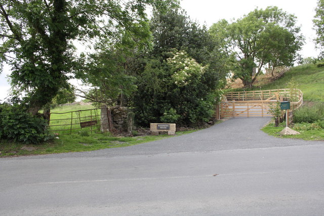
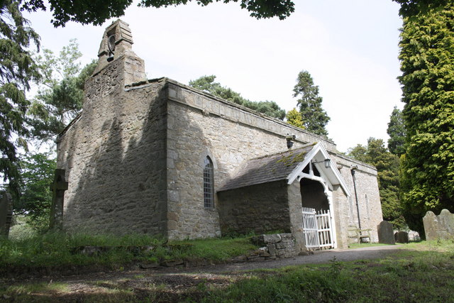
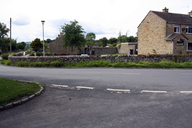
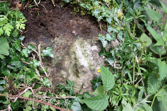
Cornlands Wood Images
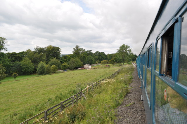
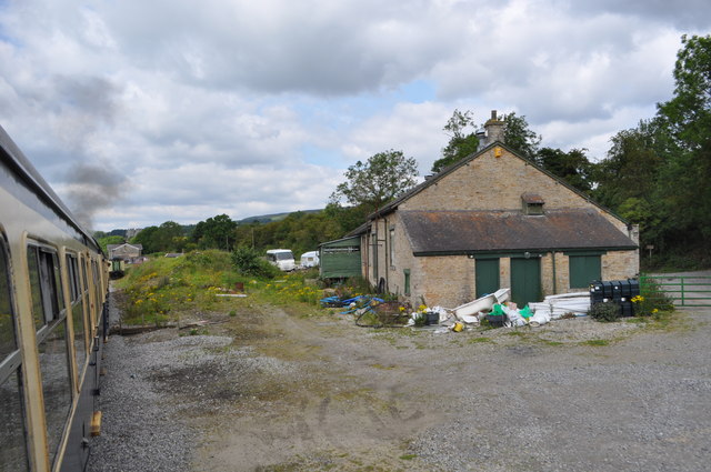
Images are sourced within 2km of 54.305639/-1.9332534 or Grid Reference SE0490. Thanks to Geograph Open Source API. All images are credited.
Cornlands Wood is located at Grid Ref: SE0490 (Lat: 54.305639, Lng: -1.9332534)
Division: North Riding
Administrative County: North Yorkshire
District: Richmondshire
Police Authority: North Yorkshire
What 3 Words
///appoints.depend.sugar. Near Leyburn, North Yorkshire
Nearby Locations
Related Wikis

St Mary's Church, Redmire
St Mary's Church, Redmire is a Grade II* listed parish church in the Church of England: 289 in Redmire, North Yorkshire. == History == The church dates...

Swinithwaite
Swinithwaite is a hamlet in the Yorkshire Dales, North Yorkshire, England. It lies on the A684 road, 2 miles (3.2 km) miles east of Aysgarth.The hamlet...

Redmire
Redmire is a village and civil parish in North Yorkshire, England. It is about 4 miles (6.4 km) west of Leyburn in Wensleydale in the Yorkshire Dales....

Penhill Preceptory
Penhill Preceptory was a priory on the northern flanks of Penhill in Wensleydale, North Yorkshire, England, which functioned from about 1142 to 1308–12...
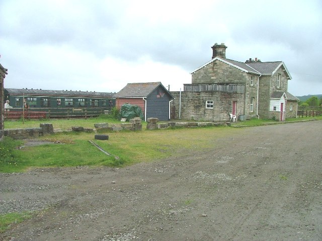
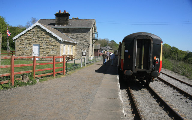
Redmire railway station
Redmire railway station is the current western terminus of the Wensleydale Railway and serves the village of Redmire in North Yorkshire, England. It is...

Bishopdale Beck
Bishopdale Beck is a major tributary of the River Ure in North Yorkshire, England. The beck flows down Bishopdale, a side valley of Wensleydale in the...

Bolton Castle
Bolton Castle is a 14th-century castle located in Wensleydale, Yorkshire, England (grid reference SE03379183). The nearby village of Castle Bolton takes...

Castle Bolton
Castle Bolton is a village in North Yorkshire, England. It is in Wensleydale, one of the Yorkshire Dales. The village takes its name from Bolton Castle...
Nearby Amenities
Located within 500m of 54.305639,-1.9332534Have you been to Cornlands Wood?
Leave your review of Cornlands Wood below (or comments, questions and feedback).