Bell Copse

Wood, Forest in Wiltshire

England

Bell Copse

Spine Road (West), heading west
Spine Road (West), heading west Credit: Robin Webster

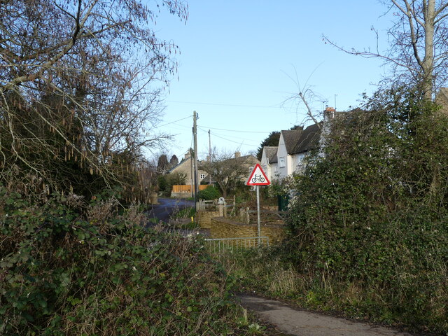
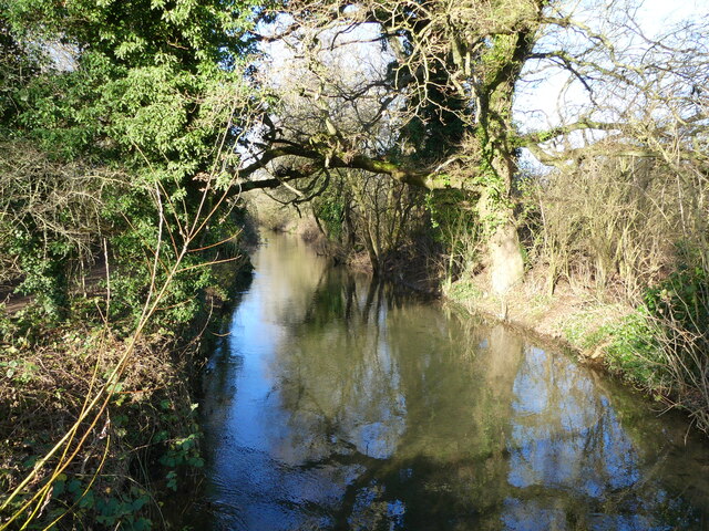
Bell Copse is a charming woodland area located in the picturesque county of Wiltshire, England. Covering an expansive area of approximately 30 acres, this beautiful copse is renowned for its serene and peaceful atmosphere, making it a popular destination for nature enthusiasts and hikers alike.

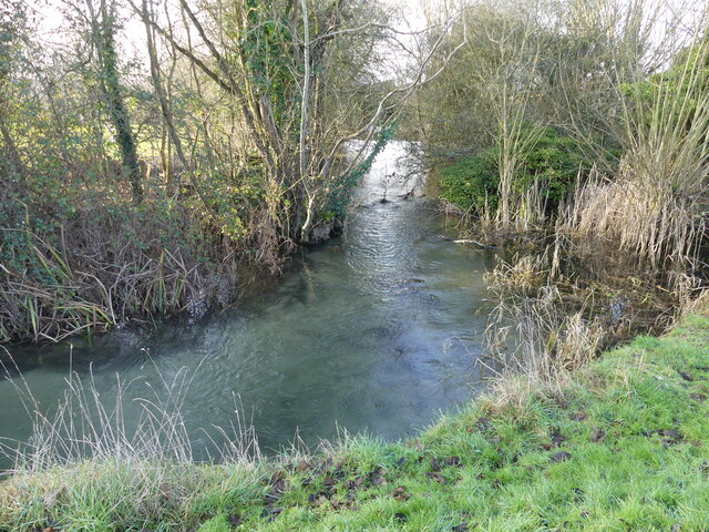
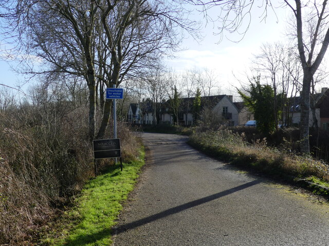
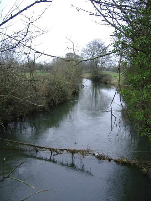
Situated just a few miles outside the historic town of Marlborough, Bell Copse is easily accessible and attracts visitors from near and far. The copse is predominantly made up of broadleaf trees, including oak, beech, and ash, which create a dense and lush canopy overhead, providing shelter and a habitat for a plethora of wildlife.

The forest floor is carpeted with a diverse range of flora, such as bluebells, wild garlic, and ferns, adding a vibrant burst of color to the woodland during the spring and summer months. This rich variety of plant life attracts a wide array of bird species, including woodpeckers, thrushes, and warblers, making it a paradise for birdwatchers.

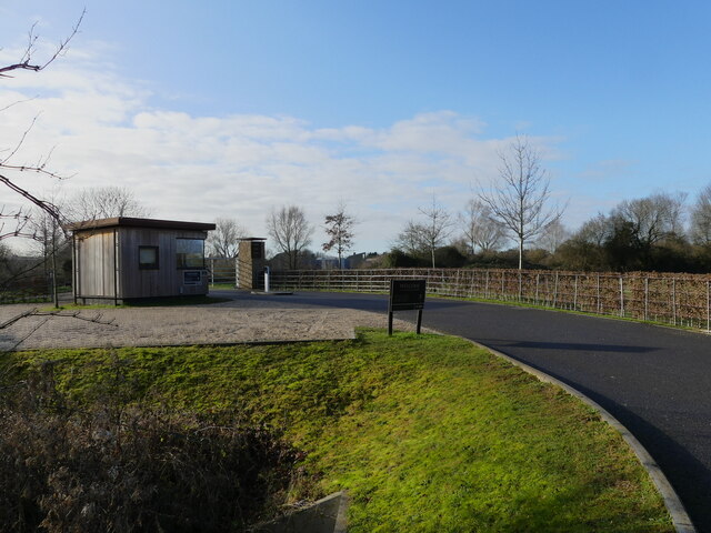
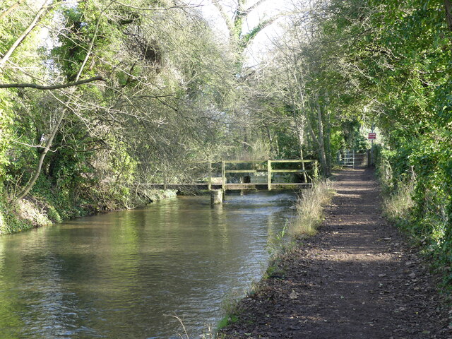
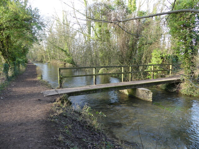
In addition to its natural beauty, Bell Copse also boasts several well-maintained walking paths and trails, allowing visitors to explore the woods at their own pace. The copse is also home to a small picnic area, providing the perfect spot for visitors to relax and enjoy the tranquility of the surroundings.

Overall, Bell Copse offers a delightful escape from the hustle and bustle of everyday life, providing visitors with a chance to immerse themselves in the beauty of nature and enjoy the peaceful ambiance of this enchanting woodland.

If you have any feedback on the listing, please let us know in the comments section below.
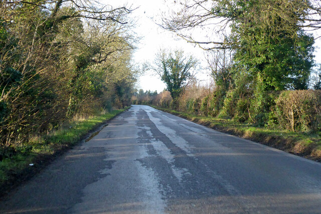
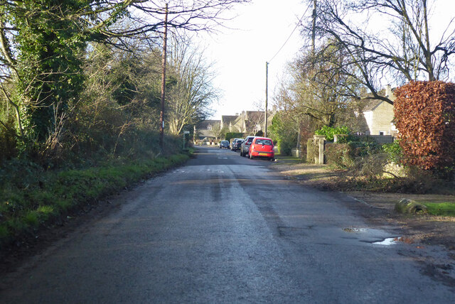
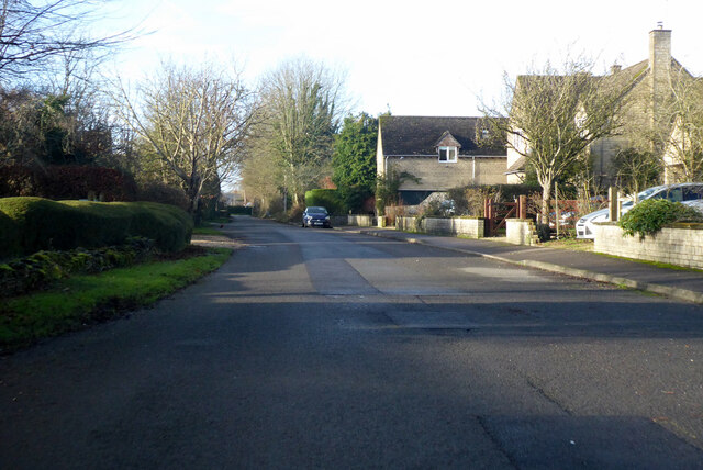
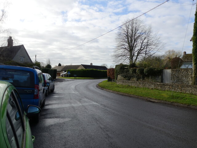
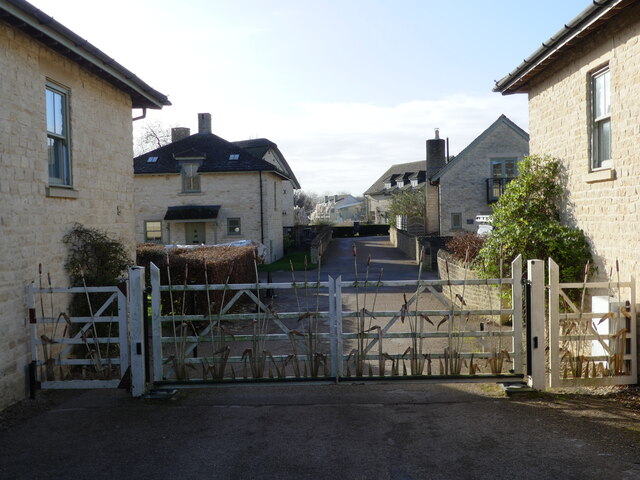
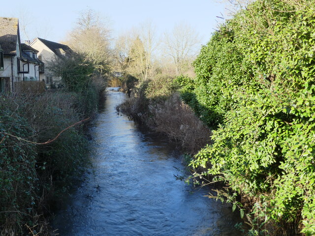
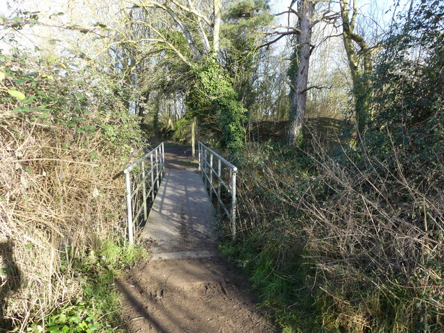
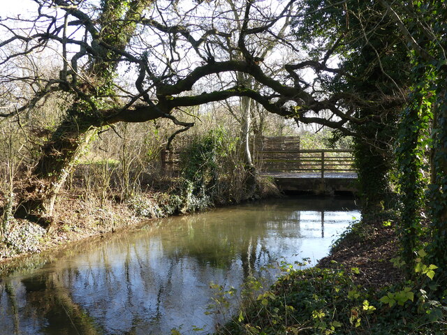
Bell Copse Images

Images are sourced within 2km of 51.650297/-1.944233 or Grid Reference SU0394. Thanks to Geograph Open Source API. All images are credited.

Spine Road (West), heading west
Water Lane, Somerford Keynes
Bend in the road, Somerford Keynes The junction to the left beyond the parked cars is with Mill Lane, which gives access to the Thames Path.
Bend in the road, Somerford Keynes
The junction to the left beyond the parked cars is with Mill Lane, which gives access to the Thames Path.
Access path from the road to Mill Lane, Somerford Keynes Opposite this path, across the road, is a road that forms part of the Thames Path.
Access path from the road to Mill Lane, Somerford Keynes
Opposite this path, across the road, is a road that forms part of the Thames Path.
New access road to the Lower Mill Estate, Somerford Keynes The estate lies between the youthful River Thames and the gravel pit lakes prevalent in this area.
New access road to the Lower Mill Estate, Somerford Keynes
The estate lies between the youthful River Thames and the gravel pit lakes prevalent in this area.
Bend in the youthful River Thames beside the Thames Path, Somerford Keynes I hesitate to describe this as a "meander" - which would be the usual term for a bend in the river, as the course has been so heavily "managed" in this area.
Bend in the youthful River Thames beside the Thames Path, Somerford Keynes
I hesitate to describe this as a "meander" - which would be the usual term for a bend in the river, as the course has been so heavily "managed" in this area.
The Thames Path - approaching where the tarmac ends, Somerford Keynes
Gated road to Lower Mill Estate, Somerford Keynes The photo was taken from a bridge over the youthful River Thames <a href="https://www.geograph.org.uk/photo/7078594">SU0294 : The youthful River Thames seen from a bridge to the Lower Mill Estate, Somerford Keynes</a>.
Gated road to Lower Mill Estate, Somerford Keynes
The photo was taken from a bridge over the youthful River Thames SU0294 : The youthful River Thames seen from a bridge to the Lower Mill Estate, Somerford Keynes.
The youthful River Thames seen from a bridge to the Lower Mill Estate, Somerford Keynes
Footbridge over the River Thames, on the Thames Path near Somerford Keynes
Bridge over the River Thames, seen from the Thames Path, near Somerford Keynes
The River Thames seen from a bridge, near Somerford Keynes This bridge intersects with the Thames Path.
The River Thames seen from a bridge, near Somerford Keynes
This bridge intersects with the Thames Path.
Footbridge and track bridge across the River Thames, near Ashton Keynes The footpath is the Thames Path.
Footbridge and track bridge across the River Thames, near Ashton Keynes
The footpath is the Thames Path.
Footbridge seen from beside track bridge over the River Thames, near Ashton Keynes
Junction of track with the Thames Path, near Ashton Keynes
Stream that drains from the River Thames, near Ashton Keynes This is part of the extensive management of this watery area.  The river is bounded on either side by former gravel pits, now lakes.  The stream in the photo appears to contain a higher volume of water than what remained in the young River Thames.  When we arrived at Ashton Keynes and saw the course of the river, it became clear why this level of management is needed.  <a href="https://www.geograph.org.uk/photo/7078688">SU0494 : The River Thames takes a man-made course through Ashton Keynes</a>
Stream that drains from the River Thames, near Ashton Keynes
This is part of the extensive management of this watery area. The river is bounded on either side by former gravel pits, now lakes. The stream in the photo appears to contain a higher volume of water than what remained in the young River Thames. When we arrived at Ashton Keynes and saw the course of the river, it became clear why this level of management is needed. SU0494 : The River Thames takes a man-made course through Ashton Keynes
Approaching the road, along the Thames Path at Ashton Keynes
Show me another place!

Bell Copse is located at Grid Ref: SU0394 (Lat: 51.650297, Lng: -1.944233)

Unitary Authority: Wiltshire

Police Authority: Wiltshire

What 3 Words

///segments.else.minivans. Near Ashton Keynes, Wiltshire

Related Wikis

Ashton Keynes

Ashton Keynes is a village and civil parish in north Wiltshire, England which borders with Gloucestershire. The village is about 5 miles (8 km) south of...

Cotswold Water Park

The Cotswold Water Park is the United Kingdom's largest marl lake system, straddling the Wiltshire–Gloucestershire border, north-west of Cricklade and...

Pike Corner

Pike Corner (grid reference SU036933) is a 15.2 hectare biological Site of Special Scientific Interest in north Wiltshire, England, notified in 1986. The...

Swill Brook

Swill Brook is the name of a number of streams in England, the most notable of which is the Swill Brook in Wiltshire. This stream flows for some 10 km...

Somerford Keynes

Somerford Keynes (, grid reference SU019952) is a village and civil parish in the Cotswold district of Gloucestershire, England, close to the River Thames...

South Cerney

South Cerney is a village and civil parish in the Cotswold district of Gloucestershire, 3 miles south of Cirencester and close to the border with Wiltshire...

Acres Farm Meadow

Acres Farm Meadow (grid reference SU024927) is a 4.2 hectare biological Site of Special Scientific Interest (SSSI) in Wiltshire, notified in 1989. It lies...

All Saints Church, Shorncote

All Saints Church is a historic Anglican church in Shorncote, Gloucestershire, England under the care of The Churches Conservation Trust. It is recorded...

Nearby Amenities

Located within 500m of 51.650297,-1.944233
Barrier: stile
Lat/Long: 51.6527693/-1.9444138
Hiking: yes
Information: guidepost
Source: GPS
Tourism: information
Lat/Long: 51.6461033/-1.9419985
Post Box
Collection Times: Mo-Fr 16:00; Sa 08:45
Post Box Mounting: brick_pillar
Post Box Type: wall
Ref: SN6 102
Royal Cypher: VR
Royal Cypher Wikidata: Q33102356
Lat/Long: 51.6518621/-1.9389984
Addr City: Swindon
Addr Housename: Ashocombe House
Addr Village: Ashton Keynes
Lat/Long: 51.6512904/-1.9392908
Addr City: Swindon
Addr Housename: The Croft
Addr Street: Cox's Hill
Addr Village: Ashton Keynes
Lat/Long: 51.64819/-1.9380569
Fixme: incomplete
Lat/Long: 51.6459948/-1.9422285
Waterway: weir
Lat/Long: 51.6459295/-1.9451441
The data included in this document is from www.openstreetmap.org. The data is made available under ODbL.

Have you been to Bell Copse?

Leave your review of Bell Copse below (or comments, questions and feedback).