Dentice Bushes

Wood, Forest in Gloucestershire Cotswold

England

Dentice Bushes

Norcote Farm near Cirencester This farm on the north side of London Road (A417) is in the south eastern section of the square. This square is almost all farmland.
Norcote Farm near Cirencester Credit: Pam Brophy

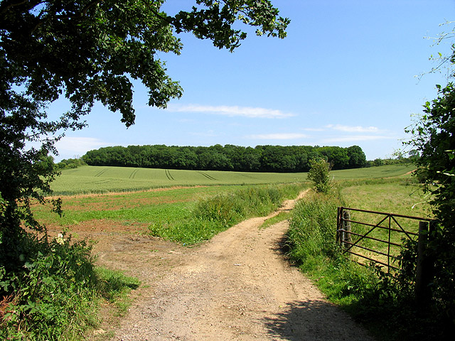
Denticé Bushes, located in the county of Gloucestershire in England, is a picturesque woodland area known for its lush greenery and serene atmosphere. Situated within the enchanting Forest of Dean, it offers visitors a tranquil escape from the hustle and bustle of daily life.

The woodland is characterized by its dense canopy of trees, predominantly consisting of oak, beech, and birch species. These towering trees provide ample shade and create a serene environment, perfect for nature enthusiasts and explorers alike. The forest floor is carpeted with an array of wildflowers, adding vibrant pops of color to the landscape.

Denticé Bushes is home to a diverse range of wildlife, including various bird species such as woodpeckers, owls, and thrushes. Visitors may also encounter small mammals like squirrels and rabbits scurrying among the undergrowth. The forest is a paradise for birdwatchers and nature photographers, offering numerous opportunities to capture stunning shots of the local fauna.

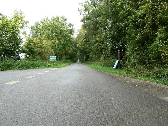
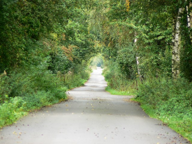
The area is crisscrossed by numerous walking trails, allowing visitors to immerse themselves in the natural beauty of the surroundings. These pathways cater to all levels of fitness and can be easily navigated by both experienced hikers and families seeking a leisurely stroll. The forest also features picnic areas, making it an ideal spot for a day out with family and friends.

Overall, Denticé Bushes in Gloucestershire offers a serene and idyllic escape into nature. Whether it's exploring the enchanting woodland, observing local wildlife, or simply relaxing amidst the beauty of the forest, visitors are sure to find solace and tranquility in this charming natural haven.

If you have any feedback on the listing, please let us know in the comments section below.

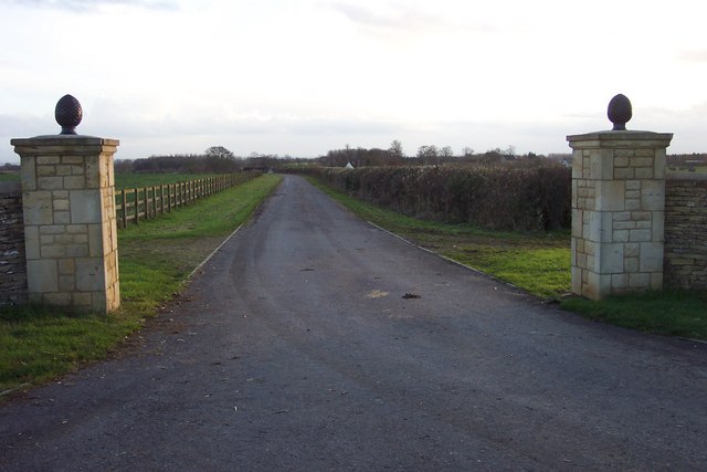
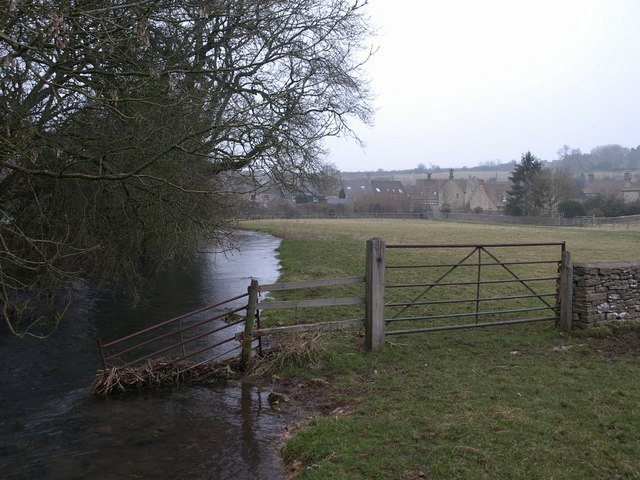
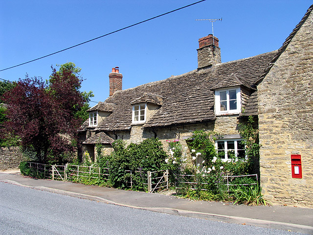
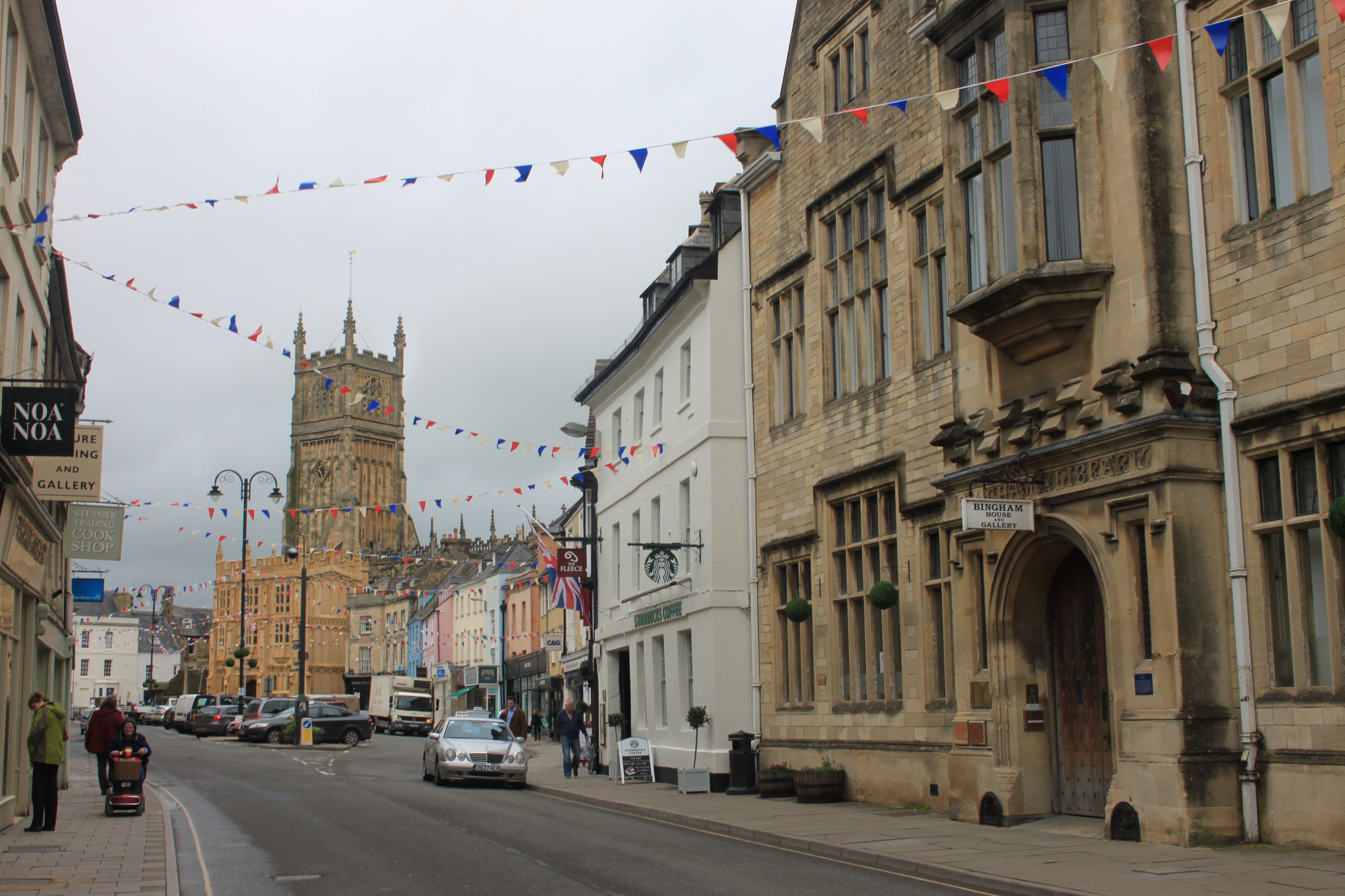
Dentice Bushes Images

Images are sourced within 2km of 51.732162/-1.9450305 or Grid Reference SP0303. Thanks to Geograph Open Source API. All images are credited.

Norcote Farm near Cirencester This farm on the north side of London Road (A417) is in the south eastern section of the square. This square is almost all farmland.
Norcote Farm near Cirencester
This farm on the north side of London Road (A417) is in the south eastern section of the square. This square is almost all farmland.
Merrilhill Copse Looking northish from the dirt track opposite Witpit Lane where it intersects with the A417.
Merrilhill Copse
Looking northish from the dirt track opposite Witpit Lane where it intersects with the A417.
A417 near Cirencester Looking north-west from the White Way along the A417, Swindon to Gloucester road, near Baunton
A417 near Cirencester
Looking north-west from the White Way along the A417, Swindon to Gloucester road, near Baunton
London Road Cirencester The edge of town as at early 2006. London Road is the A417 which meanders off towards Reading
London Road Cirencester
The edge of town as at early 2006. London Road is the A417 which meanders off towards Reading
Baunton Church (winter!) View of the south side of the church
Baunton Church (winter!)
View of the south side of the church
Trackbed of former Midland and South Western Junction Railway This may be one of the most accessible points on the old railway as it now forms a well-surfaced access to local farms. The track runs almost true north. The picture was taken at SP044036 facing north.
Trackbed of former Midland and South Western Junction Railway
This may be one of the most accessible points on the old railway as it now forms a well-surfaced access to local farms. The track runs almost true north. The picture was taken at SP044036 facing north.
Trackbed of former Midland & South Western Junction Railway foreshortened view This is a telephoto shot of the old railway trackbed facing north from SP044036. The track disappears from view at a point about 1.3 km away.
Trackbed of former Midland & South Western Junction Railway foreshortened view
This is a telephoto shot of the old railway trackbed facing north from SP044036. The track disappears from view at a point about 1.3 km away.
Clearing The Edwardian Dump In Cirencester Looking from the field next to Burford Road towards Arnolds Way Cirencester
Clearing The Edwardian Dump In Cirencester
Looking from the field next to Burford Road towards Arnolds Way Cirencester
Approaching a crossroads on the Foss Way.
Gate into The Abbey Estate just off the A429 Beech leaves are on the ground in this late-November view.
Gate into The Abbey Estate just off the A429
Beech leaves are on the ground in this late-November view.
A429 Fosse Way approaching Fosse Corner near Cirencester. Looking south towards the Burford Road junction.
A429 Fosse Way approaching Fosse Corner near Cirencester.
Looking south towards the Burford Road junction.
Traffic lights at Fosse Corner, near Cirencester.
House on B4425 between Cirencester and Barnsley.
Entrance to Lower Norcote Farm.
Norcote Farm
Norcote Farm
Norcote Workshops Farm buildings and extensions used for vehicle repair and hire trade.
Norcote Workshops
Farm buildings and extensions used for vehicle repair and hire trade.
Norcote Workshops Farm buildings used for vehicle hire and repair.
Norcote Workshops
Farm buildings used for vehicle hire and repair.
A419/A417 slip road to Cirencester Unusually, this section of dual-carriageway has a different road number in each direction (A417 northwest to Gloucester, A419 southeast to Swindon).
A419/A417 slip road to Cirencester
Unusually, this section of dual-carriageway has a different road number in each direction (A417 northwest to Gloucester, A419 southeast to Swindon).
Show me another place!

Dentice Bushes is located at Grid Ref: SP0303 (Lat: 51.732162, Lng: -1.9450305)

Administrative County: Gloucestershire

District: Cotswold

Police Authority: Gloucestershire

What 3 Words

///offshore.avid.clerk. Near Cirencester, Gloucestershire

Related Wikis

Baunton

Baunton is a village and civil parish in the Cotswold district of Gloucestershire, England, located about two miles north of Cirencester on the River...

Cirencester Kingshill School

Cirencester Kingshill School is an academy school located on the south east side of Cirencester, Gloucestershire, in England. Opened in 1976 by the Princess...

Cirencester Abbey

Cirencester Abbey or St Mary's Abbey, Cirencester in Gloucestershire was founded as an Augustinian monastery in 1117 on the site of an earlier church,...

Preston, Cotswold

Preston is a village and civil parish in Gloucestershire, England, situated 2.2 km south-east of the town of Cirencester. It is administered by the Cotswold...

Cotswold District

Cotswold is a local government district in Gloucestershire, England. It is named after the wider Cotswolds region and range of hills. The council is based...

Cirencester

Cirencester ( , occasionally ; see below for more variations) is a market town in Gloucestershire, England, 80 miles (130 km) west of London. Cirencester...

Battle of Cirencester

The Battle of Cirencester was fought in 628 at Cirencester in modern-day England. The conflict involved the armies of Mercia, under King Penda, and the...

Corinium Dobunnorum

Corinium Dobunnorum was the Romano-British settlement at Cirencester in the present-day English county of Gloucestershire. Its 2nd-century walls enclosed...

Nearby Amenities

Located within 500m of 51.732162,-1.9450305
Power: tower
Source: bing
Lat/Long: 51.7331045/-1.9518199
Power: tower
Source: bing
Lat/Long: 51.7301008/-1.9500564
Material: wood
Power: pole
Lat/Long: 51.7301711/-1.9416643
Material: wood
Power: pole
Lat/Long: 51.7290434/-1.9413132
Material: wood
Power: pole
Lat/Long: 51.7345648/-1.9464887
Material: wood
Power: pole
Lat/Long: 51.7345282/-1.9441747
Material: wood
Power: pole
Lat/Long: 51.7345099/-1.9428255
Material: wood
Power: pole
Lat/Long: 51.734597/-1.9479874
Material: wood
Power: pole
Lat/Long: 51.7346265/-1.9497006
Material: wood
Power: pole
Lat/Long: 51.7358049/-1.9431923
Material: wood
Power: pole
Lat/Long: 51.7334916/-1.9425624
Material: wood
Power: pole
Lat/Long: 51.7324709/-1.9422913
Material: wood
Power: pole
Lat/Long: 51.7321263/-1.942195
Material: wood
Power: pole
Lat/Long: 51.731344/-1.9419693
Material: wood
Power: pole
Lat/Long: 51.7324569/-1.9418666
The data included in this document is from www.openstreetmap.org. The data is made available under ODbL.

Have you been to Dentice Bushes?

Leave your review of Dentice Bushes below (or comments, questions and feedback).