Commissioners Wood

Wood, Forest in Worcestershire Wychavon

England

Commissioners Wood

Arable land near Abbots Morton View across arable land to the east of Abbots Morton.
Arable land near Abbots Morton Credit: Philip Halling

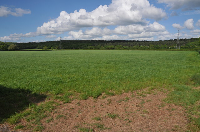
Commissioners Wood is a small woodland located in the county of Worcestershire, England. Situated in the heart of the Forest of Worcestershire, it covers an area of approximately 50 acres. The wood is owned and managed by the Forestry Commission, an agency of the UK government responsible for the protection and expansion of forests and woodlands.

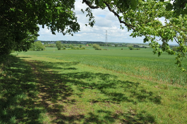
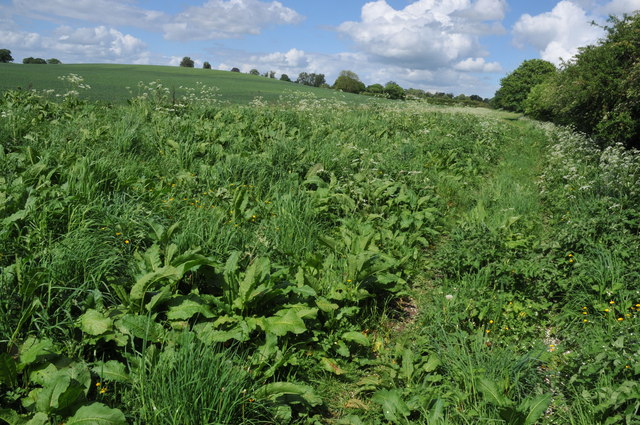
The woodland is predominantly composed of native tree species such as oak, beech, birch, and pine. These trees create a diverse and vibrant habitat that supports a wide range of flora and fauna. The forest floor is carpeted with an array of wildflowers and ferns, while the tree canopy provides shelter and nesting sites for various bird species, including woodpeckers and owls.

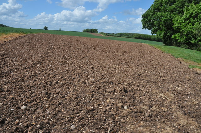
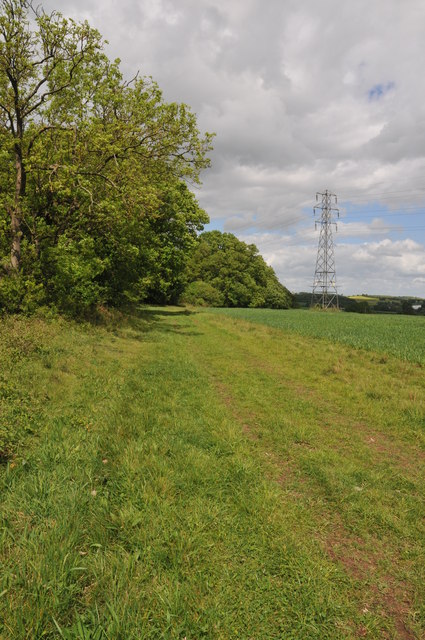
Commissioners Wood offers several walking trails and paths, allowing visitors to explore its natural beauty. The trails wind through the wood, providing opportunities for nature enthusiasts to observe and appreciate the local wildlife and vegetation. The wood is also a popular destination for families, who can enjoy picnics and leisurely walks amidst the tranquil surroundings.

The Forestry Commission actively manages Commissioners Wood to ensure its long-term sustainability and conservation. This includes regular tree maintenance, habitat restoration, and monitoring of wildlife populations. The wood is also open for educational visits and community events, providing an opportunity for people to learn about the importance of forests and their ecosystems.

Overall, Commissioners Wood in Worcestershire is a charming woodland that offers a peaceful retreat and an opportunity to connect with nature. Its diverse flora and fauna, combined with well-maintained trails, make it an attractive destination for both locals and tourists alike.

If you have any feedback on the listing, please let us know in the comments section below.

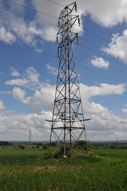
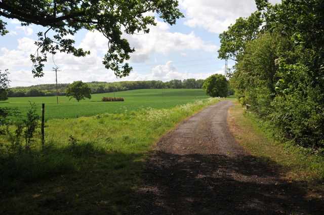
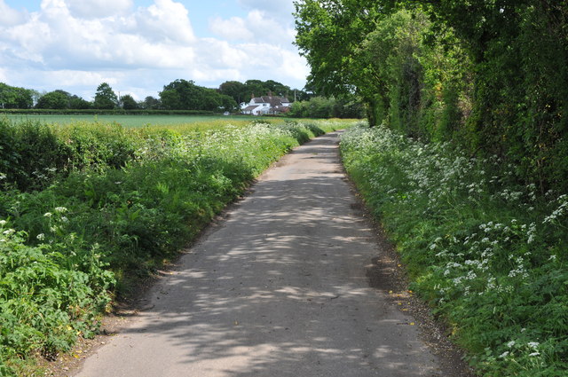
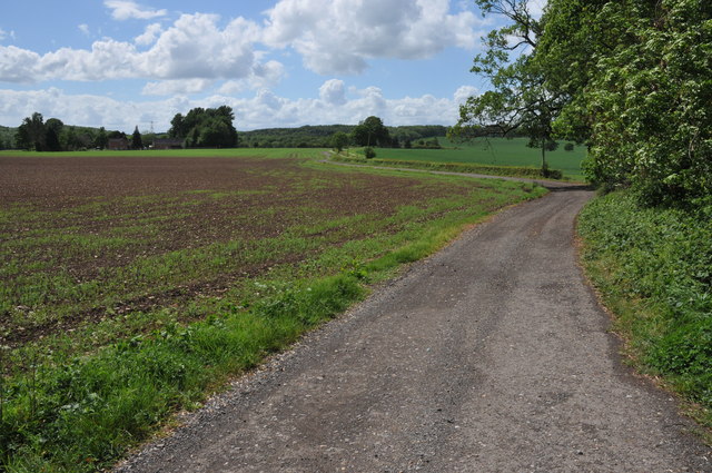
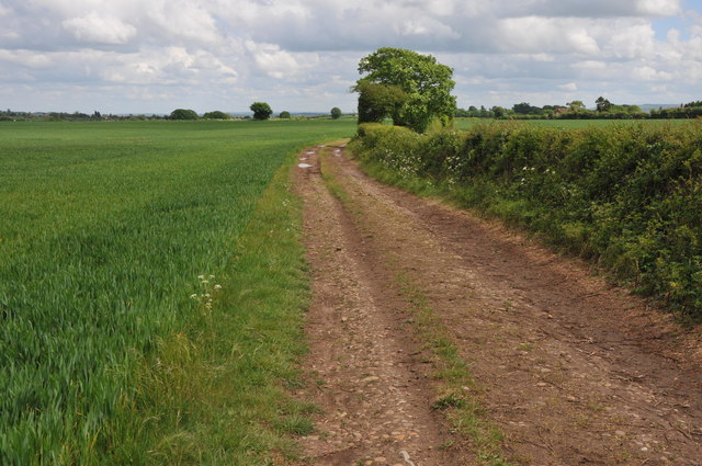
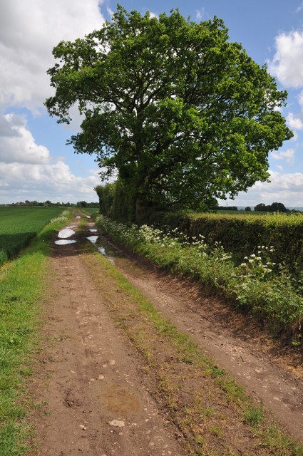
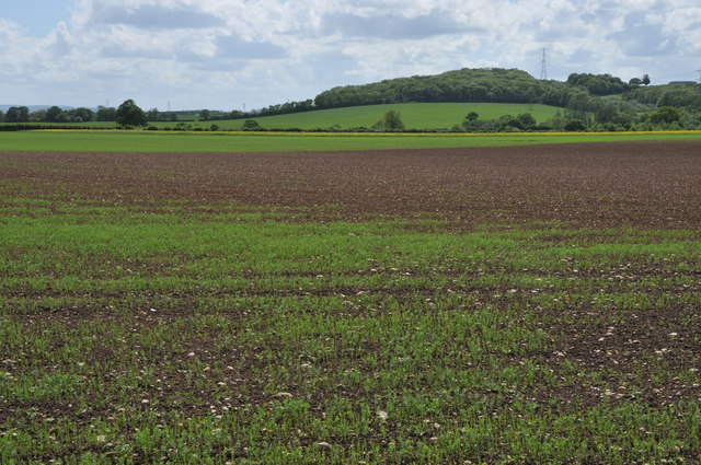
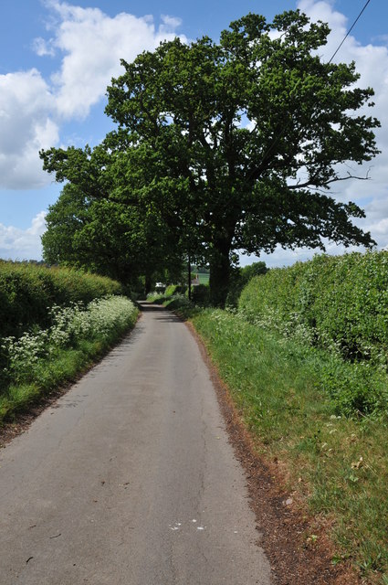
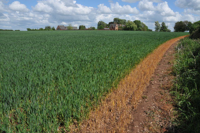
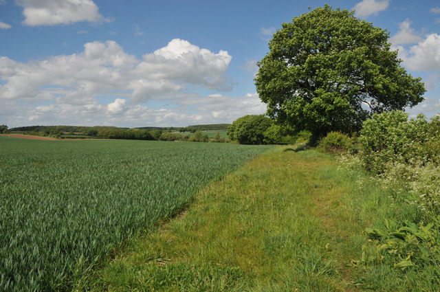
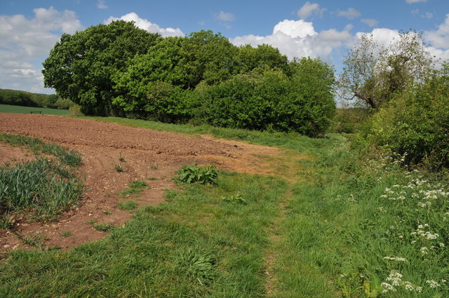
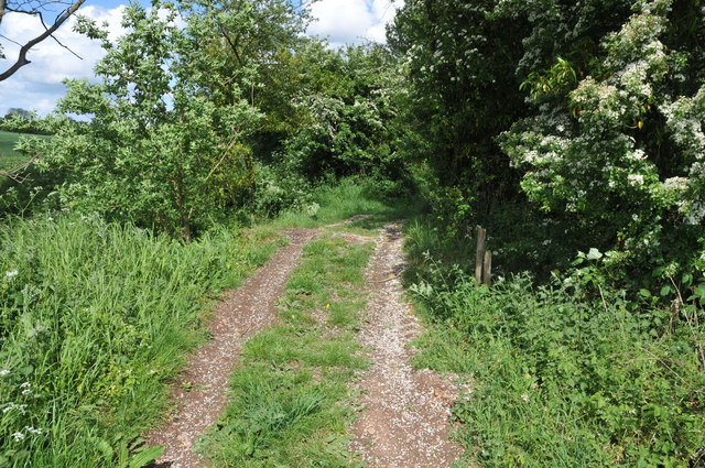
Commissioners Wood Images

Images are sourced within 2km of 52.176153/-1.9445606 or Grid Reference SP0353. Thanks to Geograph Open Source API. All images are credited.

Arable land near Abbots Morton View across arable land to the east of Abbots Morton.
Arable land near Abbots Morton
View across arable land to the east of Abbots Morton.
Arable land at Cock Bevington Arable land viewed from beside a disused mine at Cock Bevington.
Arable land at Cock Bevington
Arable land viewed from beside a disused mine at Cock Bevington.
On the border This bridleway follows the hedgerow which marks the county boundary between Worcestershire and Warwickshire.
On the border
This bridleway follows the hedgerow which marks the county boundary between Worcestershire and Warwickshire.
Arable land at Bevington Waste Arable land viewed from a bridleway at Bevington Waste.
Arable land at Bevington Waste
Arable land viewed from a bridleway at Bevington Waste.
Pylons at Bevington Waste Pylons carry power cables across farmland at Bevington Waste.
Pylons at Bevington Waste
Pylons carry power cables across farmland at Bevington Waste.
Pylons in arable land, Bevington Waste Pylons carry power cables through this large arable field at Bevington Waste.
Pylons in arable land, Bevington Waste
Pylons carry power cables through this large arable field at Bevington Waste.
Track at Cock Bevington Track at Cock Bevington giving access to an electricity substation.
Track at Cock Bevington
Track at Cock Bevington giving access to an electricity substation.
Road at Cock Bevington No through road at Cock Bevington.
Road at Cock Bevington
No through road at Cock Bevington.
Road to Rose Cottage Road to Rose Cottage and Whitfield Barn at Cock Bevington.
Road to Rose Cottage
Road to Rose Cottage and Whitfield Barn at Cock Bevington.
Track to Cock Bevington Track and bridleway across arable land to Cock Bevington.
Track to Cock Bevington
Track and bridleway across arable land to Cock Bevington.
Track to Cock Bevington Track and bridleway to Cock Bevington.
Track to Cock Bevington
Track and bridleway to Cock Bevington.
Arable land at Cock Bevington View south over arable land at Cock Bevington towards Salford Coppice.
Arable land at Cock Bevington
View south over arable land at Cock Bevington towards Salford Coppice.
Lane at Cock Bevington Not through road at Cock Bevington.
Lane at Cock Bevington
Not through road at Cock Bevington.
Wheat field near Bevington Hall Wheat field near Bevington Hall at Cock bevington.  A footpath crosses this field diagonally though it appears to have been diverted around the field edge.
Wheat field near Bevington Hall
Wheat field near Bevington Hall at Cock bevington. A footpath crosses this field diagonally though it appears to have been diverted around the field edge.
Footpath to Wood Bevington The footpath from Cock Bevington to Wood Bevington follows the hedgerow.
Footpath to Wood Bevington
The footpath from Cock Bevington to Wood Bevington follows the hedgerow.
Site of a disused pit This clump of trees beside a footpath from Cock Bevington to Wood Bevington grow on the site of a disused pit.
Site of a disused pit
This clump of trees beside a footpath from Cock Bevington to Wood Bevington grow on the site of a disused pit.
Crossing Ban Brook This track between fields crosses a small bridge over Ban Brook, a tributary of the River Avon.
Crossing Ban Brook
This track between fields crosses a small bridge over Ban Brook, a tributary of the River Avon.
Footpath to Wood Bevington A footpath follows the hedgerow to the side of this cereal field en route to Wood Bevington.
Footpath to Wood Bevington
A footpath follows the hedgerow to the side of this cereal field en route to Wood Bevington.
Show me another place!

Commissioners Wood is located at Grid Ref: SP0353 (Lat: 52.176153, Lng: -1.9445606)

Administrative County: Worcestershire

District: Wychavon

Police Authority: West Mercia

What 3 Words

///obvious.heat.stolen. Near Harvington, Worcestershire

Nearby Locations

Commissioners Wood

Related Wikis

Goom's Hill

Goom's Hill is a location near Abbots Morton in Worcestershire, England.

Weethley

Weethley is a village and former civil parish on the B4088 road, now in the parish of Arrow with Weethley, in the Stratford-on-Avon district, in the county...

Church Lench

Church Lench is a village and former civil parish, now in the parish of South Lenches, in the Wychavon district, in the county of Worcestershire, England...

Abbots Morton

Abbots Morton is a village and civil parish in the English county of Worcestershire. It consists of approximately 70 dwellings and 250 people. It retains...

Atch Lench

Atch Lench is a village in Worcestershire, England. == External links == Media related to Atch Lench at Wikimedia Commons Atch Lench in the Domesday Book

Ab Lench

Ab Lench is a village and former civil parish, now in the parish of South Lenches, in the Wychavon district, in the county of Worcestershire, England...

Radford, Worcestershire

Radford is a hamlet in the Wychavon district of Worcestershire, England. It is 1 mile SSW of Inkberrow. In 2013, Landscan population maps show there to...

Harvington

Harvington is a village near Evesham in Worcestershire, England. Bounded by the River Avon to the south and the Lench Hills to the north, three miles northeast...

Nearby Amenities

Located within 500m of 52.176153,-1.9445606
Power: tower
Source: bing
Lat/Long: 52.1769537/-1.9382791
Power: tower
Source: bing
Lat/Long: 52.1729434/-1.9437605
Power: tower
Source: bing
Lat/Long: 52.1734621/-1.9437728
Power: tower
Source: bing
Lat/Long: 52.1753249/-1.9438261
Power: tower
Source: bing
Lat/Long: 52.1763144/-1.9438524
Power: tower
Source: bing
Lat/Long: 52.1782942/-1.9438805
Power: tower
Source: bing
Lat/Long: 52.1798987/-1.9439051
Power: pole
Lat/Long: 52.1734419/-1.944169
Power: pole
Lat/Long: 52.1747637/-1.9447098
Power: pole
Lat/Long: 52.1751433/-1.9511324
Power: pole
Lat/Long: 52.1751489/-1.9495969
Power: pole
Lat/Long: 52.1751611/-1.948277
Power: pole
Lat/Long: 52.175169/-1.9469678
Power: pole
Lat/Long: 52.1751857/-1.9456242
Power: pole
Source: bing
Lat/Long: 52.1736314/-1.9432939
Power: pole
Lat/Long: 52.1746727/-1.9426904
Power: pole
Lat/Long: 52.1757076/-1.9421331
Power: pole
Lat/Long: 52.1767425/-1.9415738
Power: pole
Lat/Long: 52.177759/-1.9410233
Power: pole
Lat/Long: 52.1788102/-1.9404425
Power: pole
Source: Warwicks CC Aerial Imagery 2013
Lat/Long: 52.1720597/-1.9423887
Power: pole
Source: Warwicks CC Aerial Imagery 2013
Lat/Long: 52.1728757/-1.9432658
Power: pole
Source: Warwicks CC Aerial Imagery 2013
Lat/Long: 52.1730072/-1.9432926
Power: pole
Source: Warwicks CC Aerial Imagery 2013
Lat/Long: 52.1731125/-1.9415894
Power: pole
Source: Warwicks CC Aerial Imagery 2013
Lat/Long: 52.1732153/-1.9398956
Power: transformer
Source: bing
Lat/Long: 52.1731997/-1.9435045
Power: transformer
Source: bing
Lat/Long: 52.1731981/-1.9440249
Bevington Satellite No 1
Power: substation
Ref: 778855
Source: wpd_opendata
Lat/Long: 52.1730459/-1.9434965
The data included in this document is from www.openstreetmap.org. The data is made available under ODbL.

Have you been to Commissioners Wood?

Leave your review of Commissioners Wood below (or comments, questions and feedback).