Highshutt Wood
Wood, Forest in Staffordshire Staffordshire Moorlands
England
Highshutt Wood
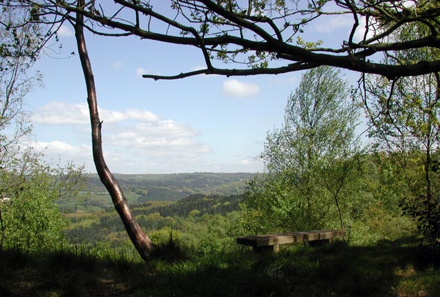
Highshutt Wood is a picturesque woodland located in Staffordshire, England. Covering an area of approximately 40 acres, it is nestled in the heart of the county, near the town of Rugeley. The wood is known for its natural beauty and tranquil atmosphere, making it a popular destination for nature lovers, hikers, and photographers.
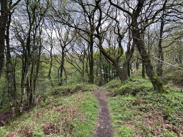
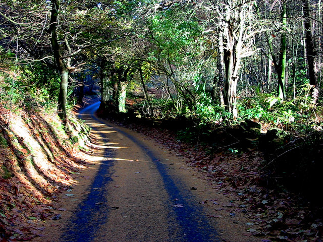
The woodland is predominantly made up of mature broadleaf trees, including oak, beech, and ash, which provide a rich canopy and create a diverse habitat for various wildlife species. Bluebells carpet the forest floor in spring, creating a stunning display of vibrant colors. In addition to the bluebells, the wood is home to an array of wildflowers, ferns, and mosses, adding to its natural charm.
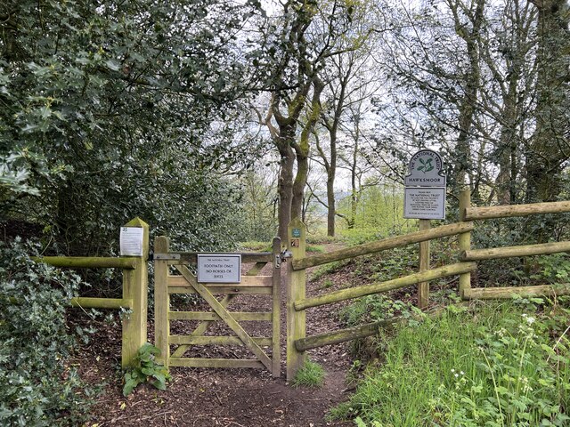
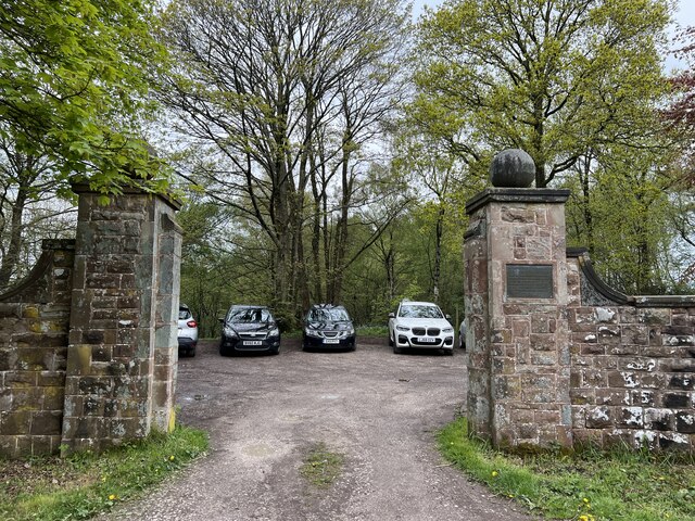
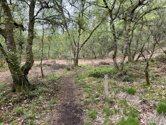
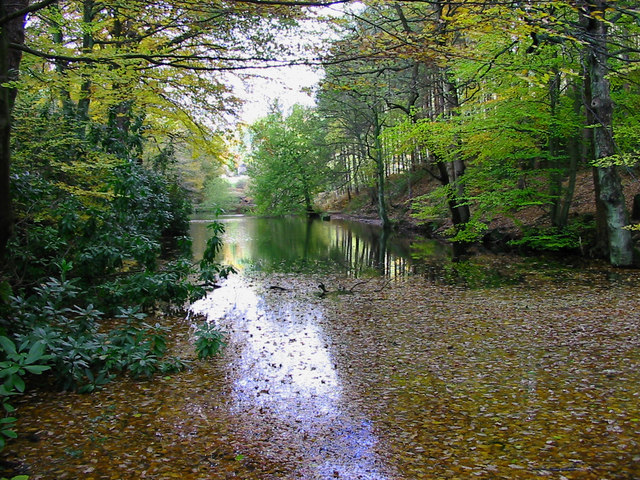
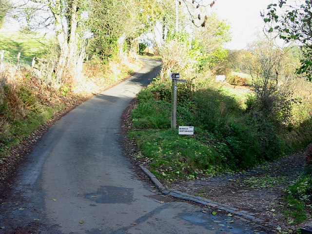
Highshutt Wood is crisscrossed by a network of well-maintained footpaths, allowing visitors to explore its enchanting trails and discover hidden gems along the way. The paths wind through the woods, leading to open clearings where visitors can relax and enjoy a picnic surrounded by nature. The wood also boasts a small pond, attracting a variety of bird species and providing a peaceful spot for reflection and wildlife observation.
Managed by the Staffordshire Wildlife Trust, Highshutt Wood is carefully preserved to protect its delicate ecosystem and maintain its natural splendor. The Trust conducts regular conservation work, such as tree planting and habitat management, to ensure the longevity of the wood and its inhabitants.
Overall, Highshutt Wood offers a welcoming escape from the hustle and bustle of everyday life, providing a serene haven for visitors to connect with nature and enjoy the beauty of Staffordshire's woodland landscape.
If you have any feedback on the listing, please let us know in the comments section below.
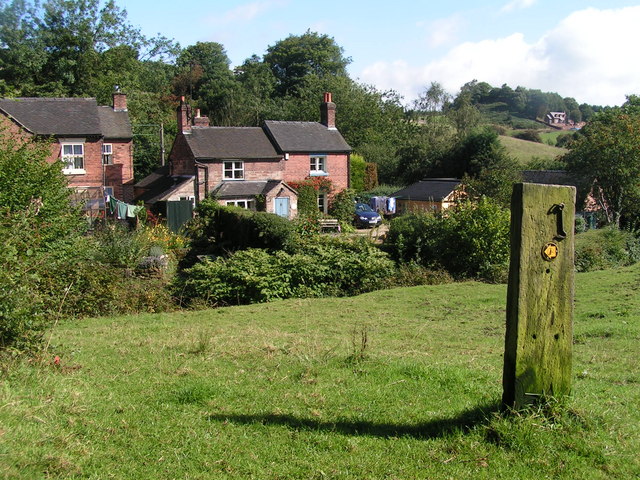
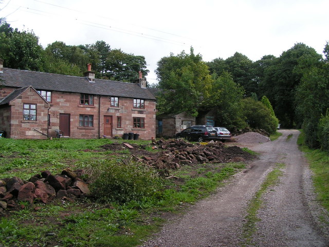
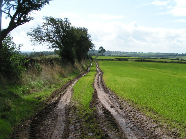
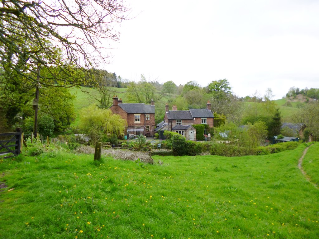
Highshutt Wood Images
Images are sourced within 2km of 52.988716/-1.9479551 or Grid Reference SK0343. Thanks to Geograph Open Source API. All images are credited.


Highshutt Wood is located at Grid Ref: SK0343 (Lat: 52.988716, Lng: -1.9479551)
Administrative County: Staffordshire
District: Staffordshire Moorlands
Police Authority: Staffordshire
What 3 Words
///rucksack.overheard.moats. Near Cheadle, Staffordshire
Nearby Locations
Related Wikis
The Old Furnace
The Old Furnace is a colloquial name given to an historic site in Oakamoor, Staffordshire, England, that supported the development of medieval and post...

Woodhead Hall
Woodhead Hall is a country house at Cheadle in Staffordshire. It is a Grade II listed building. == History == Woodhead Hall was originally commissioned...

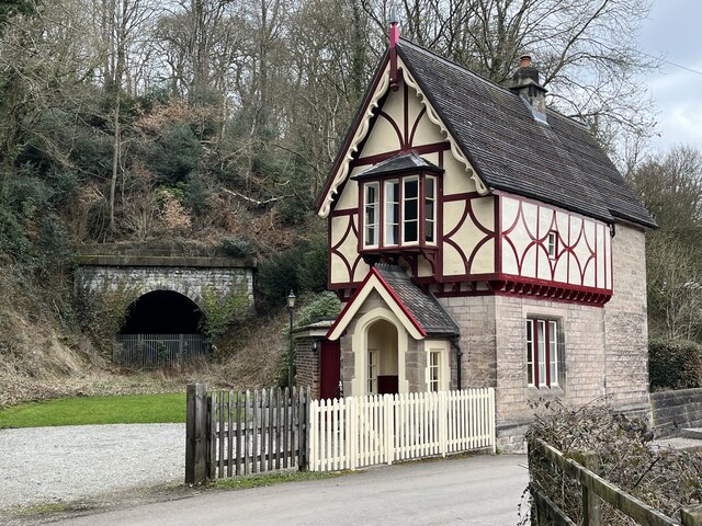
Oakamoor railway station
Oakamoor railway station is a closed railway station in the Churnet Valley, Staffordshire. The station was opened in 1849 as part of the Churnet Valley...

Oakamoor Tunnel
Oakamoor Tunnel is a disused 497-yard (454 m) long tunnel located north of Oakamoor railway station on the former Uttoxeter to North Rode section of the...

Oakamoor
Oakamoor is a small village in north Staffordshire, England. Although it is now a rural area, it has an industrial past which drew on the natural resources...
Freehay
Freehay is a small village located 2 miles from the centre of Cheadle in Staffordshire, England. The village centre is at the main Freehay Bank (or Church...

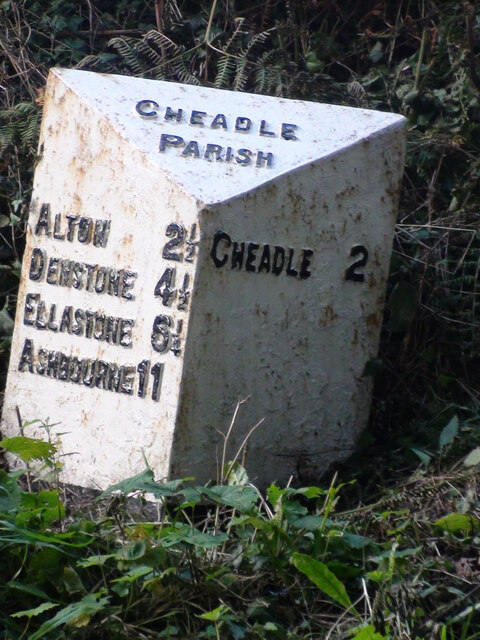
Cheadle, Staffordshire
Cheadle is a market town and civil parish in the Staffordshire Moorlands District of Staffordshire, England, with a population of 12,000 at the 2021 census...
Tean Road Sports Ground
Tean Road Sports Ground is a cricket ground in Cheadle, Staffordshire. The ground is located south of the town centre along the Tean Road, which itself...
Nearby Amenities
Located within 500m of 52.988716,-1.9479551Have you been to Highshutt Wood?
Leave your review of Highshutt Wood below (or comments, questions and feedback).