Freeth's Wood

Wood, Forest in Wiltshire

England

Freeth's Wood

Spine Road (West), heading west
Spine Road (West), heading west Credit: Robin Webster

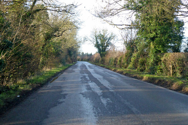
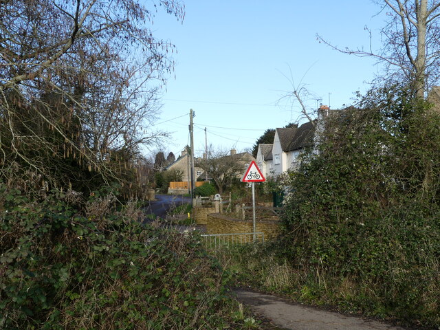
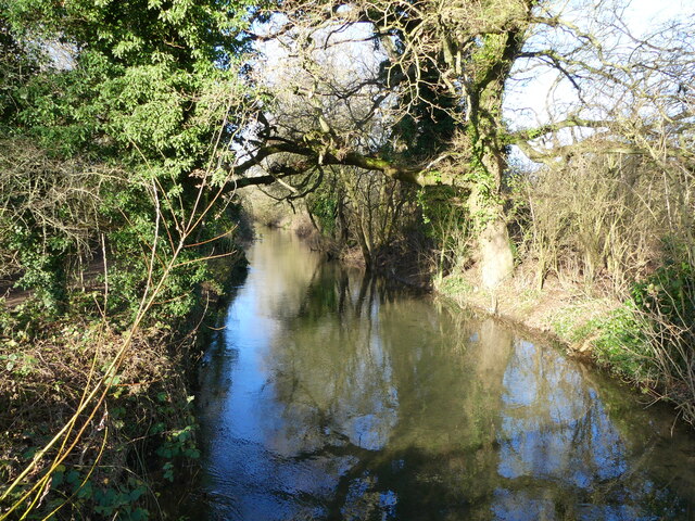
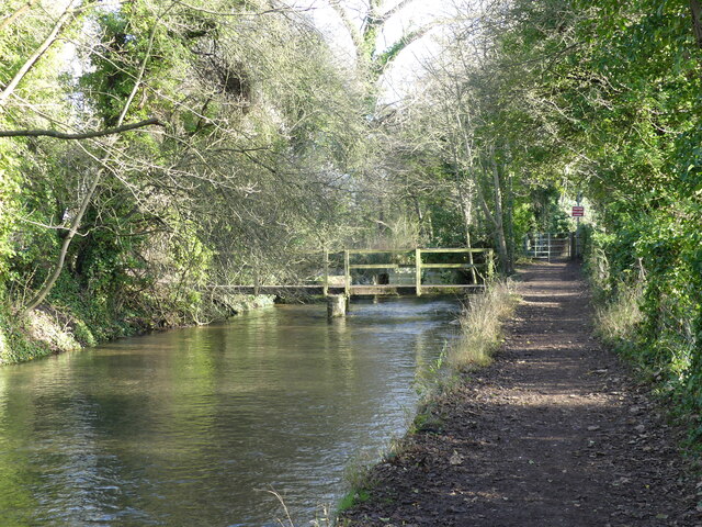
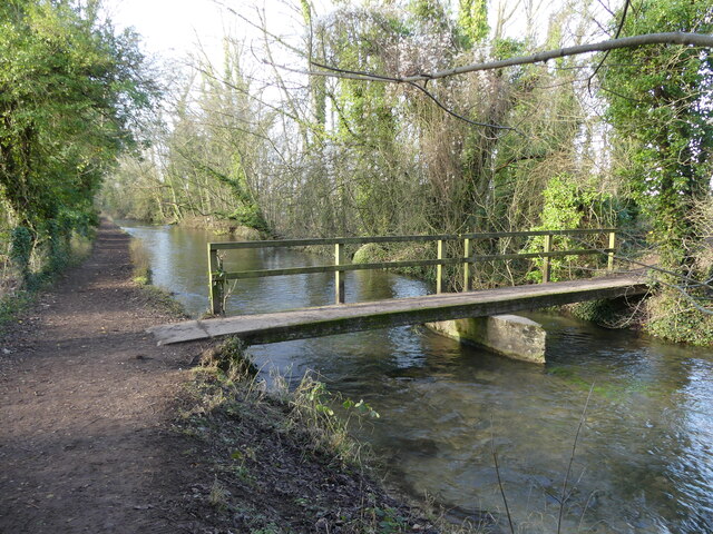
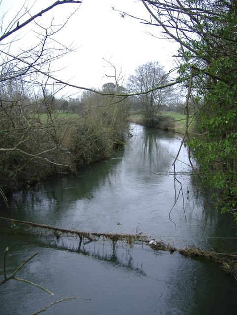
Freeth's Wood is a picturesque woodland located in the county of Wiltshire, England. Covering an area of approximately 50 acres, it is situated in the vicinity of the small village of Freeth, nestled amidst the rolling hills and valleys of the Wiltshire Downs.

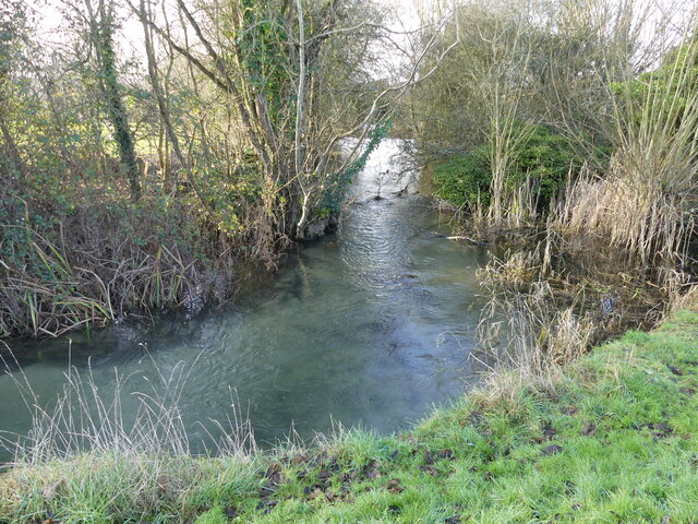
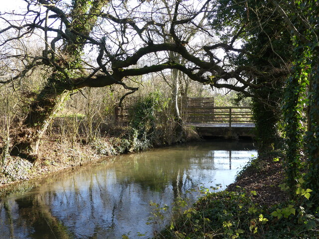
The wood is predominantly composed of native broadleaf trees, including oak, ash, beech, and birch, which create a dense canopy overhead. These trees, some of which are centuries old, provide a habitat for a diverse range of flora and fauna. Bluebells, wood anemones, and wild garlic carpet the forest floor in the spring, creating a stunning display of color.

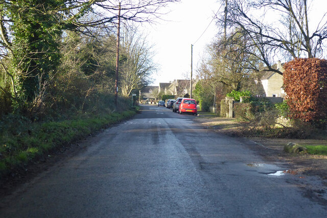
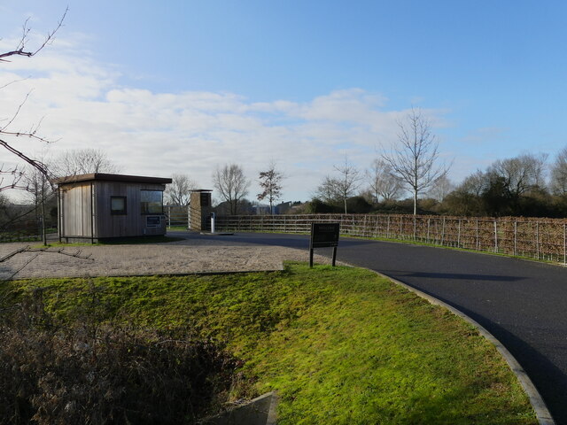
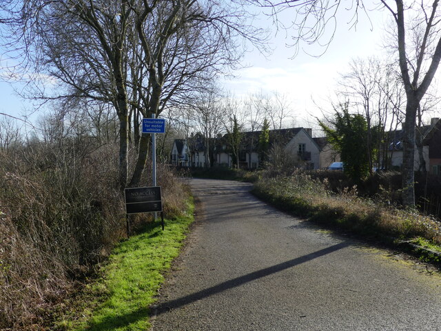
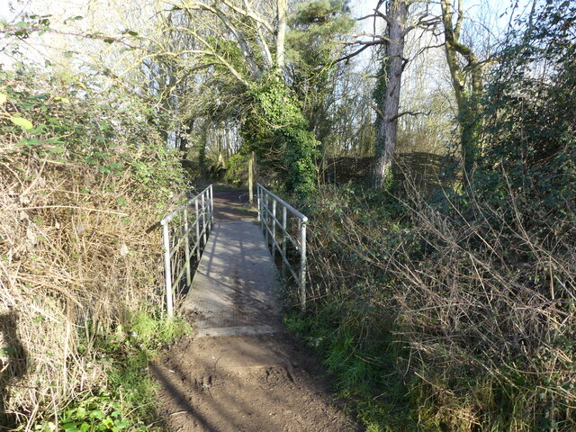
Several well-marked trails wind their way through Freeth's Wood, offering visitors the chance to explore its natural beauty. These paths meander through the ancient woodland, leading to clearings and viewpoints, where one can catch a glimpse of the surrounding countryside.

The wood is also home to an array of wildlife, including deer, badgers, foxes, and a variety of bird species. Nature enthusiasts and birdwatchers are often drawn to Freeth's Wood, as it provides a peaceful sanctuary to observe and appreciate the local fauna.

Freeth's Wood has a rich history, with evidence of human activity dating back thousands of years. Archaeological finds, such as flint tools and pottery fragments, suggest that the wood was inhabited during the Stone Age. Moreover, remnants of Iron Age earthworks can still be seen on the woodland's periphery.

Overall, Freeth's Wood offers visitors a tranquil and enchanting experience, allowing them to immerse themselves in the beauty of nature and explore the rich heritage of this ancient woodland.

If you have any feedback on the listing, please let us know in the comments section below.

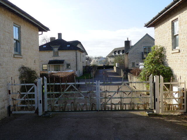
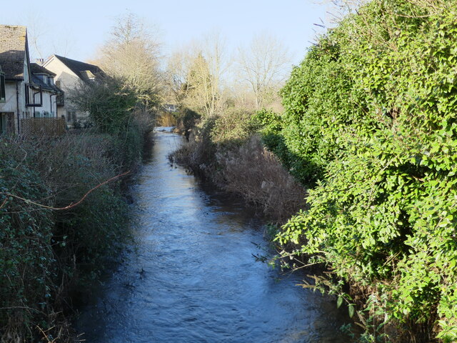
Freeth's Wood Images

Images are sourced within 2km of 51.64443/-1.9535038 or Grid Reference SU0393. Thanks to Geograph Open Source API. All images are credited.

Spine Road (West), heading west
Water Lane, Somerford Keynes
Bend in the road, Somerford Keynes The junction to the left beyond the parked cars is with Mill Lane, which gives access to the Thames Path.
Bend in the road, Somerford Keynes
The junction to the left beyond the parked cars is with Mill Lane, which gives access to the Thames Path.
Access path from the road to Mill Lane, Somerford Keynes Opposite this path, across the road, is a road that forms part of the Thames Path.
Access path from the road to Mill Lane, Somerford Keynes
Opposite this path, across the road, is a road that forms part of the Thames Path.
New access road to the Lower Mill Estate, Somerford Keynes The estate lies between the youthful River Thames and the gravel pit lakes prevalent in this area.
New access road to the Lower Mill Estate, Somerford Keynes
The estate lies between the youthful River Thames and the gravel pit lakes prevalent in this area.
Bend in the youthful River Thames beside the Thames Path, Somerford Keynes I hesitate to describe this as a "meander" - which would be the usual term for a bend in the river, as the course has been so heavily "managed" in this area.
Bend in the youthful River Thames beside the Thames Path, Somerford Keynes
I hesitate to describe this as a "meander" - which would be the usual term for a bend in the river, as the course has been so heavily "managed" in this area.
The Thames Path - approaching where the tarmac ends, Somerford Keynes
Gated road to Lower Mill Estate, Somerford Keynes The photo was taken from a bridge over the youthful River Thames <a href="https://www.geograph.org.uk/photo/7078594">SU0294 : The youthful River Thames seen from a bridge to the Lower Mill Estate, Somerford Keynes</a>.
Gated road to Lower Mill Estate, Somerford Keynes
The photo was taken from a bridge over the youthful River Thames SU0294 : The youthful River Thames seen from a bridge to the Lower Mill Estate, Somerford Keynes.
The youthful River Thames seen from a bridge to the Lower Mill Estate, Somerford Keynes
Footbridge over the River Thames, on the Thames Path near Somerford Keynes
Bridge over the River Thames, seen from the Thames Path, near Somerford Keynes
The River Thames seen from a bridge, near Somerford Keynes This bridge intersects with the Thames Path.
The River Thames seen from a bridge, near Somerford Keynes
This bridge intersects with the Thames Path.
Footbridge and track bridge across the River Thames, near Ashton Keynes The footpath is the Thames Path.
Footbridge and track bridge across the River Thames, near Ashton Keynes
The footpath is the Thames Path.
Footbridge seen from beside track bridge over the River Thames, near Ashton Keynes
Junction of track with the Thames Path, near Ashton Keynes
Stream that drains from the River Thames, near Ashton Keynes This is part of the extensive management of this watery area.  The river is bounded on either side by former gravel pits, now lakes.  The stream in the photo appears to contain a higher volume of water than what remained in the young River Thames.  When we arrived at Ashton Keynes and saw the course of the river, it became clear why this level of management is needed.  <a href="https://www.geograph.org.uk/photo/7078688">SU0494 : The River Thames takes a man-made course through Ashton Keynes</a>
Stream that drains from the River Thames, near Ashton Keynes
This is part of the extensive management of this watery area. The river is bounded on either side by former gravel pits, now lakes. The stream in the photo appears to contain a higher volume of water than what remained in the young River Thames. When we arrived at Ashton Keynes and saw the course of the river, it became clear why this level of management is needed. SU0494 : The River Thames takes a man-made course through Ashton Keynes
Approaching the road, along the Thames Path at Ashton Keynes
Show me another place!

Freeth's Wood is located at Grid Ref: SU0393 (Lat: 51.64443, Lng: -1.9535038)

Unitary Authority: Wiltshire

Police Authority: Wiltshire

What 3 Words

///amplified.luring.soldiers. Near Ashton Keynes, Wiltshire

Nearby Locations

Freeth's Wood

Related Wikis

Pike Corner

Pike Corner (grid reference SU036933) is a 15.2 hectare biological Site of Special Scientific Interest in north Wiltshire, England, notified in 1986. The...

Cotswold Water Park

The Cotswold Water Park is the United Kingdom's largest marl lake system, straddling the Wiltshire–Gloucestershire border, north-west of Cricklade and...

Ashton Keynes

Ashton Keynes is a village and civil parish in north Wiltshire, England which borders with Gloucestershire. The village is about 5 miles (8 km) south of...

Acres Farm Meadow

Acres Farm Meadow (grid reference SU024927) is a 4.2 hectare biological Site of Special Scientific Interest (SSSI) in Wiltshire, notified in 1989. It lies...

Swill Brook

Swill Brook is the name of a number of streams in England, the most notable of which is the Swill Brook in Wiltshire. This stream flows for some 10 km...

Somerford Keynes

Somerford Keynes (, grid reference SU019952) is a village and civil parish in the Cotswold district of Gloucestershire, England, close to the River Thames...

Clattinger Farm

Clattinger Farm (grid reference SU012933) is a 60.3 hectare biological Site of Special Scientific Interest in Wiltshire, notified in 1971. The site is...

All Saints Church, Shorncote

All Saints Church is a historic Anglican church in Shorncote, Gloucestershire, England under the care of The Churches Conservation Trust. It is recorded...

Nearby Amenities

Located within 500m of 51.64443,-1.9535038
Barrier: kissing_gate
Bicycle: yes
Foot: yes
Lat/Long: 51.6459853/-1.9490066
Barrier: kissing_gate
Lat/Long: 51.6451567/-1.9550772
Hiking: yes
Information: guidepost
Source: GPS
Tourism: information
Lat/Long: 51.6459498/-1.9491345
Hiking: yes
Information: guidepost
Source: GPS
Tourism: information
Lat/Long: 51.6450793/-1.9553572
The data included in this document is from www.openstreetmap.org. The data is made available under ODbL.

Have you been to Freeth's Wood?

Leave your review of Freeth's Wood below (or comments, questions and feedback).