Hazelhurst Wood
Wood, Forest in Derbyshire High Peak
England
Hazelhurst Wood

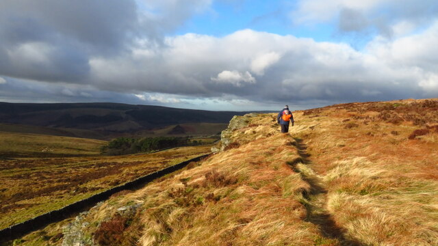
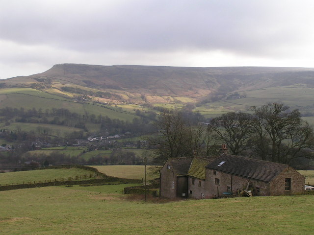
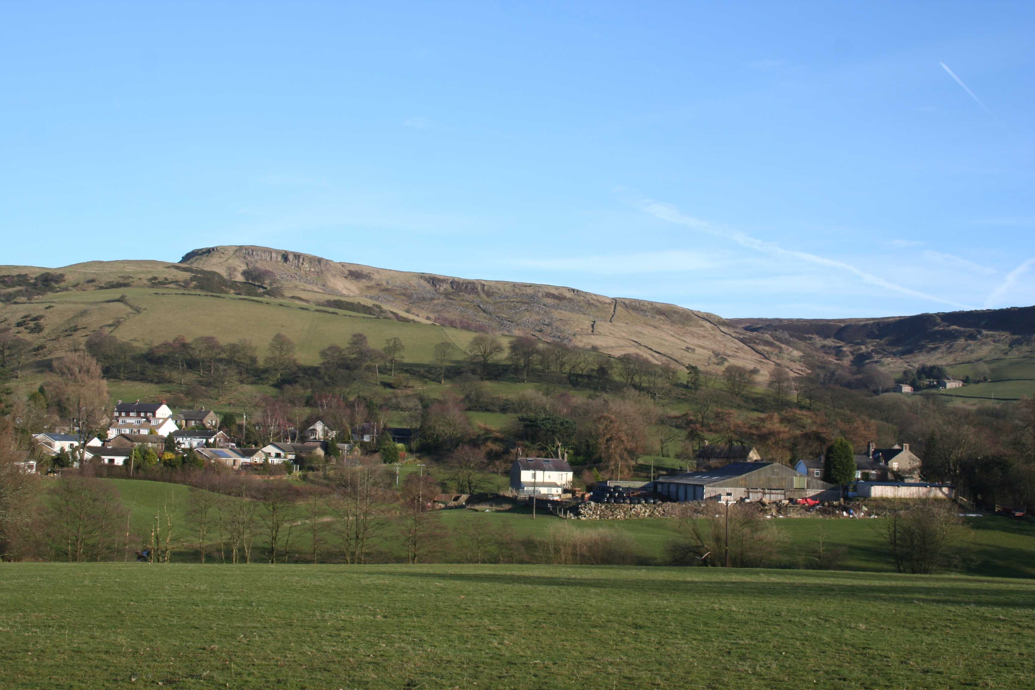
Hazelhurst Wood is a serene and picturesque woodland located in Derbyshire, England. Stretching across an area of approximately 100 acres, it is a natural haven that offers a tranquil escape from the bustling city life. The wood is primarily composed of hazel trees, which lend their name to this lush sanctuary.
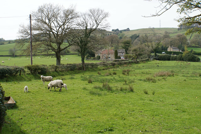
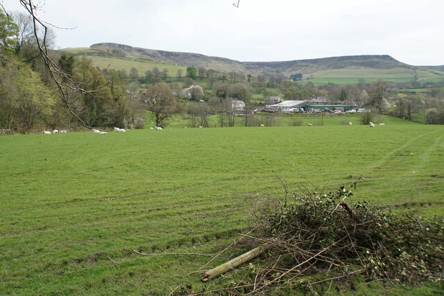
The wood is home to a diverse range of flora and fauna, making it a popular spot for nature enthusiasts and wildlife lovers. Moss-covered rocks, lush ferns, and vibrant wildflowers create a beautiful tapestry that blankets the forest floor. The towering hazel trees provide a dense canopy, allowing only speckles of sunlight to filter through, creating a magical ambience.
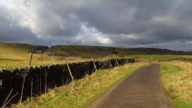
Visitors can explore the wood through a network of well-maintained walking trails that wind through the dense foliage. These paths offer a chance to witness the wood's abundant wildlife, including deer, squirrels, and a variety of bird species. Nature lovers can also indulge in birdwatching, as the wood attracts a plethora of woodland birds.
Hazelhurst Wood is a popular destination for outdoor activities such as picnicking, photography, and simply immersing oneself in the serenity of nature. The wood is well-equipped with picnic areas, benches, and designated viewpoints that provide breathtaking vistas of the surrounding countryside.
Managed by the local conservation authority, Hazelhurst Wood is a testament to the importance of preserving natural habitats. It serves as a valuable educational resource, offering visitors an opportunity to learn about the importance of woodland ecosystems and the need for biodiversity conservation.
In conclusion, Hazelhurst Wood is a captivating woodland in Derbyshire that showcases the beauty of nature. With its diverse flora and fauna, well-maintained trails, and serene atmosphere, it is an ideal destination for those seeking solace and a closer connection with the natural world.
If you have any feedback on the listing, please let us know in the comments section below.
Hazelhurst Wood Images
Images are sourced within 2km of 53.290737/-1.951896 or Grid Reference SK0377. Thanks to Geograph Open Source API. All images are credited.


Hazelhurst Wood is located at Grid Ref: SK0377 (Lat: 53.290737, Lng: -1.951896)
Administrative County: Derbyshire
District: High Peak
Police Authority: Derbyshire
What 3 Words
///outwards.tedious.harvest. Near Dove Holes, Derbyshire
Nearby Locations
Related Wikis
Combs Moss
Combs Moss is a plateau-topped hill between Chapel-en-le-Frith and Buxton in Derbyshire, in the Peak District. The summit, Combs Head, is 503 metres (1...
Combs, Derbyshire
Combs is a small village in Derbyshire, England, in the civil parish of Chapel-en-le-Frith and the Peak District National Park. The village is bounded...
Upper Goyt Valley
The Upper Goyt Valley is the southern section of the valley of the River Goyt in North West England. == Position == The source of the Goyt River is on...
Errwood Reservoir
Errwood Reservoir is a drinking-water reservoir in the Peak District National Park, within the county of Derbyshire and very close to the boundary with...
Nearby Amenities
Located within 500m of 53.290737,-1.951896Have you been to Hazelhurst Wood?
Leave your review of Hazelhurst Wood below (or comments, questions and feedback).