West Close Copse

Wood, Forest in Wiltshire

England

West Close Copse

From a Swindon-Bristol train, Hart Farm
From a Swindon-Bristol train, Hart Farm Credit: Nigel Thompson

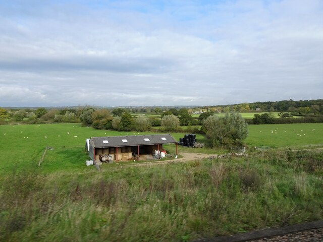
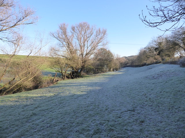
West Close Copse is a charming woodland located in the county of Wiltshire in southwestern England. Situated near the village of West Close, this copse covers an area of approximately 20 acres and is known for its natural beauty and diverse ecosystem.

The copse is predominantly composed of broadleaf trees, including oak, beech, and ash, which create a dense canopy that provides shade and shelter for a variety of wildlife. The forest floor is covered with a rich carpet of ferns, bluebells, and wildflowers, adding to the copse's picturesque charm.

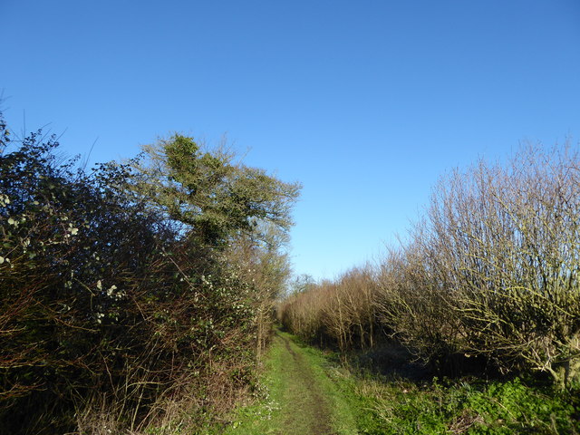
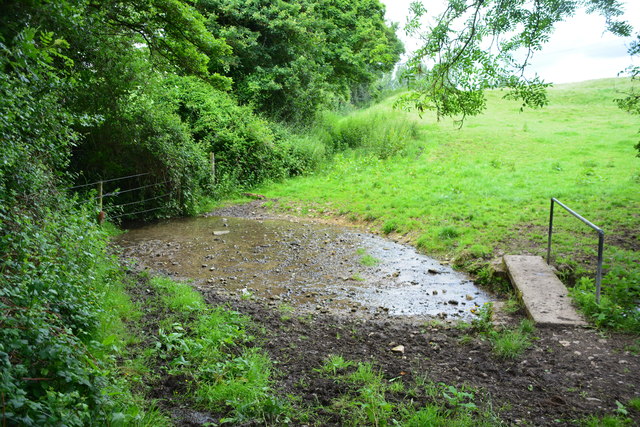
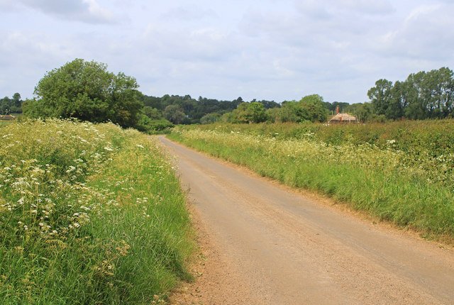
West Close Copse is a popular destination for nature lovers and hikers, offering several well-marked trails that wind through its enchanting landscape. These trails provide visitors with the opportunity to explore the copse's many hidden gems, such as a small stream that meanders through the woodland, creating a peaceful and serene atmosphere.

The copse is home to a diverse range of wildlife, including deer, foxes, and a multitude of bird species, making it a haven for nature enthusiasts and birdwatchers. The peaceful environment and abundance of food sources attract a variety of species, providing ample opportunities for wildlife observation and photography.

West Close Copse is managed by the local authorities, who ensure the preservation of its natural beauty and protect its delicate ecosystem. The copse is open to the public year-round, and visitors are encouraged to respect and appreciate the natural environment by following designated trails and leaving no trace of their visit.

In summary, West Close Copse is a stunning woodland in Wiltshire, offering visitors a chance to immerse themselves in nature and experience the tranquility of a quintessential English copse.

If you have any feedback on the listing, please let us know in the comments section below.

West Close Copse Images

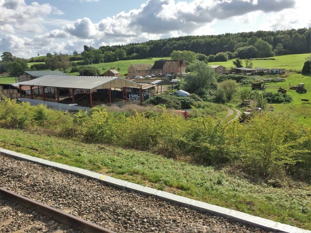
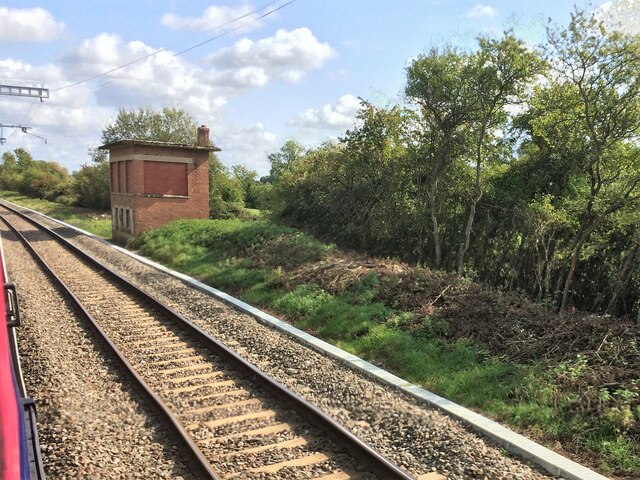
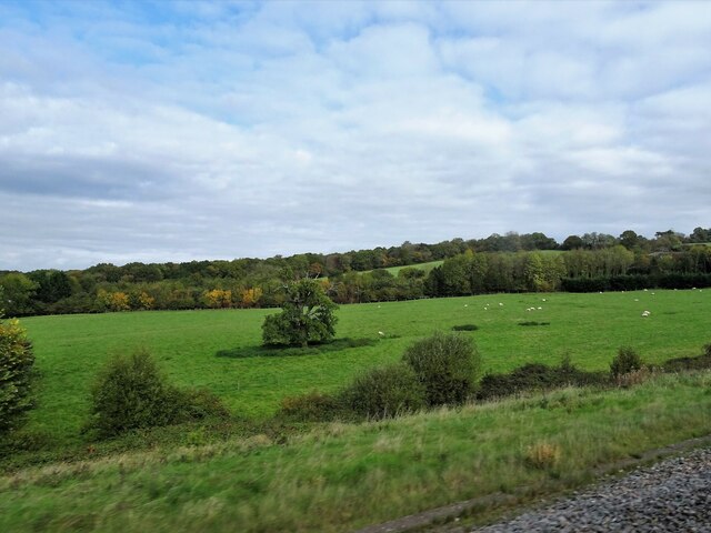
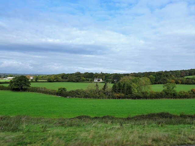
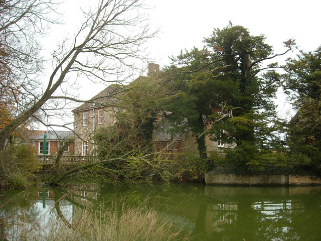
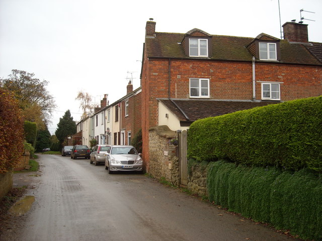
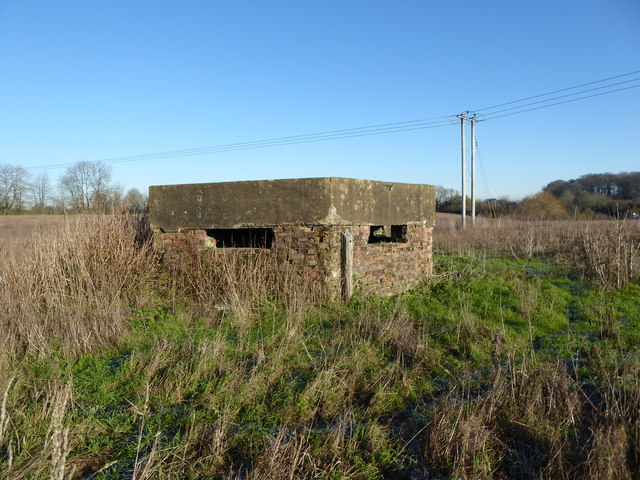
Images are sourced within 2km of 51.52944/-1.9545429 or Grid Reference SU0381. Thanks to Geograph Open Source API. All images are credited.

From a Swindon-Bristol train, Hart Farm
From a Swindon-Bristol train, disused signal-box
From a Swindon-Bristol train, lone tree in fields near Trow Lane
From a Swindon-Bristol train, fields near Trow Lane
From a Swindon-Bristol train, fields near Bowd's farm
2011 : A3102 South View heading north east On the edge of Lyneham toward Wootton Bassett.
2011 : A3102 South View heading north east
On the edge of Lyneham toward Wootton Bassett.
2011 : Lane and footpath north of Lyneham Off the A3102. Heads north down the escarpment to Waite Hill Farm then joins Sodom Lane.
2011 : Lane and footpath north of Lyneham
Off the A3102. Heads north down the escarpment to Waite Hill Farm then joins Sodom Lane.
2011 : A3102 heading south west to Lyneham Just over half a mile to go then on to Melksham.
2011 : A3102 heading south west to Lyneham
Just over half a mile to go then on to Melksham.
Meadow Court, Tockenham A shallow Georgian brick front to a C17th house. The squashed windows either side of the door are often found in early C18th houses of this sort. All windows have "odd ornament on the windows lintels". Dated 1730. Grade II listed.
Meadow Court, Tockenham
A shallow Georgian brick front to a C17th house. The squashed windows either side of the door are often found in early C18th houses of this sort. All windows have "odd ornament on the windows lintels". Dated 1730. Grade II listed.
Queen Court Farm and moat Grade II listed farmhouse, <span class="nowrap"><a title="http://www.britishlistedbuildings.co.uk/en-316776-queen-s-court-farmhouse-tockenham-#.VjombP8nyUk" rel="nofollow ugc noopener" href="http://www.britishlistedbuildings.co.uk/en-316776-queen-s-court-farmhouse-tockenham-#.VjombP8nyUk">Link</a><img style="margin-left:2px;" alt="External link" title="External link - shift click to open in new window" src="https://s1.geograph.org.uk/img/external.png" width="10" height="10"/></span> 18th century or earlier, built on the site of an earlier moated house.
Queen Court Farm and moat
Grade II listed farmhouse, LinkExternal link 18th century or earlier, built on the site of an earlier moated house.
Greenway, Tockenham Village street and houses.
Greenway, Tockenham
Village street and houses.
WW2 Pillbox, Farthing Lane, Lyneham WW2 brick pillbox in field off Farthing Lane.
WW2 Pillbox, Farthing Lane, Lyneham
WW2 brick pillbox in field off Farthing Lane.
Farthing Lane, Lyneham An "other route with public access".
Farthing Lane, Lyneham
An "other route with public access".
Lilly Brook The valley through which Lilly Brook flows.
Lilly Brook
The valley through which Lilly Brook flows.
Ford on the Lilly Brook This ford and footbridge are found on a track over Lilly Brook.
Ford on the Lilly Brook
This ford and footbridge are found on a track over Lilly Brook.
Cottages, The Green, Lyneham On the road to Wootton Bassett, A3102.
Cottages, The Green, Lyneham
On the road to Wootton Bassett, A3102.
Primrose Hill Country lane near Tockenham.
Primrose Hill
Country lane near Tockenham.
Leaving Tockenham Road east towards Primrose Hill.
Leaving Tockenham
Road east towards Primrose Hill.
Show me another place!

West Close Copse is located at Grid Ref: SU0381 (Lat: 51.52944, Lng: -1.9545429)

Unitary Authority: Wiltshire

Police Authority: Wiltshire

What 3 Words

///afraid.ferried.spare. Near Lyneham, Wiltshire

Related Wikis

Tockenham

Tockenham is a village and civil parish in north Wiltshire, England. The village is about 1.2 miles (1.9 km) east of Lyneham and 3 miles (5 km) southwest...

Lyneham, Wiltshire

Lyneham is a large village in north Wiltshire, England, within the civil parish of Lyneham and Bradenstoke, and situated 4 miles (6.4 km) southwest of...

REME Museum

The REME Museum is within the MoD Lyneham site, in Lyneham, Wiltshire, England, about 9 miles (14 km) southwest of Swindon. The museum holds collections...

Royal Agricultural University

The Royal Agricultural University (RAU), formerly the Royal Agricultural College, is a public university in Cirencester, Gloucestershire, England. Established...

Nearby Amenities

Located within 500m of 51.52944,-1.9545429
Barrier: stile
Stile: stepover
Lat/Long: 51.5315375/-1.9502463
Ford: yes
Lat/Long: 51.5307689/-1.9587706
The data included in this document is from www.openstreetmap.org. The data is made available under ODbL.

Have you been to West Close Copse?

Leave your review of West Close Copse below (or comments, questions and feedback).