Big Wood
Wood, Forest in Staffordshire Staffordshire Moorlands
England
Big Wood
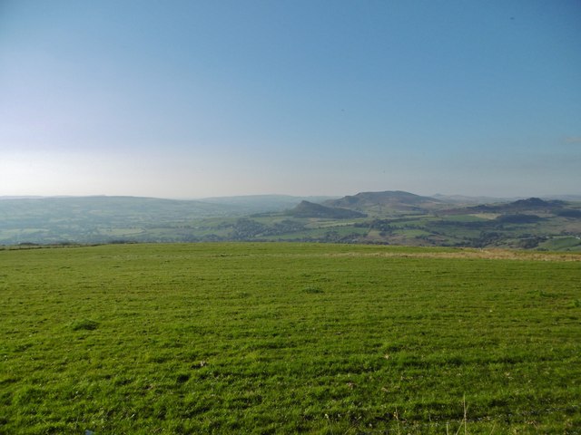
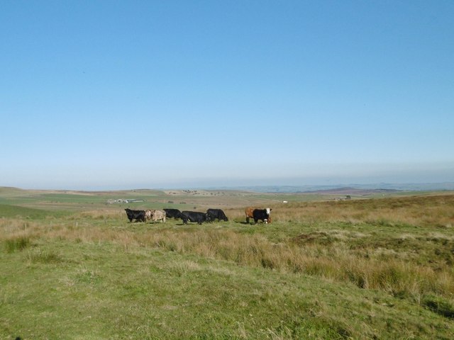
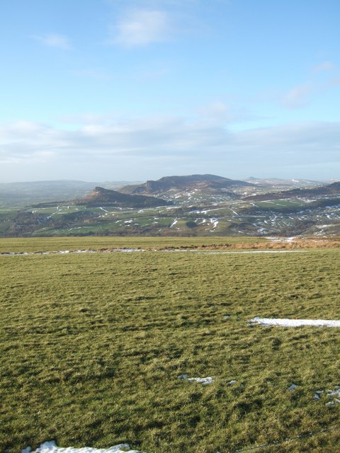
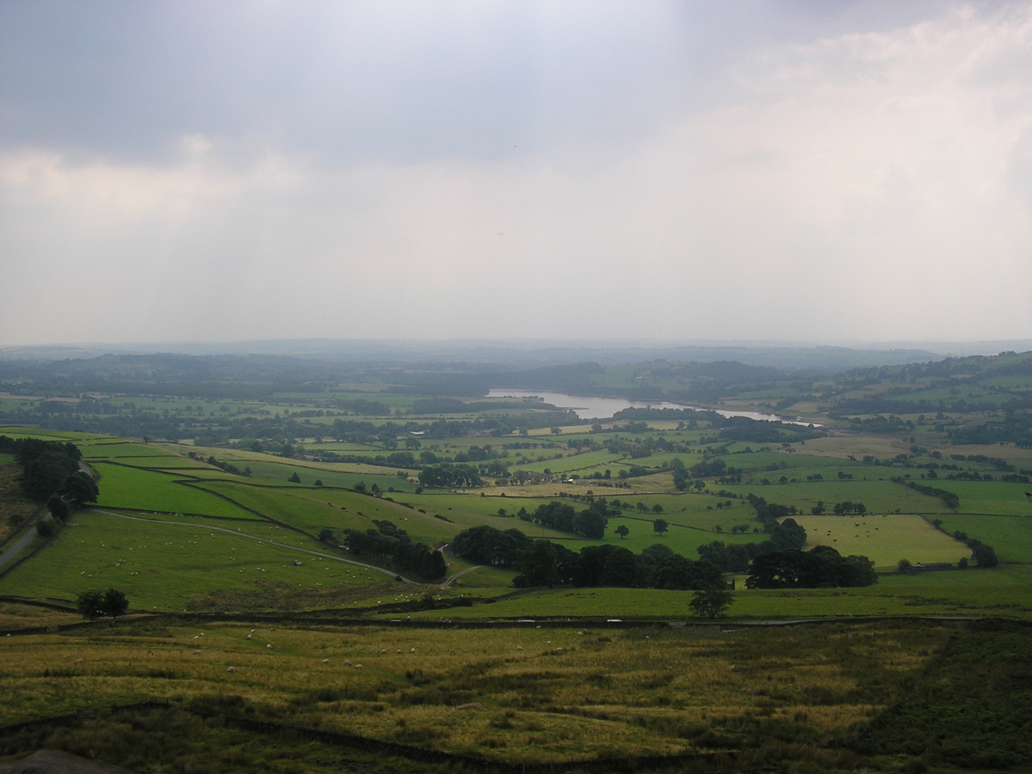
Big Wood, Staffordshire is a renowned forested area located in the county of Staffordshire, England. Spanning over a vast expanse, the wood covers an approximate area of several hundred acres. Nestled amidst the picturesque landscape, Big Wood is a popular destination for nature lovers, hikers, and wildlife enthusiasts.
The wood is characterized by its rich biodiversity, boasting a diverse array of flora and fauna. Towering oak, beech, and birch trees dominate the wood, casting a dense canopy that provides shade and shelter to numerous species of plants and animals. The forest floor is carpeted with an assortment of wildflowers, ferns, and mosses, creating a vibrant and enchanting atmosphere.
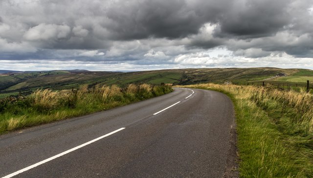
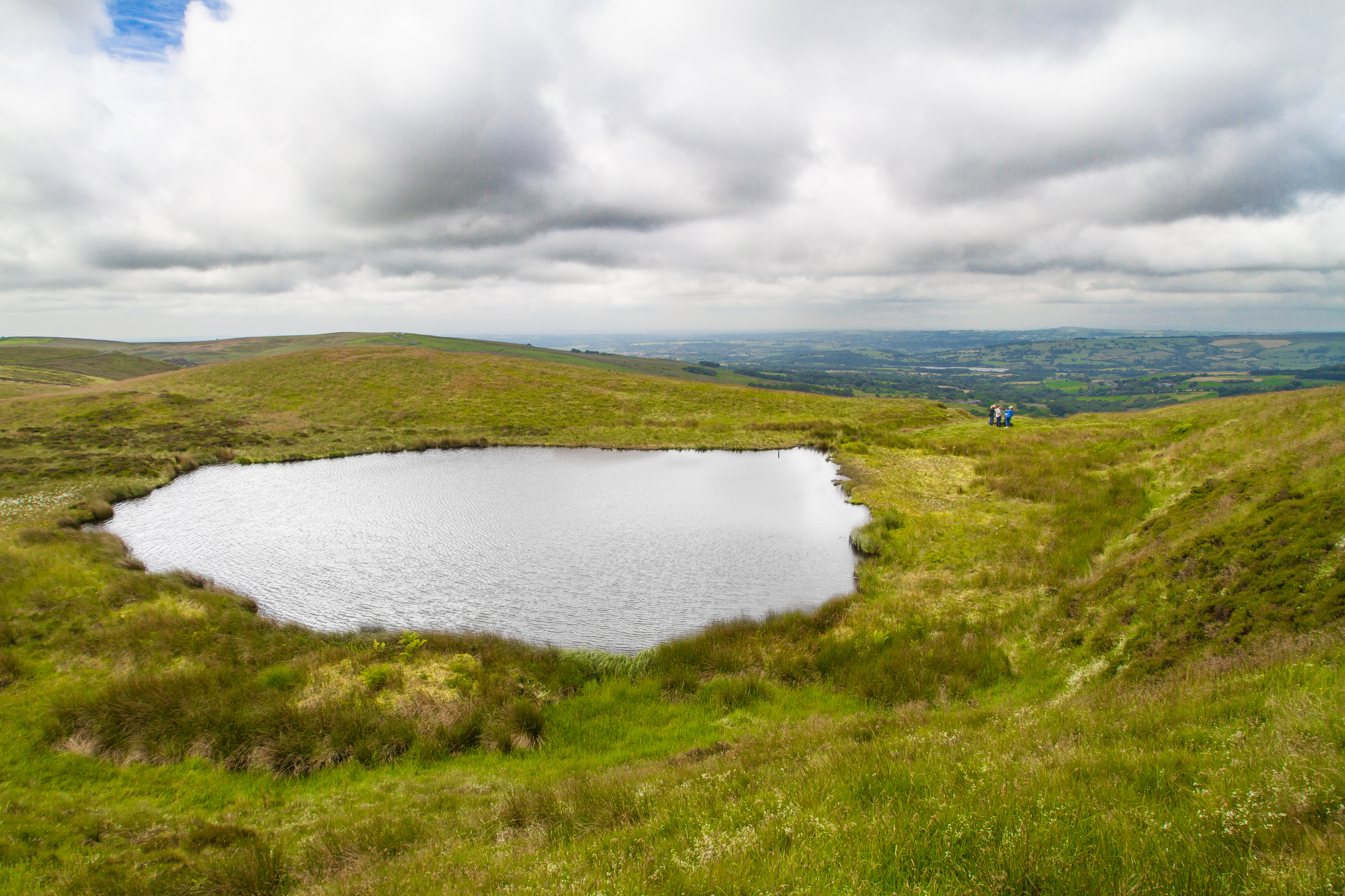
The wood is crisscrossed by a network of well-maintained walking trails, allowing visitors to explore its hidden treasures. Along these trails, visitors may encounter an assortment of wildlife, including deer, squirrels, foxes, and an array of bird species. It is not uncommon to spot woodpeckers, owls, and various songbirds amidst the tranquil surroundings.
Big Wood offers a variety of recreational activities for visitors to enjoy. Many people take advantage of the numerous picnic spots and designated camping areas to spend a day or weekend immersed in nature. Additionally, the wood provides an idyllic setting for photography, painting, and other artistic pursuits.
Overall, Big Wood, Staffordshire is a captivating and serene location that offers a unique opportunity to escape the hustle and bustle of daily life and reconnect with nature. Its stunning beauty and abundant wildlife make it a destination that is cherished by locals and visitors alike.
If you have any feedback on the listing, please let us know in the comments section below.
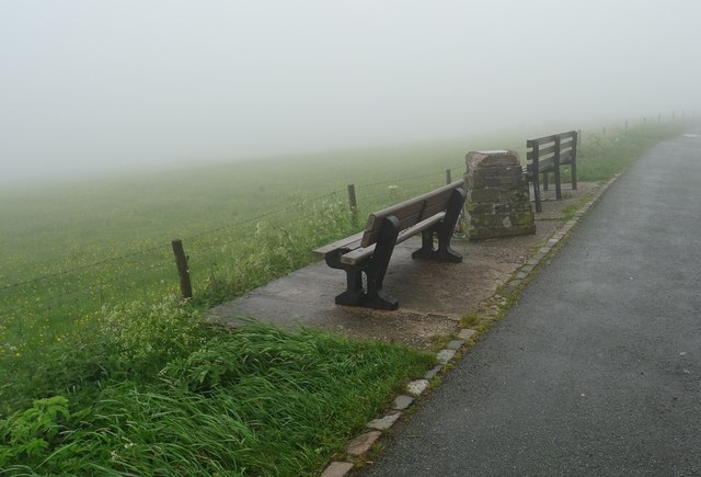
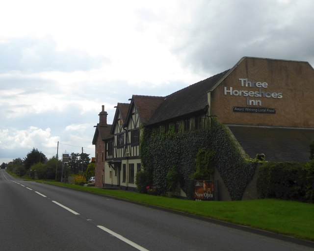
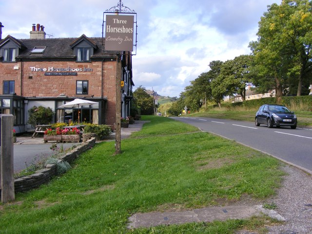
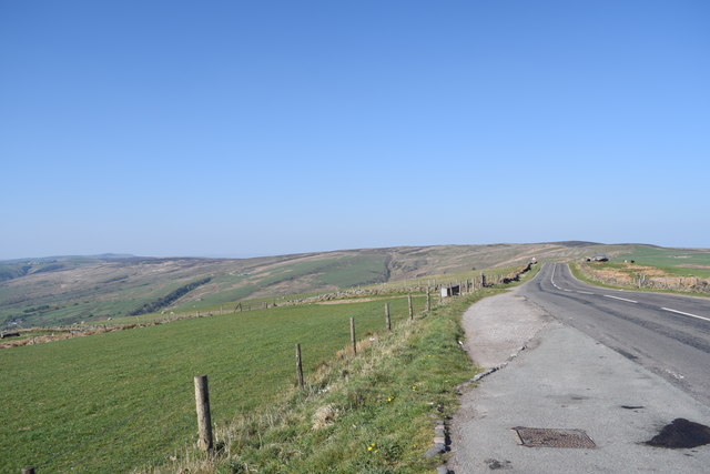
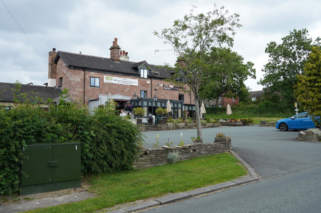
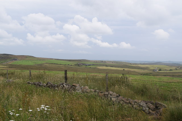
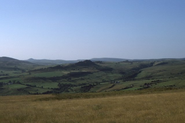
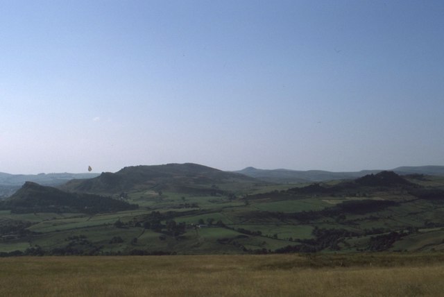
Big Wood Images
Images are sourced within 2km of 53.145518/-1.9654683 or Grid Reference SK0260. Thanks to Geograph Open Source API. All images are credited.
Big Wood is located at Grid Ref: SK0260 (Lat: 53.145518, Lng: -1.9654683)
Administrative County: Staffordshire
District: Staffordshire Moorlands
Police Authority: Staffordshire
What 3 Words
///commutes.farm.poster. Near Leek, Staffordshire
Nearby Locations
Related Wikis

River Hamps
The River Hamps is a river in Staffordshire, England. It is a tributary of the River Manifold, which itself flows into the River Dove near Ilam. For much...
Blakemere Pond
Blakemere Pond, also known as Black Mere Pool or Mermaid's Pond, is a small, natural lake in Staffordshire, England, six miles north-west of Leek. The...

Merryton Low
Merryton Low is a hill in Staffordshire, England, a few miles east of Leek. It is in the civil parish of Fawfieldhead in the local government district...
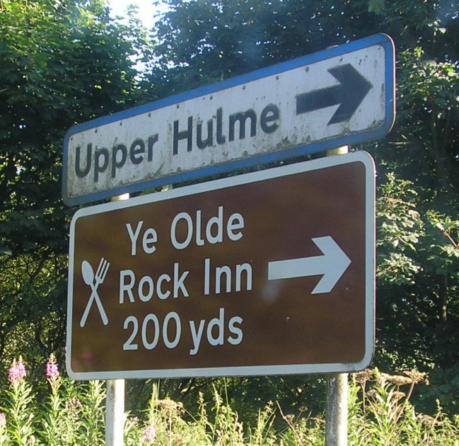
Upper Hulme
Upper Hulme is a hamlet in North Staffordshire, between the historic market town of Leek and the spa town of Buxton. It is clustered around a redundant...

Thorncliffe, Staffordshire
Thorncliffe is a small village in Staffordshire, England, straddling the Staffordshire Moorlands and Peak District National Park. By 1600 the name Thorncliffe...

Heathylee
Heathylee is a civil parish in the district of Staffordshire Moorlands in north-east Staffordshire, England. There is no village centre. The parish has...

Tittesworth
Tittesworth is a civil parish in the Staffordshire Moorlands, in Staffordshire, England. It extends from the edge of the town of Leek in the south-west...
Tittesworth reservoir
Tittesworth Reservoir is a water storage reservoir near Leek, Staffordshire, England, fed by the River Churnet. The reservoir and associated water treatment...
Nearby Amenities
Located within 500m of 53.145518,-1.9654683Have you been to Big Wood?
Leave your review of Big Wood below (or comments, questions and feedback).