Cuan
Settlement in Argyllshire
Scotland
Cuan
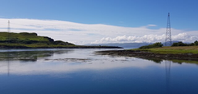
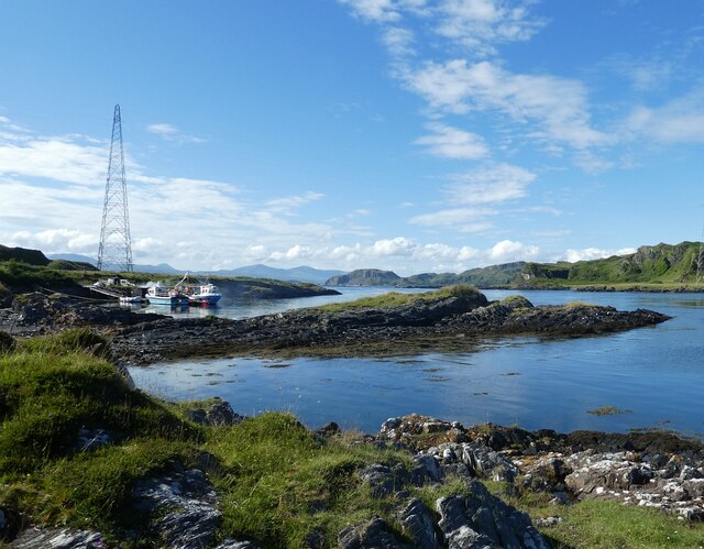
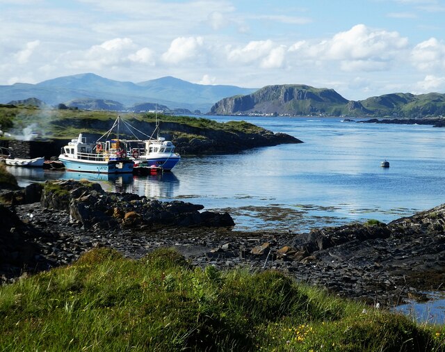
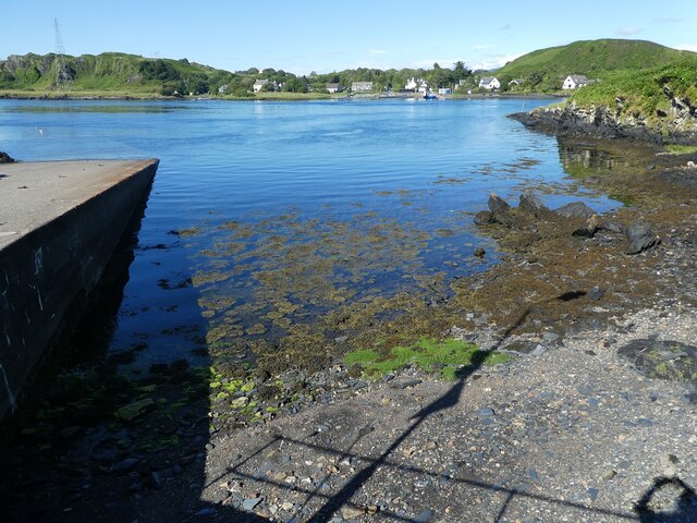
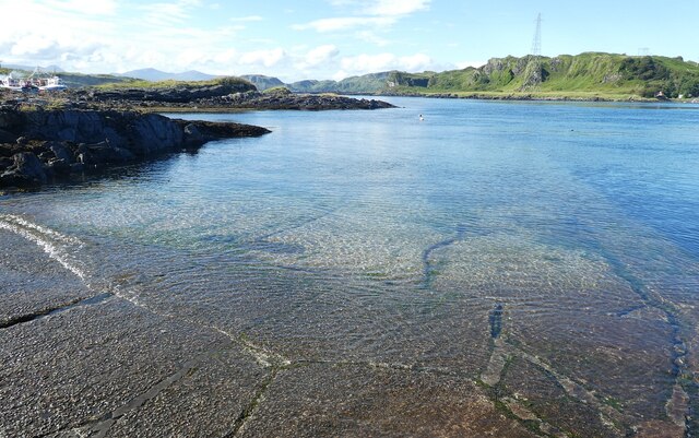
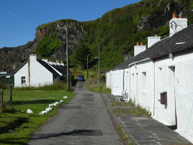
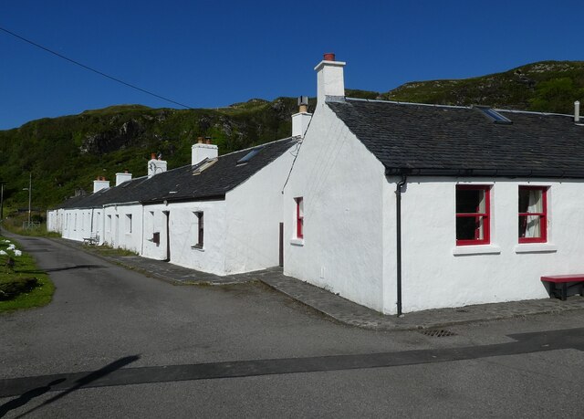
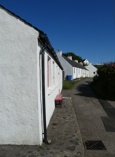
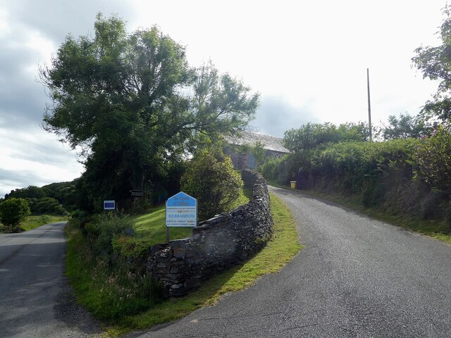
Cuan is a small village located in Argyllshire, Scotland. It is situated on the western coast of the country, overlooking the Sound of Jura. The village is known for its picturesque surroundings, with rolling hills and lush greenery providing a tranquil and scenic setting for residents and visitors alike.
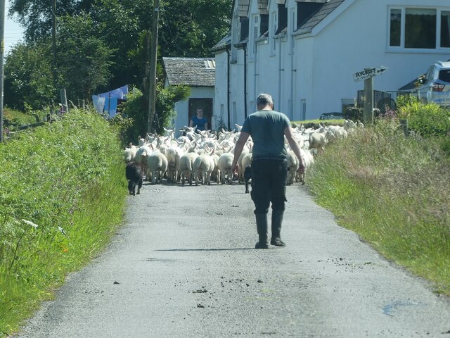
Cuan is a popular destination for those looking to explore the natural beauty of the Scottish countryside. The village is surrounded by walking trails and hiking routes, making it an ideal location for outdoor enthusiasts. The nearby coastline also offers opportunities for fishing and boating, with stunning views of the surrounding islands.
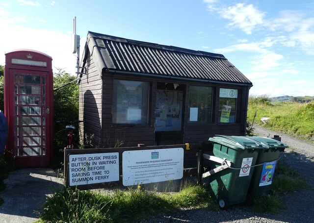
In terms of amenities, Cuan is a quiet and peaceful village, with a small population and a close-knit community. There are a few local shops and pubs in the village, providing essential services for residents. The village is also well-connected to nearby towns and cities, making it a convenient base for exploring the wider Argyllshire region.
Overall, Cuan is a charming and idyllic village, offering a peaceful retreat for those looking to escape the hustle and bustle of city life and immerse themselves in the natural beauty of the Scottish countryside.
If you have any feedback on the listing, please let us know in the comments section below.
Cuan Images
Images are sourced within 2km of 56.268969/-5.628386 or Grid Reference NM7514. Thanks to Geograph Open Source API. All images are credited.
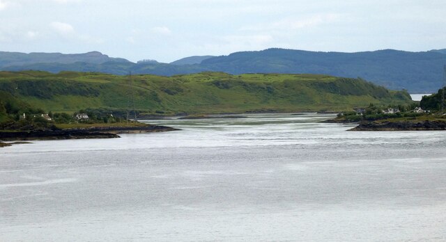
![Torsa from Luing The land in the foreground is the western coast of the isle of Luing at its northern end, looking across to the uninhabited isle of Torsa.
Torsa is almost connected (fordable at low tide) to Luing near Ardinamir Bay.
Although no longer permanently inhabited since the early 1960s, it is possible to stay in a holiday let in the island&#039;s only remaining house - see <span class="nowrap"><a title="https://torsa-island.co.uk" rel="nofollow ugc noopener" href="https://torsa-island.co.uk">Link</a><img style="margin-left:2px;" alt="External link" title="External link - shift click to open in new window" src="https://s1.geograph.org.uk/img/external.png" width="10" height="10"/></span>
The island has never had a large population, but at the beginning of the C19th there were eleven families living here. It has an area of 113ha (280 acres) and its highest point, 62m (203&#039;) is an unnamed hill in the centre of the island.
See also <a href="https://www.geograph.org.uk/photo/7258530">NM7512 : Torsa Beag and Sgeir a' Bhodaich from Luing</a>
[Edit Late 2023] The entire island of Torsa comprising Torsa, Torsa Beag, Eilean na h-Eaglaise, and their reclaimed foreshore is currently up for sale for &quot;offers over £1.5m&quot; - you do get about 270 acres and several buildings for your money though! See <span class="nowrap"><a title="https://island-seeker.com/islands-for-sale/scotland" rel="nofollow ugc noopener" href="https://island-seeker.com/islands-for-sale/scotland">Link</a><img style="margin-left:2px;" alt="External link" title="External link - shift click to open in new window" src="https://s1.geograph.org.uk/img/external.png" width="10" height="10"/></span>](https://s2.geograph.org.uk/geophotos/07/25/83/7258358_d28f3352.jpg)


Cuan is located at Grid Ref: NM7514 (Lat: 56.268969, Lng: -5.628386)
Unitary Authority: Argyll and Bute
Police Authority: Argyll and West Dunbartonshire
What 3 Words
///bulletins.candles.fade. Near Lochbuie, Argyll & Bute
Nearby Locations
Related Wikis

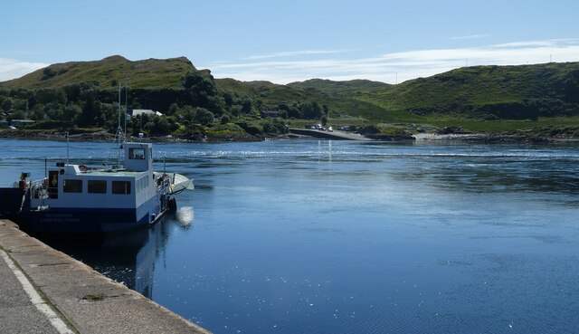
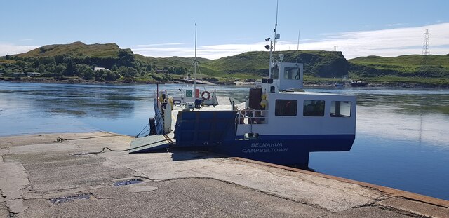
Cuan Sound
Cuan Sound is a narrow channel, 200 metres (660 ft) wide, located in Argyll, western Scotland. It separates Seil and Luing and later becomes the Firth...

Torsa
Torsa (occasionally Torsay) is one of the Slate Islands in Argyll and Bute, Scotland. Lying east of Luing and south of Seil, this tidal island was inhabited...

Slate Islands
The Slate Islands are an island group in the Inner Hebrides, lying immediately off the west coast of Scotland, north of Jura and southwest of Oban. The...
Balvicar
Balvicar (Scottish Gaelic: Baile a' Bhiocair) is a village on the island of Seil, a small island seven miles (eleven kilometres) southwest of Oban, Scotland...
Nearby Amenities
Located within 500m of 56.268969,-5.628386Have you been to Cuan?
Leave your review of Cuan below (or comments, questions and feedback).