Bythesea's Grove
Wood, Forest in Gloucestershire Cotswold
England
Bythesea's Grove

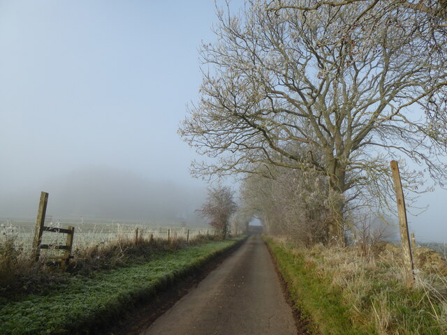
Bythesea's Grove is a picturesque woodland located in Gloucestershire, England. Situated in the heart of the county, it is a popular destination for nature enthusiasts, hikers, and those seeking a tranquil escape from the bustling city life.
Covering an area of approximately 100 acres, Bythesea's Grove is predominantly composed of deciduous trees, including oak, beech, and ash. The dense forest canopy creates a cool and shaded environment, particularly during the summer months, making it an ideal spot for leisurely walks and outdoor activities.
The forest floor is adorned with a rich variety of flora, such as bluebells, wild garlic, and ferns, which add to the area's natural beauty. The Grove is also home to an abundance of wildlife, including deer, foxes, badgers, and a multitude of bird species, making it a haven for wildlife enthusiasts and birdwatchers.
Several well-maintained trails wind through the woodland, offering visitors the opportunity to explore the Grove's diverse ecosystem. These trails vary in difficulty, ensuring there is something suitable for all ages and fitness levels. Along the trails, visitors will discover peaceful streams, charming bridges, and occasional clearings perfect for picnics or simply unwinding amidst the serenity of nature.
Bythesea's Grove is easily accessible, with ample parking facilities available. It is also conveniently located near the town of Gloucester and other nearby attractions, making it an ideal day trip destination for both locals and tourists.
Overall, Bythesea's Grove is a captivating woodland oasis that offers an immersive and rejuvenating experience in the heart of Gloucestershire, making it a must-visit for anyone seeking solace in nature's embrace.
If you have any feedback on the listing, please let us know in the comments section below.
Bythesea's Grove Images
Images are sourced within 2km of 51.773064/-1.9770829 or Grid Reference SP0108. Thanks to Geograph Open Source API. All images are credited.


Bythesea's Grove is located at Grid Ref: SP0108 (Lat: 51.773064, Lng: -1.9770829)
Administrative County: Gloucestershire
District: Cotswold
Police Authority: Gloucestershire
What 3 Words
///protester.cork.foods. Near Stratton, Gloucestershire
Nearby Locations
Related Wikis

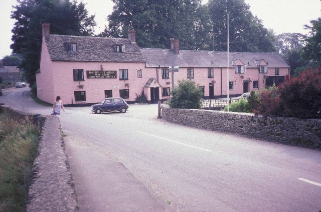
North Cerney
North Cerney is a village and civil parish in the English county of Gloucestershire, and lies within the Cotswolds, a range of hills designated an Area...
Rendcomb
Rendcomb is a village in the Cotswold local authority area of the English county of Gloucestershire. It is about five miles north of Cirencester in the...
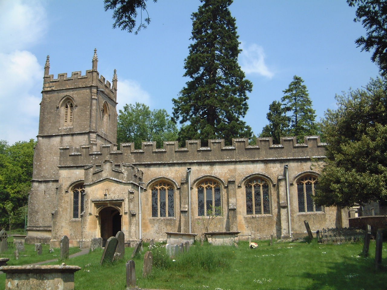
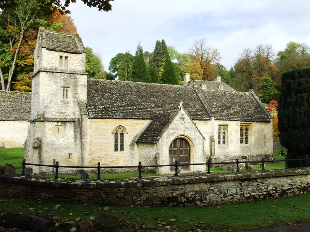
Church of St Peter, Rendcomb
The Anglican Church of St Peter within the grounds of Rendcomb College at Rendcomb in the Cotswold District of Gloucestershire, England was rebuilt in...

Woodmancote, Cirencester
Woodmancote is a Cotswolds village near Cirencester, Gloucestershire, England. The village lies just off the A435. The village is 0.2 square miles (52...
Rendcomb College
Rendcomb College is a public school (English private boarding and day school) for pupils aged 3–18, located in the village of Rendcomb five miles north...
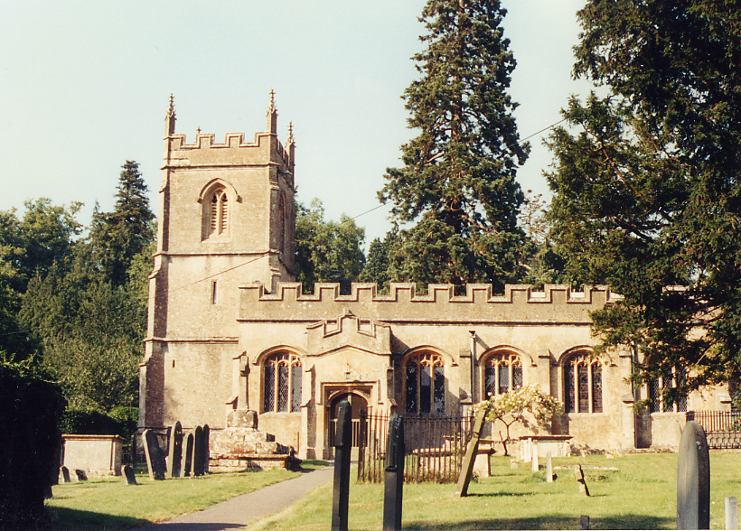
Church of St Margaret, Bagendon
The Anglican Church of St Margaret at Bagendon in the Cotswold District of Gloucestershire, England was built in the 12th century. It is a grade I listed...
Bagendon
Bagendon is a village and civil parish in the Cotswold district of Gloucestershire, England, about four miles north of Cirencester. According to the 2001...

A417 road
The A417 is a main road in England running from Streatley, Berkshire to Hope under Dinmore, Herefordshire. It is best known for its section between Cirencester...
Nearby Amenities
Located within 500m of 51.773064,-1.9770829Have you been to Bythesea's Grove?
Leave your review of Bythesea's Grove below (or comments, questions and feedback).