Clifferdine Wood

Wood, Forest in Gloucestershire Cotswold

England

Clifferdine Wood

Farm Woodlands This farm is high on the Cotswolds to the south of Withington Woods.
Farm Woodlands Credit: Philip Halling

Clifferdine Wood is a picturesque forest located in Gloucestershire, England. Spanning over a vast area, this woodland is a haven for nature enthusiasts and offers a tranquil retreat from the bustling city life. The forest is situated near the village of Clifferdine, and its rich biodiversity makes it a popular destination for both locals and tourists.

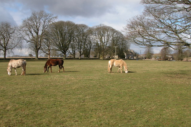
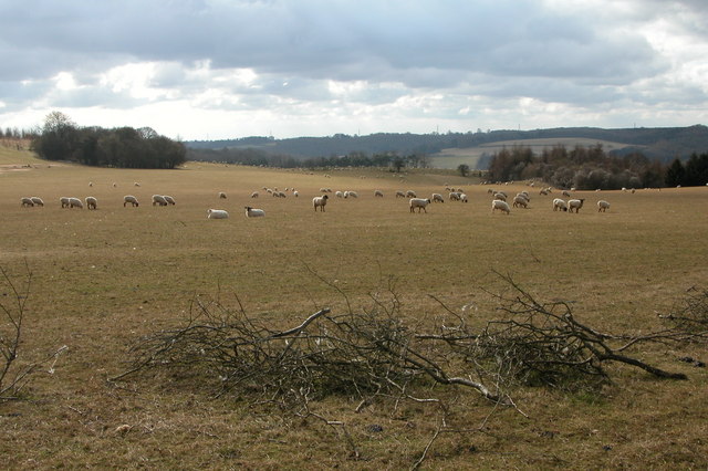
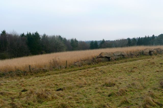
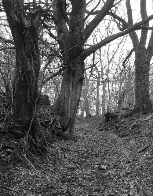
Covering an extensive area of mixed woodland, Clifferdine Wood boasts a diverse range of tree species, including oak, beech, and birch. The forest floor is adorned with an array of wildflowers, creating a vibrant and colorful landscape. The wood is also home to various wildlife species, such as deer, foxes, and a wide variety of bird species, making it a prime location for nature lovers and bird watchers.

The forest offers several walking trails that wind through its enchanting paths, providing visitors with the opportunity to explore its natural beauty. These trails are well-maintained and suitable for all levels of fitness, making it an accessible destination for families and individuals alike.

In addition to its natural allure, Clifferdine Wood also has historical significance. The wood has remnants of ancient earthworks and archaeological sites, adding an element of intrigue to the area. These historical features make it an interesting place for history enthusiasts to explore and learn about the region's past.

Overall, Clifferdine Wood in Gloucestershire is an idyllic forest that offers a peaceful escape into nature. With its diverse flora and fauna, well-maintained trails, and historical significance, it is a must-visit destination for anyone seeking a serene and enchanting woodland experience.

If you have any feedback on the listing, please let us know in the comments section below.

Clifferdine Wood Images

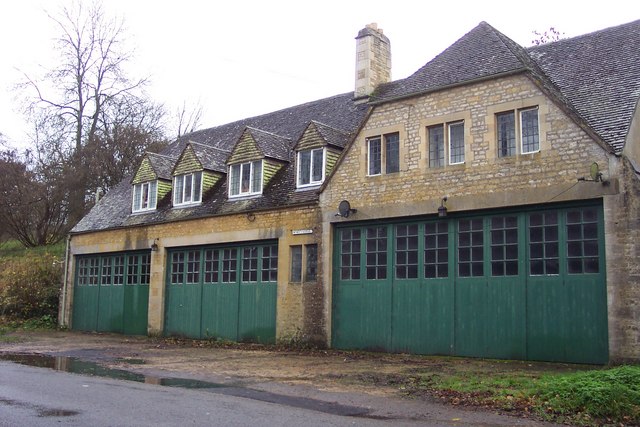
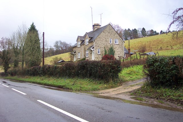
Images are sourced within 2km of 51.800325/-1.9787514 or Grid Reference SP0111. Thanks to Geograph Open Source API. All images are credited.

Farm Woodlands This farm is high on the Cotswolds to the south of Withington Woods.
Farm Woodlands
This farm is high on the Cotswolds to the south of Withington Woods.
Ridge and Furrow field, near Colesbourne Evidence of medieval farming practices on this field to the south-west of the farm at Woodlands.
Ridge and Furrow field, near Colesbourne
Evidence of medieval farming practices on this field to the south-west of the farm at Woodlands.
Sheep grazing near Colesbourne Today much of the Cotswolds is arable, here the land is used for the traditional use of sheep grazing. In Medieval times wool was a major export and the churches and manor houses of the Cotswolds reflect the wealth the wool trade created.
Sheep grazing near Colesbourne
Today much of the Cotswolds is arable, here the land is used for the traditional use of sheep grazing. In Medieval times wool was a major export and the churches and manor houses of the Cotswolds reflect the wealth the wool trade created.
Valley between Monkham Wood and Boy's Grove This valley is above Colesbourne. A bridleway can be seen as it crosses through the valley en-route between Colesbourne and Chedworth.
Valley between Monkham Wood and Boy's Grove
This valley is above Colesbourne. A bridleway can be seen as it crosses through the valley en-route between Colesbourne and Chedworth.
Behind the gate of Bennett Farm, Law Offices. With a flash flood in progress.
Behind the gate of Bennett Farm, Law Offices.
With a flash flood in progress.
This building is called Memory Lodge. Situated by the A435 between Colesbourne and Rendcomb
This building is called Memory Lodge.
Situated by the A435 between Colesbourne and Rendcomb
Cottages near Marsden in the Cotswolds
A shed at Northmoor Farm
Dustbins outside Aycot Farm
Green fields and barns near Rendcomb The barns are so new that they are not on current OS maps.
Green fields and barns near Rendcomb
The barns are so new that they are not on current OS maps.
Entrance to sports fields belonging to Rendcomb College.
Dead tree in the pasture.
Cottages by lane to Chittlegrove
Scots pines on the White Way This is the White Way, a minor Roman road from Cirencester to Chedworth villa.  Yes, apparently even the Romans had "B" roads.  The pines are an interest in an otherwise very flat landscape.
Scots pines on the White Way
This is the White Way, a minor Roman road from Cirencester to Chedworth villa. Yes, apparently even the Romans had "B" roads. The pines are an interest in an otherwise very flat landscape.
Green Meadow Farm The name is fairly apt, but it is a wheat field not a meadow.  Looking north west from the minor road between Rendcomb and the White Way.  At the trees the land falls away rapidly into a minor north-south valley.
Green Meadow Farm
The name is fairly apt, but it is a wheat field not a meadow. Looking north west from the minor road between Rendcomb and the White Way. At the trees the land falls away rapidly into a minor north-south valley.
Standing on the line The Two Degrees West line at this point is rather uninspiring.  Looking towards Penhill Plantation which covers most of the western half of the square.
Standing on the line
The Two Degrees West line at this point is rather uninspiring. Looking towards Penhill Plantation which covers most of the western half of the square.
Old Roman Road Now a bridleway but, once a roman road to Chedworth
Old Roman Road
Now a bridleway but, once a roman road to Chedworth
Road bridge over the river Churn at Marsden undergoing repairs
Show me another place!

Clifferdine Wood is located at Grid Ref: SP0111 (Lat: 51.800325, Lng: -1.9787514)

Administrative County: Gloucestershire

District: Cotswold

Police Authority: Gloucestershire

What 3 Words

///cookie.scale.scribbled. Near Stratton, Gloucestershire

Nearby Locations

Clifferdine Wood

Related Wikis

Rendcomb College

Rendcomb College is a public school (English private boarding and day school) for pupils aged 3–18, located in the village of Rendcomb five miles north...

Cotswold Hills Geopark

A swathe of the Cotswold Hills almost 60 miles long has been proposed as the Cotswold Hills Geopark. The Geopark project offers educational resources on...

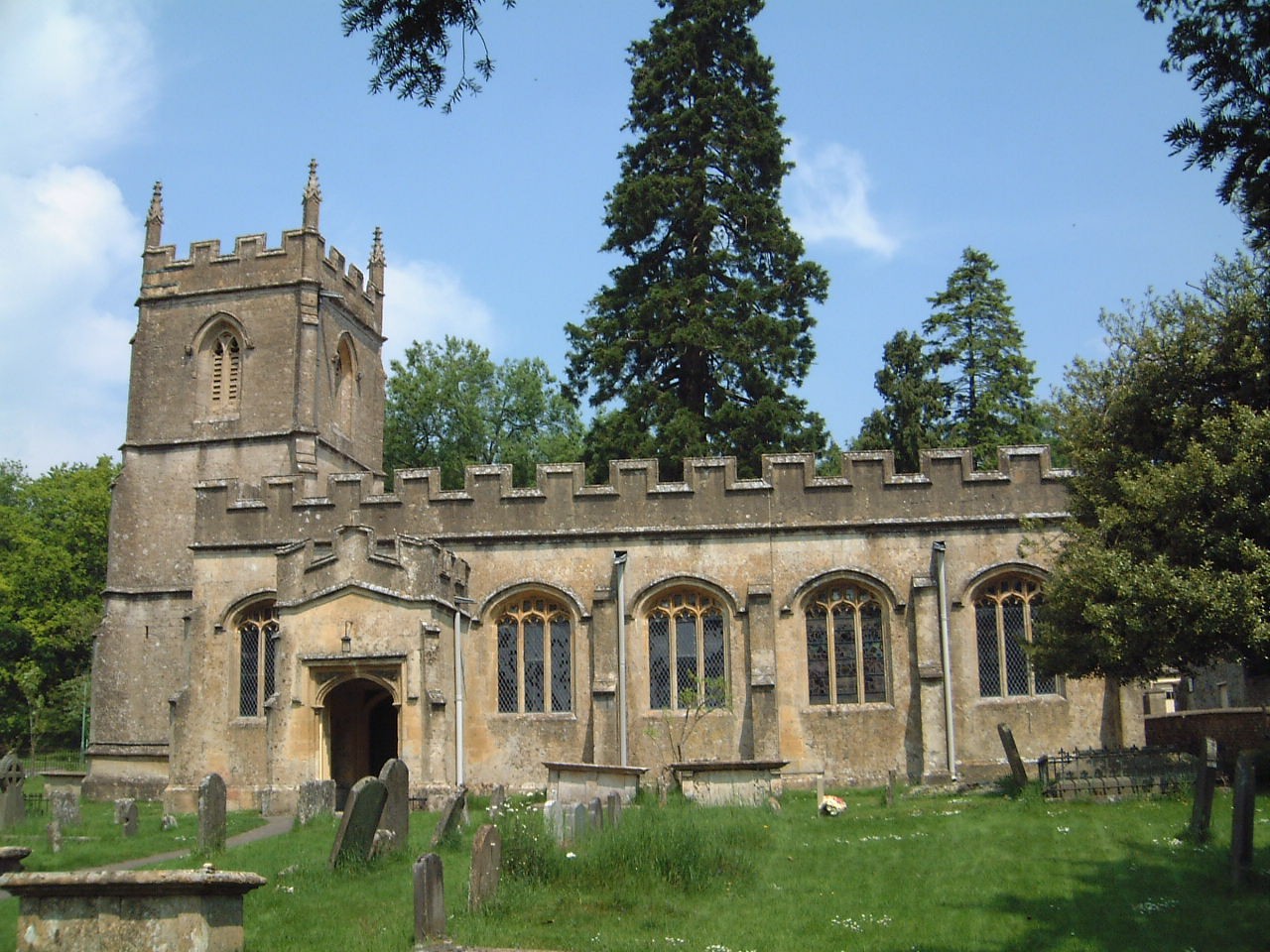
Church of St Peter, Rendcomb

The Anglican Church of St Peter within the grounds of Rendcomb College at Rendcomb in the Cotswold District of Gloucestershire, England was rebuilt in...

Rendcomb

Rendcomb is a village in the Cotswold local authority area of the English county of Gloucestershire. It is about five miles north of Cirencester in the...

Nearby Amenities

Located within 500m of 51.800325,-1.9787514
Power: pole
Source: bing
Lat/Long: 51.803981/-1.9829033
Power: pole
Source: bing
Lat/Long: 51.8044592/-1.9812564
Power: pole
Source: bing
Lat/Long: 51.8042885/-1.9820058
Power: pole
Source: bing
Lat/Long: 51.8040014/-1.9809365
Power: pole
Source: bing
Lat/Long: 51.8040862/-1.9796972
Power: pole
Source: bing
Lat/Long: 51.8042037/-1.9780393
Power: pole
Source: bing
Lat/Long: 51.8042557/-1.9767543
Power: pole
Source: bing
Lat/Long: 51.8038239/-1.9750817
Power: pole
Source: bing
Lat/Long: 51.8031209/-1.973773
Power: pole
Source: bing
Lat/Long: 51.8020459/-1.973497
Power: pole
Source: bing
Transformer: distribution
Lat/Long: 51.8011609/-1.9732666
Power: pole
Source: bing
Lat/Long: 51.7998632/-1.9729212
Power: pole
Source: bing
Lat/Long: 51.7987249/-1.9726397
The data included in this document is from www.openstreetmap.org. The data is made available under ODbL.

Have you been to Clifferdine Wood?

Leave your review of Clifferdine Wood below (or comments, questions and feedback).