Steven's Plantation

Wood, Forest in Staffordshire

England

Steven's Plantation

M5 from the Tame Valley Canal M5 Aqueduct
M5 from the Tame Valley Canal M5 Aqueduct Credit: Ian S

Steven's Plantation is a picturesque woodland located in Staffordshire, England. Spread across a sprawling area, it is a haven for nature lovers and outdoor enthusiasts. The plantation is characterized by its dense forest cover, consisting of a variety of trees such as oak, birch, beech, and pine.

The woodland is known for its well-maintained walking trails that meander through the trees, offering visitors the opportunity to immerse themselves in the tranquility of nature. These trails are suitable for all levels of fitness, making it an ideal destination for families, hikers, and dog-walkers alike. Along the trails, visitors may encounter a diverse range of flora and fauna, including wildflowers, ferns, and various bird species.

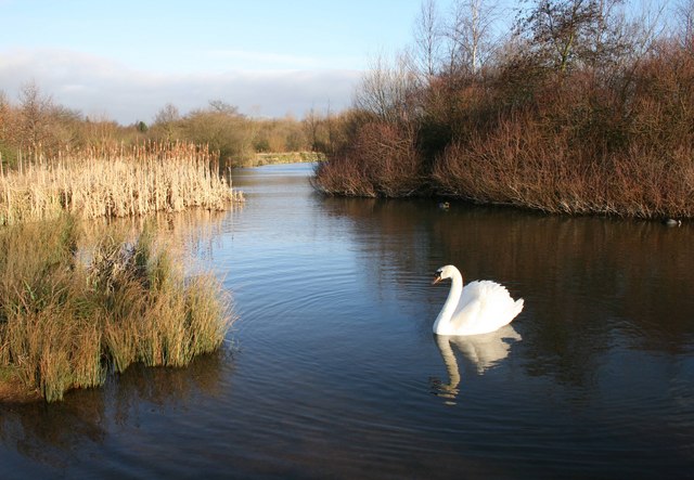
One of the notable features of Steven's Plantation is its ancient oak trees, some of which are believed to be hundreds of years old. These majestic giants stand tall and provide a habitat for numerous wildlife species, including squirrels, rabbits, and various bird species. The plantation also boasts a small pond, adding to its natural charm and attracting aquatic life such as ducks and frogs.

In addition to its natural beauty, Steven's Plantation offers recreational activities for visitors. There are designated picnic areas where visitors can enjoy a meal amidst the serene surroundings. The woodland also hosts educational programs and events, providing an opportunity for people to learn about conservation and environmental sustainability.

Overall, Steven's Plantation in Staffordshire is a captivating destination where visitors can connect with nature, explore its diverse ecosystem, and enjoy the tranquility of the forest.

If you have any feedback on the listing, please let us know in the comments section below.

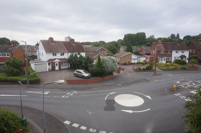
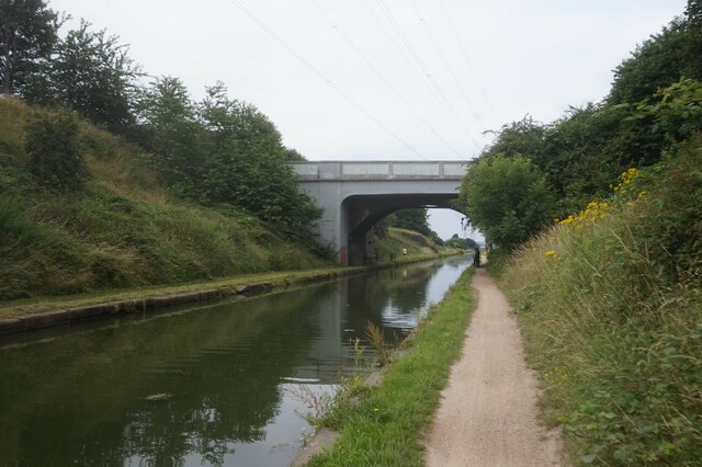
Steven's Plantation Images

Images are sourced within 2km of 52.533711/-1.9784626 or Grid Reference SP0192. Thanks to Geograph Open Source API. All images are credited.

M5 from the Tame Valley Canal M5 Aqueduct
Looking south from the M5 Aqueduct, Tame Valley Canal
Tame Valley Canal towards Taylors Aqueduct
Railway line from Taylors Aqueduct, Tame Valley Canal
Beaconview Road, Clarlemont, West Bromwich Taken from the Tame Valley Canal.
Beaconview Road, Clarlemont, West Bromwich
Taken from the Tame Valley Canal.
Tame Valley Canal towards Friar Park Bridge
Beaconview Road, Clarlemont, West Bromwich Taken from the Tame Valley Canal.
Beaconview Road, Clarlemont, West Bromwich
Taken from the Tame Valley Canal.
Tame Valley Canal towards Friar Park Bridge
Burghley Drive off Beaconview Road, Clarlemont, West Bromwich
A4031 Walsall Road at the Tame Valley Canal
Tame Valley Canal from Friar Park Bridge
Tame Valley Canal at Friar Park Bridge
Tame Valley Canal towards Friar Park Farm Bridge
Tame Valley Canal at Friar Park Farm Bridge
Tame Valley Canal towards Crankhall Lane Bridge
Tame Valley Canal at Crankhall Lane Bridge
Show me another place!

Steven's Plantation is located at Grid Ref: SP0192 (Lat: 52.533711, Lng: -1.9784626)

Unitary Authority: Sandwell

Police Authority: West Midlands

What 3 Words

///regard.rainy.stream. Near West Bromwich, West Midlands

Related Wikis

Sot's Hole Local Nature Reserve

Sot's Hole is a local nature reserve in West Midlands, England. It is on the west side of Sandwell Valley, and north-east of West Bromwich. == Description... ==

West Bromwich East (UK Parliament constituency)

West Bromwich East is a constituency that is represented in the House of Commons of the UK Parliament by Nicola Richards of the Conservative Party, who...

Sandwell General Hospital

Sandwell General Hospital is an acute teaching hospital of the Sandwell and West Birmingham Hospitals NHS Trust in West Bromwich, England and provides...

Newton Road railway station

Newton Road railway station was a station of the London and North Western Railway in Sandwell between West Bromwich and Great Barr, England. It lay between...

Stone Cross, West Midlands

Stone Cross is a residential area of West Bromwich in the metropolitan borough of Sandwell in the West Midlands of England. It is situated on the A4034...

Hateley Heath

Hateley Heath is a residential area of West Bromwich, West Midlands.The population of the Sandwell ward taken at the 2011 census was 14,227. == History... ==

Sandwell Valley Country Park

Sandwell Valley Country Park is a country park, run by Sandwell Metropolitan Borough Council, in Sandwell Valley, on the River Tame in the middle of the...

The Phoenix Collegiate

The Phoenix Collegiate is a foundation secondary school and sixth form located in the Hateley Heath area of West Bromwich, a town in the West Midlands...

Nearby Amenities

Located within 500m of 52.533711,-1.9784626
Bus Stop
Hollyhedge Rd / Newton St
Bus: yes
Naptan AtcoCode: 43000980601
Naptan Bearing: S
Naptan BusStopType: MKD
Naptan CommonName: Newton St
Naptan Indicator: adj
Naptan NaptanCode: nwmpjdgp
Naptan PlusbusZoneRef: BHAMNWS
Naptan Status: ACT
Naptan StopType: BCT
Naptan Street: HOLLYHEDGE RD
Naptan Towards: West Bromwich
Naptan Verified: no
Public Transport: platform
Route Ref: 4;4H;4M;40;45;66
Source: WMCA
Lat/Long: 52.5368094/-1.9832031
Bus Stop
Newton Rd / Dartmouth Golf Course
Bus: yes
Lit: yes
Naptan AtcoCode: 43000980901
Naptan Bearing: W
Naptan BusStopType: MKD
Naptan CommonName: Dartmouth Golf Course
Naptan Indicator: adj
Naptan NaptanCode: nwmpjdjg
Naptan PlusbusZoneRef: BHAMNWS
Naptan Status: ACT
Naptan StopType: BCT
Naptan Street: NEWTON RD
Naptan Towards: West Bromwich
Naptan Verified: no
Public Transport: platform
Route Ref: 5;16W;46
Source: WMCA
Lat/Long: 52.5343553/-1.9776131
Bus Stop
Newton Rd / Dartmouth Golf Course
Bus: yes
Naptan AtcoCode: 43000980902
Naptan Bearing: E
Naptan BusStopType: MKD
Naptan CommonName: Dartmouth Golf Course
Naptan Indicator: opp
Naptan NaptanCode: nwmpjdjm
Naptan PlusbusZoneRef: BHAMNWS
Naptan Status: ACT
Naptan StopType: BCT
Naptan Street: NEWTON RD
Naptan Towards: Great Barr
Naptan Verified: no
Public Transport: platform
Route Ref: 5;16W;46
Source: WMCA
Lat/Long: 52.5346877/-1.9763956
Bus Stop
Newton Rd / Hollyhedge Rd
Bus: yes
Lit: yes
Naptan AtcoCode: 43000981001
Naptan Bearing: E
Naptan BusStopType: MKD
Naptan CommonName: Hollyhedge Rd
Naptan Indicator: adj
Naptan NaptanCode: nwmtjawt
Naptan PlusbusZoneRef: BHAMNWS
Naptan Status: ACT
Naptan StopType: BCT
Naptan Street: NEWTON RD
Naptan Towards: Great Barr
Naptan Verified: no
Public Transport: platform
Route Ref: 5;16W;46
Source: WMCA
Lat/Long: 52.5349468/-1.9840335
Bus Stop
Pennyhill Lane / Hartland Rd
Bus: yes
Naptan AtcoCode: 43000982601
Naptan Bearing: W
Naptan BusStopType: CUS
Naptan CommonName: Hartland Rd
Naptan Indicator: before
Naptan NaptanCode: nwmtadpg
Naptan PlusbusZoneRef: BHAMNWS
Naptan Status: ACT
Naptan StopType: BCT
Naptan Street: PENNYHILL LANE
Naptan Towards: West Bromwich
Naptan Verified: no
Public Transport: platform
Route Ref: 66
Source: WMCA
Lat/Long: 52.5377688/-1.9783118
Bus Stop
Pennyhill Lane / Hartland Rd
Bus: yes
Naptan AtcoCode: 43000982602
Naptan Bearing: SE
Naptan BusStopType: CUS
Naptan CommonName: Hartland Rd
Naptan Indicator: after
Naptan NaptanCode: nwmtadpj
Naptan PlusbusZoneRef: BHAMNWS
Naptan Status: ACT
Naptan StopType: BCT
Naptan Street: PENNYHILL LANE
Naptan Towards: Stone Cross
Naptan Verified: no
Public Transport: platform
Route Ref: 66
Source: WMCA
Lat/Long: 52.5379036/-1.9782675
Cafe
Seven Day Cafe
Building: temporary
Cuisine: All Day Breakfast, variants of
Opening Hours: 07:00-14:00
Lat/Long: 52.5342567/-1.9779861
Churchfield
Place: locality
Lat/Long: 52.5321481/-1.9843749
Traffic Signals
Crossing: traffic_signals
Source: bing
Lat/Long: 52.5348173/-1.9845184
Cycleway: asl
Lat/Long: 52.5350289/-1.9847836
Traffic Signals
Crossing: traffic_signals
Lat/Long: 52.5350367/-1.9846823
Post Box
Ref: B71 29
Lat/Long: 52.5368802/-1.9831712
Crossing
Lat/Long: 52.5348217/-1.9845989
Crossing
Source: bing
Lat/Long: 52.5349134/-1.9844856
Crossing
Crossing Ref: puffin
Lat/Long: 52.5349984/-1.9846564
Crossing
Crossing Ref: puffin
Mapillary: 372012151249937
Survey Date: 2021-09-05
Tactile Paving: yes
Lat/Long: 52.5349955/-1.984811
Crossing
Source: bing
Lat/Long: 52.5346032/-1.9854402
Crossing
Crossing: traffic_signals
Source: bing
Lat/Long: 52.534431/-1.98543
Man Made: mast
Tower Type: communication
Lat/Long: 52.5342539/-1.9795626
Crossing
Lat/Long: 52.5344055/-1.9780195
Crossing
Lat/Long: 52.5344889/-1.9780399
Crossing
Lat/Long: 52.5342834/-1.9775087
Traffic Signals
Crossing: traffic_signals
Lat/Long: 52.5350135/-1.9847958
Traffic Signals
Crossing: traffic_signals
Source: bing
Lat/Long: 52.5345632/-1.9854824
The data included in this document is from www.openstreetmap.org. The data is made available under ODbL.

Have you been to Steven's Plantation?

Leave your review of Steven's Plantation below (or comments, questions and feedback).