Crymlyn

Settlement in Monmouthshire

Wales

Crymlyn

Overgrown former golf course Abandoned section of Oakdale Golf Course; the far side of this part of the course is shown in <a href="https://www.geograph.org.uk/photo/6940787">ST1997 : Abandoned golf course, Oakdale</a>. The northern part of the course is now a housing estate.
Overgrown former golf course Credit: M J Roscoe

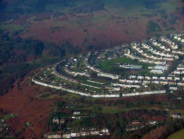
Crymlyn is a small village located in the county of Monmouthshire, Wales. Situated in the southern part of the country, it lies approximately 5 miles northwest of the town of Abergavenny. Crymlyn is nestled in a picturesque valley, surrounded by rolling hills and stunning natural beauty.

The village itself is relatively small, with a population of around 300 residents. It is characterized by its quaint and charming atmosphere, with traditional stone houses and narrow winding streets. Crymlyn has a strong sense of community, and residents often engage in local events and activities, fostering a close-knit environment.

One of the notable features of Crymlyn is its stunning landscape. The village is located near the Brecon Beacons National Park, offering residents and visitors ample opportunities for outdoor activities and exploration. The park is renowned for its breathtaking scenery, with mountains, rivers, and waterfalls attracting hikers, cyclists, and nature enthusiasts.

Despite its small size, Crymlyn boasts a few amenities for its residents. There is a local primary school, providing education for the younger population. Additionally, the village has a community center, where various events and gatherings take place throughout the year. However, for more extensive facilities and services, residents often rely on the nearby town of Abergavenny.

In summary, Crymlyn is a charming village in Monmouthshire, Wales, surrounded by stunning natural beauty. With its strong sense of community and proximity to the Brecon Beacons National Park, it offers a peaceful and idyllic living environment for its residents.

If you have any feedback on the listing, please let us know in the comments section below.
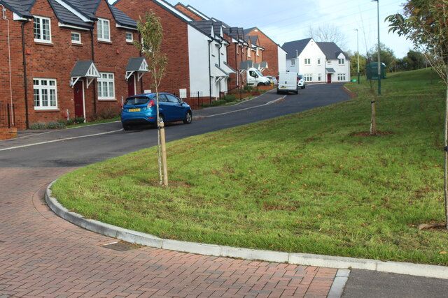
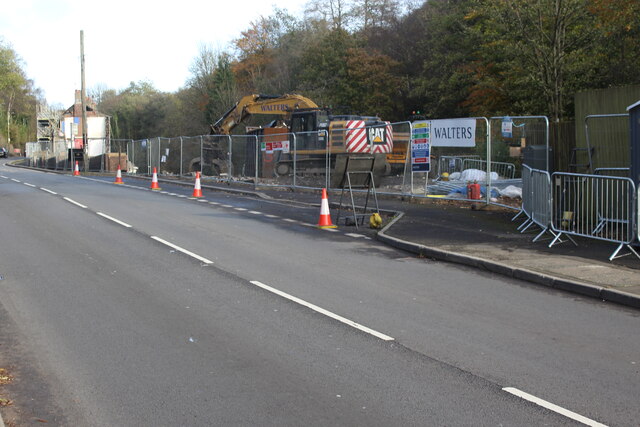
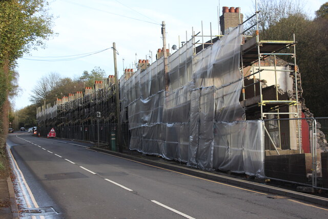
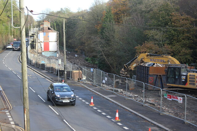
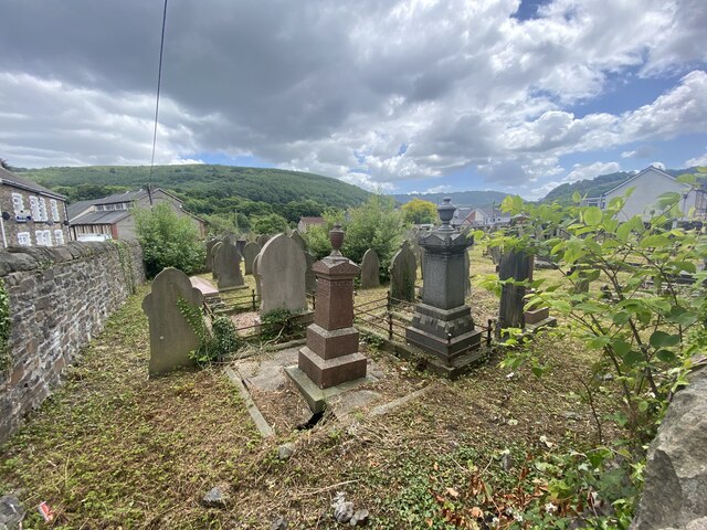
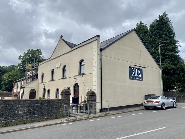
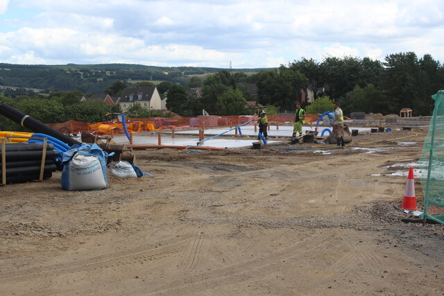
Crymlyn Images

Images are sourced within 2km of 51.677636/-3.140474 or Grid Reference ST2198. Thanks to Geograph Open Source API. All images are credited.

Overgrown former golf course Abandoned section of Oakdale Golf Course; the far side of this part of the course is shown in <a href="https://www.geograph.org.uk/photo/6940787">ST1997 : Abandoned golf course, Oakdale</a>. The northern part of the course is now a housing estate.
Overgrown former golf course
Abandoned section of Oakdale Golf Course; the far side of this part of the course is shown in ST1997 : Abandoned golf course, Oakdale. The northern part of the course is now a housing estate.
Bridges on former Oakdale Golf Course Two footbridges over a ditch on the overgrown golf course.
Bridges on former Oakdale Golf Course
Two footbridges over a ditch on the overgrown golf course.
Bryngolwg, Croespenmaen Part of recently completed housing estate, for earlier view - <a href="https://www.geograph.org.uk/photo/6737517">ST2098 : New housing estate, Croespenmaen</a>.
Bryngolwg, Croespenmaen
Part of recently completed housing estate, for earlier view - ST2098 : New housing estate, Croespenmaen.
Demolition site, Hafod-yr-Ynys Road A row of houses has begun to be demolished because of the high concentration of nitrogen dioxide in the air. The remaining houses on Woodside Terrace, all purchased by Caerphilly Council, will all be demolished
Demolition site, Hafod-yr-Ynys Road
A row of houses has begun to be demolished because of the high concentration of nitrogen dioxide in the air. The remaining houses on Woodside Terrace, all purchased by Caerphilly Council, will all be demolished
Houses ready for demolition, Hafod-yr-Ynys Road Row of terraced houses due to be demolished because of the high concentration of nitrogen dioxide in the air in the 'street canyon' in the valley. The green cabinet next to the telegraph pole houses the monitor of air pollutants.
Houses ready for demolition, Hafod-yr-Ynys Road
Row of terraced houses due to be demolished because of the high concentration of nitrogen dioxide in the air in the 'street canyon' in the valley. The green cabinet next to the telegraph pole houses the monitor of air pollutants.
House demolition site, Hafod-yr-Ynys Road All the houses on Woodside Terrace, purchased by Caerphilly Council, will be demolished because of severe air pollution on this busy cross-valley A road.
House demolition site, Hafod-yr-Ynys Road
All the houses on Woodside Terrace, purchased by Caerphilly Council, will be demolished because of severe air pollution on this busy cross-valley A road.
Sofa Sofa Looking towards the A467 at Crumlin from the furniture retailer's showroom.
Sofa Sofa
Looking towards the A467 at Crumlin from the furniture retailer's showroom.
Newbridge Railway Station
Shops in Victoria Terrace, Newbridge
Beulah Baptist Cemetery in Newbridge
KLA Dance Studio Formerly Beulah Baptist Church, Newbridge.
KLA Dance Studio
Formerly Beulah Baptist Church, Newbridge.
Route for walkway into new housing development The path will go from a light-controlled pedestrian crossing on the Kendon Road, B4251, near its junction with Parkway to the new housing estate <a href="https://www.geograph.org.uk/photo/7247716">ST1998 : Construction site, Ton-y-Felin Farm Lane</a>.
Route for walkway into new housing development
The path will go from a light-controlled pedestrian crossing on the Kendon Road, B4251, near its junction with Parkway to the new housing estate ST1998 : Construction site, Ton-y-Felin Farm Lane.
Construction site, Ton-y-Felin Farm Lane Laying concrete on a building site for 60 affordable homes for Pobl Housing Association.
Construction site, Ton-y-Felin Farm Lane
Laying concrete on a building site for 60 affordable homes for Pobl Housing Association.
Building site, Ton-y-Felin Farm Lane A housing development by Pobl Housing Association of 60 affordable homes on a valley-side field next to Kendon Road.
Building site, Ton-y-Felin Farm Lane
A housing development by Pobl Housing Association of 60 affordable homes on a valley-side field next to Kendon Road.
Scaffolding, building site, Ton-y-felin Farm Lane Part of a housing development of 60 affordable homes for Pobl Housing Association.
Scaffolding, building site, Ton-y-felin Farm Lane
Part of a housing development of 60 affordable homes for Pobl Housing Association.
Roadworks at end of Ton-y-Felin Farm Lane Excavations at junction of Farm Lane and Parkway to connect services to a new housing estate.
Roadworks at end of Ton-y-Felin Farm Lane
Excavations at junction of Farm Lane and Parkway to connect services to a new housing estate.
Partly built houses, Ton-y-Felin Farm Lane Housing estate for Pobl Housing Association; for similar earlier view - <a href="https://www.geograph.org.uk/photo/7268585">ST1998 : Scaffolding, building site, Ton-y-felin Farm Lane</a>.
Partly built houses, Ton-y-Felin Farm Lane
Housing estate for Pobl Housing Association; for similar earlier view - ST1998 : Scaffolding, building site, Ton-y-felin Farm Lane.
Show me another place!

Crymlyn is located at Grid Ref: ST2198 (Lat: 51.677636, Lng: -3.140474)

Unitary Authority: Caerphilly

Police Authority: Gwent

Also known as: Crumlin

What 3 Words

///breaches.abandons.shoebox. Near Crumlin, Caerphilly

Related Wikis

Ebbw Valley Railway

The Ebbw Valley Railway (Welsh: Rheilffordd Cwm Ebwy) is a branch line of the South Wales Main Line in South Wales. Transport for Wales Rail provides an...

Crumlin Viaduct

The Crumlin Viaduct was a railway viaduct located above the village of Crumlin in South Wales, originally built to carry the Taff Vale Extension of the...

Crumlin, Caerphilly

Crumlin (Welsh: Crymlyn) is a town, community and electoral ward in Caerphilly county borough in South Wales. It is situated in the Ebbw River valley,...

Crumlin Arm (Monmouthshire canal)

The Crumlin Arm of the Monmouthshire canal is part of the Monmouthshire & Brecon Canal network in South Wales. It connected Crumlin and its tramways to...

Workingman's Institute and Memorial Hall

The Workingman's Institute and Memorial Hall (The Institute and Memo) is an historical miners' institute, working men's club and multi-purpose community...

Swffryd

Swffryd (or Sofrydd) is a Welsh community on the boundary of Blaenau Gwent County Borough Council. == Geography == The Ebbw River flows past the west...

Celynen North Halt railway station

Celynen North Halt railway station served the town of Abercarn, in the historical county of Glamorganshire, from 1936 to 1962 on the Monmouthshire Railway...

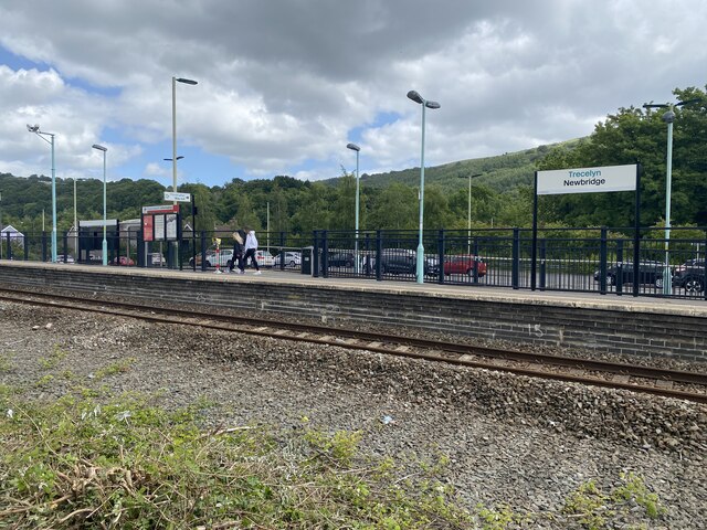
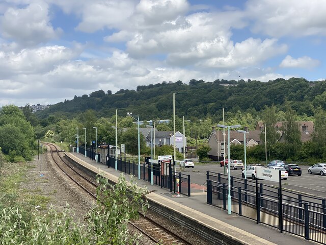
Newbridge, Caerphilly

Newbridge (Welsh: Trecelyn) is a town and community in the county borough of Caerphilly, south Wales. It lies within the historic boundaries of the county...

Nearby Amenities

Located within 500m of 51.677636,-3.140474
Traffic Signals
Lat/Long: 51.6786765/-3.1382387
Traffic Signals
Lat/Long: 51.6796718/-3.1391191
Crumlin
Name Cy: Crymlyn
Proposed: station
Railway: proposed
Lat/Long: 51.6784177/-3.1393194
Crumlin
Is In Historic County: Monmouthshire
Name Cy: Crymlyn
Place: village
Population: 5724
Postal Code: NP11
Source: local_knowledge
Wikidata: Q3404679
Wikipedia: en:Crumlin, Caerphilly
Lat/Long: 51.6781517/-3.1404356
Crumlin High Level
Historic Railway: station
Railway: site
Wikidata: Q5190053
Wikipedia: en:Crumlin railway station (Wales)
Lat/Long: 51.6770243/-3.1444686
Fuel
Texaco
Addr Postcode: NP11 4QJ
Brand: Texaco
Brand Wikidata: Q775060
Fuel Diesel: yes
Fuel Octane 95: yes
Opening Hours: Mo-Sa 05:30-22:30; Su 06:30-22:30
Phone: +44 1495 245713
Ref Navads: NVDS353_10019692
Website: https://locations.valero.com/en-gb/LocationDetails/Index/NEWBRIDGE-BYPASS-ROAD/0000704911
Wheelchair: no
Lat/Long: 51.6757815/-3.1378917
Place Of Worship
Rock Fellowship
Religion: christian
Wheelchair: limited
Lat/Long: 51.6797653/-3.1444395
SofaSofa
Addr City: Crumlin
Addr Housename: Viaduct Works
Addr Postcode: NP11 3PL
Addr Street: Crumlin Road
Email: info@sofasofa.co.uk
Opening Hours: Mo-Sa 09:00-17:00; Su off
Opening Hours Covid19: Mo-Sa 09:00-17:00; Su Off
Phone: +44 1495 244 226
Shop: furniture
Website: https://www.sofasofa.co.uk/
Lat/Long: 51.6805324/-3.1391404
Crumlin Low Level
Historic Railway: station
Railway: site
Wikidata: Q5190053
Wikipedia: en:Crumlin railway station (Wales)
Lat/Long: 51.6774948/-3.1394394
Barrier: yes
Foot: yes
Lat/Long: 51.6796672/-3.1468721
Bar
The Patriot
Addr City: Crumlin
Addr Postcode: NP11 4PT
Addr Street: Main Street
Alt Name: Patriot Home of Rock
Email: info@home-of-rock.co.uk
Name Cy: Y Gwladgarwr
Opening Hours: Mo Off, Tu Off; We Off, Th 20:00-23:00; Fr 19:00-00:00; Sa 00:00-01:00,19:00-00:00: Su 00:00-01:00
Phone: +44 7479 667164
Website: https://home-of-rock.co.uk/
Lat/Long: 51.6778012/-3.140175
Direction: WSW
Generator Method: photovoltaic
Generator Output Electricity: yes
Generator Solar Modules: 12
Generator Source: solar
Generator Type: solar_photovoltaic_panel
Location: roof
Power: generator
Lat/Long: 51.6783716/-3.1471539
Direction: WSW
Generator Method: photovoltaic
Generator Output Electricity: yes
Generator Solar Modules: 14
Generator Source: solar
Generator Type: solar_photovoltaic_panel
Location: roof
Power: generator
Lat/Long: 51.6784398/-3.1472182
Direction: 185
Generator Method: photovoltaic
Generator Output Electricity: yes
Generator Solar Modules: 10
Generator Source: solar
Generator Type: solar_photovoltaic_panel
Location: roof
Power: generator
Lat/Long: 51.6790477/-3.1399333
Direction: 145
Generator Method: photovoltaic
Generator Output Electricity: yes
Generator Solar Modules: 4
Generator Source: solar
Generator Type: solar_photovoltaic_panel
Location: roof
Power: generator
Lat/Long: 51.6795442/-3.1469433
Direction: S
Generator Method: photovoltaic
Generator Output Electricity: yes
Generator Solar Modules: 12
Generator Source: solar
Generator Type: solar_photovoltaic_panel
Location: roof
Power: generator
Lat/Long: 51.6783126/-3.139649
Direction: WSW
Generator Method: photovoltaic
Generator Output Electricity: yes
Generator Solar Modules: 8
Generator Source: solar
Generator Type: solar_photovoltaic_panel
Location: roof
Power: generator
Lat/Long: 51.6799125/-3.1377165
Direction: WSW
Generator Method: photovoltaic
Generator Output Electricity: yes
Generator Solar Modules: 8
Generator Source: solar
Generator Type: solar_photovoltaic_panel
Location: roof
Power: generator
Lat/Long: 51.6799408/-3.1377339
Direction: 170
Generator Method: photovoltaic
Generator Output Electricity: yes
Generator Solar Modules: 12
Generator Source: solar
Generator Type: solar_photovoltaic_panel
Location: roof
Power: generator
Lat/Long: 51.6800423/-3.1372444
Bullen Trading Co
Addr City: Crumlin
Addr Housename: Unit A, Viaduct Works
Addr Postcode: NP11 3PL
Addr Street: Crumlin Road
Email: chris@wesellfloors.co.uk
Opening Hours: Mo-Fr 08:00-17:00; Sa 08:00-12:30; Su off
Opening Hours Covid19: Mo-Fr 08:00-17:00; Sa 08:00-12:30; Su Off
Phone: +44 1495 240 821
Shop: flooring
Website: https://www.bullentrading.co.uk/
Lat/Long: 51.6801851/-3.1389527
Crossing
Lat/Long: 51.6794448/-3.1387273
Crossing
Lat/Long: 51.6794325/-3.1388871
Crossing
Lat/Long: 51.6788738/-3.1373848
Crossing
Lat/Long: 51.678948/-3.1375127
Crossing
Lat/Long: 51.6792202/-3.1375432
The data included in this document is from www.openstreetmap.org. The data is made available under ODbL.

Have you been to Crymlyn?

Leave your review of Crymlyn below (or comments, questions and feedback).