Crumlin
Settlement in Monmouthshire
Wales
Crumlin

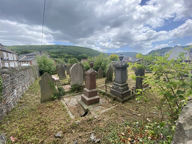
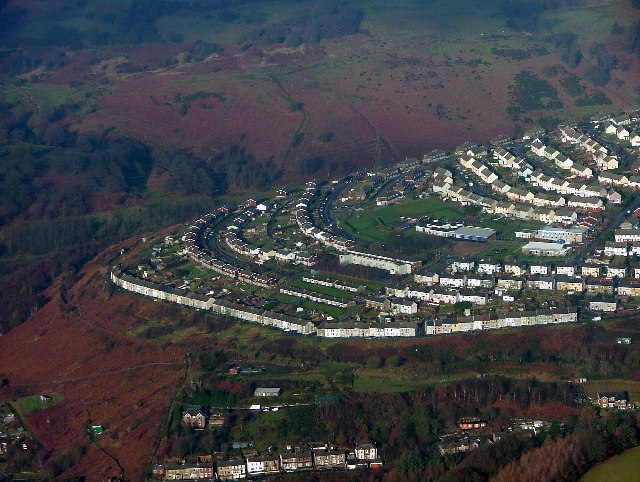
Crumlin is a small village located in the county of Monmouthshire, Wales. Situated in the eastern part of the county, it lies on the eastern edge of the South Wales Valleys, approximately 18 miles north of Newport and 10 miles northwest of Pontypool. The village is nestled within the picturesque Sirhowy Valley, surrounded by rolling hills and lush green countryside.
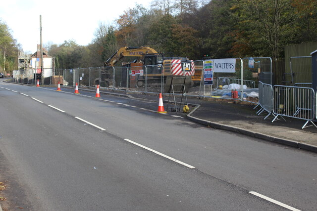
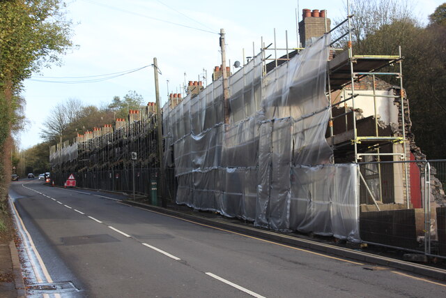
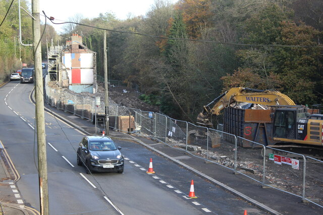
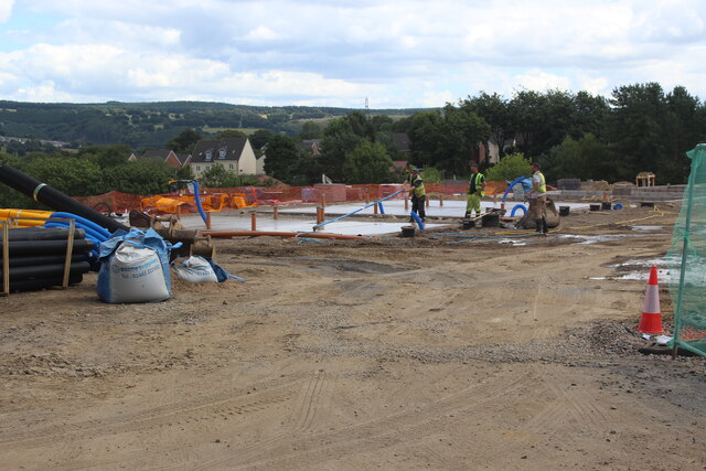
Crumlin has a rich industrial heritage and was historically known for its coal mining industry. In the late 19th and early 20th centuries, the village prospered as a center for coal production, attracting many workers to the area. However, with the decline of the coal industry in the latter half of the 20th century, Crumlin experienced economic challenges and a decline in population.
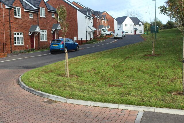
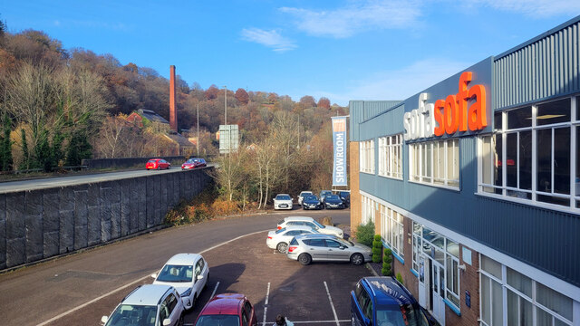
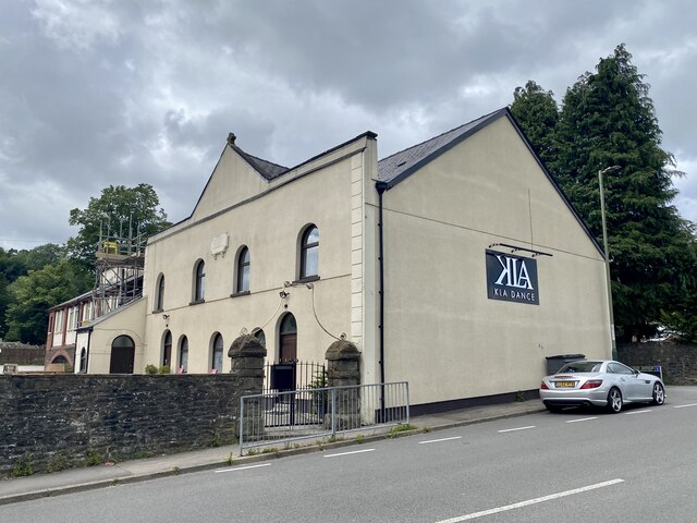
Today, Crumlin is a quiet residential village with a close-knit community. It offers a range of amenities including local shops, pubs, and a community center, providing essential services to its residents. The village is also well-connected, with good road links to nearby towns and cities.
Nature lovers will find plenty to explore in the surrounding area, with beautiful walking trails and nature reserves nearby. Situated close to the Brecon Beacons National Park, outdoor enthusiasts can enjoy hiking, cycling, and wildlife spotting in the stunning Welsh countryside.
Overall, Crumlin is a charming village that provides a tranquil setting for those seeking a peaceful and picturesque place to live, while still offering easy access to urban amenities and natural beauty.
If you have any feedback on the listing, please let us know in the comments section below.
Crumlin Images
Images are sourced within 2km of 51.677636/-3.140474 or Grid Reference ST2198. Thanks to Geograph Open Source API. All images are credited.


Crumlin is located at Grid Ref: ST2198 (Lat: 51.677636, Lng: -3.140474)
Unitary Authority: Caerphilly
Police Authority: Gwent
Also known as: Crymlyn
What 3 Words
///breaches.abandons.shoebox. Near Crumlin, Caerphilly
Nearby Locations
Related Wikis

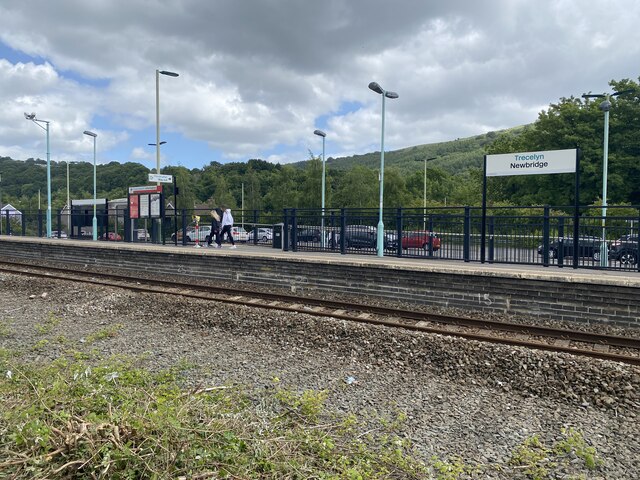
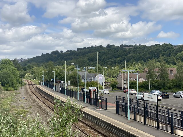
Ebbw Valley Railway
The Ebbw Valley Railway (Welsh: Rheilffordd Cwm Ebwy) is a branch line of the South Wales Main Line in South Wales. Transport for Wales Rail provides an...

Crumlin Viaduct
The Crumlin Viaduct was a railway viaduct located above the village of Crumlin in South Wales, originally built to carry the Taff Vale Extension of the...
Crumlin, Caerphilly
Crumlin (Welsh: Crymlyn) is a town, community and electoral ward in Caerphilly county borough in South Wales. It is situated in the Ebbw River valley,...

Crumlin Arm (Monmouthshire canal)
The Crumlin Arm of the Monmouthshire canal is part of the Monmouthshire & Brecon Canal network in South Wales. It connected Crumlin and its tramways to...
Nearby Amenities
Located within 500m of 51.677636,-3.140474Have you been to Crumlin?
Leave your review of Crumlin below (or comments, questions and feedback).