Castle Woods
Wood, Forest in Yorkshire Craven
England
Castle Woods
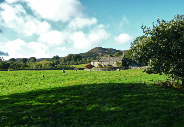
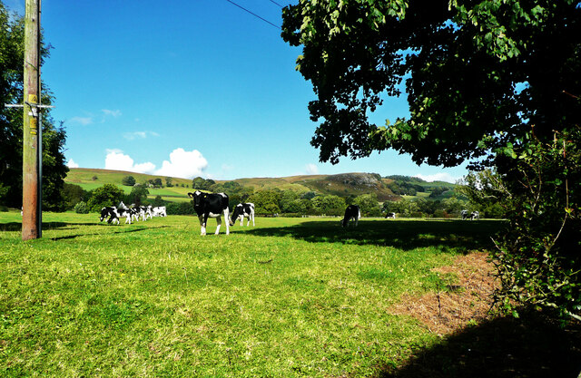
Castle Woods is a picturesque woodland located in the county of Yorkshire, England. Situated amidst the rolling hills of the Yorkshire Dales, this woodland area covers a vast expanse of land and is renowned for its natural beauty and rich biodiversity.
The woods are predominantly made up of various species of trees, including oak, beech, and ash. These towering trees create a dense canopy, providing shade and shelter for the diverse array of flora and fauna that call Castle Woods their home. The forest floor is adorned with a vibrant carpet of wildflowers, ferns, and mosses, creating a colorful and enchanting setting.
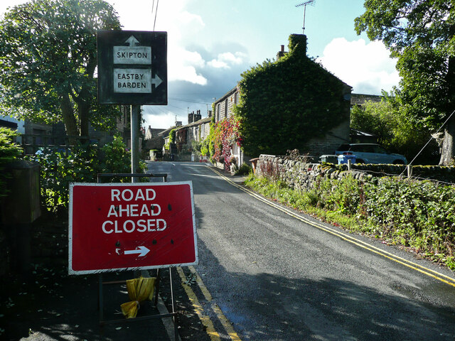
Castle Woods is also home to a number of well-maintained walking trails that wind their way through the forest. These trails offer visitors the opportunity to explore the woodland and discover its hidden gems, such as secluded glades, babbling brooks, and ancient ruins. The ruins of a medieval castle, from which the woods derive their name, can be found nestled within the depths of the forest, adding a touch of history and intrigue to the area.
Nature enthusiasts flock to Castle Woods to observe the diverse wildlife that inhabits the area. The woods are home to a wide range of bird species, including woodpeckers, owls, and various songbirds. Additionally, the forest provides a habitat for numerous mammals, such as deer, foxes, and squirrels.
Castle Woods is a haven of tranquility and natural beauty, offering visitors a chance to escape the hustle and bustle of everyday life and immerse themselves in the wonders of the Yorkshire countryside.
If you have any feedback on the listing, please let us know in the comments section below.
Castle Woods Images
Images are sourced within 2km of 53.973158/-2.0022813 or Grid Reference SD9953. Thanks to Geograph Open Source API. All images are credited.


Castle Woods is located at Grid Ref: SD9953 (Lat: 53.973158, Lng: -2.0022813)
Division: West Riding
Administrative County: North Yorkshire
District: Craven
Police Authority: North Yorkshire
What 3 Words
///solutions.copying.roof. Near Embsay, North Yorkshire
Nearby Locations
Related Wikis

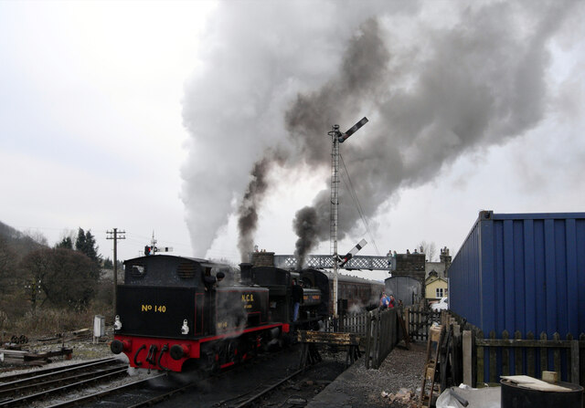
Embsay and Bolton Abbey Steam Railway
The Embsay and Bolton Abbey Steam Railway (E&BASR) is a heritage railway in North Yorkshire, England, formed in 1979 and opened in 1981. The preserved...
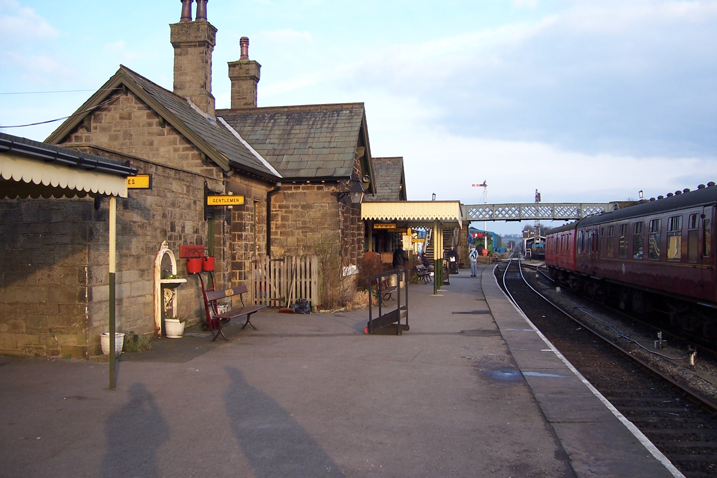
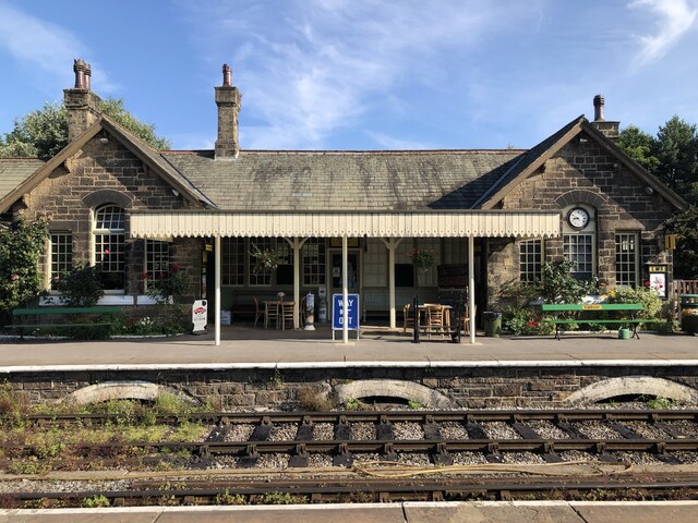
Embsay railway station
Embsay railway station is a railway station on the Embsay and Bolton Abbey Steam Railway. It serves the small village of Embsay in North Yorkshire, England...
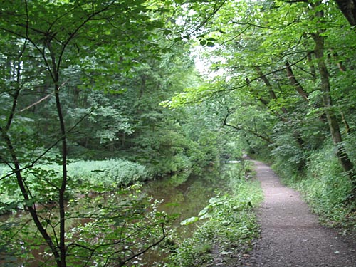
Skipton Wood
Skipton Wood (also known as Skipton Castle Woods, Castle Wood or Springs Wood) is a 36-acre (15 ha) wood following the valley of Eller Beck to the north...
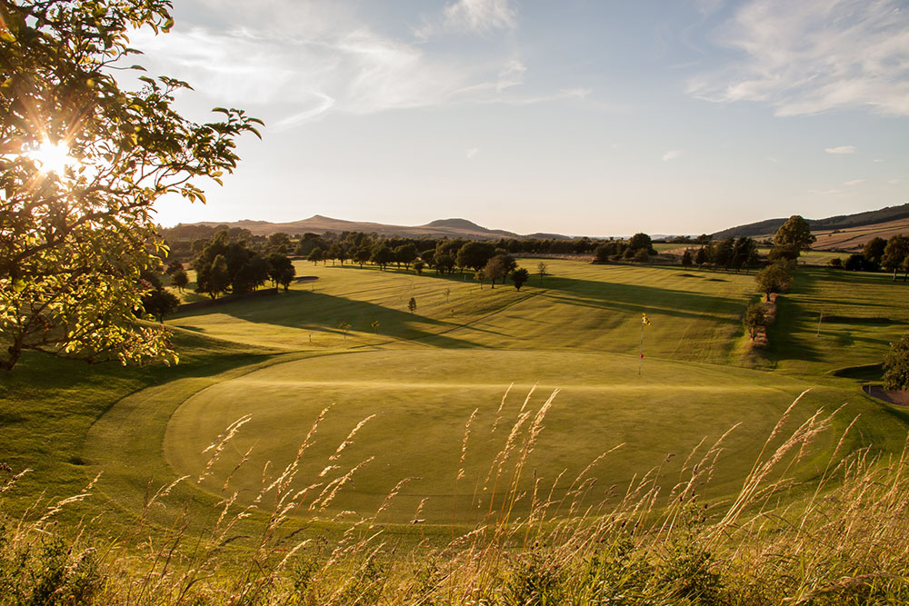
Skipton Golf Club
Skipton Golf Club is a golf club located within the English county of North Yorkshire. Founded within 1893, the club was originally located a short distance...
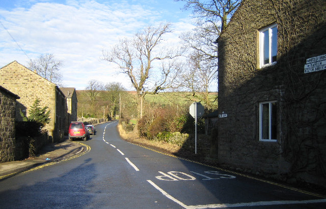
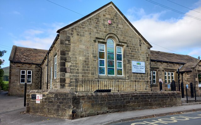
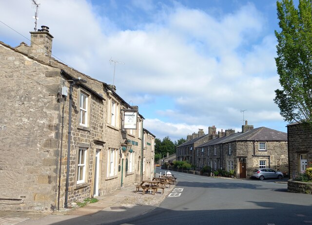
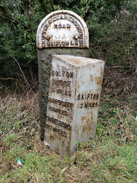
Embsay
Embsay is a village in the Craven district of North Yorkshire, England. It is paired with the neighbouring hamlet of Eastby to form the civil parish of...
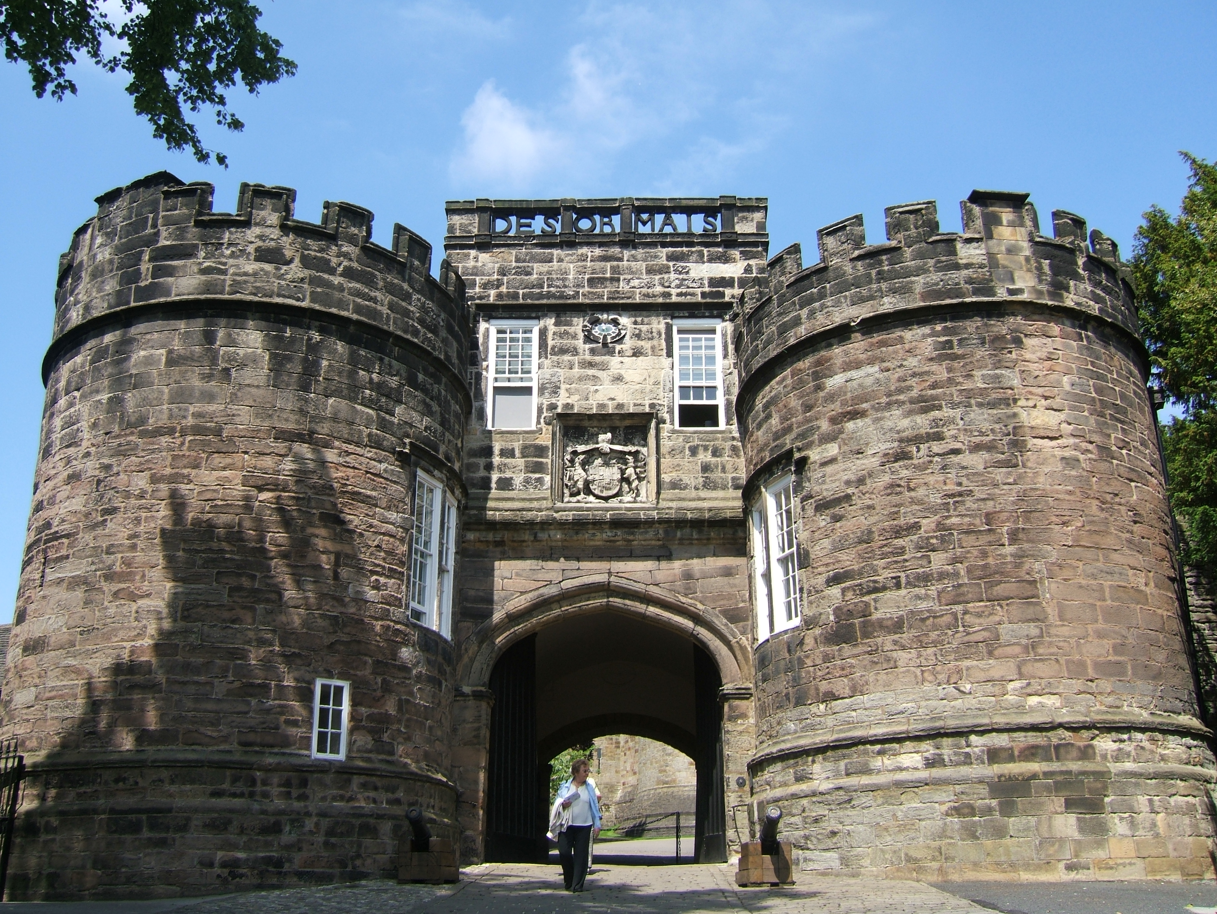
Skipton Castle
Skipton Castle is a Grade I Listed medieval castle in Skipton, North Yorkshire, England. It was built in 1090 by Robert de Romille, a Norman baron, and...

Holy Trinity Church, Skipton
Holy Trinity Church is in High Street, Skipton, North Yorkshire, England. Medieval in origin, the church is recorded in the National Heritage List for...
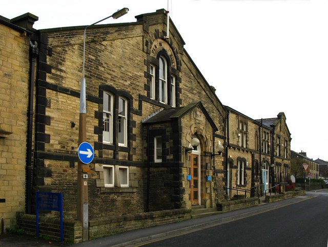
Otley Road drill hall, Skipton
The Otley Road drill hall, sometimes known as Wellington House, is a former military installation in Skipton, North Yorkshire, England. == History == The...
Nearby Amenities
Located within 500m of 53.973158,-2.0022813Have you been to Castle Woods?
Leave your review of Castle Woods below (or comments, questions and feedback).