Sally Copse
Wood, Forest in Gloucestershire Cotswold
England
Sally Copse
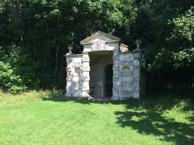
Sally Copse is a picturesque woodland located in the county of Gloucestershire, England. Nestled in the heart of the countryside, it offers visitors a peaceful retreat from the hustle and bustle of everyday life.
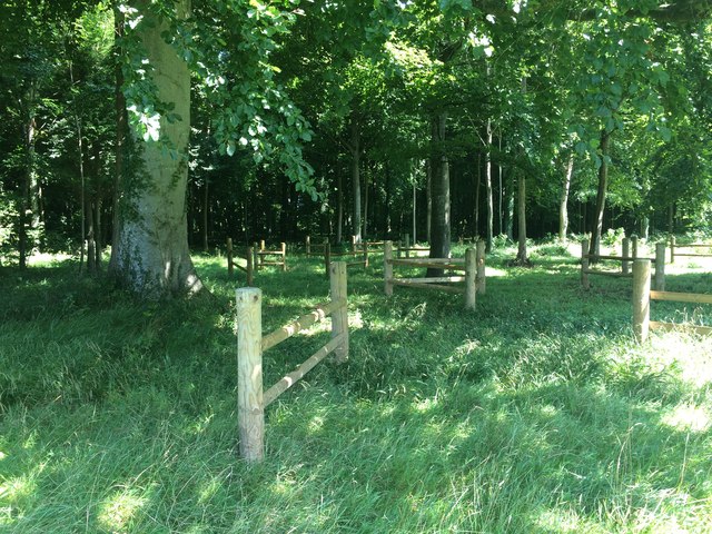
Covering an area of approximately 50 acres, Sally Copse is characterized by its dense woodland, consisting mainly of deciduous trees such as oak, beech, and ash. The forest floor is carpeted with a variety of wildflowers, ferns, and moss, creating a rich tapestry of colors and textures.
The copse is crisscrossed by a network of well-maintained footpaths, allowing visitors to explore the area at their own pace. These paths lead to various points of interest, including a small pond teeming with aquatic life and a clearing that offers stunning views of the surrounding countryside.
Sally Copse is also home to a diverse range of wildlife. Birdwatchers will be delighted to spot species such as woodpeckers, jays, and tawny owls, while small mammals including rabbits, squirrels, and foxes can also be seen.
The copse is open to the public year-round, with no admission fee. It is a popular destination for nature enthusiasts, hikers, and families looking to enjoy a day out in nature. Facilities such as picnic areas and benches are available for visitors to relax and soak in the serene atmosphere.
Overall, Sally Copse is a hidden gem in Gloucestershire, offering a tranquil escape into nature and a chance to reconnect with the great outdoors.
If you have any feedback on the listing, please let us know in the comments section below.
Sally Copse Images
Images are sourced within 2km of 51.718472/-2.0045702 or Grid Reference SO9902. Thanks to Geograph Open Source API. All images are credited.
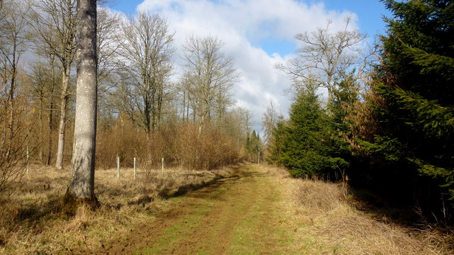
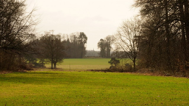
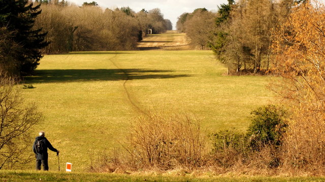
![On the Monarch's Way [14] The path continues to follows the field edge as it heads towards Cirencester.
The Monarch&#039;s Way is a 615-mile long-distance footpath in England that approximates the escape route taken by King Charles II in 1651 after being defeated in the Battle of Worcester.](https://s1.geograph.org.uk/geophotos/06/00/35/6003569_ab2aa81b.jpg)
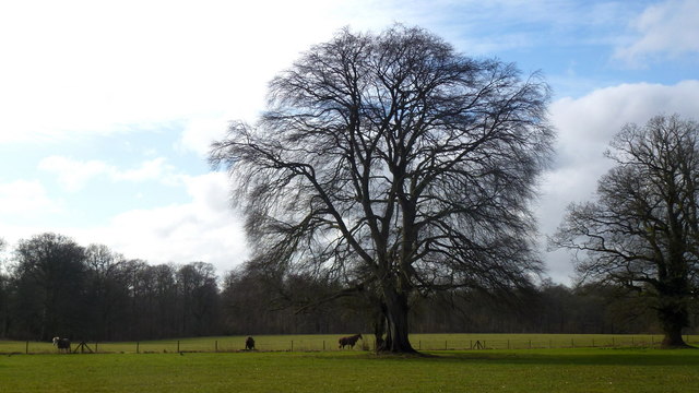
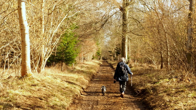
![On the Monarch's Way [15] Two new gates and a horse jump take the way into and through the belt of trees.
The Monarch&#039;s Way is a 615-mile long-distance footpath in England that approximates the escape route taken by King Charles II in 1651 after being defeated in the Battle of Worcester.](https://s0.geograph.org.uk/geophotos/06/00/35/6003572_65290865.jpg)
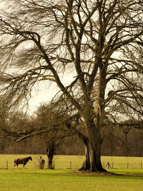
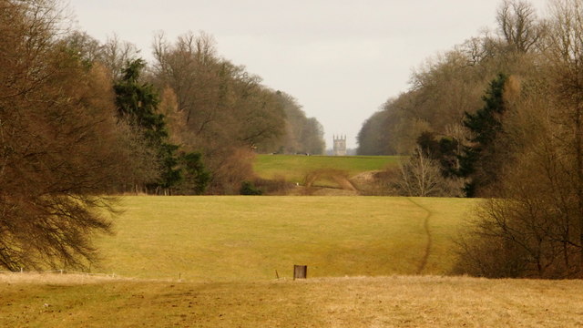
![On the Monarch's Way [16] After passing through the belt of trees, the path continues to follow the field edge as it heads towards Cirencester.
The Monarch&#039;s Way is a 615-mile long-distance footpath in England that approximates the escape route taken by King Charles II in 1651 after being defeated in the Battle of Worcester.](https://s1.geograph.org.uk/geophotos/06/00/35/6003573_a248c74d.jpg)
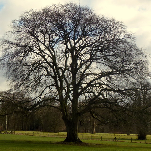
![On the Monarch's Way [17] At the far end of this field the footpath makes a sharp turn to the left.
The Monarch&#039;s Way is a 615-mile long-distance footpath in England that approximates the escape route taken by King Charles II in 1651 after being defeated in the Battle of Worcester.](https://s2.geograph.org.uk/geophotos/06/00/35/6003574_36658ba3.jpg)
![Coates Manor Farm [1] The farming activity is seen from the Monarch&#039;s Way long distance path.
Coates Manor Farm is part of the Royal Agricultural University a university located near Cirencester. Established in 1845, it is the first agricultural college in the English-speaking world.](https://s2.geograph.org.uk/geophotos/06/00/43/6004374_2b15c0f6.jpg)
Sally Copse is located at Grid Ref: SO9902 (Lat: 51.718472, Lng: -2.0045702)
Administrative County: Gloucestershire
District: Cotswold
Police Authority: Gloucestershire
What 3 Words
///repeat.comb.warblers. Near Stratton, Gloucestershire
Nearby Locations
Related Wikis

A419 road
The A419 road is a primary route between Chiseldon near Swindon at junction 15 of the M4 with the A346 road, and Whitminster in Gloucestershire, England...

Cirencester Deer Park School
Cirencester Deer Park School is a secondary school Park. == History == Founded in 1966, the school combined Cirencester Grammar School with the town's...
Cirencester Park
Cirencester Park is a cricket ground in Cirencester, Gloucestershire. The first recorded match on the ground was in 1853, when Cirencester played an All...
Cirencester College
Cirencester College is a sixth form college based in the town of Cirencester in the South Cotswolds. It is a specialist sixth form provider serving communities...

Corinium Museum
The Corinium Museum, in the Cotswold town of Cirencester in England, has a large collection of objects found in and around the locality. The bulk of the...

Cecily Hill Barracks
Cecily Hill Barracks is a former military installation in Cirencester in Gloucestershire. The former keep for the barracks (known locally as The Castle...

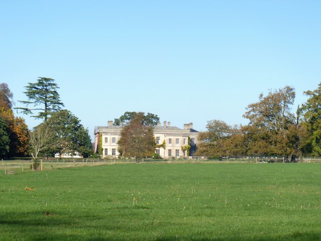
Cirencester Park (country house)
Cirencester Park is a country house in the parish of Cirencester in Gloucestershire, England, and is the seat of the Bathurst family, Earls Bathurst. It...

Cirencester Town railway station
Cirencester Town railway station was one of three railway stations which formerly served the town of Cirencester, Gloucestershire, England; the others...
Nearby Amenities
Located within 500m of 51.718472,-2.0045702Have you been to Sally Copse?
Leave your review of Sally Copse below (or comments, questions and feedback).