Marjorie Plantation

Wood, Forest in Wiltshire Cotswold

England

Marjorie Plantation

Crossing the Thames at Parker's Bridge On the road between Ewen and Kemble.
Crossing the Thames at Parker's Bridge Credit: Robin Webster

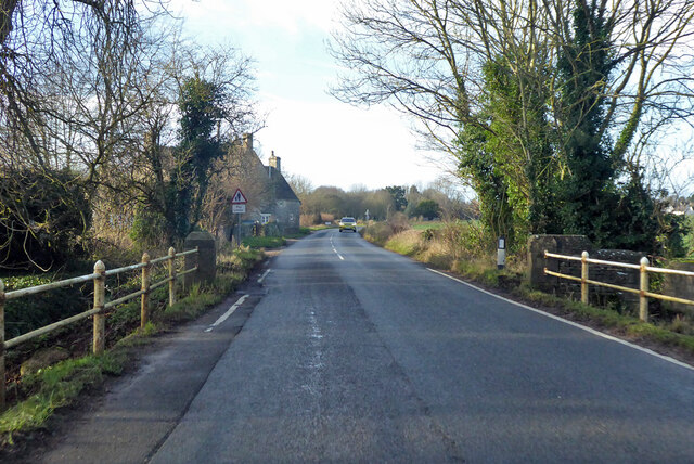
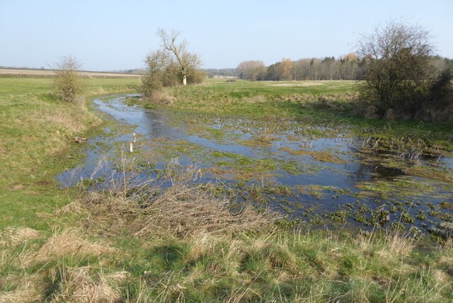
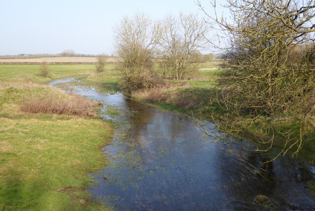
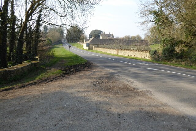
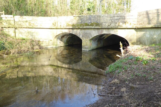
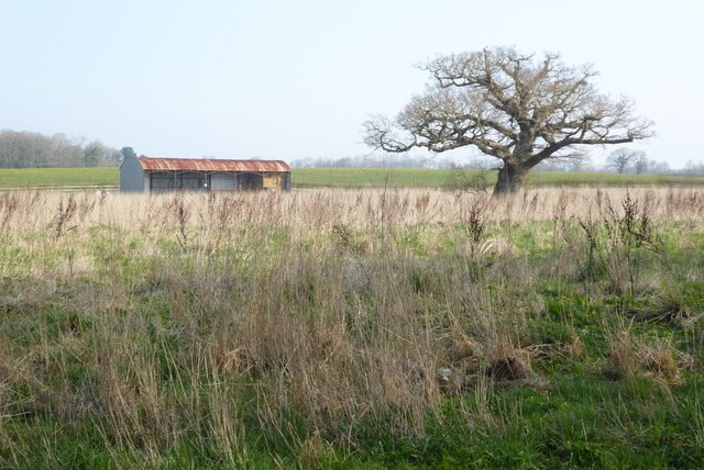
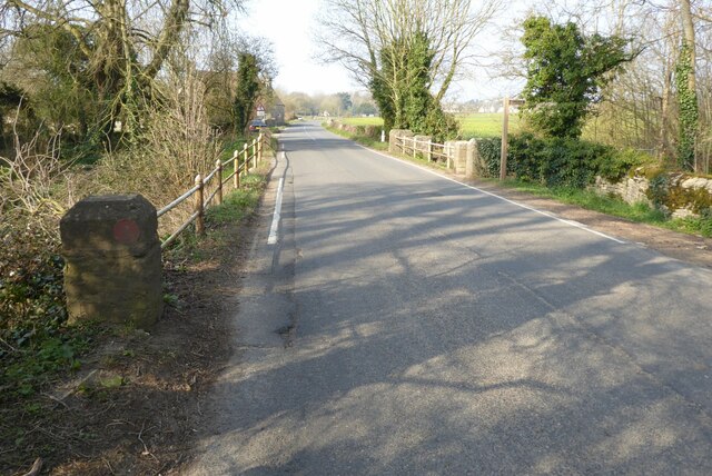
Marjorie Plantation is a picturesque woodland area located in the county of Wiltshire, England. Nestled amidst the rolling hills and valleys of this region, the plantation spans over a vast area of lush greenery and is renowned for its stunning natural beauty.

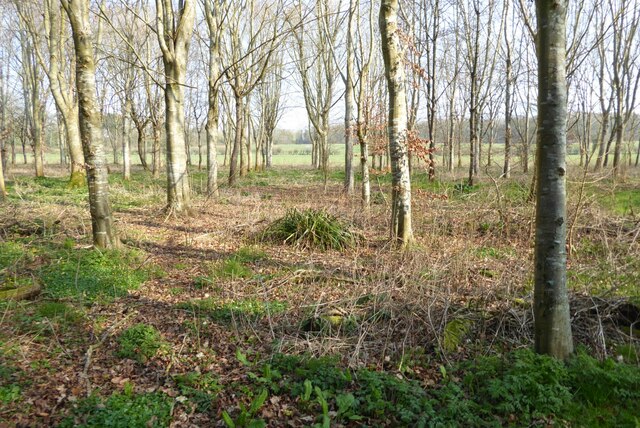
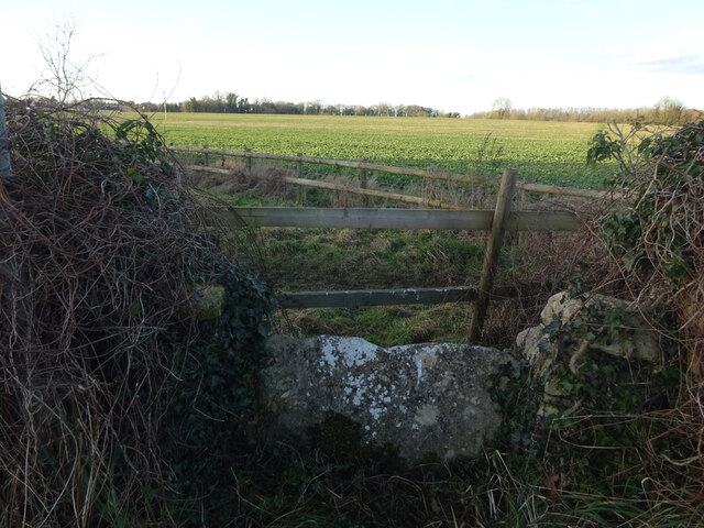
The plantation is primarily composed of dense, deciduous forest, with a diverse range of tree species such as oak, beech, and ash dominating the landscape. These towering trees create a dense canopy, allowing only dappled sunlight to filter through to the forest floor. This creates a unique and enchanting ambiance, making the plantation a haven for nature enthusiasts and hikers.

The plantation is also home to a rich variety of wildlife, including several species of birds, mammals, and insects. Birdwatchers can spot a myriad of feathered inhabitants, including woodpeckers, owls, and thrushes. Meanwhile, foxes, deer, and rabbits can often be seen darting through the undergrowth, adding to the area's natural charm.

Trails and footpaths wind their way through the plantation, providing visitors with opportunities to explore its beauty at their own pace. The well-maintained paths offer breathtaking views of the surrounding countryside, and occasional clearings provide peaceful spots for picnics or relaxation.

Marjorie Plantation is not only a haven for wildlife and nature lovers but also an important ecological site. Its preservation and conservation are paramount to maintaining the delicate balance of the ecosystem and ensuring the long-term sustainability of the area.

In conclusion, Marjorie Plantation in Wiltshire is a captivating woodland retreat, offering visitors a chance to immerse themselves in the beauty of nature while providing a crucial habitat for a diverse range of flora and fauna.

If you have any feedback on the listing, please let us know in the comments section below.

Marjorie Plantation Images

Images are sourced within 2km of 51.663662/-2.0059812 or Grid Reference ST9996. Thanks to Geograph Open Source API. All images are credited.

Crossing the Thames at Parker's Bridge On the road between Ewen and Kemble.
Crossing the Thames at Parker's Bridge
On the road between Ewen and Kemble.
House on West Lane, Kemble Looking from School Road.
House on West Lane, Kemble
Looking from School Road.
Old Fingerpost, Kemble Wick Old post with castellated sleeves. Modern fingerboards. This is in Kemble Wick, a mile from Kemble.

Inscription: Oaksey 1 / Crudwell 4 // Kemble 1 / Cirencester 4

Milestone Society National ID: GL_ST9895
Old Fingerpost, Kemble Wick
Old post with castellated sleeves. Modern fingerboards. This is in Kemble Wick, a mile from Kemble. Inscription: Oaksey 1 / Crudwell 4 // Kemble 1 / Cirencester 4 Milestone Society National ID: GL_ST9895
The River Thames The River Thames near its source at Kemble.
The River Thames
The River Thames near its source at Kemble.
The River Thames The River Thames viewed from the bridge carrying the A429 near the village of Kemble.
The River Thames
The River Thames viewed from the bridge carrying the A429 near the village of Kemble.
The A429 at Kemble The A429 at Kemble where it crosses the infant River Thames.
The A429 at Kemble
The A429 at Kemble where it crosses the infant River Thames.
Bridge over the River Thames A bridge over the River Thames carrying the A429.
Bridge over the River Thames
A bridge over the River Thames carrying the A429.
Trees beside the River Thames Trees beside the River Thames between the villages of Kemble and Ewen.
Trees beside the River Thames
Trees beside the River Thames between the villages of Kemble and Ewen.
Barn in farmland A barn and trees in farmland beside the River Thames near the village of Ewen.
Barn in farmland
A barn and trees in farmland beside the River Thames near the village of Ewen.
Road crossing Parker's Bridge Road crossing Parker's Bridge near the village of Ewen.  The footpath sign is marking the route of the Thames Path.  The River Thames flows under this bridge.
Road crossing Parker's Bridge
Road crossing Parker's Bridge near the village of Ewen. The footpath sign is marking the route of the Thames Path. The River Thames flows under this bridge.
Train in Kemble Station A GWR Hitachi Class 800 train in Kemble Station
Train in Kemble Station
A GWR Hitachi Class 800 train in Kemble Station
A Swindon-bound train A Swindon-bound train entering Kemble Station.
A Swindon-bound train
A Swindon-bound train entering Kemble Station.
Kemble Station Part of the car park in front of Kemble Station.
Kemble Station
Part of the car park in front of Kemble Station.
Stone Stile, Kemble This is the view looking NW from School Road, East of Parkers Bridge (River Thames). The view SE is <a href="https://www.geograph.org.uk/photo/7157003">ST9997 : Stone Stile, Kemble</a>.
Stone Stile, Kemble
This is the view looking NW from School Road, East of Parkers Bridge (River Thames). The view SE is ST9997 : Stone Stile, Kemble.
Stone Stile, Kemble This is the view looking SE to School Road, East of Parkers Bridge (River Thames). The view NW looking in is <a href="https://www.geograph.org.uk/photo/7157002">ST9997 : Stone Stile, Kemble</a>.
Stone Stile, Kemble
This is the view looking SE to School Road, East of Parkers Bridge (River Thames). The view NW looking in is ST9997 : Stone Stile, Kemble.
Car park, Kemble Station
Kemble Station Kemble station serves the village of Kemble in Gloucestershire. The station is on the Swindon to Gloucester "Golden Valley" line. The station opened in 1882. 
Grade II listed. <span class="nowrap"><a title="https://historicengland.org.uk/listing/the-list/list-entry/1304289" rel="nofollow ugc noopener" href="https://historicengland.org.uk/listing/the-list/list-entry/1304289">Link</a><img style="margin-left:2px;" alt="External link" title="External link - shift click to open in new window" src="https://s1.geograph.org.uk/img/external.png" width="10" height="10"/></span> 
Wikipedia: <span class="nowrap"><a title="https://en.wikipedia.org/wiki/Kemble_railway_station" rel="nofollow ugc noopener" href="https://en.wikipedia.org/wiki/Kemble_railway_station">Link</a><img style="margin-left:2px;" alt="External link" title="External link - shift click to open in new window" src="https://s1.geograph.org.uk/img/external.png" width="10" height="10"/></span>
Kemble Station
Kemble station serves the village of Kemble in Gloucestershire. The station is on the Swindon to Gloucester "Golden Valley" line. The station opened in 1882. Grade II listed. LinkExternal link Wikipedia: LinkExternal link
Kemble Station Written by Brian Robert Marshall
The line, also known as the Golden Valley Line, dates back to the early days of railway development in the 19th century. The first section, from Cheltenham to Gloucester, opened in 1840. In 1841 a line was opened from Swindon Junction to Cirencester via Kemble. Then in 1845 a line from Kemble to Gloucester was opened (Kemble became a junction in its own right with branches to Cirencester to the east, and Tetbury to the west both of which closed on the 1960s). At one time there were twenty stations or halts between Cheltenham, at the northern end of the line, and its terminus at Swindon. Now only six remain open (Cheltenham, Gloucester, Stonehouse, Stroud, Kemble and Swindon). In 1968, the hitherto twin track line was butchered by the then British Rail (under a Labour government) and the stretch between Swindon and Kemble was singled (the plan had been to single the entire section between Swindon and Stonehouse but protests led to the abandonment of the project once it had reached Kemble leaving the section from Kemble north to Stonehouse still a twin track). Proposals to restore the twin track between Kemble and Swindon were made in 2008 but were kicked into the long grass by the Office of Rail Regulation (again under a Labour government). Thankfully the Coalition government that took office in 2010 revived the moribund proposal and announced in 2011 that the project could go ahead. Work on the £45m project started in July 2013 and was expected to be completed by Easter 2014. However, on 07 February 2014 Network Rail announced that completion of the project would be put back until August 2014 because "The very high volume of works during Easter nationally, coupled with ongoing remedial work from flooding earlier this year, means our engineering resources will now be operating at full capacity during one of the busiest phases of the Swindon to Kemble redoubling scheme.
"To minimise risk to the work, and avoid the possibility of unnecessary inconvenience to customers, we are now working towards completing the scheme between Swindon and Kemble by August 2014 rather than Easter as originally planned." Anecdotal evidence suggests that the local residents are looking forward to a considerable hike in property values as the increased rail traffic that will be enabled by the doubling of the line will make the all-important London Paddington destination even more accessible.
Sources: <span class="nowrap"><a title="http://en.wikipedia.org/wiki/Golden_Valley_Line" rel="nofollow ugc noopener" href="http://en.wikipedia.org/wiki/Golden_Valley_Line">Link</a><img style="margin-left:2px;" alt="External link" title="External link - shift click to open in new window" src="https://s1.geograph.org.uk/img/external.png" width="10" height="10"/></span>
<span class="nowrap"><a title="http://en.wikipedia.org/wiki/Cheltenham_and_Great_Western_Union_Railway" rel="nofollow ugc noopener" href="http://en.wikipedia.org/wiki/Cheltenham_and_Great_Western_Union_Railway">Link</a><img style="margin-left:2px;" alt="External link" title="External link - shift click to open in new window" src="https://s1.geograph.org.uk/img/external.png" width="10" height="10"/></span>
<span class="nowrap"><a title="http://www.bbc.co.uk/news/uk-england-wiltshire-23784244" rel="nofollow ugc noopener" href="http://www.bbc.co.uk/news/uk-england-wiltshire-23784244">Link</a><img style="margin-left:2px;" alt="External link" title="External link - shift click to open in new window" src="https://s1.geograph.org.uk/img/external.png" width="10" height="10"/></span>
<span class="nowrap"><a title="http://www.swindonadvertiser.co.uk/news/10632952.Train_line_work_is_on_track/" rel="nofollow ugc noopener" href="http://www.swindonadvertiser.co.uk/news/10632952.Train_line_work_is_on_track/">Link</a><img style="margin-left:2px;" alt="External link" title="External link - shift click to open in new window" src="https://s1.geograph.org.uk/img/external.png" width="10" height="10"/></span>
<span class="nowrap"><a title="http://www.bbc.co.uk/news/uk-england-23920961" rel="nofollow ugc noopener" href="http://www.bbc.co.uk/news/uk-england-23920961">Link</a><img style="margin-left:2px;" alt="External link" title="External link - shift click to open in new window" src="https://s1.geograph.org.uk/img/external.png" width="10" height="10"/></span>
<span class="nowrap"><a title="http://www.systemed.plus.com/New_Adlestrop_Railway_Atlas.pdf" rel="nofollow ugc noopener" href="http://www.systemed.plus.com/New_Adlestrop_Railway_Atlas.pdf">Link</a><img style="margin-left:2px;" alt="External link" title="External link - shift click to open in new window" src="https://s1.geograph.org.uk/img/external.png" width="10" height="10"/></span> (pdf)
<span class="nowrap"><a title="http://www.bbc.co.uk/news/uk-england-26067520" rel="nofollow ugc noopener" href="http://www.bbc.co.uk/news/uk-england-26067520">Link</a><img style="margin-left:2px;" alt="External link" title="External link - shift click to open in new window" src="https://s1.geograph.org.uk/img/external.png" width="10" height="10"/></span>
Kemble Station
Written by Brian Robert Marshall The line, also known as the Golden Valley Line, dates back to the early days of railway development in the 19th century. The first section, from Cheltenham to Gloucester, opened in 1840. In 1841 a line was opened from Swindon Junction to Cirencester via Kemble. Then in 1845 a line from Kemble to Gloucester was opened (Kemble became a junction in its own right with branches to Cirencester to the east, and Tetbury to the west both of which closed on the 1960s). At one time there were twenty stations or halts between Cheltenham, at the northern end of the line, and its terminus at Swindon. Now only six remain open (Cheltenham, Gloucester, Stonehouse, Stroud, Kemble and Swindon). In 1968, the hitherto twin track line was butchered by the then British Rail (under a Labour government) and the stretch between Swindon and Kemble was singled (the plan had been to single the entire section between Swindon and Stonehouse but protests led to the abandonment of the project once it had reached Kemble leaving the section from Kemble north to Stonehouse still a twin track). Proposals to restore the twin track between Kemble and Swindon were made in 2008 but were kicked into the long grass by the Office of Rail Regulation (again under a Labour government). Thankfully the Coalition government that took office in 2010 revived the moribund proposal and announced in 2011 that the project could go ahead. Work on the £45m project started in July 2013 and was expected to be completed by Easter 2014. However, on 07 February 2014 Network Rail announced that completion of the project would be put back until August 2014 because "The very high volume of works during Easter nationally, coupled with ongoing remedial work from flooding earlier this year, means our engineering resources will now be operating at full capacity during one of the busiest phases of the Swindon to Kemble redoubling scheme. "To minimise risk to the work, and avoid the possibility of unnecessary inconvenience to customers, we are now working towards completing the scheme between Swindon and Kemble by August 2014 rather than Easter as originally planned." Anecdotal evidence suggests that the local residents are looking forward to a considerable hike in property values as the increased rail traffic that will be enabled by the doubling of the line will make the all-important London Paddington destination even more accessible. Sources: LinkExternal link LinkExternal link LinkExternal link LinkExternal link LinkExternal link LinkExternal link (pdf) LinkExternal link
Show me another place!

Marjorie Plantation is located at Grid Ref: ST9996 (Lat: 51.663662, Lng: -2.0059812)

Administrative County: Gloucestershire

District: Cotswold

Police Authority: Gloucestershire

What 3 Words

///slicer.windpipe.topic. Near South Cerney, Gloucestershire
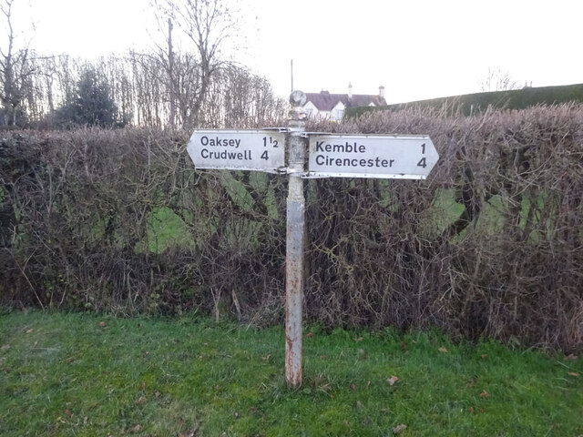
Related Wikis

Poole Keynes

Poole Keynes is a small village and civil parish in the Cotswold District of Gloucestershire, England. The village lies about 4+1⁄4 miles (7 km) south...

Kemble Railway Cuttings

Kemble Railway Cuttings (ST975976 & ST985973 & ST982989) is a 2.72-hectare (6.7-acre) geological Site of Special Scientific Interest in Gloucestershire...

Kemble railway station

Kemble railway station is a railway station that serves the village of Kemble in Gloucestershire, England. The station is on the Swindon to Gloucester...

Kemble, Gloucestershire

Kemble is a village in the civil parish of Kemble and Ewen, in the Cotswold district of Gloucestershire, England. Historically part of Wiltshire, it lies...

Somerford Keynes

Somerford Keynes (, grid reference SU019952) is a village and civil parish in the Cotswold district of Gloucestershire, England, close to the River Thames...

Oaksey Halt railway station

Oaksey Halt is a closed station on the Golden Valley Line south of Kemble railway station and Kemble Tunnel on the line to Swindon. There were short (150...

Oaksey

Oaksey is a village and civil parish in Wiltshire, England, on the county boundary with Gloucestershire. The village is about 5.5 miles (8.9 km) northeast...

Park Leaze Halt railway station

Park Leaze Halt railway station was one of two intermediate halts on the Cirencester branch line from Kemble, Gloucestershire, England. It was one of the...

Nearby Amenities

Located within 500m of 51.663662,-2.0059812
Power: pole
Lat/Long: 51.6601662/-2.0071909
Power: pole
Lat/Long: 51.6602478/-2.0055628
Power: pole
Lat/Long: 51.6603443/-2.0037255
Power: pole
Lat/Long: 51.6604574/-2.0019445
The data included in this document is from www.openstreetmap.org. The data is made available under ODbL.

Have you been to Marjorie Plantation?

Leave your review of Marjorie Plantation below (or comments, questions and feedback).