Middle Rigg Plantation
Wood, Forest in Northumberland
England
Middle Rigg Plantation
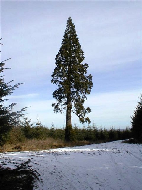
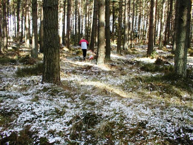
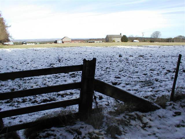
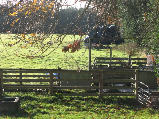
Middle Rigg Plantation is a picturesque woodland located in the county of Northumberland, England. Nestled in the heart of the countryside, this plantation covers an area of approximately 100 acres. It is a popular destination for nature enthusiasts, hikers, and those seeking a peaceful escape from the hustle and bustle of everyday life.
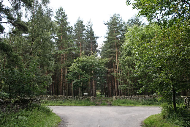
The woodland is predominantly composed of a mixture of deciduous and coniferous trees, creating a diverse and vibrant ecosystem. Oak, birch, and beech trees are scattered throughout the plantation, providing a rich habitat for a variety of wildlife. The dense canopy of the trees offers shade on sunny days and shelters visitors from the elements during inclement weather.
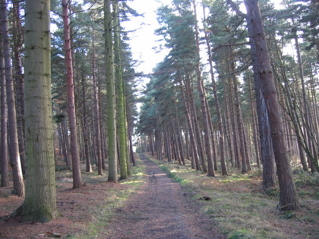
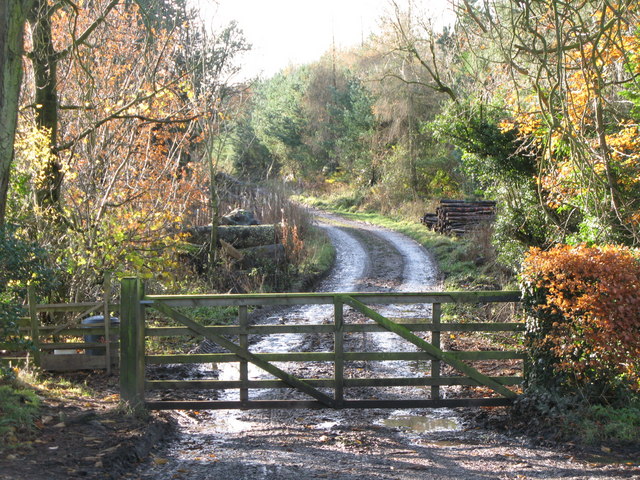
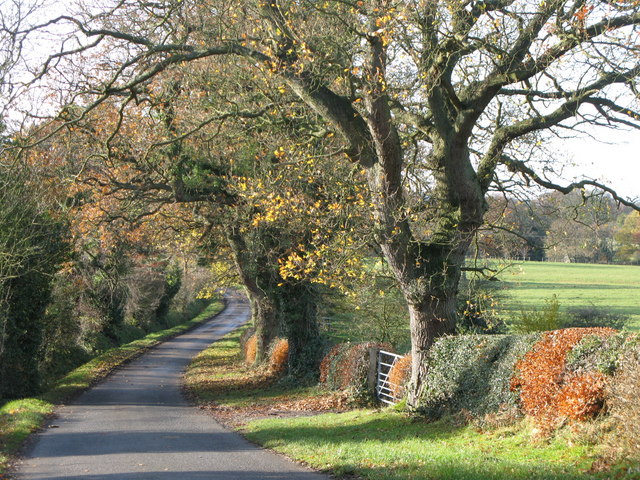
Trails wind their way through the plantation, allowing visitors to explore the woodland at their own pace. These paths are well-maintained, making them accessible for people of all ages and abilities. Along the trails, there are information boards that provide educational insights into the local flora and fauna, enhancing the overall experience.
Middle Rigg Plantation is home to an abundance of wildlife, including deer, squirrels, and a wide array of bird species. Birdwatchers can catch a glimpse of woodpeckers, owls, and other feathered friends in their natural habitat. The plantation is a haven for nature photography, providing ample opportunities to capture breathtaking shots of the landscape and its inhabitants.
Whether one seeks solitude in the midst of nature or wishes to engage in outdoor activities, Middle Rigg Plantation offers a serene and captivating environment for all. With its stunning scenery and diverse wildlife, it is no wonder that this woodland is a beloved destination for locals and tourists alike.
If you have any feedback on the listing, please let us know in the comments section below.
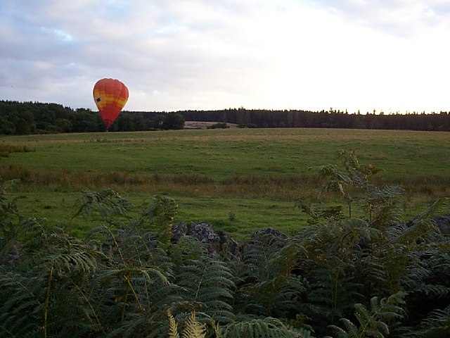
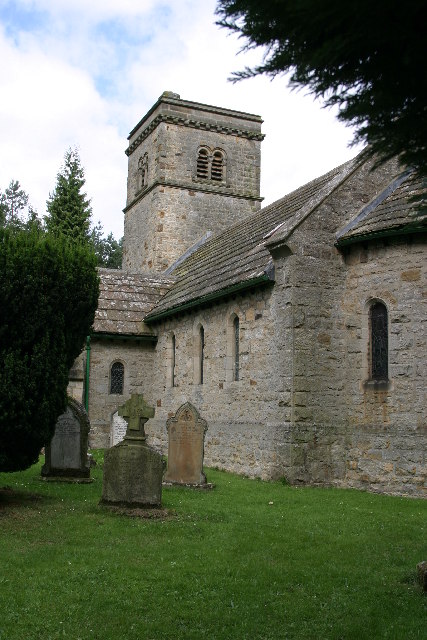
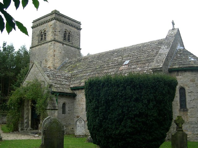
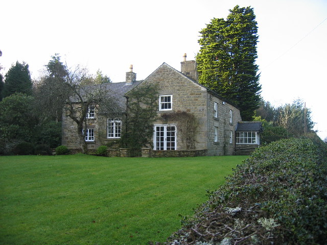
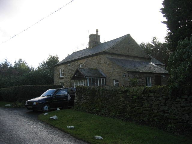
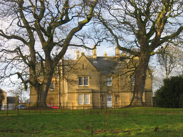
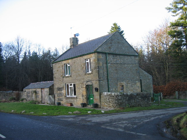
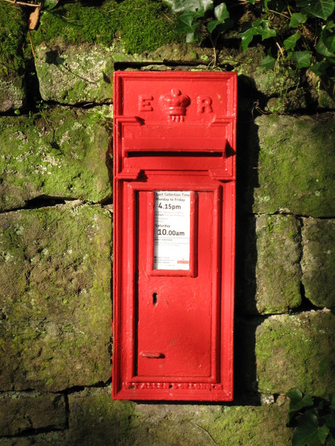
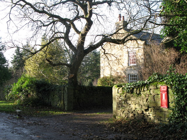
Middle Rigg Plantation Images
Images are sourced within 2km of 54.910573/-2.0065046 or Grid Reference NY9957. Thanks to Geograph Open Source API. All images are credited.
Middle Rigg Plantation is located at Grid Ref: NY9957 (Lat: 54.910573, Lng: -2.0065046)
Unitary Authority: Northumberland
Police Authority: Northumbria
What 3 Words
///sway.miles.noon. Near Slaley, Northumberland
Related Wikis

Slaley Hall
Slaley Hall is a country house golf resort in Northumberland in North East England, built by local developers Seamus O'Carroll and John Rourke which hosted...

Slaley, Northumberland
Slaley is a village in Northumberland, England. It is situated to the southeast of Hexham. It is surrounded by the following villages: Ruffside, Whitley...

Healey, Northumberland
Healey is a rural estate and civil parish in Northumberland, England, situated between Riding Mill to the north and Slaley to the south. The neo-Norman...

Colpitts Grange
Colpitts Grange is a hamlet in Northumberland, England. It is about 7 miles (11 km) to the south-east of Hexham. == Governance == Colpitts Grange is in...

Minsteracres
Minsteracres is an 18th-century mansion house, now a Christian retreat centre, in Northumberland, England. It is a Grade II listed building.The house was...

Beauclerc
Beauclerc is a small village in Northumberland, England. It is situated to the west of Riding Mill, between Hexham and Newcastle upon Tyne. == Governance... ==

Riding Mill
Riding Mill is a village near Hexham in Northumberland, England. It is part of the civil parish of Broomhaugh and Riding. It is served by Riding Mill railway...
Broomhaugh and Riding
Broomhaugh and Riding is a civil parish in Northumberland, England. It includes the villages of Broomhaugh and Riding Mill. According to the 2001 census...
Have you been to Middle Rigg Plantation?
Leave your review of Middle Rigg Plantation below (or comments, questions and feedback).