Moss Wood
Wood, Forest in Northumberland
England
Moss Wood

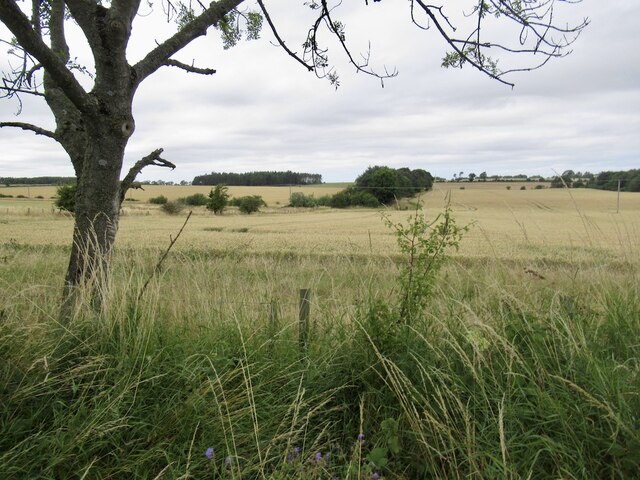
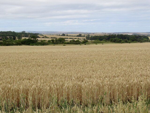
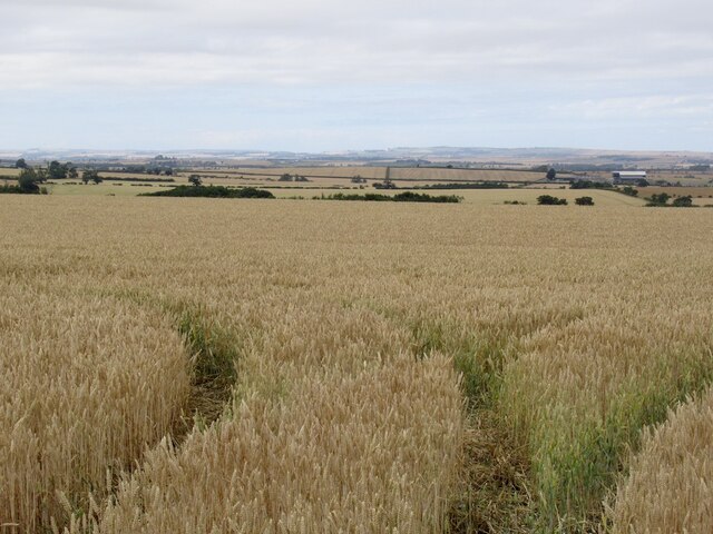
Moss Wood is a beautiful forest located in Northumberland, England. Covering an area of approximately 50 acres, this woodland is known for its diverse range of flora and fauna. The forest is dominated by a mix of broadleaf trees such as oak, birch, and beech, creating a rich and vibrant ecosystem.
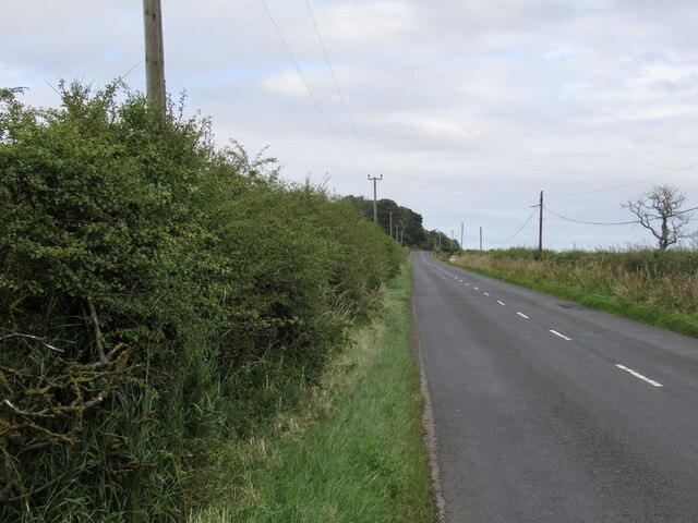
Moss Wood is a popular destination for nature lovers and hikers, with a network of well-maintained trails meandering through the forest. Visitors can enjoy peaceful walks, birdwatching, and wildlife spotting in this tranquil setting.
The forest is home to a variety of wildlife, including deer, foxes, and a wide range of bird species. The diverse habitats within Moss Wood provide a sanctuary for these animals, making it a prime location for nature enthusiasts.
In addition to its natural beauty, Moss Wood also has historical significance, with remnants of ancient settlements and archaeological sites scattered throughout the forest. These historical features add an extra layer of interest to the woodland, making it a fascinating place to explore.
Overall, Moss Wood is a picturesque and enchanting forest that offers a peaceful retreat for visitors looking to connect with nature and enjoy the beauty of the Northumberland countryside.
If you have any feedback on the listing, please let us know in the comments section below.
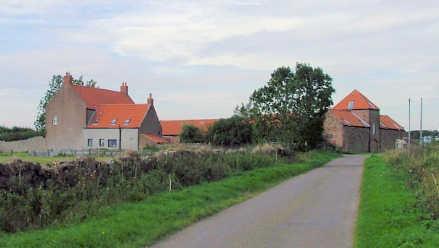
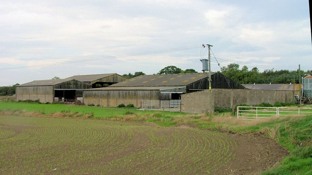
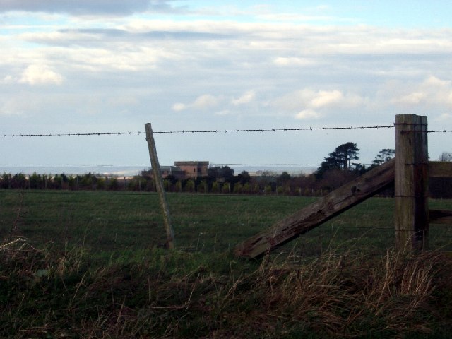
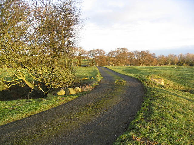
Moss Wood Images
Images are sourced within 2km of 55.644564/-2.009538 or Grid Reference NT9939. Thanks to Geograph Open Source API. All images are credited.

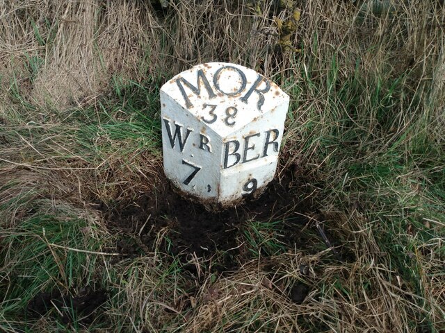
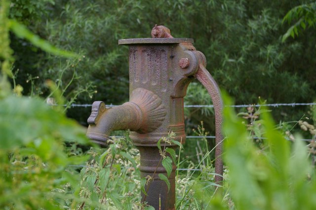
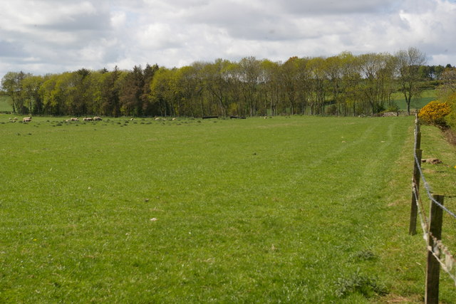
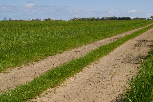


Moss Wood is located at Grid Ref: NT9939 (Lat: 55.644564, Lng: -2.009538)
Unitary Authority: Northumberland
Police Authority: Northumbria
What 3 Words
///weekend.delighted.human. Near Lowick, Northumberland
Nearby Locations
Related Wikis
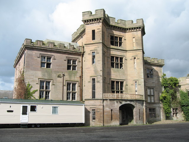
Barmoor Castle
Barmoor Castle ( grid reference NT99723988) is a privately owned 19th-century country house built on an ancient site in Northumberland. It is a Grade...
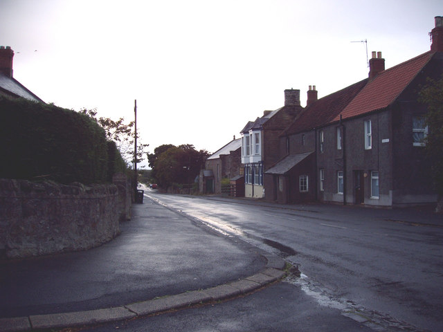
Lowick, Northumberland
Lowick () is a village in Northumberland, north east England. Lowick lies on the B6353 road, about 10 miles (16 km) south of Berwick-upon-Tweed. The Anglican...

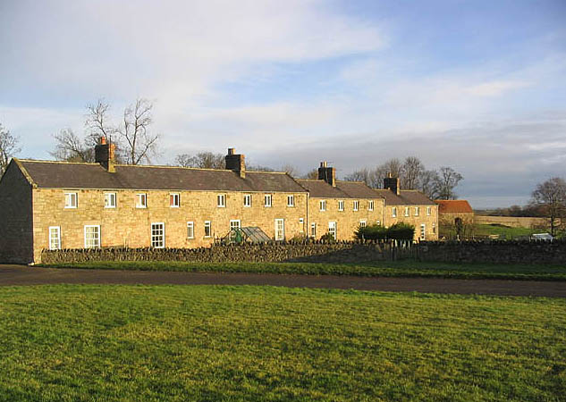
Bowsden
Bowsden is a village and civil parish in Northumberland, England. It is about 6 miles (10 km) to the south of Berwick-upon-Tweed, inland from the North...
Berrington, Northumberland
Berrington is a village in Northumberland, in England. It is situated to the south of Berwick-upon-Tweed, inland from the North Sea coast. == Governance... ==
Nearby Amenities
Located within 500m of 55.644564,-2.009538Have you been to Moss Wood?
Leave your review of Moss Wood below (or comments, questions and feedback).