Gradbach Wood

Wood, Forest in Staffordshire Staffordshire Moorlands

England

Gradbach Wood

Guide post and water trough Presumably, originally intended for watering horses but just as good for the many dogs that accompany their owners on walks around The Roaches.
Guide post and water trough Credit: Ian Calderwood

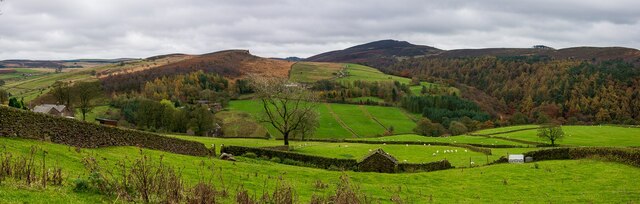
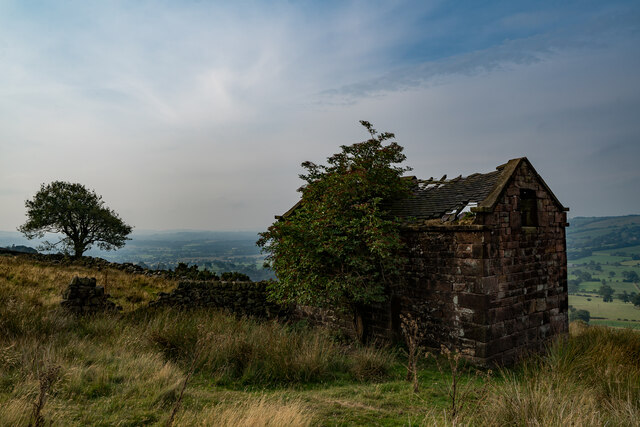
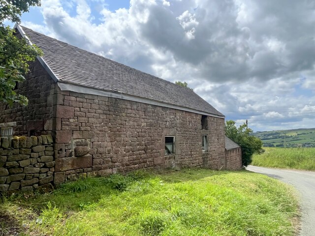
Gradbach Wood is a picturesque woodland located in the county of Staffordshire, England. Spanning over an area of approximately 500 acres, it lies within the Peak District National Park, offering visitors a tranquil and scenic escape from urban life.

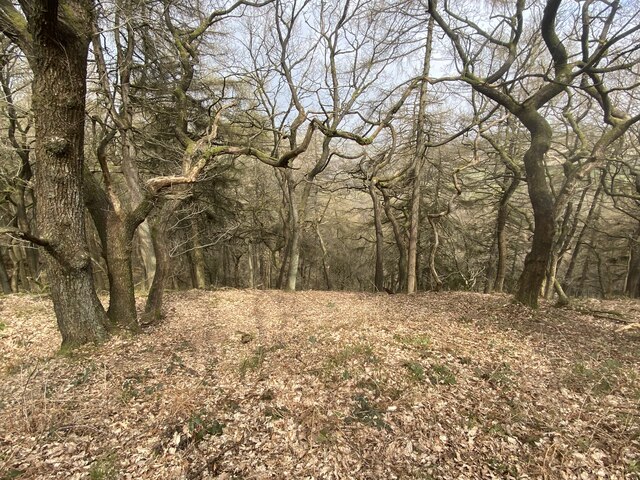
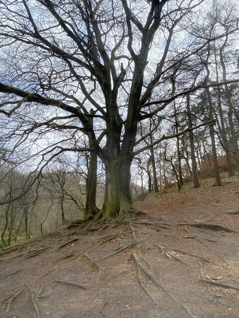
The wood is characterized by its diverse range of tree species, including oak, beech, ash, and birch, which create a dense canopy overhead. This creates a cool and shaded environment, perfect for leisurely walks and nature exploration. The forest floor is covered in a lush carpet of ferns, mosses, and wildflowers, providing a beautiful backdrop for wildlife sightings.

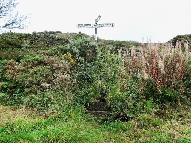
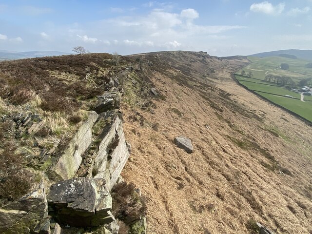
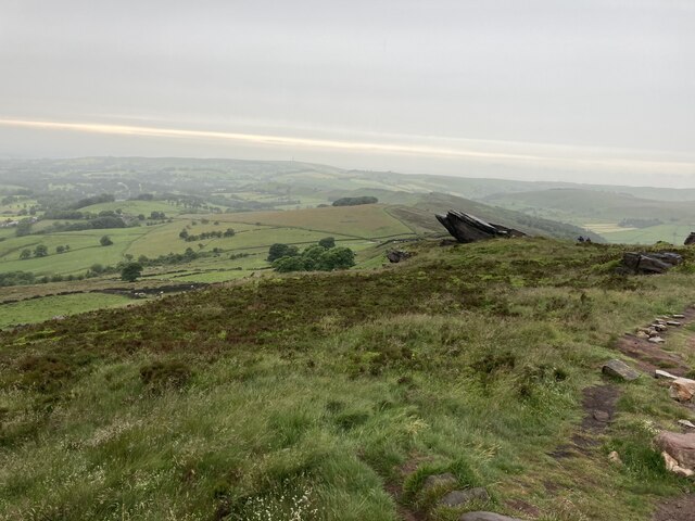
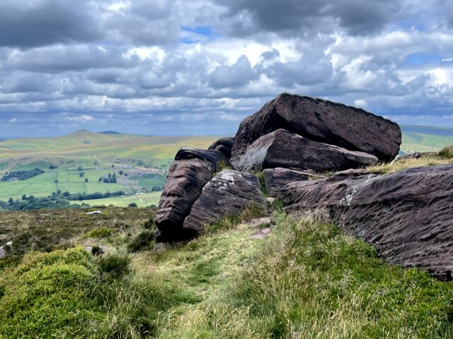
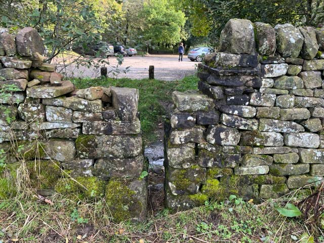
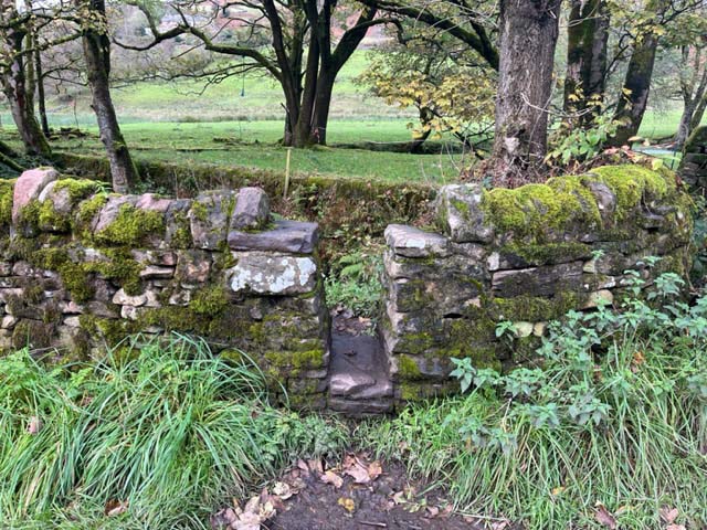
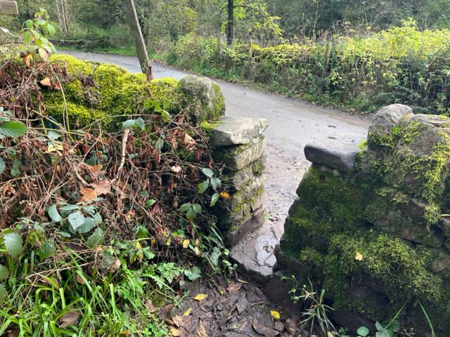
The wood is crisscrossed by a network of well-maintained footpaths, making it easily accessible for hikers and nature enthusiasts. These paths lead visitors through various habitats, including meadows, streams, and rocky outcrops, adding to the diverse and captivating landscape.

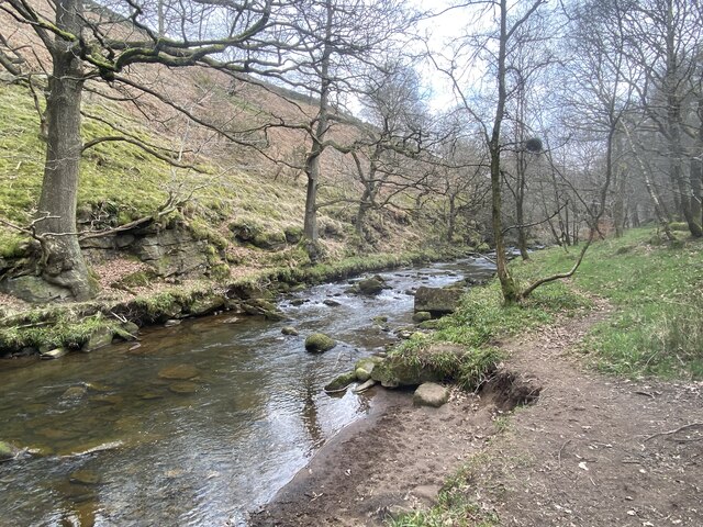
One of the standout features of Gradbach Wood is its proximity to the River Dane. The river winds its way through the woodland, adding a soothing soundtrack to any visit. It also provides opportunities for fishing and wild swimming, adding an extra dimension to the experience.

The wood is home to a rich array of wildlife, including deer, badgers, foxes, and a variety of bird species. Birdwatchers will be particularly delighted by the chance to spot kingfishers, woodpeckers, and buzzards in their natural habitat.

Overall, Gradbach Wood offers a peaceful and enchanting escape for nature lovers, with its diverse flora and fauna, picturesque landscapes, and tranquil river setting.

If you have any feedback on the listing, please let us know in the comments section below.

Gradbach Wood Images

Images are sourced within 2km of 53.183923/-2.0090729 or Grid Reference SJ9965. Thanks to Geograph Open Source API. All images are credited.

Guide post and water trough Presumably, originally intended for watering horses but just as good for the many dogs that accompany their owners on walks around The Roaches.
Guide post and water trough
Presumably, originally intended for watering horses but just as good for the many dogs that accompany their owners on walks around The Roaches.
Gradbach, Peak District An elevated view from a road to the North.
Gradbach, Peak District
An elevated view from a road to the North.
Helmesley, Peak District The A54 is a short distance ahead. The Sutton Common BT Tower is also visible in the distance.
Helmesley, Peak District
The A54 is a short distance ahead. The Sutton Common BT Tower is also visible in the distance.
Forest Wood Sloping steeply down to the River Dane.
Forest Wood
Sloping steeply down to the River Dane.
Back Forest escarpment
Tree with exposed roots At the edge of Forest Wood by the River Dane.
Tree with exposed roots
At the edge of Forest Wood by the River Dane.
River Dane From the Staffordshire bank.
River Dane
From the Staffordshire bank.
Approaching Roach End
Footbridge over the Dane at Gradbach Mill
Ruined sheepfold at Goosetree Farm
Spring Barn, Roaches
Barn at Roche Grange
Gritstone outcrop on the Roaches
Stone Stile, Rushton Spencer Off Gradbach car park in Gradbach Mill Lane looking West from the car park.
The view to the car park is <a href="https://www.geograph.org.uk/photo/7638396">SJ9966 : Stone Stile, Rushton Spencer</a>.
Stone Stile, Rushton Spencer
Off Gradbach car park in Gradbach Mill Lane looking West from the car park. The view to the car park is SJ9966 : Stone Stile, Rushton Spencer.
Stone Stile, Rushton Spencer Off Gradbach car park in Gradbach Mill Lane looking East to the car park.
The view from is <a href="https://www.geograph.org.uk/photo/7638395">SJ9966 : Stone Stile, Rushton Spencer</a>.
Stone Stile, Rushton Spencer
Off Gradbach car park in Gradbach Mill Lane looking East to the car park. The view from is SJ9966 : Stone Stile, Rushton Spencer.
Stone Stile, Rushton Spencer Off Gradbach Mill Lane on Staffordshire footpath Quarnford 0.1812(a) looking North.
The view out to the lane is <a href="https://www.geograph.org.uk/photo/7639195">SJ9966 : Stone Stile, Rushton Spencer</a>.
Stone Stile, Rushton Spencer
Off Gradbach Mill Lane on Staffordshire footpath Quarnford 0.1812(a) looking North. The view out to the lane is SJ9966 : Stone Stile, Rushton Spencer.
Stone Stile, Rushton Spencer Off Gradbach Mill Lane on Staffordshire footpath Quarnford CP 2 looking South.
The view from the lane is <a href="https://www.geograph.org.uk/photo/7639191">SJ9966 : Stone Stile, Rushton Spencer</a>.
Stone Stile, Rushton Spencer
Off Gradbach Mill Lane on Staffordshire footpath Quarnford CP 2 looking South. The view from the lane is SJ9966 : Stone Stile, Rushton Spencer.
Stone Stile, Rushton Spencer A farmer's private stile near Gradbach Mill Lane.
The view from the other side is <a href="https://www.geograph.org.uk/photo/7639291">SJ9966 : Stone Stile, Rushton Spencer</a>.
Stone Stile, Rushton Spencer
A farmer's private stile near Gradbach Mill Lane. The view from the other side is SJ9966 : Stone Stile, Rushton Spencer.
Show me another place!

Gradbach Wood is located at Grid Ref: SJ9965 (Lat: 53.183923, Lng: -2.0090729)

Administrative County: Staffordshire

District: Staffordshire Moorlands

Police Authority: Staffordshire

What 3 Words

///awakening.browsers.plunge. Near Leek, Staffordshire

Nearby Locations

Gradbach Wood

Related Wikis

Lud's Church

Lud's Church (sometimes written as Ludchurch) is a deep chasm penetrating the Millstone Grit bedrock created by a massive landslip on the hillside above...

The Roaches

The Roaches (from the French les roches – the rocks) is a prominent rocky ridge above Leek and Tittesworth Reservoir in the Staffordshire Peak District...

Swythamley Hall

Swythamley Hall is a late 18th-century country house near Leek, Staffordshire which has been converted into four separate residences. It is a Grade II...

Black Brook Nature Reserve

Black Brook is a nature reserve of the Staffordshire Wildlife Trust, about 7 miles (11 km) north-east of Leek, in Staffordshire, England. It is moorland...

Allgreave

Allgreave is a village in Cheshire, England. It lies on the A54 (Buxton to Congleton) road, near to the border with Staffordshire. Allgreave Methodist...

Wincle

Wincle is a village and civil parish in the Cheshire East district of Cheshire, England. It holds parish meetings, rather than parish council meetings...

Three Shire Heads

Three Shire Heads (also known as Three Shires Head) is the point on Axe Edge Moor where Cheshire, Derbyshire and Staffordshire meet, at UK grid reference...

Flash, Staffordshire

Flash is a village in the Staffordshire Moorlands, England, and Peak District National Park. At 1,519 feet (463 m) above sea level, it is the highest village...

Nearby Amenities

Located within 500m of 53.183923,-2.0090729
Hiking: yes
Information: guidepost
Source: GPS survey
Tourism: information
Lat/Long: 53.181509/-2.0084274
The data included in this document is from www.openstreetmap.org. The data is made available under ODbL.

Have you been to Gradbach Wood?

Leave your review of Gradbach Wood below (or comments, questions and feedback).