Rough Moor
Wood, Forest in Staffordshire Stafford
England
Rough Moor

Rough Moor, located in Staffordshire, England, is a picturesque wood and forest area that spans over a significant portion of land. With its diverse range of flora and fauna, it is a popular destination for nature enthusiasts and those seeking tranquility in the great outdoors.
Covering an area of approximately 200 hectares, Rough Moor boasts a varied topography consisting of rolling hills, dense woodlands, and open meadows. The woodlands are predominantly composed of native trees such as oak, beech, and birch, creating a rich and vibrant ecosystem. These trees provide a habitat for a wide array of wildlife, including deer, foxes, badgers, and an abundance of bird species.
Visitors to Rough Moor can enjoy a range of activities, including hiking, cycling, and bird-watching. The area is crisscrossed with numerous walking trails and cycling paths, allowing visitors to explore the beauty of the landscape at their own pace. The extensive network of footpaths also provides an opportunity for nature enthusiasts to observe the local wildlife in its natural habitat.
Rough Moor is managed by a dedicated team of conservationists who work tirelessly to maintain its ecological balance and protect its natural beauty. Throughout the year, they organize educational events and guided walks to raise awareness about the importance of environmental conservation.
Overall, Rough Moor in Staffordshire offers a tranquil escape from the hustle and bustle of everyday life, inviting visitors to immerse themselves in the beauty of nature and experience the serenity of a true woodland paradise.
If you have any feedback on the listing, please let us know in the comments section below.
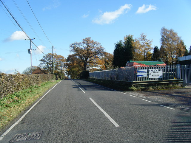
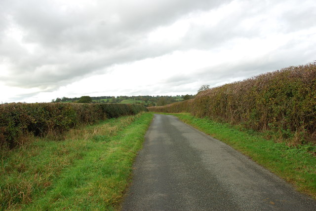
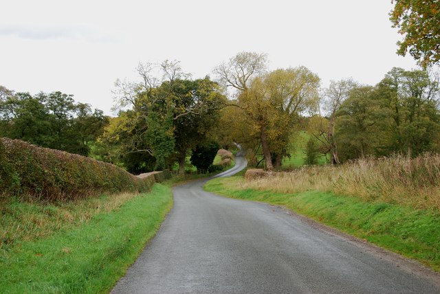
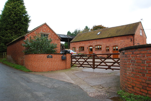
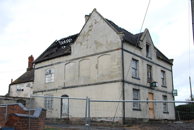
Rough Moor Images
Images are sourced within 2km of 52.876244/-2.0116663 or Grid Reference SJ9930. Thanks to Geograph Open Source API. All images are credited.


Rough Moor is located at Grid Ref: SJ9930 (Lat: 52.876244, Lng: -2.0116663)
Administrative County: Staffordshire
District: Stafford
Police Authority: Staffordshire
What 3 Words
///form.hardback.dandelions. Near Great Haywood, Staffordshire
Nearby Locations
Related Wikis

Fradswell
Fradswell is a village in Staffordshire, England, approximately 7 miles (10 km) north-east of the town of Stafford and 7 miles (11 km) north of Colwich...

Coton Hill, Staffordshire
Coton Hill is a hamlet in the English county of Staffordshire. Coton Hill is located east of the village of Milwich on the B5027 road between Stone and...

Milwich
Milwich is a village and a civil parish in the English county of Staffordshire. == Location == The village is 7.8 miles (12.6 km) north east of the town...

Gayton, Staffordshire
Gayton is a small rural village and civil parish in Staffordshire, located approximately 1 mile from the A51 between Stone and Stafford. In 2001 it had...
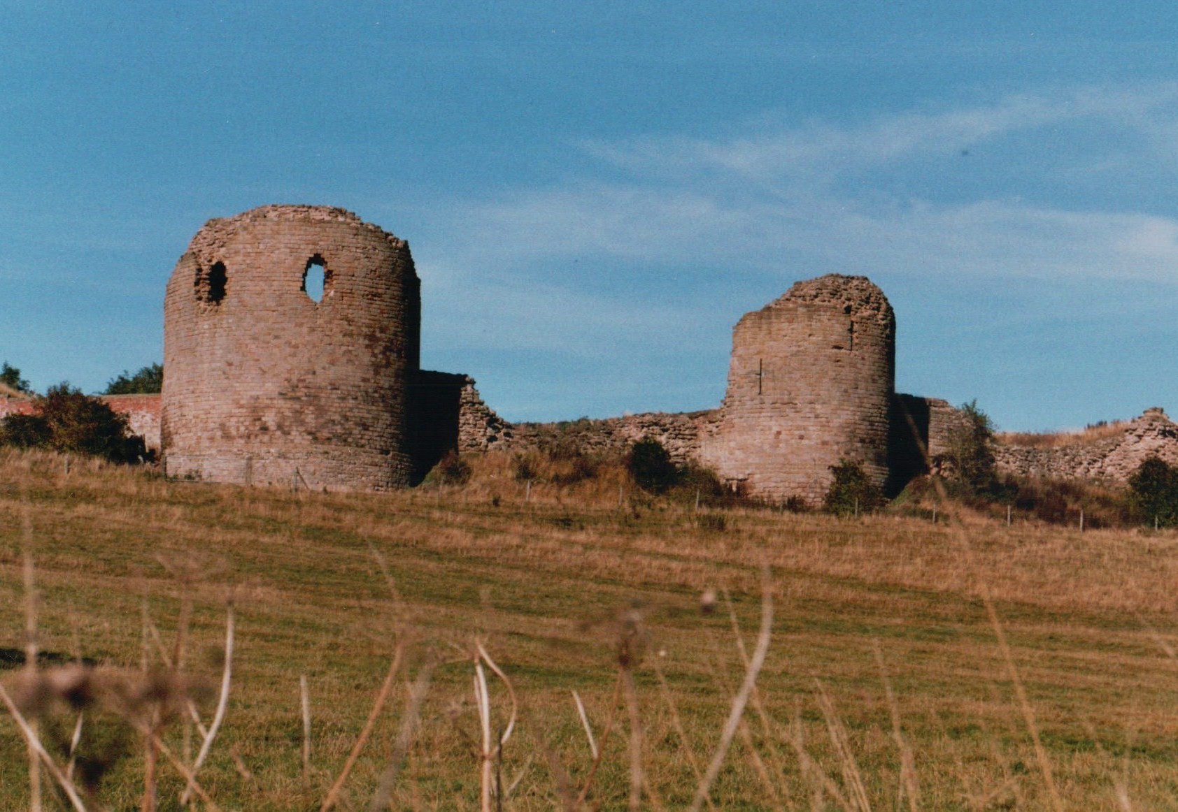
Chartley Castle
Chartley Castle lies in ruins to the north of the village of Stowe-by-Chartley in Staffordshire, between Stafford and Uttoxeter (grid reference SK010285...

Amerton Railway
The Amerton Railway is a 2 ft (610 mm) narrow gauge heritage railway in the English county of Staffordshire. It is owned by Staffordshire Narrow Gauge...

Chartley railway station
Chartley railway station was a former British railway station to serve the village of Stowe-by-Chartley in Staffordshire. It was opened by the Stafford...

Gratwich
Gratwich is a village and former civil parish, now in the parish of Kingstone, in the East Staffordshire district, in the county of Staffordshire, England...
Nearby Amenities
Located within 500m of 52.876244,-2.0116663Have you been to Rough Moor?
Leave your review of Rough Moor below (or comments, questions and feedback).