Boat House Clump
Wood, Forest in Dorset
England
Boat House Clump
Boat House Clump is a picturesque woodland located in Dorset, England. Situated in the heart of the county, this charming forest is known for its abundant wood resources and natural beauty. The clump is named after a boat house that was once situated on the nearby lake, which has long since disappeared.
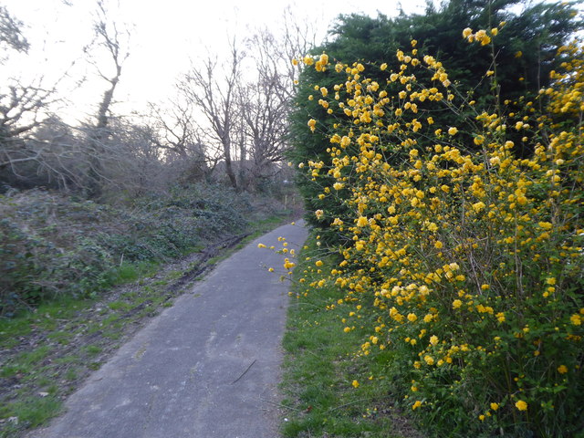
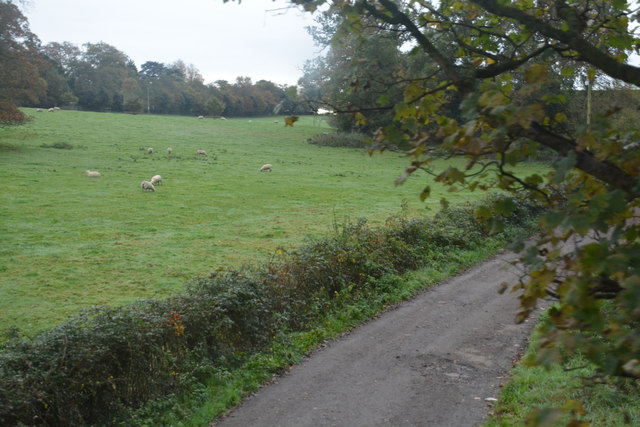
The woodland encompasses an area of approximately 20 acres and is predominantly composed of broadleaf trees such as oak, beech, and ash. These towering trees provide a dense canopy, casting a tranquil shade over the forest floor. The undergrowth consists of bracken, bluebells, and ferns, creating a vibrant tapestry of colors during the spring and summer months.
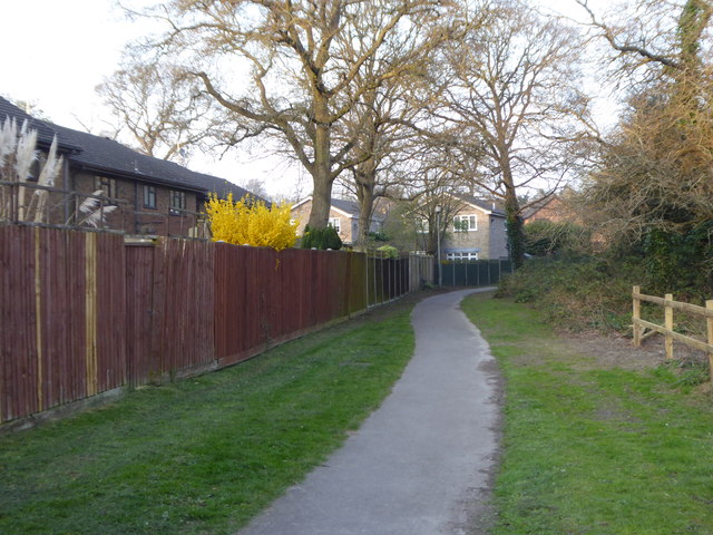
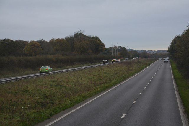
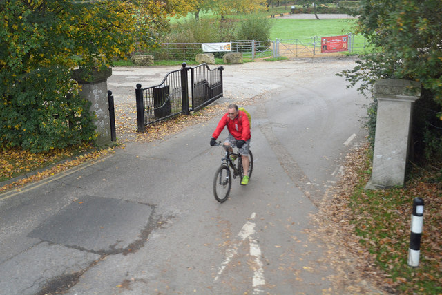
Boat House Clump is a popular destination for hikers, nature enthusiasts, and photographers. The forest boasts a network of well-maintained footpaths, allowing visitors to explore the area and appreciate its natural wonders. Along these trails, one can expect to encounter a variety of wildlife, including squirrels, deer, and an array of bird species.
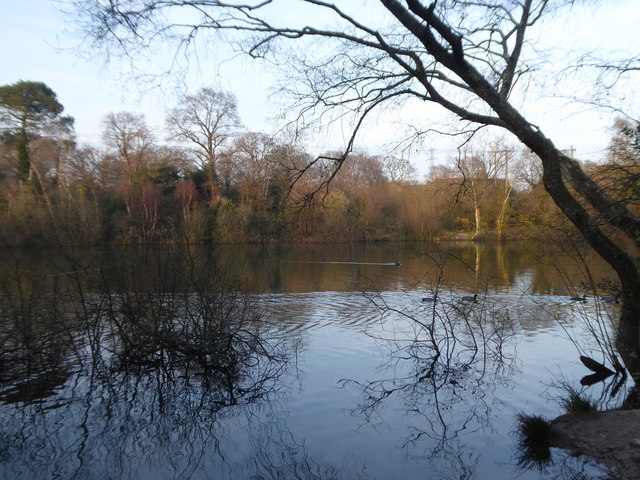
The clump is also home to a small lake, which adds to its allure. The calm waters reflect the surrounding trees, creating a picturesque setting that is ideal for relaxation and contemplation. Fishing is permitted in the lake, attracting anglers who seek a peaceful spot to cast their lines.
Overall, Boat House Clump in Dorset is a haven for nature lovers and outdoor enthusiasts. Its tranquil atmosphere, diverse flora and fauna, and scenic surroundings make it a must-visit destination for those seeking a peaceful retreat in the heart of nature.
If you have any feedback on the listing, please let us know in the comments section below.
Boat House Clump Images
Images are sourced within 2km of 50.732835/-2.0110851 or Grid Reference SY9992. Thanks to Geograph Open Source API. All images are credited.
Boat House Clump is located at Grid Ref: SY9992 (Lat: 50.732835, Lng: -2.0110851)
Unitary Authority: Bournemouth, Christchurch and Poole
Police Authority: Dorset
What 3 Words
///tribe.quiet.split. Near Poole, Dorset
Nearby Locations
Related Wikis

Upton House, Dorset
Upton House is a country house in the grounds of Upton Country Park on the northwestern shoreline of Holes Bay in the county of Dorset on the south coast...

Holes Bay Nature Park
Holes Bay Nature Park is a protected area, 286 hectares in size, on and around Holes Bay, an embayment of Poole Harbour within the Borough of Poole that...

Pergins Island
Pergins Island is a small, uninhabited island in Holes Bay, an embayment off Poole Harbour in Dorset on the south coast of England. It is not accessible...

Holes Bay
Holes Bay is an intertidal embayment off Poole Harbour in the county of Dorset on the south coast of England. It lies mostly within the Borough of Poole...
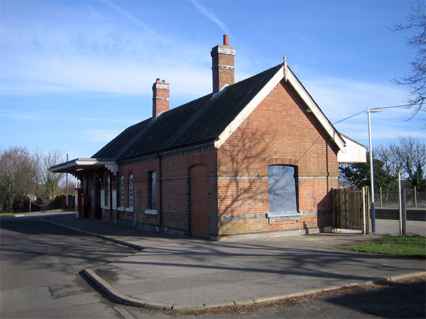
Hamworthy railway station
Hamworthy railway station serves Hamworthy, an area of Poole in Dorset, England. It is 115 miles 77 chains (186.6 km) down the line from London Waterloo...

Hamworthy
Hamworthy is a village, parish, peninsula and suburb of Poole in Dorset, England. It is sited on a peninsula of approximately 3 square kilometres (1.2...
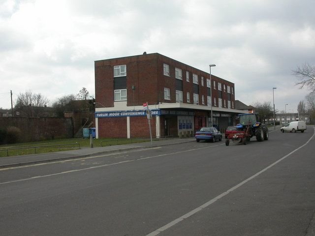
Turlin Moor
Turlin Moor is a suburb of Poole in Dorset, England, located between Hamworthy and Upton. Turlin Moor is classed as part of the Hamworthy Community and...

Upton, Dorset
Upton is a town in south-east Dorset, England. Upton is to the east of Holton Heath and Upton Heath, and to the north of the Poole suburb of Hamworthy...
Nearby Amenities
Located within 500m of 50.732835,-2.0110851Have you been to Boat House Clump?
Leave your review of Boat House Clump below (or comments, questions and feedback).