Round Wood

Wood, Forest in Wiltshire

England

Round Wood

From a Swindon-Bristol train, fields near Sodom Lane
From a Swindon-Bristol train, fields near Sodom Lane Credit: Nigel Thompson

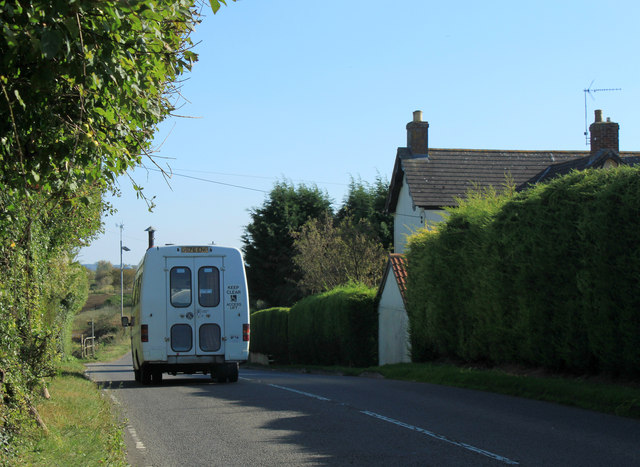
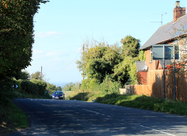
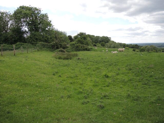
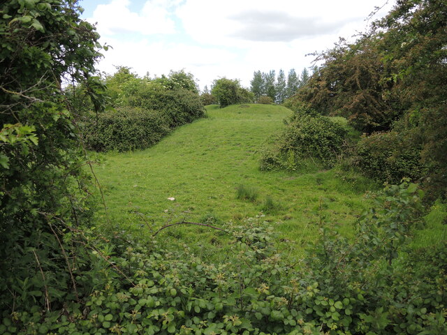
Round Wood is a picturesque forest located in the county of Wiltshire, England. Spanning an area of approximately 100 acres, it is renowned for its natural beauty and diverse range of flora and fauna. The wood is situated near the village of Wroughton and is easily accessible from the nearby town of Swindon.

The forest is predominantly composed of broadleaf trees such as oak, beech, and birch, which create a lush canopy and provide a habitat for numerous woodland creatures. It is also home to a variety of bird species, including woodpeckers, thrushes, and owls. The forest floor is adorned with an array of wildflowers, adding to the charm and serenity of the wood.

Round Wood offers visitors a tranquil escape from the hustle and bustle of urban life. It features well-maintained trails that meander through the forest, allowing visitors to explore its natural wonders at their own pace. These trails are suitable for both leisurely strolls and more vigorous hikes.

The wood is a popular destination for nature enthusiasts, families, and dog walkers. It provides ample opportunities for outdoor activities such as picnicking, birdwatching, and photography. The forest also has designated areas for camping and provides basic facilities for those looking to spend a night under the stars.

Round Wood is a cherished local treasure, attracting visitors throughout the year who come to immerse themselves in its tranquil ambiance and soak up the beauty of the natural world.

If you have any feedback on the listing, please let us know in the comments section below.
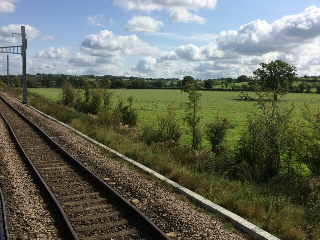
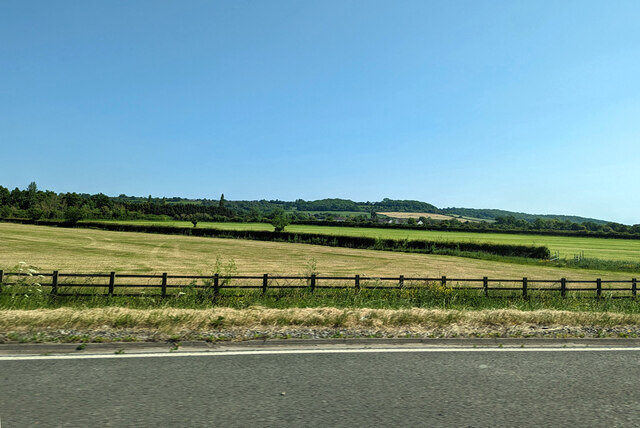
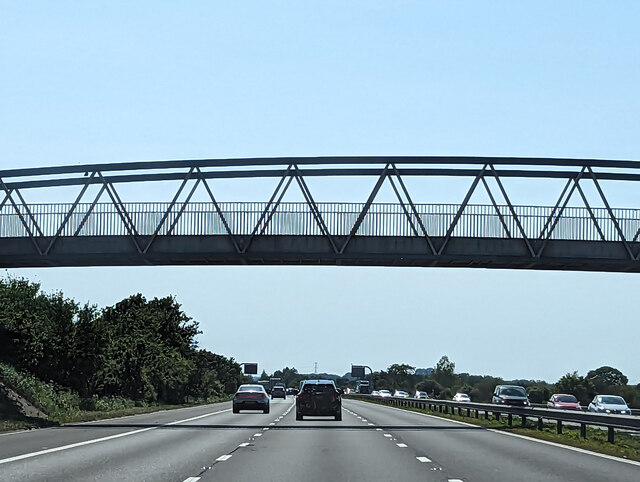
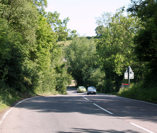
Round Wood Images

Images are sourced within 2km of 51.515404/-2.0114947 or Grid Reference ST9979. Thanks to Geograph Open Source API. All images are credited.

From a Swindon-Bristol train, fields near Sodom Lane
Farmland south of M4 near Dauntsey
M4 passing under bridge near Dauntsey A bridleway crosses.
M4 passing under bridge near Dauntsey
A bridleway crosses.
2011 : B4069 heading west toward Christian Malford And Chippenham.
Just made it round the bend, some of the bends on this hill are easy to misjudge.
2011 : B4069 heading west toward Christian Malford
And Chippenham. Just made it round the bend, some of the bends on this hill are easy to misjudge.
2011 : B4069 heading into Lyneham Go to the top of the hill seen in <a href="https://www.geograph.org.uk/photo/924539">SU0079 : B4069 towards Lyneham</a>
2011 : B4069 heading into Lyneham
Go to the top of the hill seen in SU0079 : B4069 towards Lyneham
2011 : B4069 at the top of Lyneham Banks heading east Half a mile to the A3102 and Lyneham.
No more the sound of aircraft landing and leaving the RAF base a few hundred yards to the south.
2011 : B4069 at the top of Lyneham Banks heading east
Half a mile to the A3102 and Lyneham. No more the sound of aircraft landing and leaving the RAF base a few hundred yards to the south.
2011 : B4069 at the top of Lyneham Banks Heading west and about to drop down to Dauntsey Lock on the way to Christian Malford and Chippenham.
2011 : B4069 at the top of Lyneham Banks
Heading west and about to drop down to Dauntsey Lock on the way to Christian Malford and Chippenham.
Turning to Bradenstoke in Lyneham Banks
RAF Lyneham airfield Ancillary buildings and a hangar on the disused RAF Lyneham airfield seen from the bridleway which runs alongside the perimeter fence. RAF Lyneham was closed in December 2012 when its functions were transferred to RAF Brize Norton.
RAF Lyneham airfield
Ancillary buildings and a hangar on the disused RAF Lyneham airfield seen from the bridleway which runs alongside the perimeter fence. RAF Lyneham was closed in December 2012 when its functions were transferred to RAF Brize Norton.
Insured in Bradenstoke An ancient house bears an insurance plaque, so marking it out as having some protection.
Insured in Bradenstoke
An ancient house bears an insurance plaque, so marking it out as having some protection.
Need a lift home? The Cross Keys Inn is the last surviving pub in Bradenstoke (The nearby Jolly Trooper Inn is now a private residence). Outside is what appears to be a taxi, with graphics. Do they do home deliveries of drinkers?
Need a lift home?
The Cross Keys Inn is the last surviving pub in Bradenstoke (The nearby Jolly Trooper Inn is now a private residence). Outside is what appears to be a taxi, with graphics. Do they do home deliveries of drinkers?
The Cross Keys A large sign outside the pub.
The Cross Keys
A large sign outside the pub.
Providence Chapel, Bradenstoke The Strict Baptist chapel was founded in 1777 and has a burial ground to the rear of the property. Built by Isaac Turner of Calne, it was adorned with a clock and bell of 1775, provided by John Broom of Castle Combe. The chapel is said to be the only one in Britain that has a bell to summon worshippers.

Repair work and restoration was needed and in 1928 £500 was raised to carry out the work; the bellcote rebuilt around 1960. With dwindling congregations, the church shut for a time in 1997 but was re-opened a year later.
Providence Chapel, Bradenstoke
The Strict Baptist chapel was founded in 1777 and has a burial ground to the rear of the property. Built by Isaac Turner of Calne, it was adorned with a clock and bell of 1775, provided by John Broom of Castle Combe. The chapel is said to be the only one in Britain that has a bell to summon worshippers. Repair work and restoration was needed and in 1928 £500 was raised to carry out the work; the bellcote rebuilt around 1960. With dwindling congregations, the church shut for a time in 1997 but was re-opened a year later.
Earthworks by the fishpond The ancient sites of Clack Mount and Bradenstoke Abbey are physically close, if not historically. Their various extents meet and probably overlap around here, somewhere between the two major centres. The thick vegetation hides what is believed to be a fishpond, associated with the former abbey further to the west. Earthworks surround and link to the older 'castle' of Clack Mount, although the sheep are not that bothered as they can wander freely across the landscape.
Earthworks by the fishpond
The ancient sites of Clack Mount and Bradenstoke Abbey are physically close, if not historically. Their various extents meet and probably overlap around here, somewhere between the two major centres. The thick vegetation hides what is believed to be a fishpond, associated with the former abbey further to the west. Earthworks surround and link to the older 'castle' of Clack Mount, although the sheep are not that bothered as they can wander freely across the landscape.
A Barrow and a motte Clack Mount is an enigmatic ancient site. There are few solid details to draw from, but it appears to be a Bronze Age barrow mound, surrounded by later motte and bailey earthworks. Some writers have labelled the burial mound as Scufa's Barrow, and is mentioned in Anglo-Saxon documents, but this is not fully proven.

Its location close to the ruinous Bradenstoke Abbey suggests that some of the earthworks here are much later, even perhaps that the area was landscaped as a prospect in the eighteenth or nineteenth centuries. Certainly, there is a small mound that was built as a WWII pillbox.
A Barrow and a motte
Clack Mount is an enigmatic ancient site. There are few solid details to draw from, but it appears to be a Bronze Age barrow mound, surrounded by later motte and bailey earthworks. Some writers have labelled the burial mound as Scufa's Barrow, and is mentioned in Anglo-Saxon documents, but this is not fully proven. Its location close to the ruinous Bradenstoke Abbey suggests that some of the earthworks here are much later, even perhaps that the area was landscaped as a prospect in the eighteenth or nineteenth centuries. Certainly, there is a small mound that was built as a WWII pillbox.
Keeping the brothers fed Bradenstoke Abbey was founded in around 1142 by Augustinian Canons and dedicated to St Mary. It remained in use until the Dissolution in 1539 and to keep the monks in food two fishponds were dug to the east of the main buildings. Now heavily overgrown the two ponds are marked by the greenery and with sheep allowed to graze they are easy to find. The remains of the Abbey tower still stand in the background.
Keeping the brothers fed
Bradenstoke Abbey was founded in around 1142 by Augustinian Canons and dedicated to St Mary. It remained in use until the Dissolution in 1539 and to keep the monks in food two fishponds were dug to the east of the main buildings. Now heavily overgrown the two ponds are marked by the greenery and with sheep allowed to graze they are easy to find. The remains of the Abbey tower still stand in the background.
The tower remains standing Bradenstoke Abbey was founded in 1142 and continued to operate until the Dissolution in 1539. It then was used mainly as a farm and much of the original buildings altered or indeed became derelict over the centuries. However, the real losses occurred in the 1920s when the owner, American newspaper magnate Raldolph Hearst, took lots of stonework and moved it elsewhere. Some of it ended up at St Donat's in Glamorgan, the rest went to his estate in the States.

Fortunately, the tower was not removed and is the principal survivor from the time.
The tower remains standing
Bradenstoke Abbey was founded in 1142 and continued to operate until the Dissolution in 1539. It then was used mainly as a farm and much of the original buildings altered or indeed became derelict over the centuries. However, the real losses occurred in the 1920s when the owner, American newspaper magnate Raldolph Hearst, took lots of stonework and moved it elsewhere. Some of it ended up at St Donat's in Glamorgan, the rest went to his estate in the States. Fortunately, the tower was not removed and is the principal survivor from the time.
Still holding water One of the old abbey fishponds in Bradenstoke stills holds water - as evidenced by the lush growth covering it.
Still holding water
One of the old abbey fishponds in Bradenstoke stills holds water - as evidenced by the lush growth covering it.
Show me another place!

Round Wood is located at Grid Ref: ST9979 (Lat: 51.515404, Lng: -2.0114947)

Unitary Authority: Wiltshire

Police Authority: Wiltshire

What 3 Words

///passwords.grazes.flattered. Near Lyneham, Wiltshire

Related Wikis

Bradenstoke Priory

Bradenstoke Priory was a medieval priory of Augustinian canons regular in the village of Bradenstoke, Wiltshire, England. Its site, in the north of the...

Wilts & Berks Canal Trust

The Wilts & Berks Canal Trust is a registered charity no. 299595, and a waterway society based in Wiltshire, England, concerned with the restoration of...

Dauntsey railway station

Dauntsey railway station served the village of Dauntsey, Wiltshire from 1868 to 1965. It was situated on the Great Western Main Line which runs from London...

Dauntsey Vale

The Dauntsey Vale is a geographical feature in the north of the English county of Wiltshire. It is characterised by a wide, flat, clay floodplain of the...

Bradenstoke

Bradenstoke is a village in Wiltshire, England, lying to the north of the former RAF Lyneham airbase and 1.5 miles (2.4 km) northwest of Lyneham. Originally...

RAF Lyneham

Royal Air Force Lyneham otherwise known as RAF Lyneham (IATA: LYE, ICAO: EGDL) was a Royal Air Force station located 6.3 miles (10.1 km) northeast of Chippenham...

MOD Lyneham

Ministry of Defence Lyneham or MOD Lyneham is a Ministry of Defence site in Wiltshire, England, about 7 miles (11 km) north-east of Chippenham and 10 miles...

Dauntsey

Dauntsey is a small village and civil parish in the county of Wiltshire, England. It gives its name to the Dauntsey Vale in which it lies and takes its...

Nearby Amenities

Located within 500m of 51.515404,-2.0114947
Barrier: stile
Source: survey;gps
Lat/Long: 51.5151453/-2.0043445
Barrier: stile
Source: survey;gps
Lat/Long: 51.5142799/-2.0048631
The data included in this document is from www.openstreetmap.org. The data is made available under ODbL.

Have you been to Round Wood?

Leave your review of Round Wood below (or comments, questions and feedback).