Pedamsoak Wood
Wood, Forest in Durham
England
Pedamsoak Wood
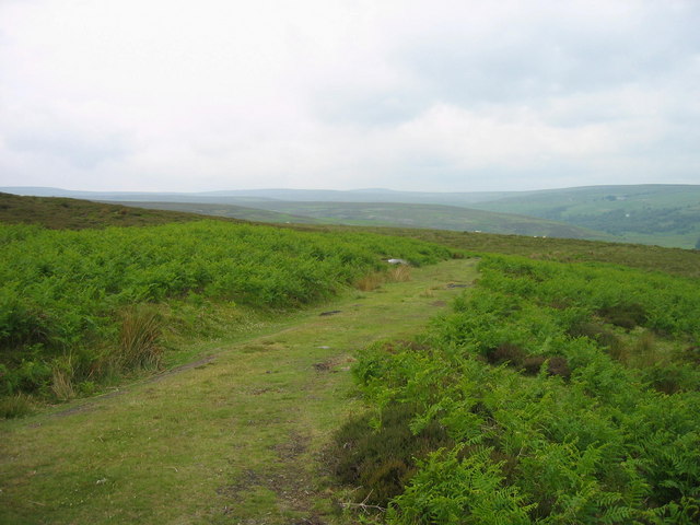
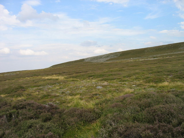
Pedamsoak Wood is a picturesque woodland located in the county of Durham, England. Covering an area of approximately 50 hectares, it is a part of the larger Hamsterley Forest, which is renowned for its natural beauty and rich biodiversity.
The woodland is predominantly composed of mixed deciduous and coniferous trees, creating a diverse and enchanting landscape. Oak, beech, and ash trees dominate the area, providing a habitat for a variety of plant and animal species. The forest floor is adorned with an array of wildflowers, creating a colorful carpet during the spring and summer months.
Pedamsoak Wood offers a tranquil escape for nature enthusiasts, hikers, and birdwatchers. The forest is crisscrossed with well-maintained footpaths, allowing visitors to explore its beauty and discover hidden gems along the way. With its peaceful atmosphere and stunning vistas, it is a perfect destination for those seeking solace in nature.
The woodland is home to a diverse range of wildlife, including birds such as woodpeckers, owls, and various species of songbirds. Mammals like deer, foxes, and squirrels can also be spotted in the area. The forest's rich biodiversity makes it an important conservation site, attracting researchers and conservationists from far and wide.
Pedamsoak Wood offers various recreational activities, including picnicking, cycling, and horse riding. The forest also has designated areas for camping and barbecues, allowing visitors to extend their stay and immerse themselves in the natural surroundings.
Overall, Pedamsoak Wood is a captivating woodland that combines natural beauty, biodiversity, and recreational opportunities, making it a must-visit destination for nature lovers and outdoor enthusiasts in Durham.
If you have any feedback on the listing, please let us know in the comments section below.
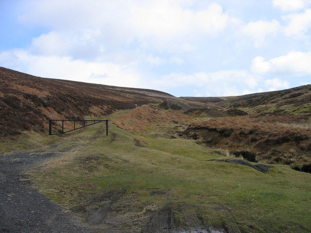
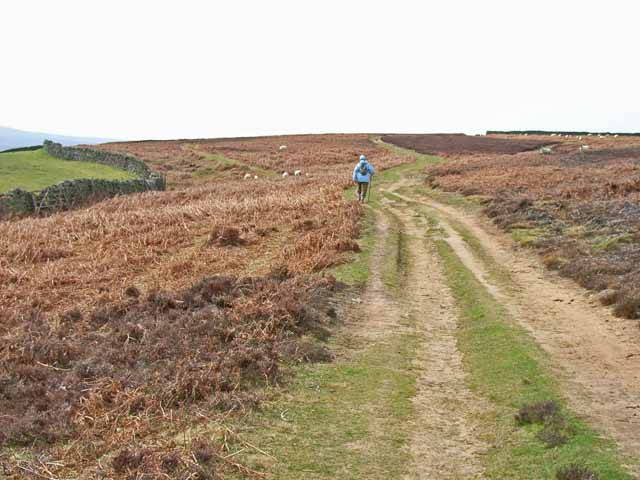
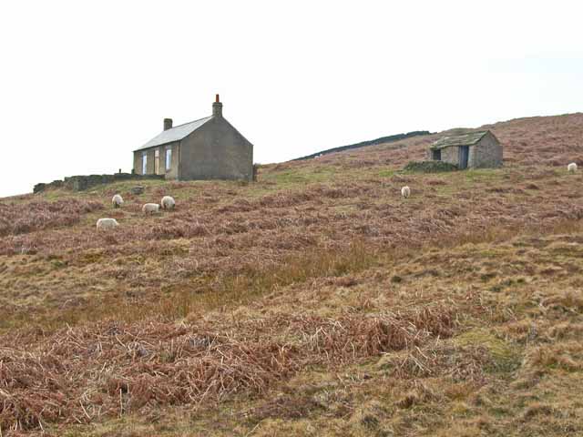
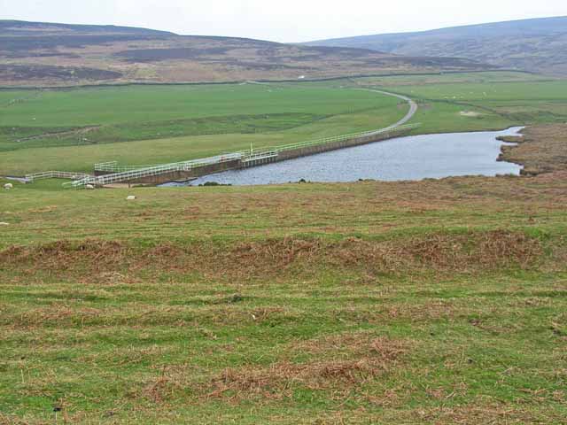
Pedamsoak Wood Images
Images are sourced within 2km of 54.831564/-2.0125002 or Grid Reference NY9948. Thanks to Geograph Open Source API. All images are credited.


Pedamsoak Wood is located at Grid Ref: NY9948 (Lat: 54.831564, Lng: -2.0125002)
Unitary Authority: County Durham
Police Authority: Durham
What 3 Words
///hungry.flight.cemented. Near Muggleswick, Co. Durham
Nearby Locations
Related Wikis

Muggleswick, Stanhope and Edmundbyers Commons and Blanchland Moor
Muggleswick, Stanhope and Edmundbyers Commons and Blanchland Moor is a Site of Special Scientific Interest in County Durham and Northumberland, England...
Edmundbyers
Edmundbyers is a village in County Durham, in England. It is situated a few miles to the west of Consett, near Derwent Reservoir. In 2001 it had a population...

Blanchland
Blanchland is a village in Northumberland, England, on the County Durham boundary. The population of the civil parish at the 2011 census was 135.Set beside...

Blanchland Abbey
Blanchland Abbey at Blanchland, in the English county of Northumberland, was founded as a premonstratensian priory in 1165 by Walter de Bolbec II, and...

Hunstanworth
Hunstanworth is a village in County Durham, England. It is situated approximately 10 miles to the west of Consett, south-west of the village of Blanchland...

Pow Hill Bog
Pow Hill Bog is a Site of Special Scientific Interest in the Wear Valley district of County Durham, England. It lies alongside Derwent Reservoir, approximately...
Townfield
Townfield is a village in County Durham, in England. It is situated just to the south of Hunstanworth and part of that parish, about 10 miles (16 km) west...
Baybridge, Northumberland
Baybridge is a small village in Northumberland, England, just to the west of Blanchland and on the border with County Durham. It is situated to the west...
Nearby Amenities
Located within 500m of 54.831564,-2.0125002Have you been to Pedamsoak Wood?
Leave your review of Pedamsoak Wood below (or comments, questions and feedback).