Chew Wood
Wood, Forest in Derbyshire High Peak
England
Chew Wood

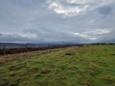
Chew Wood is a picturesque forest located in Derbyshire, England. Nestled within the stunning landscape of the Peak District National Park, this woodland area spans approximately 200 acres and is renowned for its natural beauty and diverse wildlife.
The wood is predominantly made up of deciduous trees, such as oak, beech, and birch, creating a rich tapestry of colors throughout the seasons. In spring, the forest comes alive as flowers bloom and birdsong fills the air. Summer brings a lush canopy of green leaves, providing a cool retreat from the heat. Autumn transforms the wood into a vibrant display of oranges, yellows, and reds, attracting visitors from far and wide to witness its beauty. Even in winter, Chew Wood retains its charm, with frost-covered branches and a serene atmosphere.
The forest is crisscrossed by a network of walking trails, allowing visitors to explore its hidden corners and discover its many delights. These paths meander through ancient woodland, passing by babbling brooks and tranquil ponds. Wildlife enthusiasts will be delighted by the variety of animals that call Chew Wood home, including deer, foxes, squirrels, and a plethora of bird species.
Chew Wood offers a peaceful retreat for nature lovers and outdoor enthusiasts alike. Its stunning scenery, rich biodiversity, and tranquil atmosphere make it a haven for those seeking solace in the natural world. Whether it's a leisurely stroll, a birdwatching expedition, or simply a moment of quiet contemplation, Chew Wood is a destination that captivates and rejuvenates all who visit.
If you have any feedback on the listing, please let us know in the comments section below.
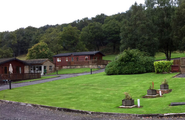
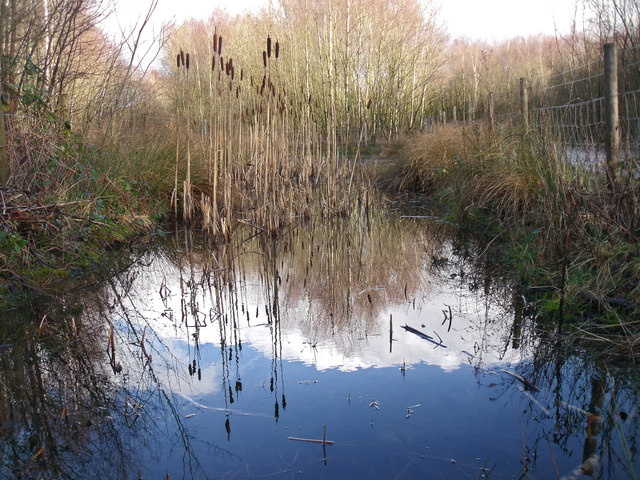
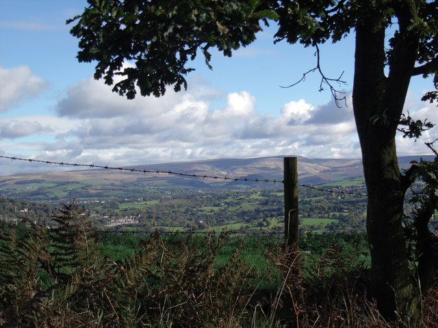
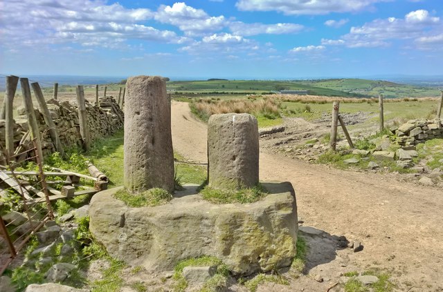
Chew Wood Images
Images are sourced within 2km of 53.427724/-2.0127532 or Grid Reference SJ9992. Thanks to Geograph Open Source API. All images are credited.


Chew Wood is located at Grid Ref: SJ9992 (Lat: 53.427724, Lng: -2.0127532)
Administrative County: Derbyshire
District: High Peak
Police Authority: Derbyshire
What 3 Words
///searches.trickling.fastening. Near Hollingworth, Manchester
Related Wikis

Chisworth
Chisworth is a hamlet near Glossop, Derbyshire, England. It is 3 miles (4.8 km) south-west of Glossop town centre, on the south side of the Etherow valley...
Ludworth Intake
Ludworth Intake (grid reference SJ994911) is a 5.1-hectare (13-acre) geological Site of Special Scientific Interest at Ludworth on the border of Derbyshire...

Holehouse
Holehouse is a hamlet in Derbyshire, England. It is located 2 miles west of Glossop, on the A626 road close to Charlesworth.

Charlesworth, Derbyshire
Charlesworth is a village and civil parish near Glossop, Derbyshire, England. The population of the civil parish at the 2011 Census was 2,449. It is 2...
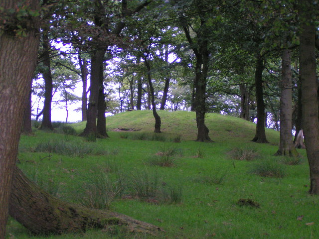
Brown Low
Brown Low is a bowl barrow most likely dating to the Bronze Age. An earth and stone mound survives east of Marple, Greater Manchester (grid reference SJ98829092...

Broadbottom railway station
Broadbottom railway station serves the village of Broadbottom in Greater Manchester, England. It is on the Manchester-Glossop Line, 10 miles (16 km) east...

Broadbottom
Broadbottom is a village in Tameside, Greater Manchester, England. Historically in Cheshire, it stands on the River Etherow which forms the border with...
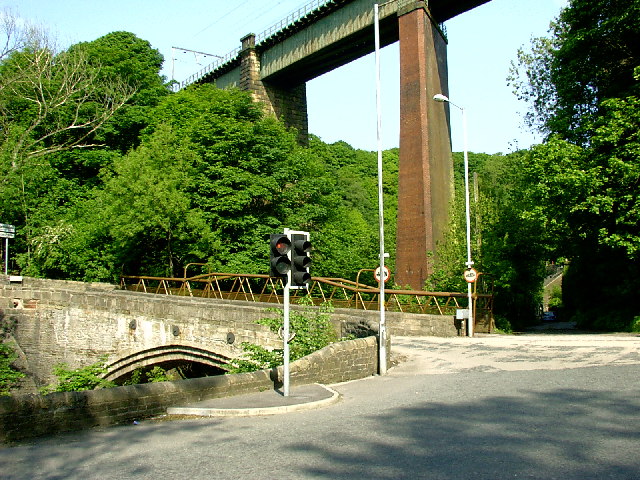
Broadbottom Viaduct
Broadbottom Viaduct (also known as Etherow or Mottram Viaduct) is a railway viaduct that spans the River Etherow between Derbyshire and Greater Manchester...
Related Videos

Cown Edge Local Wild Camp 🏕
hiking #walking #tramping #scrambling #multidayhike #multiday #greatwalk #bigwalk #adventure #exploring #travel #travelling ...
A Wander Around Cown Edge - Peak District Ethel Bagging
On my first round of the Ethel Challenge, Cown Edge was one of the ones that I visited via shortest route and had no time for a ...
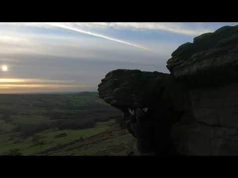
Coombes Edge Exploring a little arete of rock Sunset Sheep V2 PLKM V3
Coombes Edge Exploring a little arete of rock Sunset Sheep V2 PLKM V3 Walked past this rock a few time, had to see if there ...

Start Day 52 #fromheretojerusalem
Pilgrim's Update start Day 52 #fromheretojerusalem walking from West Cork to Jerusalem with a harp on your back. Mortram just ...
Nearby Amenities
Located within 500m of 53.427724,-2.0127532Have you been to Chew Wood?
Leave your review of Chew Wood below (or comments, questions and feedback).